


Little Jamaica aka Desert Springs
Littlefield, Arizona
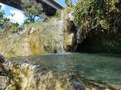
Keep Out
| Address: | 709-717 Farm Rd, Littlefield, AZ 86432, USA |
| State: | Arizona |
| Trails/Routes: | 0.1 mi |
Waterfalls Streams Rocks Ponds
Hike and Swim
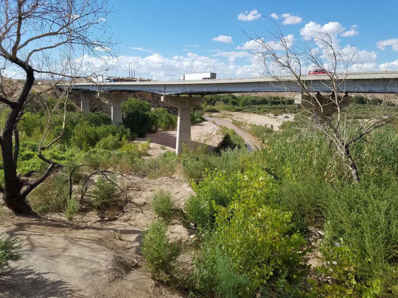
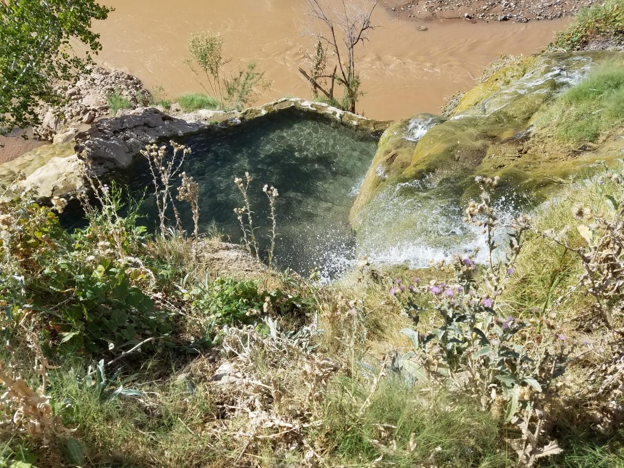
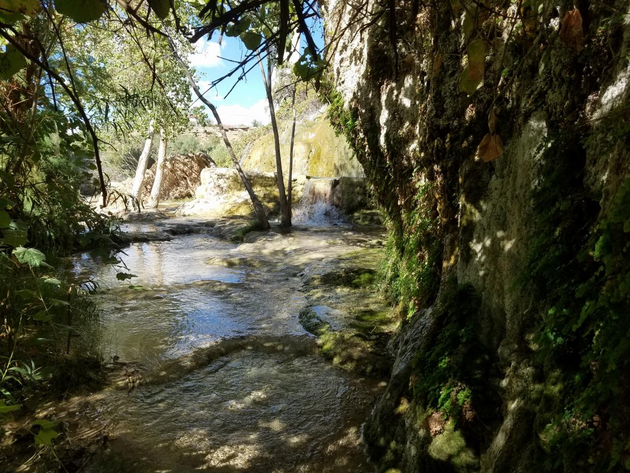
Little Jamaica, also known as Desert Springs or Littlefield Springs, was for years one of the most beloved little swimming holes in the Arizona Strip, a surprising desert oasis along the Virgin River near Littlefield, Arizona, about a 30-minute drive from St. George. A short quarter-mile walk led to a man-made pool fed by a warm mountain spring, with small waterfalls trickling through a lush pocket of green in the stark desert landscape. It earned its nickname for that unexpectedly tropical feel, and it was a favorite quick escape for students and families from St. George and Mesquite.
The important thing to know now is that Little Jamaica is closed. As of May 2022, the Arizona Department of Transportation closed off access to the area below where the man-made pool sat, and the swimming hole itself appears to have been dismantled. If you've come across older guides or videos showing the oasis and its waterfalls, this is the update that matters: it is no longer an open, accessible destination, and the pool that made it special is gone.
We're keeping this listing to make that status clear rather than to send anyone down to a closed site. Please respect the ADOT closure and do not trespass to reach it. Beyond the access issue, the setting always carried its own hazards, slippery, algae-slicked rock around the spring and pool, and the closure removes any safe, legal way to enjoy it.
The history is worth remembering fondly. Fed by a genuine mountain spring emerging into a built pool along the Virgin River, Little Jamaica was a rare desert water feature, cool and green amid red rock and creosote, close enough to the freeway to be an easy after-class or after-work stop. For a long time it was one of those word-of-mouth local treasures that made the Arizona Strip feel full of secrets.
For visitors still hoping to find water in this corner of the desert, the wider region offers legitimate, open alternatives: the developed and dispersed recreation along the Virgin River Gorge, the water features and parks around St. George and Mesquite, and the many open swimming and hiking spots of nearby southern Utah. Seeking those out is a far better plan than making the trip to a dismantled, closed site.
Treat Little Jamaica as a closed chapter, a fondly remembered desert oasis that is, for now, off the map. Respecting the closure is the right call, and it keeps the focus on the many places in the region that are still open, still watered, and still worth the drive.
More Information
(VIDEO) Guide to Little Jamaica (Find out 2023 Status Here)
2023 Guide to Little Jamaica in Littlefield, Arizona to get the most from your trip. Directions to find this hidden nugget, where to park, and
https://southwestexplorers.com/little-jamaica/Be courteous, informed, and prepared. Read trailhead guidelines, stay on the trail, and don't feed the wildlife.
Read More
- Plan Ahead and Prepare
- Travel & camp on durable surfaces
- Dispose of waste properly
- Leave what you find
- Minimize campfire impacts
- Respect wildlife
- Be considerate of other visitors
Keep Out




Other Swimming Holes and Hiking Trails Nearby

Green Valley Trail System
St. George, Utah
19.5 miles NEAn interconnected Southern Utah trail system with everything from the sandy Bearclaw Poppy and slickrock Zen Trail to technical Snake Pit and Rattlesnake routes — endless combinations for all mountain bike skill levels.
Hike, Mountain Bike 0.3 mi
Dixie Sugarloaf / Dixie Rock
St. George, Utah
24.2 miles NEDixie Rock, also known as the Dixie Sugarloaf, is St. George's most recognizable landmark: a rounded, rust-red sandstone prominence rising above the north edge of town with the word "Dixie" painted...
Hike 0.1 mi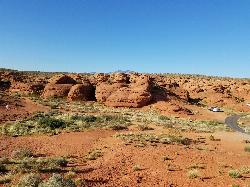
St. George Narrows
St. George, Utah
24.4 miles NEA dry, 0.17-mile slot canyon in downtown St. George inside Pioneer Park — an easy intro to canyon exploration with arch, cabin, and desert garden trails in the same park.
Hike 0.2-0.4 mi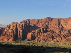
Snow Canyon State Park
St. George, Utah
26.3 miles NEA smaller, quieter cousin to Zion, Snow Canyon offers mountain biking, rock climbing, caving, and desert exploration near the Tuacahn amphitheater outside St. George.
Cave, Hike, Mountain Bike, Rock Climb 0.7 mi
Snow Canyon Lava Caves
St. George, Utah
27.3 miles NESeveral lava tubes in Snow Canyon State Park with an open entrance, narrow passages, and a large final room — plus five Native American petroglyph sites nearby on the trail.
Cave, Hike 11.3 mi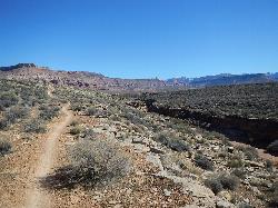
Grapevine Trail
Washington, Utah
29.5 miles NEA 5-mile out-and-back trail connecting southern Utah desert, paved paths, and rocky terrain before ending at Grapevine Spring — a small waterfall cascading down red rock.
Hike, Mountain Bike 9.4 mi
Church Rocks
Washington, Utah
29.5 miles NEA nearly 6-mile red rock ride near St. George winding through sandy desert washes and smooth slick rock — a great practice run before tackling Moab's Slick Rock Trail.
Hike, Mountain Bike 
Sand Hollow State Park
Hurricane, Utah
33.4 miles NEA desert reservoir near Hurricane with a cliff-jumping area, a sandy beach for swimming and paddleboarding, and vast sand dunes for ATVs — southern Utah's desert playground.
Camp, Canoe, Dive, Kayak, Swim 0.7 mi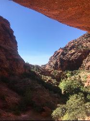
Red Reef trail
Hurricane, Utah
36.3 miles NETwo miles of red slickrock, a slot canyon, a spring waterfall, and ancient Anasazi hieroglyphs in a small cave make this an exceptional family-friendly desert hike.
Hike 3.4 mi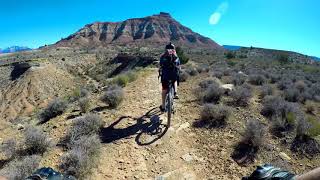
More Cowbell
Virgin, Utah
40.9 miles NEA smooth 2.7-mile beginner mountain bike loop through red Utah desert bluffs — mostly flat singletrack that's also great for hikers and connects to more challenging trails.
Hike, Mountain Bike 5.1 mi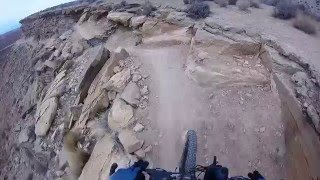
Dead Ringer
Virgin, Utah
40.9 miles NEA 5-mile desert singletrack starting from the JEM trailhead near Virgin, winding through ups and downs and bottoming out in the bumpy, hoof-print-marked Goosebumps area.
Hike, Mountain Bike 7.0 mi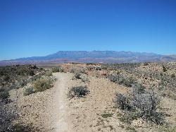
J.E.M. Trail
La Verkin, Utah
44.1 miles NEA 13.27-mile round-trip mountain bike trail near Hurricane, Utah with jarring terrain and sharp turns near sheer cliffs — beautiful red rock and desert views reward the effort.
Hike, Mountain Bike 11.6 mi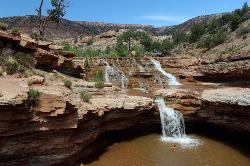
Toquerville Falls
La Verkin, Utah
46.3 miles NELedges, falls, a ladder to the best jumping spots, and a 7-foot-deep pool at the end of a 5.5-mile sandy desert drive — but stay away from the brittle, injury-prone cliff edges.
Dive, Hike, Mountain Bike, Swim 3.3 mi
Guacamole Mesa
Virgin, Utah
49.8 miles NEAn 11-mile advanced desert loop on Guacamole Mesa outside Zion NP — a steep, narrow climb with gorgeous red rock views gives way to a flat desert finish; avoid in rain.
Hike, Mountain Bike


