


Red Reef trail
Hurricane, Utah
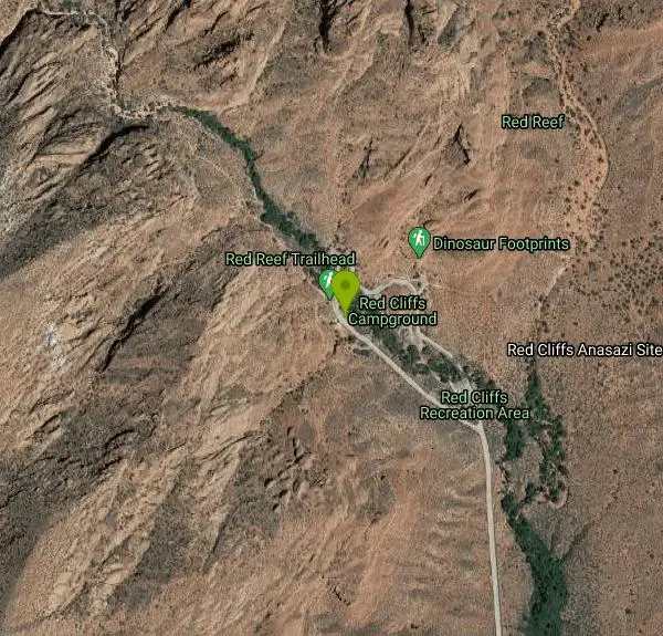
| Address: | Red Cliffs National Conservation Area, 345 E Riverside Dr, St. George, UT 84790, USA |
| GPS: |
37°13'27.5"N 113°24'22.0"W Maps | Directions |
| State: | Utah |
| Trails/Routes: | 0.7 mi |
Hike
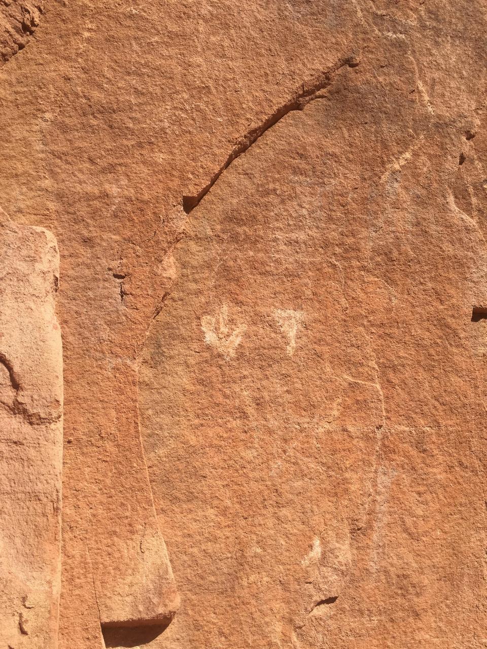
The Red Reef trail is located near the small town of Leeds, Utah and in the Red Cliffs Desert Reserve. It is a 2 mile trail that takes hikers near the beautiful red slick rock cliffs of Southern Utah, into a slot canyon, and to ancient Anasazi hieroglyphs in a small cave that is above the trailhead. The trail itself is not difficult with very few climbs along the trail, however, be sure to hike the slot canyon portion when during good weather to avoid any flash floods.
During the spring there is a waterfall in the slot canyon when the runoff from the snow but during the hottest months of the year it is completely dry. If you are not prepared to get wet, don't worry about having to hike through water as most of the trail is completely dry. As hikers enter the slot canyon there is a short rope to hold on to as hikers make their way around the waterfall. There is not much shade along the trail so be sure to bring lots of water as you hike.
There is a small entrance fee of $5 that is paid either at the entrance or in envelopes that are dropped off after you leave the reserve. The Red Reef trail is very family friendly and has many campgrounds nearby if hikers want to stay an extra day to explore this beautiful area.
Overall, the Red Reef trail is a hike that is definitely off the beaten path in the St. George area that explores the beautiful desert landscape of Southern Utah. It is somewhat unknown, but is relatively heavily trafficked throughout the year, although significantly less than Zion National Park and other well known spots in the area. Red Reef is a great place for hikers to be able to experience the serene beauty of the Red Cliffs Desert Reserve. The Red Reef trail is the perfect introduction to Southern Utah!
More Information
Red Reef Trail Hiking Guide
Overview Red Reef Trail is one of the most popular hikes in Red Cliffs Desert Reserve, a swath of desert lands set aside to protect desert tortoises (among other things). The trailhead is found at Red Cliffs Campground, which is less than two miles from Harrisburg, Utah. Red Reef Trail follows Quail Creek up a delightful red rock canyon that has flowing water and swimming holes during snowmelt and after significant rainfall. To get there, you’ll drive through a culvert underneath I-15, then up a paved road. The day use parking lot is undersized and often full. Often times, the
https://backobeyond.blog/red-reef-trail-hiking-guide/Utah's Red Rock Region Trip Planner | Directions & Campgrounds | Utah.com
Plan your trip to the Red Rock region of southwestern Utah. It's the home of beauties like Zion National Park, Snow Canyon State Park and Cedar Breaks National Monument. Ski the slopes of Brian Head Ski Resort then mountain bike world-class trails — all in one day. Mild winters make it a great year-round destination.
https://www.utah.com/destinations/regions/red-rock/Be courteous, informed, and prepared. Read trailhead guidelines, stay on the trail, and don't feed the wildlife.
Read More
- Plan Ahead and Prepare
- Travel & camp on durable surfaces
- Dispose of waste properly
- Leave what you find
- Minimize campfire impacts
- Respect wildlife
- Be considerate of other visitors
Directions
From Hurricane, Utah
- Head north on S 100 W toward State St (456 ft)
- Turn left at the 1st cross street onto W State StPass by O'Reilly Auto Parts (on the left in 0.7 mi)(6.9 mi)
- Turn right onto 5300 W/
SR-318 (3.0 mi) - Turn right onto 6300 W/
Old Hwy 91 (0.3 mi) - Turn left (0.2 mi)
- Turn leftDestination will be on the right(1.5 mi)
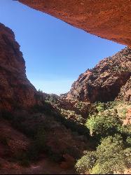
 View from Cave near the end of the Red Reef Trail by Tyler Burgener

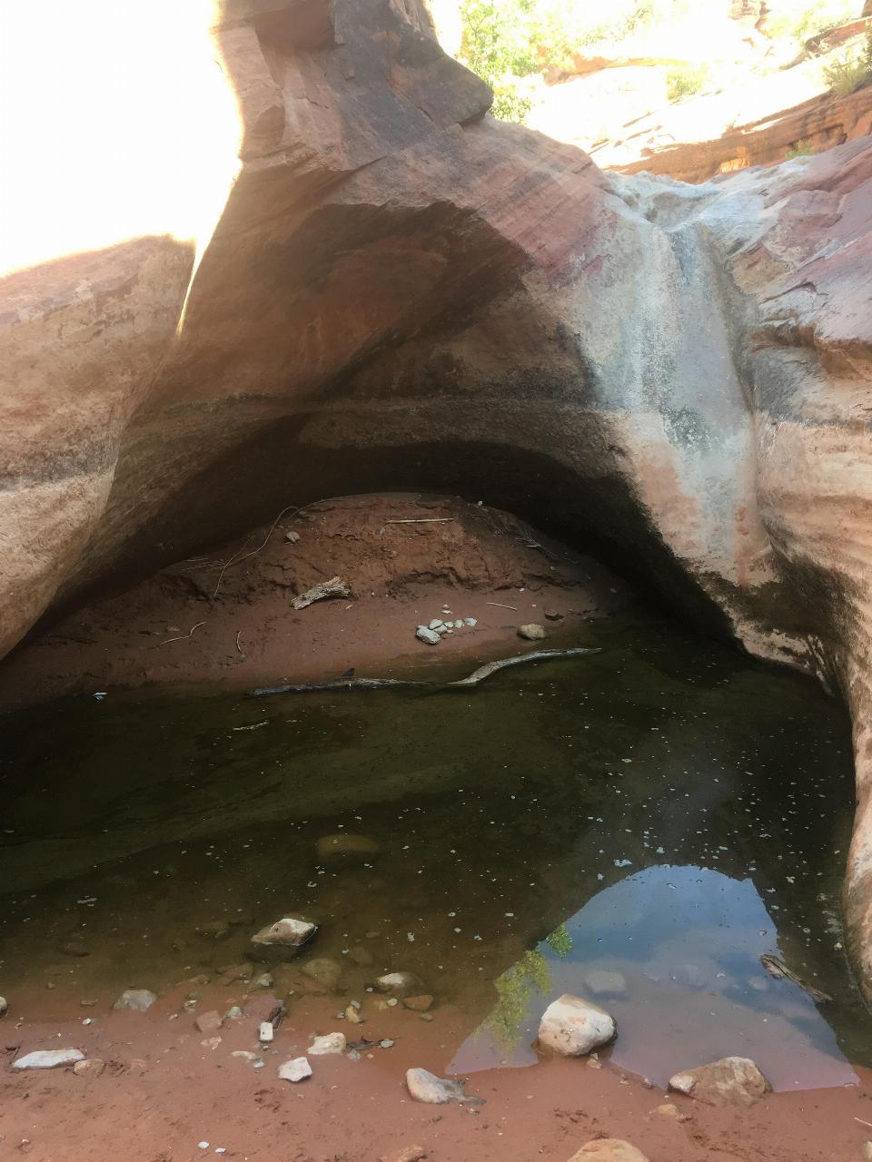 Hiking near the cliffs along the Red Reef trail by Tyler Burgener
 Anasazi Hieroglyphs inside the Cave by Tyler Burgener
 View of the Red Cliffs Desert Reserve by Tyler Burgener
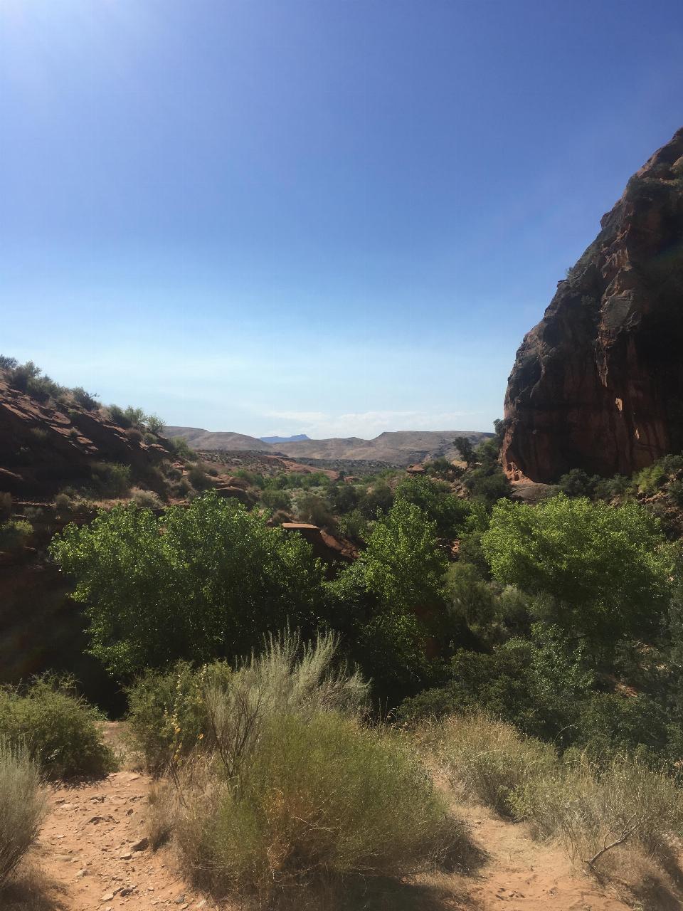 Plant life in the Red Cliffs Desert Reserve by Tyler Burgener
 Anasazi Hieroglyphs along the Red Reef trail by Tyler Burgener
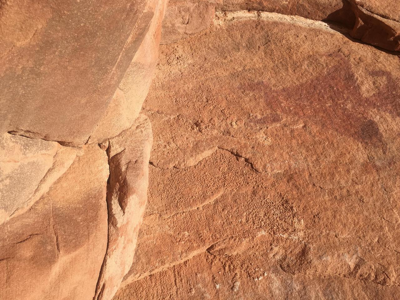 Red Reef Trail by Tyler Burgener
 View of the Canyon from the small cave by Tyler Burgener
 Small Slot Canyon along Red Reef trail by Tyler Burgener
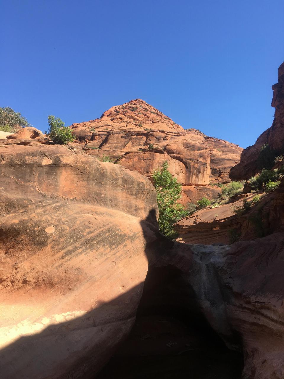 Cliff face along Red Reef trail by Tyler Burgener
 Slot Canyon along the Red Reef trail by Tyler Burgener
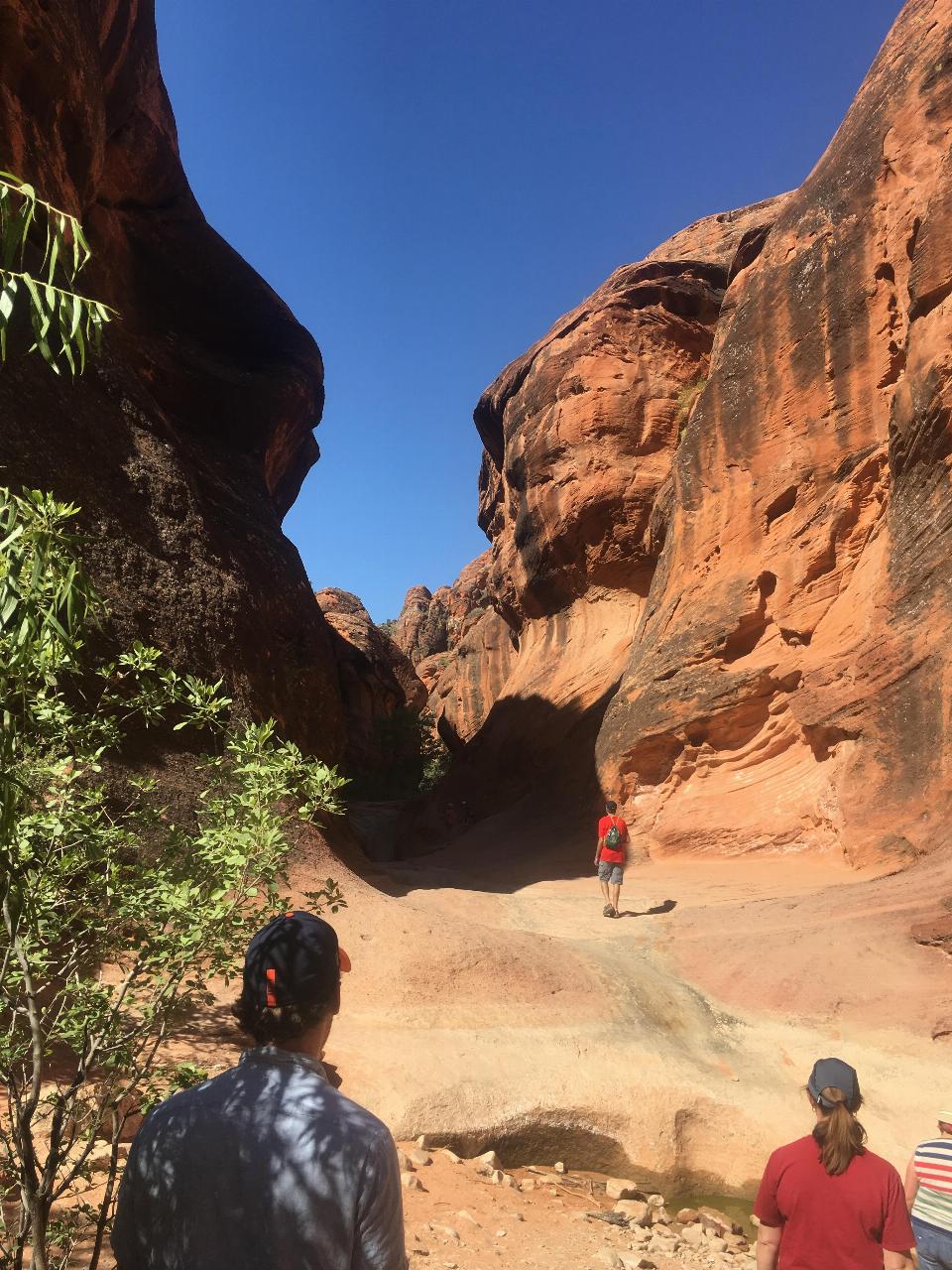 View of the Cave at Red Reef added by torontoty1214
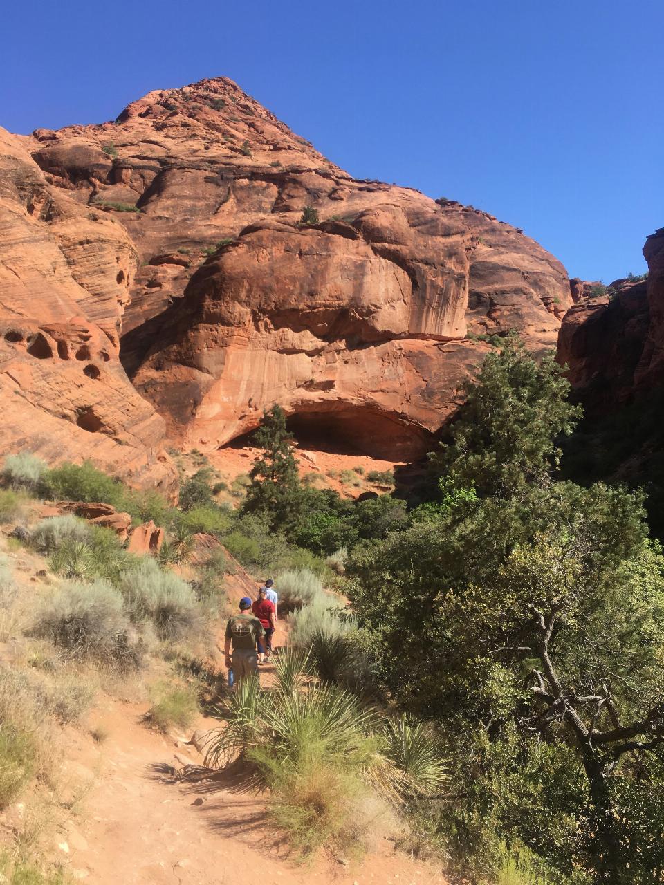 View from Red Reef trail by Tyler Burgener
 Entrance to small Red Reef slot canyon by Tyler Burgener
 Other Hieroglyphs outside the Cave by Tyler Burgener
 Slick rock area along Red Reef by Tyler Burgener

Added by torontoty1214
Other Hiking Trails Nearby
Grapevine Trail
Washington, Utah
7.0 miles SWA 5-mile out-and-back trail connecting southern Utah desert, paved paths, and rocky terrain before ending at Grapevine Spring — a small waterfall cascading down red rock.
Hike, Mountain Bike 9.4 mi
Church Rocks
Washington, Utah
7.0 miles SWA nearly 6-mile red rock ride near St. George winding through sandy desert washes and smooth slick rock — a great practice run before tackling Moab's Slick Rock Trail.
Hike, Mountain Bike 11.6 mi
Toquerville Falls
La Verkin, Utah
10.1 miles NELedges, falls, a ladder to the best jumping spots, and a 7-foot-deep pool at the end of a 5.5-mile sandy desert drive — but stay away from the brittle, injury-prone cliff edges.
Dive, Hike, Mountain Bike, Swim 7.0 mi
J.E.M. Trail
La Verkin, Utah
10.7 miles EA 13.27-mile round-trip mountain bike trail near Hurricane, Utah with jarring terrain and sharp turns near sheer cliffs — beautiful red rock and desert views reward the effort.
Hike, Mountain Bike 5.1 mi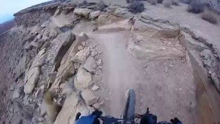
Dead Ringer
Virgin, Utah
10.8 miles SEA 5-mile desert singletrack starting from the JEM trailhead near Virgin, winding through ups and downs and bottoming out in the bumpy, hoof-print-marked Goosebumps area.
Hike, Mountain Bike 3.4 mi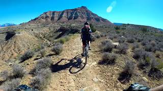
More Cowbell
Virgin, Utah
10.8 miles SEA smooth 2.7-mile beginner mountain bike loop through red Utah desert bluffs — mostly flat singletrack that's also great for hikers and connects to more challenging trails.
Hike, Mountain Bike 0.1 mi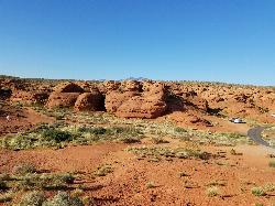
St. George Narrows
St. George, Utah
12.0 miles SWA dry, 0.17-mile slot canyon in downtown St. George inside Pioneer Park — an easy intro to canyon exploration with arch, cabin, and desert garden trails in the same park.
Hike 0.3 mi
Dixie Sugarloaf / Dixie Rock
St. George, Utah
12.1 miles SWDixie Rock, also known as the Dixie Sugarloaf, is St. George's most recognizable landmark: a rounded, rust-red sandstone prominence rising above the north edge of town with the word "Dixie" painted...
Hike 0.7 mi
Snow Canyon Lava Caves
St. George, Utah
13.0 miles WSeveral lava tubes in Snow Canyon State Park with an open entrance, narrow passages, and a large final room — plus five Native American petroglyph sites nearby on the trail.
Cave, Hike 0.2-0.4 mi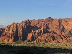
Snow Canyon State Park
St. George, Utah
13.0 miles WA smaller, quieter cousin to Zion, Snow Canyon offers mountain biking, rock climbing, caving, and desert exploration near the Tuacahn amphitheater outside St. George.
Cave, Hike, Mountain Bike, Rock Climb 3.3 mi
Guacamole Mesa
Virgin, Utah
16.0 miles EAn 11-mile advanced desert loop on Guacamole Mesa outside Zion NP — a steep, narrow climb with gorgeous red rock views gives way to a flat desert finish; avoid in rain.
Hike, Mountain Bike 0.5-15.1 mi
Green Valley Trail System
St. George, Utah
17.0 miles SWAn interconnected Southern Utah trail system with everything from the sandy Bearclaw Poppy and slickrock Zen Trail to technical Snake Pit and Rattlesnake routes — endless combinations for all mountain bike skill levels.
Hike, Mountain Bike 7.5 mi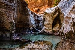
The Subway
Apple Valley, Utah
20.3 miles EA slot canyon in Zion where you hike, swim, and rappel through majestic tunnels and lava tubes — one of the most magical canyon walks in all of Utah.
Canyoneer, Hike, Swim 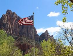
Zion National Park
Hurricane, Utah
23.3 miles EWind, water, and ice sculpted Zion's iconic red sandstone buttes, bends, and mounts into one of the most breathtaking and irreplaceable landscapes on Earth.
Camp, Hike, Mountain Bike, Swim 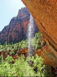
Emerald Pools Trail
Hurricane, Utah
24.7 miles EThree algae-tinted pools carved into Zion's canyon walls glow with an otherworldly emerald color fed by near-constant waterfalls — though swimming and wading are strictly prohibited.
Hike 3.6 mi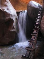
Kanarraville Falls
Kanarraville, Utah
25.0 miles NEA slot canyon hike through ankle-to-knee-deep water to twin waterfalls, with a natural sandstone slide into a refreshing swimming hole halfway through the route.
Hike, Swim 
The Grotto Trail
Springdale, Utah
25.1 miles EThe Grotto Trail is an easy, nearly level half-mile Zion walk linking Zion Lodge and The Grotto — and the gateway to Angels Landing.
Hike 2.6 mi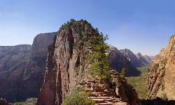
Angels Landing
Springdale, Utah
25.1 miles EZion's most iconic strenuous day hike — 21 steep switchbacks, dramatic Scout Lookout views, and a narrow chain-assisted ridge with 1,000-foot drop-offs to an unmatched canyon summit.
Hike 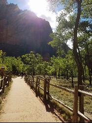
Riverside Walk
Springdale, Utah
25.6 miles EA flat, paved riverside walk through Zion's desert swamp oasis, with hanging gardens on the cliffs and the option to continue into The Narrows — check flood conditions first.
Hike 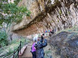
Weeping Rock
Springdale, Utah
25.9 miles EA short but steep 0.4-mile hike in Zion to a natural alcove where water seeps through sandstone, feeding lush hanging gardens of maidenhair ferns — with views of the Great White Throne.
HikeNearby Campsites

Sand Hollow State Park
Hurricane, Utah
7.3 miles SA desert reservoir near Hurricane with a cliff-jumping area, a sandy beach for swimming and paddleboarding, and vast sand dunes for ATVs — southern Utah's desert playground.
Camp, Canoe, Dive, Kayak, Swim
Zion National Park
Hurricane, Utah
23.3 miles EWind, water, and ice sculpted Zion's iconic red sandstone buttes, bends, and mounts into one of the most breathtaking and irreplaceable landscapes on Earth.
Camp, Hike, Mountain Bike, Swim


