


Green Valley Trail System
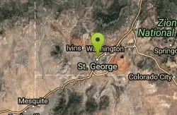
St. George, Utah

| Address: | ~1798 Navajo Dr, St George, UT 84790, USA |
| GPS: |
37°3'10.3"N 113°37'36.2"W Maps | Directions |
| State: | Utah |
| Trail Length: | 11.00 miles |
| MTB Difficulty: | Beginner |
| Trail Type: | Out & Back |
| MTB Trail Type: | Doubletrack |
| Trails/Routes: | 0.5-15.1 mi |
Hike and Mountain Bike
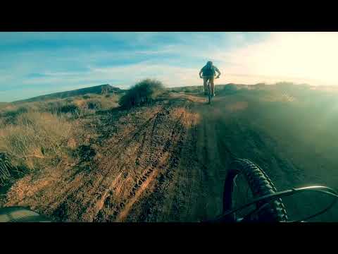
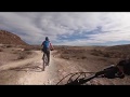
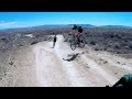
The Green Valley trail system, located just outside of St. George, Utah, is a heavily trafficked trail system that features some of the more popular trails in Southern Utah. With trails such as the Zen Trail, Bearclaw Poppy, Barrel Run, Snake Pit, Jeezy, Stucki Springs, Keyhole Wash, Curley Hollow, Rattlesnake and Green Valley Race Course trails. All of these trails are interconnected, so there is an almost unlimited amount of trail combinations that riders can do in their time riding in the trail system. Here is a short breakdown of each trail in the system:
Bearclaw Poppy is a moderate difficulty trail and will push you as you ride the trail's sandy hills, especially as riders get to an area known by locals as the "three fingers of death" which features steep drops and sharp rocks. While going through these more dangerous areas riders should exercise caution. The rest of the trail is mostly sand hills that wind through the trail that are fairly easy to ride and allow riders to enjoy the beauty of the area.
The Zen Trail is a heavily trafficked Black Diamond loop. While the loop itself is difficult, it offers stunning views of downtown St. George and the desert landscape that surrounds the city. The trail is mostly slick rock with some sandy areas intermixed with some drops that will get your heart racing as you ride through this challenging loop. The trail peaks at the overlook of the rest of the Green Valley trail system and scenic St. George.
Barrel Run is another Black Diamond trail that features lots of drops, most notably the "Waterfall" which is the largest drop on the trail. There are also several man-made jumps along the trail that allow for maximum air time while riding this fast paced trail. This trail is not for the faint of heart as riders will experience a little of everything as they speed through the fast paced Barrel Run trail.
Snake Pit is an intermediate level trail that begins along the Stucki Springs trail. There is not a trail marker for snake pit, so be sure to watch for the fork in the trail about 0.5 miles into the trail and make a left a the fork. Like the other trails in the system, there are lots of drops, twists, and turns along the Snake Pit trail, although not as intense as some of the other trails. The Snake Pit trail is meant to be ridden up hill, please be advised for other riders that are on the trail as it is heavily trafficked.
Jeezy is an intermediate level trail that is fairly short at about 1 mile, but packs a punch in the short ride. Featuring several hills, twists and turns, the Jeezy trail will keep your heart racing as you climb the hills and raced down to continue on to the other connecting trails in the system. The Jeezy trail runs between the Barrel Run trail and the Green Valley Race Course and serves mostly as a connecter trail but one that will take some riders by surprise by its challenging nature.
Stucki Springs is another intermediate level trail in the system that is about 6 miles round trip that also connects to the southern end of the Bearclaw Poppy trail. Like the other trails, it is very fast paced with many drops, hills, and quick turns. This trail is not slickrock and is much more loose than the other trails so be advised to take it at a slower speed than the other trails to avoid injury. Riders can make their way over to the Stucki Springs trail through the system itself or start from the Santa Clara River Reserve system which is connected via Stucki Springs Road.
Keyhole Wash (aka Cove Wash) is another intermediate level connecter trail between the Green Valley Race Course and Bearclaw Poppy. It is not very long, but will keep riders entertained with its quick speed as they ride between trails. It features a few drops along the trail and is usually part of the organized races along the system.
Curly Hollow is a scantly used connecter trail through Bearclaw Poppy. It is about a half mile long and can be viewed as a "short cut" through the Bearclaw Poppy loop. Since it isn't used frequently, many riders use it to power through quickly to avoid getting in the way of other riders. It is a great option if you are pressed for time and can't ride the whole Bearclaw Poppy loop.
Rattlesnake (aka Snake Pit) is a connecter trail for the Stucki Springs trail that is about 2 miles long. It is intermediate level trail that is not used very often with lots of rolling hills and obstacles that make it difficult to ride. Since this connecter trail isn't used very often, it isn't very well maintained and riding it is very difficult in parts. It may not be wise to ride along the Rattlesnake trail until St. George City can update the trail and make it safer for all riders.
Finally, Green Valley Race course is an intermediate level trail that is often used as the beginning of the race course when there are bike races held in the area. It is about 6 and a half miles round trip and can be tricky to ride with lots of turns and hills throughout the trail. It is close to the city, so riding to the trail is very easy and is very accessible.
Overall, the Green Valley Trail system offers a little something for everyone no matter the skill level. From the experts to novices, bikers can ride any amount of trails they want for nearly as long as they want. It is a mountain bikers paradise located in a desert oasis!
More Information
Bearclaw Poppy
Bearclaw Poppy is a singletrack mountain bike trail in St. George, Utah. View maps, videos, photos, and reviews of Bearclaw Poppy bike trail in St. George.
http://www.singletracks.com/bike-trails/bearclaw-poppy/Green Valley Mountain Biking Trail
Green Valley Trail is one big BMX course loaded with thrills and potential spills on a roller coaster of dirt. It runs from Green Valley to
https://www.utah.com/things-to-do/outdoor-recreation/mountain-biking/green-valley-mountain-biking-trail/Green Valley Trails
Green Valley Trails is a singletrack mountain bike trail in Green Valley, Utah. View maps, videos, photos, and reviews of Green Valley Trails bike trail in Green Valley.
https://www.singletracks.com/bike-trails/green-valley-trails/Mountain Bike Trails
Mountain bike trails in the US, Canada, and around the world. Find the best mountain bike trails near you.
https://www.singletracks.com/mountain-bike-trails/Zen Trail Mountain Bike Trail, Saint George, Utah
All around great desert singletrack providing amazing flow, technical sections, slickrock, and views Near Saint George, Utah.
https://www.mtbproject.com/trail/704021/zen-trailNever modify trail features. Ride trails when they're dry enough that you won't leave ruts. Speak up when you see others on the trail and always yield to hikers, horses, and others coming uphill. Always ride on the established trail.
Read MoreBe courteous, informed, and prepared. Read trailhead guidelines, stay on the trail, and don't feed the wildlife.
Read More
- Plan Ahead and Prepare
- Travel & camp on durable surfaces
- Dispose of waste properly
- Leave what you find
- Minimize campfire impacts
- Respect wildlife
- Be considerate of other visitors
Directions
From St. George, Utah
- Head south on S 700 E (92 ft)
- Turn right at the 1st cross street onto E 700 S (0.8 mi)
- Turn left onto S Main St (0.7 mi)
- At McDonald's, continue onto S Black Ridge Dr (0.9 mi)
- Turn right onto Dixie Dr (0.5 mi)
- Turn left onto W 600 W (0.1 mi)
- At the traffic circle, take the 1st exit onto Tonaquint Dr (1.3 mi)
- Turn right onto W Bloomington Dr N (0.8 mi)
- Turn right onto Navajo DrDestination will be on the right(0.8 mi)

Other Mountain Bike Trails and Hiking Trails Nearby
Pioneer Park
St. George, Utah
5.0 miles NEIntermediate-to-advanced technical singletrack looping near Pioneer Park with great views and some fun doubletrack — follow the turtle fence as a landmark.
Mountain Bike 0.3 mi
Dixie Sugarloaf / Dixie Rock
St. George, Utah
5.1 miles NEDixie Rock, also known as the Dixie Sugarloaf, is St. George's most recognizable landmark: a rounded, rust-red sandstone prominence rising above the north edge of town with the word "Dixie" painted...
Hike 0.1 mi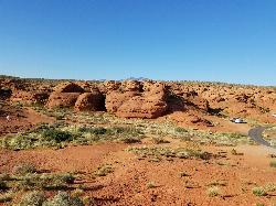
St. George Narrows
St. George, Utah
5.2 miles NEA dry, 0.17-mile slot canyon in downtown St. George inside Pioneer Park — an easy intro to canyon exploration with arch, cabin, and desert garden trails in the same park.
Hike 0.9-7.8 mi
Santa Clara River Reserve
Ivins, Utah
5.4 miles NWA sprawling beginner-to-moderate trail system on the bluffs of Southern Utah near Snow Canyon, with a connector to Green Valley — short loops or all-day rides available.
Mountain Bike 
Snake Hollow Bike Park
St. George, Utah
5.5 miles NAn 80-acre bike park in St. George with four skills zones — a dirt jump area, pump track and skills loop, gravity drops, and a slopestyle course — spread across Snake Hollow's west and east sides.
Mountain Bike 
Paradise Rim/turtle Wall
St. George, Utah
6.0 miles NA fun town-accessible ride past the Turtle Wall's slickrock and along the Paradise Rim, with technical descents and optional singletrack loops on the way back.
Mountain Bike 
Ice House Loop
St. George, Utah
9.1 miles NA thrilling nearly all-downhill mountain bike descent of 6.8 miles dropping 2,000 feet — part of the larger Broken Mesa Loop near St. George, Utah.
Mountain Bike 11.3 mi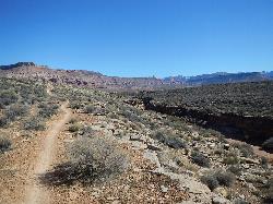
Grapevine Trail
Washington, Utah
10.0 miles NEA 5-mile out-and-back trail connecting southern Utah desert, paved paths, and rocky terrain before ending at Grapevine Spring — a small waterfall cascading down red rock.
Hike, Mountain Bike 9.4 mi
Church Rocks
Washington, Utah
10.1 miles NEA nearly 6-mile red rock ride near St. George winding through sandy desert washes and smooth slick rock — a great practice run before tackling Moab's Slick Rock Trail.
Hike, Mountain Bike 0.2-0.4 mi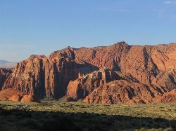
Snow Canyon State Park
St. George, Utah
10.4 miles NA smaller, quieter cousin to Zion, Snow Canyon offers mountain biking, rock climbing, caving, and desert exploration near the Tuacahn amphitheater outside St. George.
Cave, Hike, Mountain Bike, Rock Climb 0.7 mi
Snow Canyon Lava Caves
St. George, Utah
11.7 miles NSeveral lava tubes in Snow Canyon State Park with an open entrance, narrow passages, and a large final room — plus five Native American petroglyph sites nearby on the trail.
Cave, Hike 
Broken Mesa Rim
St. George, Utah
12.2 miles NA climb from the Red Cliffs Desert Reserve through basalt boulders and juniper to a 5-mile twisting mesa-top descent — including a straightforward 20% grade through broken lava at the edge.
Mountain Bike 
Prospector - Church Rocks Loop
Hurricane, Utah
15.1 miles NEA flowing singletrack loop through red rock ledges, slickrock bowls, and sandy stretches, finishing with over a mile of slickrock riding and a dramatic encounter with large black volcanic rocks.
Mountain Bike 0.7 mi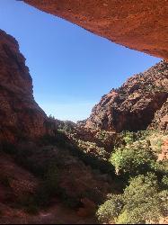
Red Reef trail
Hurricane, Utah
17.0 miles NETwo miles of red slickrock, a slot canyon, a spring waterfall, and ancient Anasazi hieroglyphs in a small cave make this an exceptional family-friendly desert hike.
Hike 
Hurricane Rim trail
Hurricane, Utah
18.4 miles EA rocky singletrack rim trail above the Virgin River with slab sections, several hundred feet of exposure, and spectacular views — rideable out and back or as part of the Hurricane Loop.
Mountain Bike 
Gould's Rim trail
Hurricane, Utah
18.8 miles EA rim trail along the edge of a canyon near Hurricane, Utah — starts smooth and grows rocky, with stunning views as it winds between a doubletrack climb and the Goulds trail junction.
Mountain Bike 0.1 mi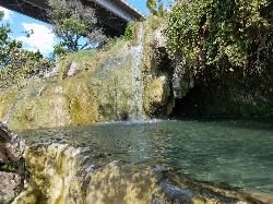
Little Jamaica aka Desert Springs
Littlefield, Arizona
19.5 miles SWCLOSED. A tropical-feeling warm spring waterfall and pool in the Arizona desert, with plant-covered grottos and a family-friendly depth that never exceeds five feet.
Hike, Swim 3.4 mi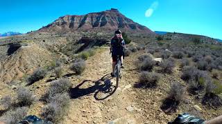
More Cowbell
Virgin, Utah
22.0 miles EA smooth 2.7-mile beginner mountain bike loop through red Utah desert bluffs — mostly flat singletrack that's also great for hikers and connects to more challenging trails.
Hike, Mountain Bike 5.1 mi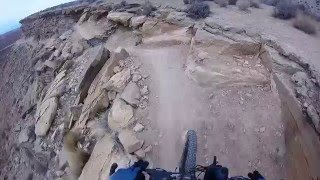
Dead Ringer
Virgin, Utah
22.0 miles EA 5-mile desert singletrack starting from the JEM trailhead near Virgin, winding through ups and downs and bottoming out in the bumpy, hoof-print-marked Goosebumps area.
Hike, Mountain Bike 13.1 mi
Little Creek Mesa
Hurricane, Utah
22.2 miles ETwenty miles of interconnected red-rock singletrack across Little Creek Mesa, Gooseberry Mesa, and West Mesa, with sheer cliffs, slickrock descents, and big scenery near Hurricane.
Mountain BikeNearby Campsites

Sand Hollow State Park
Hurricane, Utah
14.3 miles EA desert reservoir near Hurricane with a cliff-jumping area, a sandy beach for swimming and paddleboarding, and vast sand dunes for ATVs — southern Utah's desert playground.
Camp, Canoe, Dive, Kayak, Swim 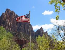
Zion National Park
Hurricane, Utah
37.0 miles EWind, water, and ice sculpted Zion's iconic red sandstone buttes, bends, and mounts into one of the most breathtaking and irreplaceable landscapes on Earth.
Camp, Hike, Mountain Bike, Swim


