


Lost Lake Loop Trail
Cascade Locks, Oregon
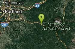
| Address: | Lakeshore Trail #656, Cascade Locks, OR 97014, USA |
| GPS: |
45°29'45.3"N 121°49'21.3"W Maps | Directions |
| State: | Oregon |
| Trail Length: | 1.20 miles |
| Trail Type: | Out & Back |
| Hike Difficulty: | Beginner |
Canoe and Hike
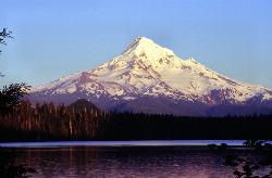
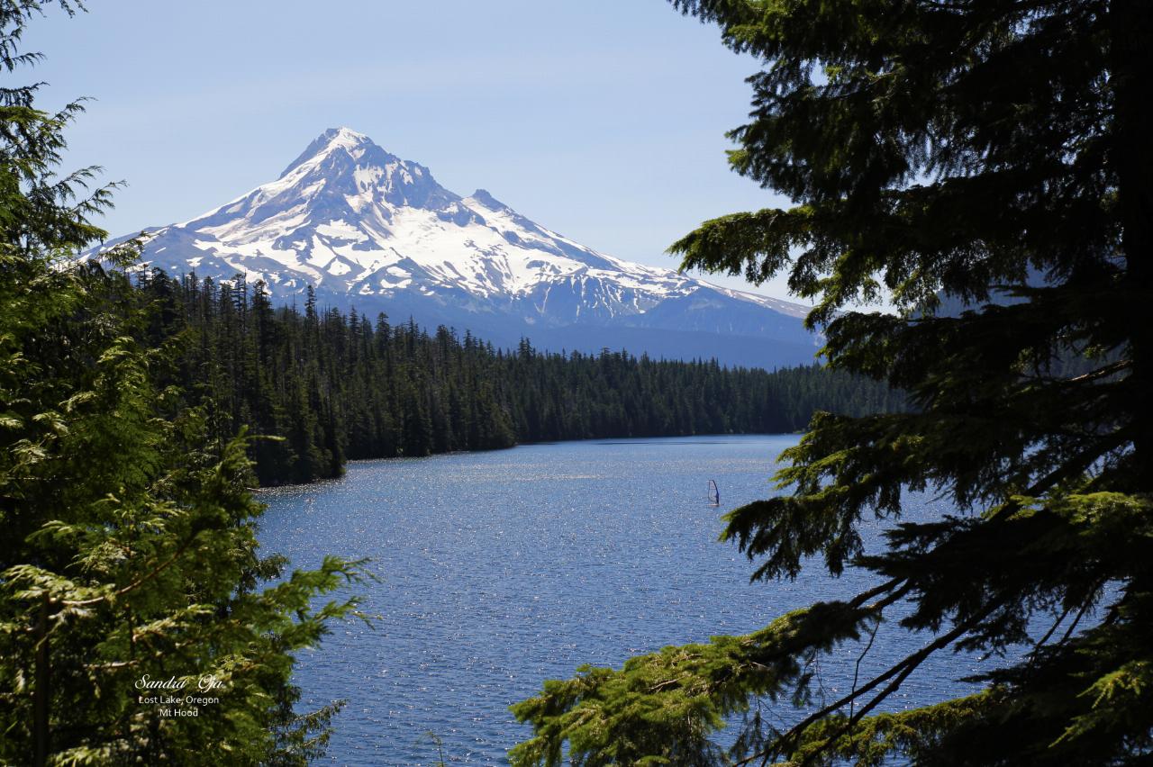
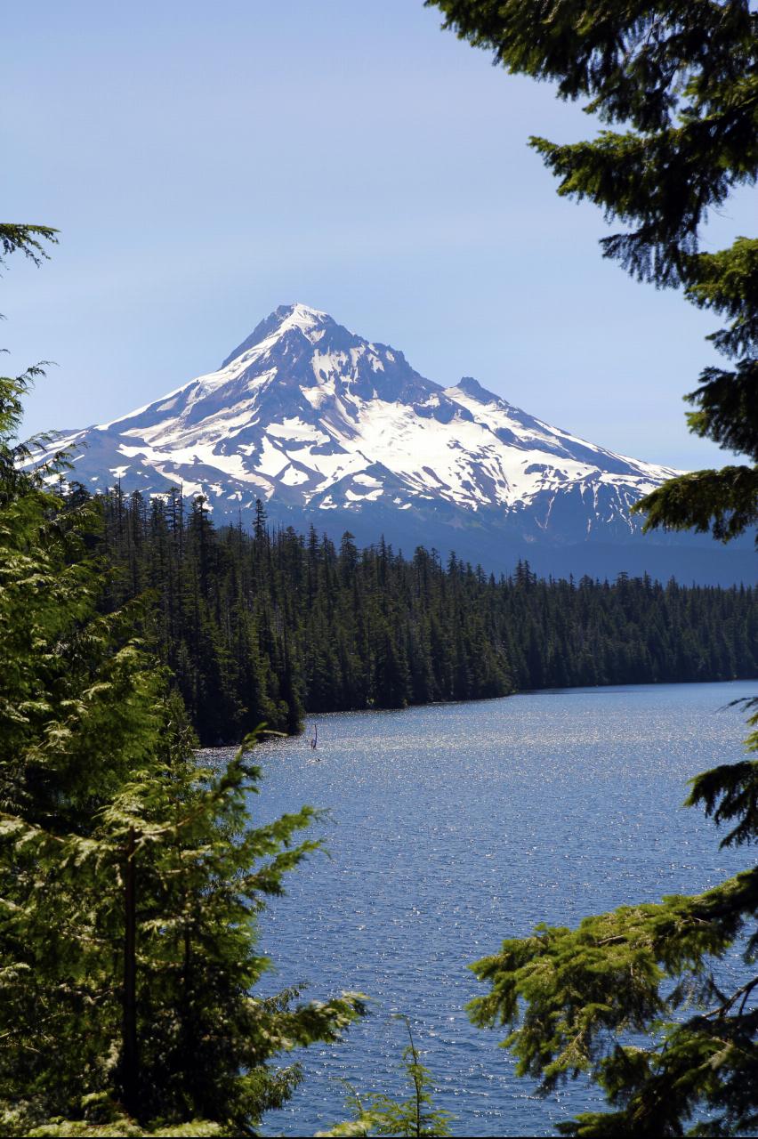
Lost Lake is one of the most beautiful and famous mountain lakes in Oregon, a clear, deep-blue lake cradled in old-growth forest in the Mount Hood National Forest, and the Lost Lake Loop, or Lakeshore Trail, is the gentle path that circles it. Its claim to fame is the view: from the wooden decks on the north shore, snow-capped Mount Hood rises directly across the water and mirrors in the lake's surface, a scene so iconic that Lost Lake is often called the most photographed lake in the state, with most of those photos taken from exactly this spot.
The trail itself is a delight and refreshingly easy. The Lakeshore Trail runs about 3.1 miles all the way around the lake with only around 100 feet of elevation change, a flat, level loop that takes most people an hour to an hour and a half. That gentle grade makes it a genuine family favorite, welcoming to children and dogs alike, and much of the east shore follows an extensive boardwalk system with periodic fishing piers, several of them accessible to visitors with disabilities. It's the rare marquee mountain view that almost anyone can reach.
Beyond the walk, Lost Lake is a full recreation destination. The calm water is popular for canoeing, kayaking and paddleboarding (motorized boats are not allowed), and the lake is fished for trout, so the loop pairs naturally with a paddle or a picnic. The Lost Lake Resort operates the area, with a campground, cabins and rentals clustered near the trailhead.
The lake is privately operated, so there is a day-use parking fee (around six dollars per car) to park at the trailhead, and being high in the Cascades, the road and area are subject to seasonal winter closure, so the practical season runs roughly late spring through fall once the snow clears. Mount Hood shows best on calm, clear mornings when the reflection is sharp.
The setting is classic Cascade Oregon: towering Douglas fir and cedar, huckleberries in late summer, and that unforgettable volcano rising over the water. Summer weekends are busy and the lot can fill, so an early arrival buys both parking and the stillest reflection. For an easy, gorgeous, family-friendly loop around a lake with one of the finest mountain views in the Pacific Northwest, Lost Lake is an Oregon essential.
More Information
Lost Lake - Oregon Wild
Highlights Difficulty: EasyDistance: 3.2 mile loopElevation Gain: 20 feetSeason: Late spring, summer, fallNotes: The lake is privately held and requires a $6 day fee (per car) for parking. More at https://lostlakeresort.org/This hike is featured in “Oregon’s Ancient Forests: A hiking guide” – Get the book here! About this Hike You can find the heart of […]
https://oregonwild.org/resource/lost-lake/Lost Lake Loop - Discover Mt. Hood
Lost Lake Loop is a popular tourist destination in the Hood River area. It's easy, family-friendly, and has views of the lake along the whole trail.
https://www.discovermthood.com/lost-lake-loop/Lost Lake Loop Hike - Hiking in Portland, Oregon and Washington
The scenic loop around Lost Lake is perhaps the best family hike for young children in this guide. The route is nearly level, there are numerous places to stop and poke feet or fingers into the lake, and parents will enjoy the classic views of Mount Hood during the final mile. Better yet, there are excellent campsites above the lake, though they're in high demand during peak summer months.
https://www.oregonhikers.org/field_guide/Lost_Lake_Loop_HikeBe courteous, informed, and prepared. Read trailhead guidelines, stay on the trail, and don't feed the wildlife.
Read More
- Plan Ahead and Prepare
- Travel & camp on durable surfaces
- Dispose of waste properly
- Leave what you find
- Minimize campfire impacts
- Respect wildlife
- Be considerate of other visitors
Directions
From Cascade Locks, Oregon
- Head northeast on US-30/Wa Na Pa St toward SW Cascade AveContinue to follow US-30(0.8 mi)
- Turn left to merge onto I-84 E (16.8 mi)
- Take exit 62 for US-30/Westcliff Drive toward W Hood River (0.2 mi)
- Turn right onto US-30 E (0.2 mi)
- Turn right onto Mt Adams Ave (433 ft)
- Mt Adams Ave turns slightly right and becomes Wine Country Ave (0.3 mi)
- Continue onto Country Club Rd (2.8 mi)
- Turn left onto Barrett Dr (1.2 mi)
- Turn right onto OR-281 S (2.0 mi)
- Turn right to stay on OR-281 S (6.3 mi)
- Slight right toward Lost Lake Rd (0.2 mi)
- Turn left onto Lost Lake Rd (1.3 mi)
- Turn left to stay on Lost Lake Rd (0.5 mi)
- Turn right to stay on Lost Lake Rd (6.1 mi)
- Turn right onto Lost Lake Rd/NF-13 (5.5 mi)
- Slight right onto N F Dev Rd 1340 (0.4 mi)
- Turn right onto North Rd (0.1 mi)
- Turn left to stay on North RdDestination will be on the right(0.2 mi)




Other Hiking Trails and Canoeing Areas Nearby
Wildwood Recreation Site
Mount Hood Village, Oregon
12.5 miles SWMount Hood's Wild and Scenic Salmon River beckons hikers to wade through a lush forested corridor along the Mount Hood Scenic Byway near Welches.
Hike, Mountain Bike, Swim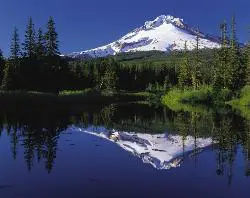
Mirror Lake Trail
Government Camp, Oregon
13.2 miles SA family-friendly 3.2-mile hike through dense forest to Mirror Lake, which perfectly reflects Mount Hood in its still glacial cirque waters — don't forget a camera.
Hike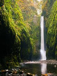
Oneonta Gorge
Cascade Locks, Oregon
13.6 miles NWA mossy, fern-draped slot canyon in the Columbia Gorge — no trail, chest-deep cold water, log jams to climb, and loose river rock underfoot — Oneonta Gorge is an unforgettable adventure.
Hike, Swim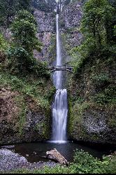
Multnomah Falls
Cascade Locks, Oregon
15.2 miles WMultnomah Falls is Oregon's tallest waterfall — a 620-foot, two-tier showstopper in the Columbia River Gorge with the iconic Benson Bridge.
Hike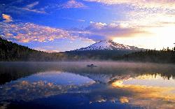
Trillium Lake Day Use Area
Government Camp, Oregon
16.2 miles SA shallow 63 acre lake at 3,600 feet south of Government Camp, with the most photographed reflection of Mount Hood in Oregon and a day use area at the dam.
Camp, Canoe, Hike, Kayak, Swim
Hood River Waterfront Park Swim Cove
Hood River, Oregon
21.1 miles NESheltered sandy swim cove on the Columbia at Hood River's six-acre city waterfront park, next to the Hook and the Event Site kiteboard beaches.
Hike, Kayak, Kiteboard, Swim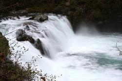
Sunset Falls Campground
Yacolt, Washington
30.4 miles NWA majestic waterfall that drains into a large, deepening pool — just a 0.1-mile hike from the trailhead, with large smooth rocks perfect for sunbathing and picnicking beside the falls.
Camp, Hike, Swim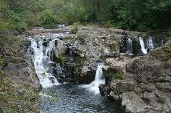
Moulton Falls County Park
Yacolt, Washington
35.8 miles NWA 387-acre park with two majestic waterfalls, volcanic rock formations, a historic swing bridge, and the 8.1-mile Bells Mountain Trail — swimming allowed with caution (no jumping from the bridge).
Hike, Swim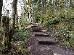
Tryon Park
Portland, Oregon
41.7 miles WA lush 658-acre second-growth forest oasis 15 minutes from downtown Portland — 8 miles of hiking trails, 8 bridges, a wetland boardwalk, and a nature center with programs and guided hikes.
Backpack, Hike, Horseback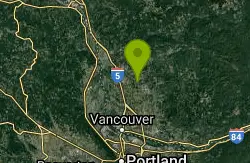
Daybreak Regional Park
Battle Ground, Washington
42.9 miles NWA day-use park on the Lewis River with a boat launch, 15 picnic spots, a playground, and easy river access for fishing, skipping rocks, or wading — open 7 am to dusk.
Hike, Swim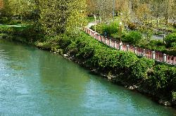
Willamette River Trail
Canby, Oregon
44.3 miles WA flat, shaded paved and natural surface trail along the Willamette River in Eugene — a leisurely ride or walk through scenic riverside greenery, ideal for hot days with ample tree cover.
Hike, Mountain Bike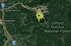
Ape Cave
Cougar, Washington
46.2 miles NWThe longest lava tube in the continental US at over two miles, carved beneath Mount St. Helens — open year-round for exploring in the Mount St. Helens National Monument south of Cougar, Washington.
Cave, HikeNearby Campsites
Trillium Lake Day Use Area
Government Camp, Oregon
16.2 miles SA shallow 63 acre lake at 3,600 feet south of Government Camp, with the most photographed reflection of Mount Hood in Oregon and a day use area at the dam.
Camp, Canoe, Hike, Kayak, Swim
Sunset Falls Campground
Yacolt, Washington
30.4 miles NWA majestic waterfall that drains into a large, deepening pool — just a 0.1-mile hike from the trailhead, with large smooth rocks perfect for sunbathing and picnicking beside the falls.
Camp, Hike, Swim


