


Ape Cave
Cougar, Washington
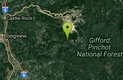
| GPS: |
46°6'29.0"N 122°12'43.0"W Maps | Directions |
| State: | Washington |
Cave and Hike
Ape Cave is a world-class underground adventure on the south flank of Mount St. Helens in Washington's Gifford Pinchot National Forest — the longest lava tube in the continental United States, stretching more than two miles through the dark heart of a 2,000-year-old lava flow. A trip into this cool, pitch-black tube is one of the most unique and memorable outings in the entire Mount St. Helens National Volcanic Monument.
Visitors can explore two routes: the easier Lower Cave (an out-and-back walk on a relatively smooth floor) and the more challenging Upper Cave, a 1.5-mile route that requires scrambling over rock piles and climbing an eight-foot lava wall, exiting via a forest trail back to the start. Either way, it's an awe-inspiring journey through a volcanic landscape sculpted by molten rock.
Come prepared — this is a real cave, not a lit tourist attraction. There are no lights inside, so you must bring at least two reliable light sources per person (headlamps are ideal; lanterns can be rented at the on-site headquarters in summer). The cave stays a chilly 42 degrees year-round, so bring a jacket and sturdy, closed-toe shoes with good grip.
Plan ahead for access: in the summer season (roughly May through September), timed-entry reservations are required and must be purchased in advance through Recreation.gov (a small fee, one per vehicle) — they're not sold on-site. Help protect the cave's bats by not bringing gear worn in other caves. Bring your lights, layers, and sense of adventure, tread carefully on the rocky floor, and Ape Cave delivers an unforgettable walk through the underground world of a volcano.
More Information
Ape Caves - Map & Guide to Mt. St. Helens Ape Cave - MountStHelens.com
Ape Cave Visitor Guide & Maps, Driving instructions to Ape Caves, Lava Cave and Lava Tube information with photos of Mt. St. Helens Ape Caves.
http://mountsthelens.com/ape-caves.htmlBe courteous, informed, and prepared. Read trailhead guidelines, stay on the trail, and don't feed the wildlife.
Read More
- Plan Ahead and Prepare
- Travel & camp on durable surfaces
- Dispose of waste properly
- Leave what you find
- Minimize campfire impacts
- Respect wildlife
- Be considerate of other visitors
Directions
From Cougar, Washington
- Head northeast on Lewis River Rd toward Cougar Camp Rd (3.4 mi)
- Continue onto Rd 90 (0.6 mi)
- Rd 90 turns slightly right and becomes Rd No 90 (2.6 mi)
- Turn left onto NF-83 (1.7 mi)
- Turn left onto NF-8303 (0.9 mi)
- Turn rightDestination will be on the right(0.1 mi)
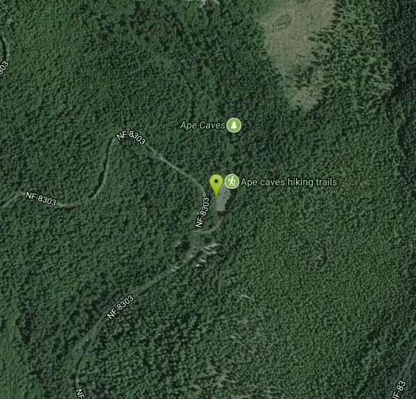
From Cougar, drive east on Forest Road 90 just 1 mile beyond the Swift Dam, and turn left (north) onto FR 83. Drive 2 miles on FR 83 and turn left onto FR 8303. Continue for 1 mile on FR 8303 to the trailhead on the right. (Courtesy of WTA.org)
Other Hiking Trails and Caves Nearby
Sunset Falls Campground
Yacolt, Washington
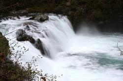
20.1 miles SA majestic waterfall that drains into a large, deepening pool — just a 0.1-mile hike from the trailhead, with large smooth rocks perfect for sunbathing and picnicking beside the falls.
Camp, Hike, Swim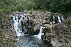
Moulton Falls County Park
Yacolt, Washington
20.9 miles SWA 387-acre park with two majestic waterfalls, volcanic rock formations, a historic swing bridge, and the 8.1-mile Bells Mountain Trail — swimming allowed with caution (no jumping from the bridge).
Hike, Swim
Daybreak Regional Park
Battle Ground, Washington
27.3 miles SWA day-use park on the Lewis River with a boat launch, 15 picnic spots, a playground, and easy river access for fishing, skipping rocks, or wading — open 7 am to dusk.
Hike, Swim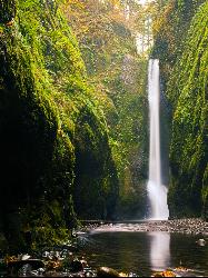
Oneonta Gorge
Cascade Locks, Oregon
36.7 miles SA mossy, fern-draped slot canyon in the Columbia Gorge — no trail, chest-deep cold water, log jams to climb, and loose river rock underfoot — Oneonta Gorge is an unforgettable adventure.
Hike, Swim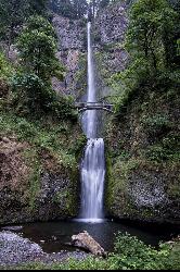
Multnomah Falls
Cascade Locks, Oregon
37.0 miles SMultnomah Falls is Oregon's tallest waterfall — a 620-foot, two-tier showstopper in the Columbia River Gorge with the iconic Benson Bridge.
Hike
Hood River Waterfront Park Swim Cove
Hood River, Oregon
43.1 miles SESheltered sandy swim cove on the Columbia at Hood River's six-acre city waterfront park, next to the Hook and the Event Site kiteboard beaches.
Hike, Kayak, Kiteboard, Swim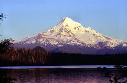
Lost Lake Loop Trail
Cascade Locks, Oregon
46.3 miles SELost Lake is one of the most beautiful and famous mountain lakes in Oregon, a clear, deep-blue lake cradled in old-growth forest in the Mount Hood National Forest, and the Lost Lake Loop, or...
Canoe, Hike


