


Memorial Park
Loma Mar, California
| GPS: |
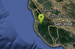
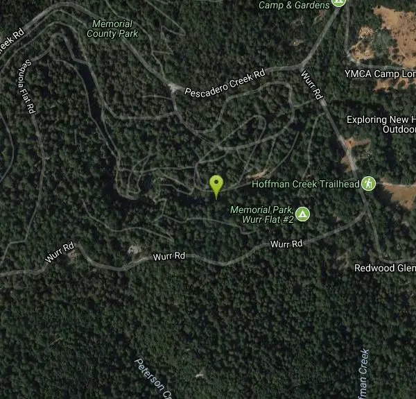
37°16'24.6"N 122°17'23.4"W Maps | Directions |
| State: | California |
Swim
More Information

- Plan Ahead and Prepare
- Travel & camp on durable surfaces
- Dispose of waste properly
- Leave what you find
- Minimize campfire impacts
- Respect wildlife
- Be considerate of other visitors
Directions
From Loma Mar, California
- Head south on Loma Mar Ave toward Sylvan Way (0.1 mi)
- Turn left to stay on Loma Mar Ave (154 ft)
- Slight left onto Pescadero Creek Rd (0.1 mi)
- Turn right onto Wurr Rd (1.3 mi)
- Turn left (82 ft)
- Slight left (0.1 mi)
Other Swimming Holes Nearby
Pescadero Creek Trail Area
Loma Mar, California
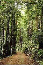
0.1 miles EShady interconnected trails weave through redwoods, ridges, and rolling valleys linking four parks in the Santa Cruz Mountains — a cool escape just an hour from the Bay Area.
Hike, Horseback, Mountain Bike, Swim
Half Moon Bay State Beach
Half Moon Bay, California
15.9 miles NWA historic railroad corridor trail along the Half Moon Bay Pacific Coast with sweeping ocean views, access to multiple beaches, red-tailed hawks, herons, and a distant view of the famous Mavericks surf break.
Camp, Hike, Horseback, Swim
Garden of Eden
Felton, California
21.4 miles SEA popular Santa Cruz Mountains swimming hole with sunny beaches, blue water, and cliffs for jumping — multiple pools for all ages, with no campfires allowed in the area.
Hike, Swim
Quarry Lakes Regional Recreation Area (Niles Beach)
Fremont, California
26.2 miles NELifeguarded sand beach on Horseshoe Lake at Quarry Lakes Regional Recreation Area in Fremont, a 471-acre East Bay park of former gravel pits turned swimming and fishing lakes.
Hike, Kayak, Mountain Bike, Swim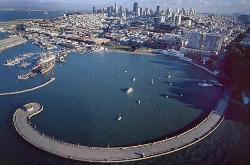
Aquatic Park
San Francisco, California
37.6 miles NA historic San Francisco Bay swimming lagoon in the Golden Gate National Recreation Area — the water is cold and not always pristine, but devoted year-round swimmers and two open clubs keep the tradition alive.
Swim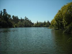
Temescal Regional Recreation Area
Oakland, California
39.8 miles NGuarded swim beach on a ten acre lake in the Oakland hills, one of the three original East Bay Regional Parks, tucked between Highway 24 and the Caldecott Tunnel approach.
Hike, Swim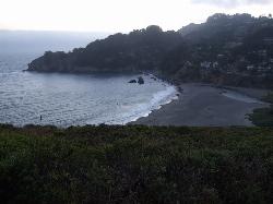
Muir Beach
Muir Beach, California
43.5 miles NA hidden gem beach north of San Francisco with a 0.2-mile walk to the shore, informational placards for kids, sunset views over the Pacific, and access to the Coastal Trail.
Hike, Swim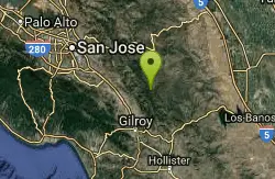
China Hole
Morgan Hill, California
44.3 miles EA moderately strenuous hike to a historic mineral springs resort site and, a mile farther, China Hole — a 20-foot-wide, 7-to-8-foot-deep natural pool with a small sandy beach and flat boulders.
Camp, Hike, SwimNearby Campsites
Half Moon Bay State Beach
Half Moon Bay, California
15.9 miles NWA historic railroad corridor trail along the Half Moon Bay Pacific Coast with sweeping ocean views, access to multiple beaches, red-tailed hawks, herons, and a distant view of the famous Mavericks surf break.
Camp, Hike, Horseback, Swim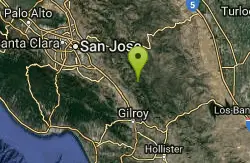
Henry Coe State Park Campground
Morgan Hill, California
41.4 miles EA wild wilderness state park near Morgan Hill with spectacular spring wildflowers, year-round camping, creeks, ponds, fishing, and miles of hiking and biking on dirt roads and trails.
Camp, Hike, Horseback, Mountain Bike
China Hole
Morgan Hill, California
44.3 miles EA moderately strenuous hike to a historic mineral springs resort site and, a mile farther, China Hole — a 20-foot-wide, 7-to-8-foot-deep natural pool with a small sandy beach and flat boulders.
Camp, Hike, Swim


