


Temescal Regional Recreation Area
Oakland, California
| GPS: |
37°50'51.0"N 122°13'49.9"W Maps | Directions |
| State: | California |
Hike and Swim
Lake Temescal is a small lake with a long history sitting in a fold of the Oakland hills where Highway 24 dives into the Caldecott Tunnel. Anthony Chabot built the dam in 1868 to supply drinking water to Oakland, and the way he built it is the interesting part: rather than hauling fill, he used hydraulic mining monitors to wash the hillside down into the ravine, then drove herds of horses back and forth across the deposited earth to compact it. The dam held, the technique became the model for his larger dams at Lake Chabot and elsewhere, and the reservoir stayed in the water system until Oakland outgrew it.
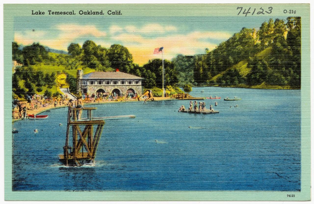
In 1936 Temescal became one of the first three parks of the brand new East Bay Regional Park District, along with Tilden and Redwood. The beach, the stone bathhouse and the Beach House at the north end all date from that era and the WPA work that followed. The lake covers about ten acres, sits in a bowl of eucalyptus, bay and oak, and is circled by a flat trail a little over a mile long that makes a pleasant lap without much climbing.
The swim beach is on the north shore, a crescent of coarse sand with a roped-off shallow area and a raft further out. Lifeguards are on duty during the posted summer season, usually from late May through early September, with weekend-only coverage at the shoulders. Outside those hours the beach is closed to swimming. The water is fresh, calm and warmer than anything in the bay, generally in the upper 60s to low 70s by August. The park district tests the water regularly and posts closures when bacteria counts rise or when a blue-green algae bloom appears, which happens most often in late summer during warm still spells, so it is worth checking the swim status page the morning you go.
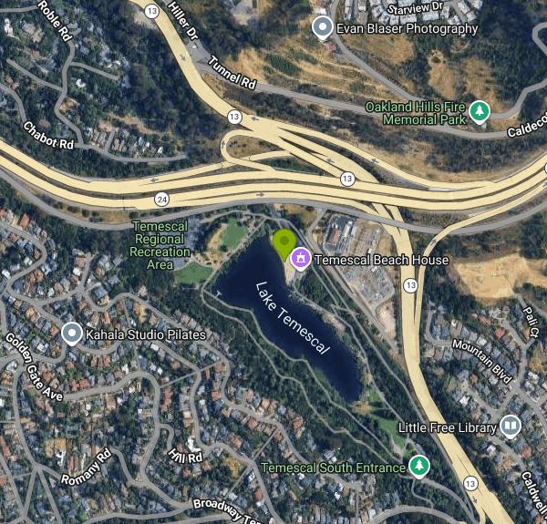
Parking is in two lots, one off Broadway Terrace at the north end by the beach and one at the south end off Highway 13, and there is a parking fee when the kiosk is staffed in season. The north lot fills early on hot weekends. Fishing is popular on the south end, where the district stocks trout in the cooler months and catfish in summer, and a California license is required for anyone sixteen and over. Dogs are welcome on the trails but not on the swim beach or the lawn.
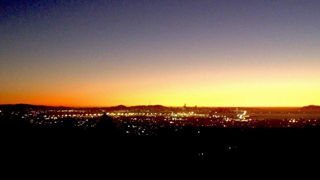
The setting is a curiosity in itself. The freeway is close enough that you hear it from the water, and the hillside above the south end burned in the 1991 Oakland hills firestorm, which is why the ridge across the lake looks younger than the mature grove around the beach. The sunsets over that burn scar look west across the bay toward San Francisco and the Golden Gate, and the Rockridge shops and BART station are a mile downhill.
More Information
Anthony Chabot - Wikipedia
Anthony Chabot (/ʃəˈboʊ/; August 13, 1813 – January 6, 1888) was a nineteenth-century businessman and entrepreneur, notable for his contribution to developing hydraulic mining and for building water systems, especially in the Bay Area, so much that he became known as the "Water King".[1]
https://en.wikipedia.org/wiki/Anthony_ChabotEast Bay Regional Park District - Wikipedia
The East Bay Regional Park District (EBRPD) is a special district operating in Alameda County and Contra Costa County, California, within the East Bay area of the San Francisco Bay Area. It maintains and operates a system of regional parks which is the largest urban regional park district in the United States. The administrative office is located in Oakland.
https://en.wikipedia.org/wiki/East_Bay_Regional_Park_DistrictSwimming | East Bay Regional Park District
For more information about swimming lessons, junior lifeguards and other aquatic programs please visit the East Bay Lifeguards website.
https://www.ebparks.org/recreation/swimmingTemescal Regional Recreation Area | East Bay Regional Park District
Located next to the junction of highways 24 and 13 in Oakland, Temescal is a convenient urban oasis, popular for swimming, fishing, sunbathing, and picnicking.
https://www.ebparks.org/parks/temescalBe courteous, informed, and prepared. Read trailhead guidelines, stay on the trail, and don't feed the wildlife.
Read More
- Plan Ahead and Prepare
- Travel & camp on durable surfaces
- Dispose of waste properly
- Leave what you find
- Minimize campfire impacts
- Respect wildlife
- Be considerate of other visitors
Directions
From Oakland, California
- Head southwest on Broadway toward 14th St/
Frank H. Ogawa Plaza (0.1 mi) - Turn right onto 12th St (0.4 mi)
- Turn right onto Castro St (46 ft)
- Turn left to merge onto I-980 E toward CA-24 E (0.9 mi)
- Continue straight onto CA-24 E (2.6 mi)
- Take exit 4 for Broadway toward CA-13 N/
Berkeley/ California College of the Arts (0.1 mi) - Merge onto Keith Ave (171 ft)
- Turn left onto Broadway (276 ft)
- Turn right to stay on Broadway (0.2 mi)
- Slight right to stay on Broadway (0.7 mi)
- Turn rightDestination will be on the right(400 ft)
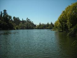
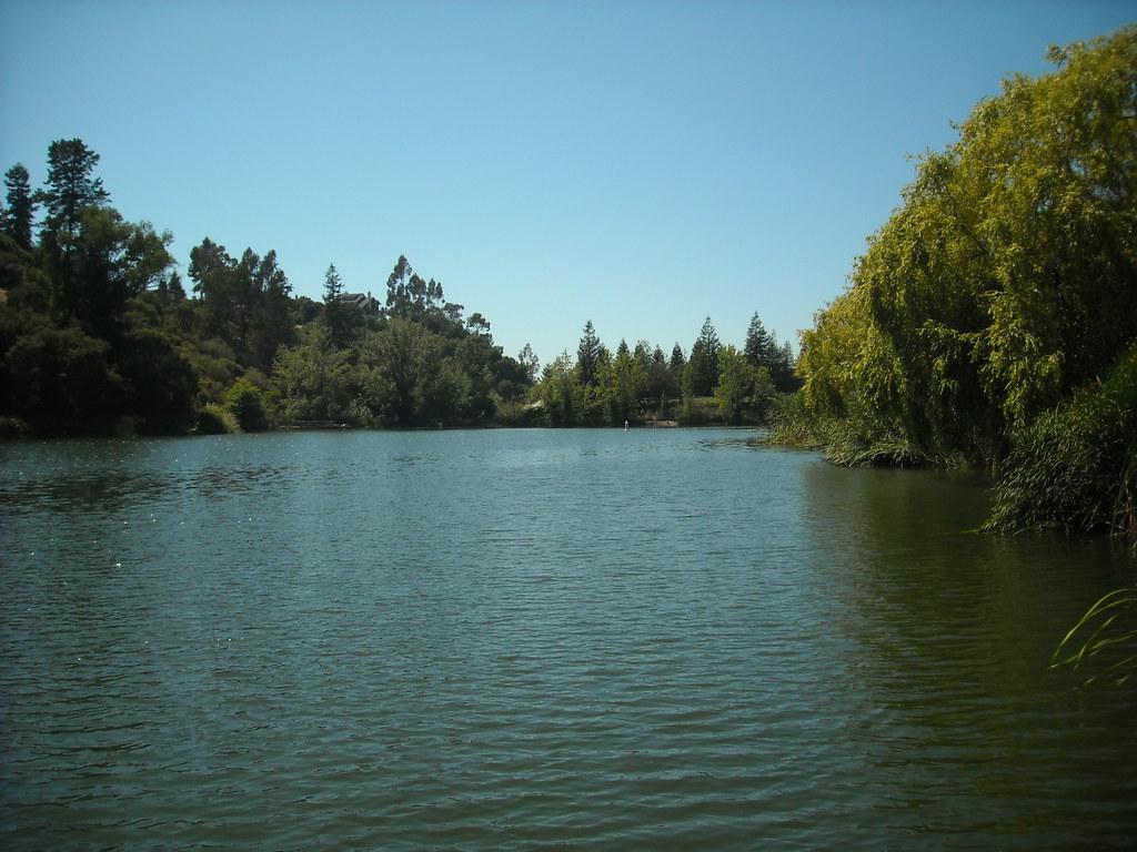
 Lake Temescal and its wooded shoreline courtesy of jdnx↗ (CC BY 2.0↗)
 A vintage postcard view of the beach house, diving platform and swimmers at Lake Temescal courtesy of Tichnor Brothers, Publisher↗ (Public domain↗)
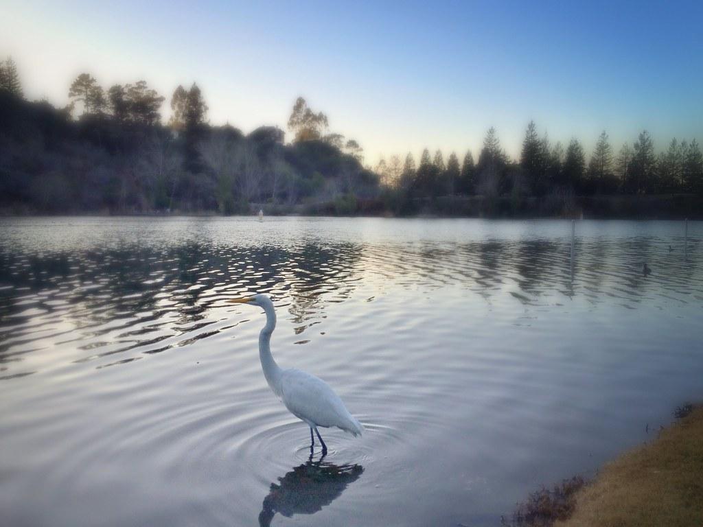
 An egret wading the shallows on a misty morning at the lake courtesy of Sharon Hahn Darlin↗ (CC BY 2.0↗)
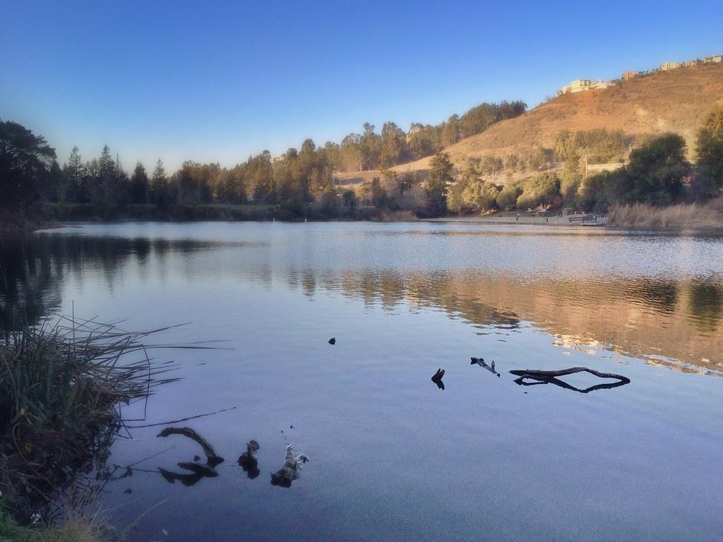
 The lake with the hillside rising behind it courtesy of Sharon Hahn Darlin↗ (CC BY 2.0↗)
 Sunset over San Francisco Bay from the hills above the south end of the lake courtesy of Bill Abbott↗ (CC BY-SA 2.0↗)
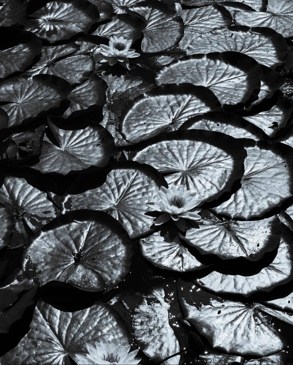
 Lily pads on the lake in black and white courtesy of ~jar{} from Berkeley, CA↗ (CC BY 2.0↗)
Other Swimming Holes and Hiking Trails Nearby
Grizzly Peak Trail
Berkeley, California
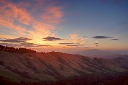
2.5 miles NA trail through the Berkeley Hills with sweeping San Francisco Bay views at the peak — great for runners, dog walkers, and out-of-town guests on a clear day.
Hike, Mountain Bike 3.8 mi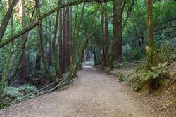
East Ridge Trail
Oakland, California
5.7 miles SEA wide, gentle ridge trail weaving through Oakland's redwood-covered hills to a waterfall — accessible all year with ladder bug clusters in the trees each winter.
Hike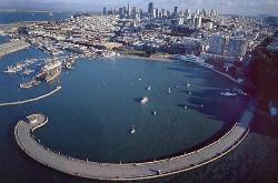
Aquatic Park
San Francisco, California
10.9 miles WA historic San Francisco Bay swimming lagoon in the Golden Gate National Recreation Area — the water is cold and not always pristine, but devoted year-round swimmers and two open clubs keep the tradition alive.
Swim 0.1-0.6 mi
Mt. Sutro Open Space Reserve
San Francisco, California
13.8 miles SWA 61-acre ecological oasis on a 900-foot San Francisco hill with a historic century-old eucalyptus forest, rare native plants, and a native plant garden and demonstration area at the summit.
Hike, Mountain Bike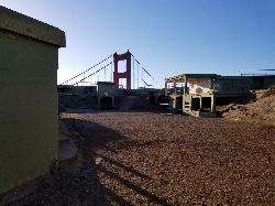
Battery Spencer
Mill Valley, California
13.9 miles WA short 0.2-mile hike to a century-old Civil War battery with 12-inch rifled guns — now one of the best vantage points anywhere for viewing the Golden Gate Bridge.
Hike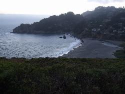
Muir Beach
Muir Beach, California
18.9 miles WA hidden gem beach north of San Francisco with a 0.2-mile walk to the shore, informational placards for kids, sunset views over the Pacific, and access to the Coastal Trail.
Hike, Swim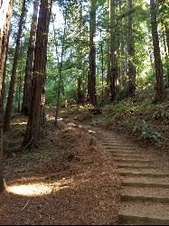
Muir Woods National Monument
Mill Valley, California
19.2 miles WA national monument with several suggested hikes from the visitors center, including a 2-mile loop leaving the boardwalk into the towering old-growth redwoods, plus guided tours and programs.
Hike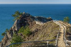
Muir Beach Overlook
Muir Beach, California
19.4 miles WThe Muir Beach Overlook is a cliff-top Marin Headlands promontory with sweeping Pacific views, WWII fire-control bunkers, and prime gray-whale watching.
Hike
Quarry Lakes Regional Recreation Area (Niles Beach)
Fremont, California
22.3 miles SELifeguarded sand beach on Horseshoe Lake at Quarry Lakes Regional Recreation Area in Fremont, a 471-acre East Bay park of former gravel pits turned swimming and fishing lakes.
Hike, Kayak, Mountain Bike, Swim 4.0 mi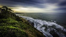
Palomarin Trail
Bolinas, California
28.8 miles WA 5-mile northern Marin coastal hike past ocean overlooks, varying terrain, and forested paths to the stunning Alamere Falls — with an optional Bass Lake swim on the return.
Hike
Half Moon Bay State Beach
Half Moon Bay, California
28.9 miles SWA historic railroad corridor trail along the Half Moon Bay Pacific Coast with sweeping ocean views, access to multiple beaches, red-tailed hawks, herons, and a distant view of the famous Mavericks surf break.
Camp, Hike, Horseback, Swim 0.1 mi
Bass Lake
Bolinas, California
30.0 miles WBass Lake is a beloved hike-in swimming hole in Point Reyes National Seashore, tucked into the coastal hills above the Pacific near Bolinas, California. A small, tree-rimmed freshwater lake reached...
Hike, Swim
Pescadero Creek Trail Area
Loma Mar, California
39.8 miles SShady interconnected trails weave through redwoods, ridges, and rolling valleys linking four parks in the Santa Cruz Mountains — a cool escape just an hour from the Bay Area.
Hike, Horseback, Mountain Bike, Swim
Memorial Park
Loma Mar, California
39.8 miles SSwim near Loma Mar, California
Swim


