


Muir Beach
Muir Beach, California
| Address: | Muir Beach, CA, USA |
| GPS: |
37°51'40.5"N 122°34'32.2"W Maps | Directions |
| State: | California |
Restrooms Picnic Tables
Hike and Swim
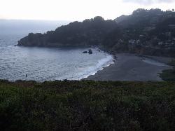
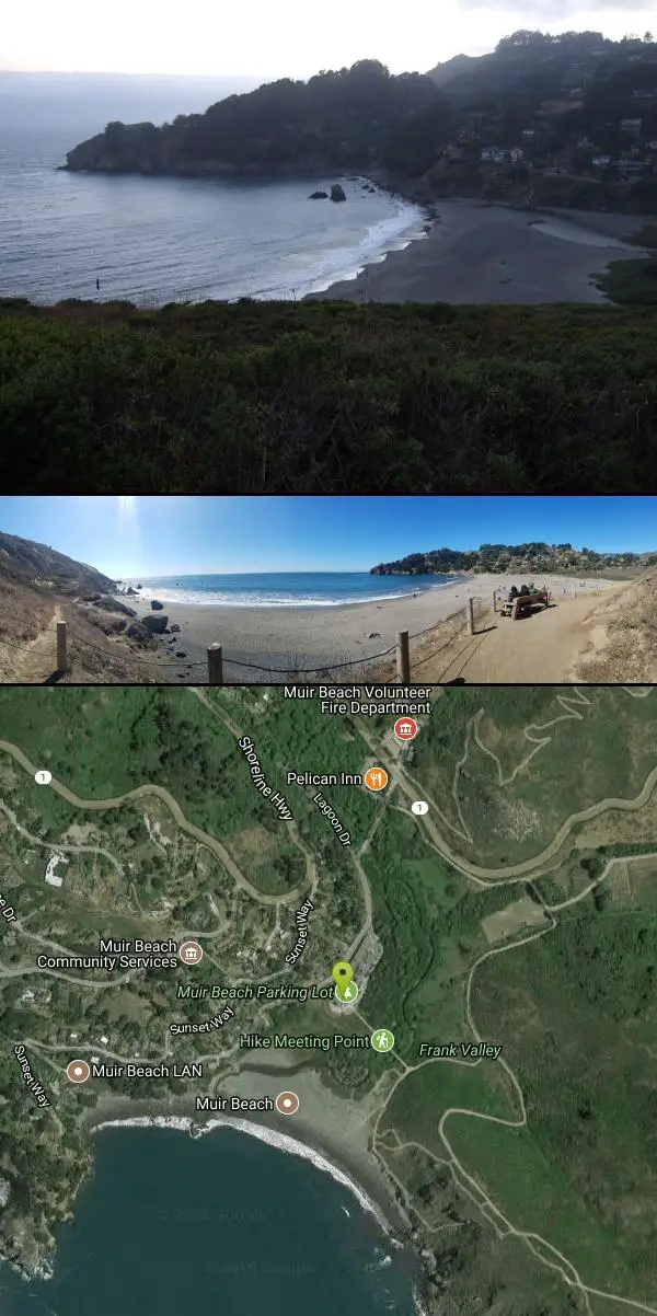
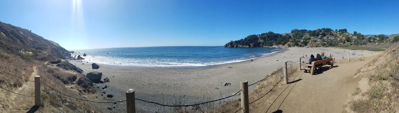
Muir Beach is a little gem nestled away in the hills North of San Francisco, not far from the Muir Woods National Monument. There's a great beach and an entire network of trails. To get to the beach is a delightful 0.2 miles along a bridge and sandy pathway. You'll find plenty of informational placards along the way, great for kids, or even the mildly curious adult.
Once you're here, you can sit and enjoy the beach, get started on the Coastal Trail, explore along the cliffside trails to the south, or simply enjoy a picnic at the tables near the parking lot while you take in the beautiful sunset over the Pacific.
More Information
::::: Muir Beach California :::::
A site For and About The Community of Muir Beach California
http://www.muirbeach.com/Muir Beach | Golden Gate National Parks Conservancy
Just a few miles from Muir Woods, Muir Beach is a lovely haven with a restored lagoon. Redwood Creek, home to a rich variety of shorebirds, salmon, and trout, empties here. The beach lies in a quiet and dramatic cove with its own sheltered picnic area.
https://www.parksconservancy.org/parks/muir-beachBe courteous, informed, and prepared. Read trailhead guidelines, stay on the trail, and don't feed the wildlife.
Read More
- Plan Ahead and Prepare
- Travel & camp on durable surfaces
- Dispose of waste properly
- Leave what you find
- Minimize campfire impacts
- Respect wildlife
- Be considerate of other visitors
Directions
From Muir Beach, California
- Head southeast on Seacape Dr toward Ahab Dr (0.3 mi)
- Turn right onto CA-1 S (0.6 mi)
- Turn right onto Pacific Way (0.2 mi)
- Continue straight (0.1 mi)


Other Swimming Holes and Hiking Trails Nearby
Muir Beach Overlook
Muir Beach, California
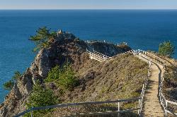
0.6 miles WThe Muir Beach Overlook is a cliff-top Marin Headlands promontory with sweeping Pacific views, WWII fire-control bunkers, and prime gray-whale watching.
Hike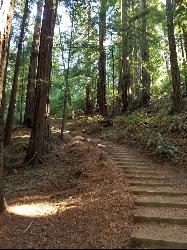
Muir Woods National Monument
Mill Valley, California
2.4 miles NA national monument with several suggested hikes from the visitors center, including a 2-mile loop leaving the boardwalk into the towering old-growth redwoods, plus guided tours and programs.
Hike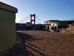
Battery Spencer
Mill Valley, California
5.5 miles SEA short 0.2-mile hike to a century-old Civil War battery with 12-inch rifled guns — now one of the best vantage points anywhere for viewing the Golden Gate Bridge.
Hike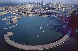
Aquatic Park
San Francisco, California
9.1 miles SEA historic San Francisco Bay swimming lagoon in the Golden Gate National Recreation Area — the water is cold and not always pristine, but devoted year-round swimmers and two open clubs keep the tradition alive.
Swim 0.1-0.6 mi
Mt. Sutro Open Space Reserve
San Francisco, California
9.6 miles SEA 61-acre ecological oasis on a 900-foot San Francisco hill with a historic century-old eucalyptus forest, rare native plants, and a native plant garden and demonstration area at the summit.
Hike, Mountain Bike 4.0 mi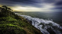
Palomarin Trail
Bolinas, California
10.6 miles NWA 5-mile northern Marin coastal hike past ocean overlooks, varying terrain, and forested paths to the stunning Alamere Falls — with an optional Bass Lake swim on the return.
Hike 0.1 mi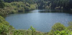
Bass Lake
Bolinas, California
12.1 miles NWBass Lake is a beloved hike-in swimming hole in Point Reyes National Seashore, tucked into the coastal hills above the Pacific near Bolinas, California. A small, tree-rimmed freshwater lake reached...
Hike, Swim 0.5-0.6 mi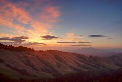
Grizzly Peak Trail
Berkeley, California
18.5 miles EA trail through the Berkeley Hills with sweeping San Francisco Bay views at the peak — great for runners, dog walkers, and out-of-town guests on a clear day.
Hike, Mountain Bike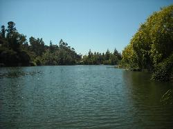
Temescal Regional Recreation Area
Oakland, California
18.9 miles EGuarded swim beach on a ten acre lake in the Oakland hills, one of the three original East Bay Regional Parks, tucked between Highway 24 and the Caldecott Tunnel approach.
Hike, Swim 3.8 mi
East Ridge Trail
Oakland, California
23.9 miles EA wide, gentle ridge trail weaving through Oakland's redwood-covered hills to a waterfall — accessible all year with ladder bug clusters in the trees each winter.
Hike
Half Moon Bay State Beach
Half Moon Bay, California
28.1 miles SA historic railroad corridor trail along the Half Moon Bay Pacific Coast with sweeping ocean views, access to multiple beaches, red-tailed hawks, herons, and a distant view of the famous Mavericks surf break.
Camp, Hike, Horseback, Swim
Cull Canyon Swim Complex
Castro Valley
30.3 miles EA fenced, lifeguarded 1.5-acre chlorinated swim lagoon with a sand beach in Cull Canyon Regional Recreation Area, Castro Valley. Seasonal, with a $5 adult fee and early capacity limits on weekends.
Hike, Swim
Quarry Lakes Regional Recreation Area (Niles Beach)
Fremont, California
36.8 miles SELifeguarded sand beach on Horseshoe Lake at Quarry Lakes Regional Recreation Area in Fremont, a 471-acre East Bay park of former gravel pits turned swimming and fishing lakes.
Hike, Kayak, Mountain Bike, Swim
Memorial Park
Loma Mar, California
43.5 miles SSwim near Loma Mar, California
Swim
Pescadero Creek Trail Area
Loma Mar, California
43.5 miles SShady interconnected trails weave through redwoods, ridges, and rolling valleys linking four parks in the Santa Cruz Mountains — a cool escape just an hour from the Bay Area.
Hike, Horseback, Mountain Bike, Swim
Steelhead Beach Regional Park
Forestville
47.5 miles NSteelhead Beach Regional Park is a Sonoma County Regional Parks day use park on the Russian River north of Forestville, with a gravel bar beach, a year round canoe and kayak put-in, and nearly a mile of trails through riparian woods. There is no lifeguard
Canoe, Hike, Kayak, Swim
Monte Rio Beach
Monte Rio
48.0 miles NWFree public gravel beach on the Russian River just east of the Monte Rio Bridge, run by the Monte Rio Recreation and Park District. No lifeguards; loaner life vests on site and summer-only lower parking lot.
Canoe, Kayak, Swim 0.2 mi
Sunset Beach River Park
Forestville, California
48.4 miles NWA classic Russian River swimming hole with a pebble beach, shallow and deep sections, Redwood Forest views, paddle boarding, fishing, and picnicking — quieter on weekdays, popular on weekends.
Kayak, Swim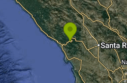
Patterson Point Preserve
Villa Grande
49.0 miles NWA free, two-acre nonprofit preserve with two small beaches on the Russian River at Villa Grande near Monte Rio, open for daytime swimming with no lifeguards. Check posted algae and bacteria signs first.
Canoe, Kayak, Swim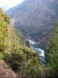
Willow Creek Environmental Campground
Duncans Mills, California
49.2 miles NWA sandy-banked riverside campground on the Russian River near the California coast — cool and breezy even in summer, with kayak and tube launch access and a mix of shallow and deep swimming spots.
Hike, Kayak, Swim


