


South Mountain National Trail
Phoenix, Arizona
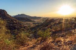
| Address: | ~Desert Classic Trail, Phoenix, AZ 85042, USA |
| GPS: |
33°21'46.1"N 111°59'8.8"W Maps | Directions |
| State: | Arizona |
| Trail Length: | 8.70 miles |
| Elevation Gain: | 1125.00 feet |
| Hike Difficulty: | Advanced |
| Trail Type: | Out & Back |
Pet Friendly
Hike and Mountain Bike
The National Trail is the backbone of South Mountain Park and Preserve, one of the largest municipal parks in the United States at roughly 16,000 acres on the southern edge of Phoenix. Running about 14 to 15 miles across the entire range from east to west, it rides the crest of the mountains and links up with most of the park's other trails, making it the classic long traverse of this vast desert playground on the city's doorstep.
From the Pima Canyon trailhead on the east side, hikers pick up the National Trail and follow it as it skirts the ridges past a string of landmarks: Hidden Valley, with its natural rock tunnel and the squeeze of Fat Man's Pass; the Buena Vista Lookout; the curious dry-stacked Chinese Wall; Telegraph Pass; and Goat Hill, before the long descent to the San Juan Lookout at the west end. Along the way are ancient Hohokam petroglyphs, abandoned mine workings and interesting rock formations, with sweeping views over the Phoenix valley the whole distance.
It is a rugged, rocky trail with steady ups and downs rather than one big climb, and most of the foot and bike traffic stays on the more accessible eastern half. This is exposed Sonoran Desert with essentially no water and little shade, so it is a cool-season route: summer heat here is dangerous and regularly deadly for the unprepared, making fall through spring the season and an early start essential. For hikers, trail runners and mountain bikers, the National Trail is the ultimate way to experience the wild heart of South Mountain.
More Information
Sonoran Desert - Wikipedia
The Sonoran Desert (Spanish: Desierto de Sonora) is a hot desert and ecoregion in North America that covers parts of the northwestern Mexican states of Sonora, Baja California, and Baja California Sur, as well as part of the Southwestern United States (in Arizona and California). It has an area of 260,000 square kilometers (100,000 sq mi).
https://en.wikipedia.org/wiki/Sonoran_DesertSouth Mountain Park - Wikipedia
South Mountain Park in Phoenix, Arizona, is the largest municipal park in the United States,[1] and one of the largest urban parks in North America and in the world. It has been designated as a Phoenix Point of Pride.[2]
https://en.wikipedia.org/wiki/South_Mountain_ParkSouth Mountains (Arizona) - Wikipedia
The South Mountains (O'odham: Muhaḍagĭ Doʼag, Yavapai: Wi:ki'tiyeda,[1][failed verification] Maricopa: Vii Kwxas), known locally as simply South Mountain, is a mountain range in central Arizona in south Phoenix, Arizona. The majority of the range is public land managed by the City of Phoenix as South Mountain Park, but a small portion extends into the Gila River Indian Community.
https://en.wikipedia.org/wiki/South_Mountains_(Arizona)Never modify trail features. Ride trails when they're dry enough that you won't leave ruts. Speak up when you see others on the trail and always yield to hikers, horses, and others coming uphill. Always ride on the established trail.
Read MoreBe courteous, informed, and prepared. Read trailhead guidelines, stay on the trail, and don't feed the wildlife.
Read More
- Plan Ahead and Prepare
- Travel & camp on durable surfaces
- Dispose of waste properly
- Leave what you find
- Minimize campfire impacts
- Respect wildlife
- Be considerate of other visitors
Directions
From Phoenix, Arizona
- Head west on W Washington St toward 1st Ave (315 ft)
- Turn left onto S 1st Ave (397 ft)
- Turn left onto W Jefferson St (1.6 mi)
- Keep right to continue on E Jefferson St (0.5 mi)
- Turn right onto the ramp to Tucson (0.3 mi)
- Merge onto I-10 E (6.3 mi)
- Keep left at the fork to stay on I-10 E (2.9 mi)
- Take exit 157 for Elliot Rd (0.4 mi)
- Turn right onto E Elliot Rd (0.4 mi)
- Turn right onto S 48th St (1.1 mi)
- Turn left to stay on S 48th St (312 ft)
- Turn left onto E Pima Canyon Rd (0.6 mi)
- Turn left (364 ft)
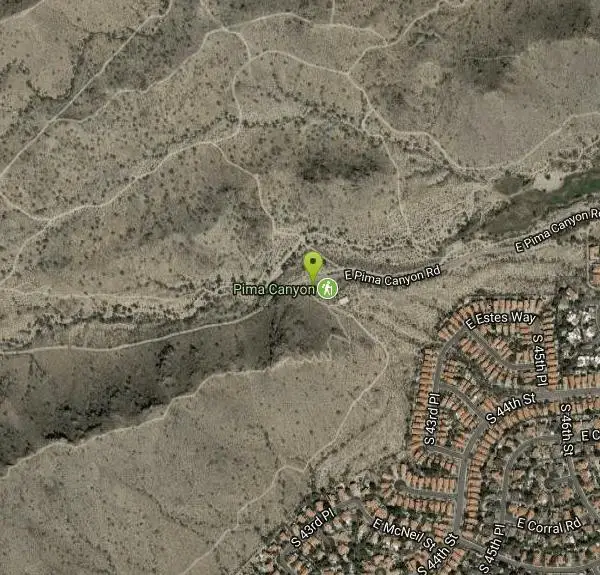 The National Trail across South Mountain Park courtesy of Domenico Convertini from Zurich, Schweiz↗ (CC BY-SA 2.0↗)
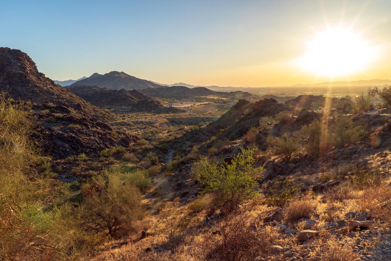
 Ridgeline desert on South Mountain courtesy of Domenico Convertini from Zurich, Schweiz↗ (CC BY-SA 2.0↗)
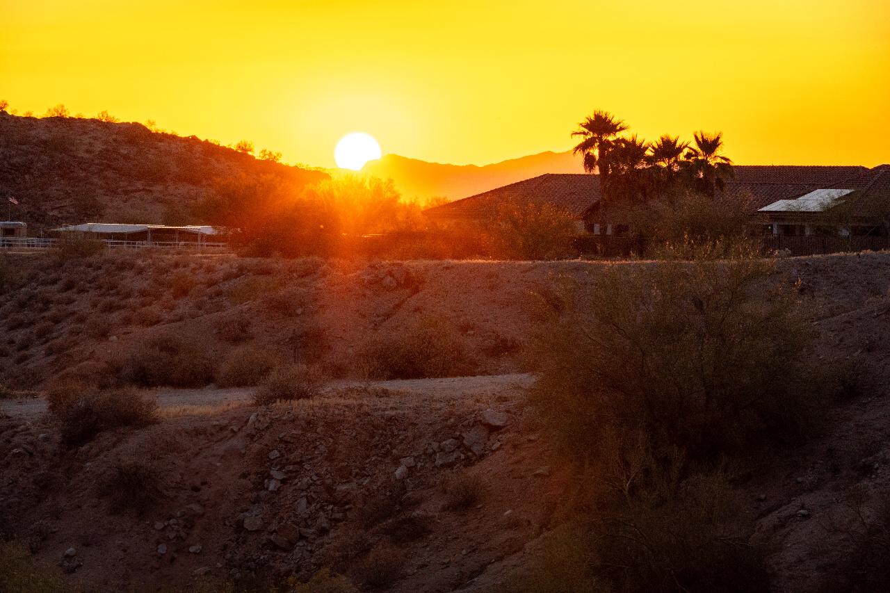
 Sonoran Desert views from the trail courtesy of Domenico Convertini from Zurich, Schweiz↗ (CC BY-SA 2.0↗)
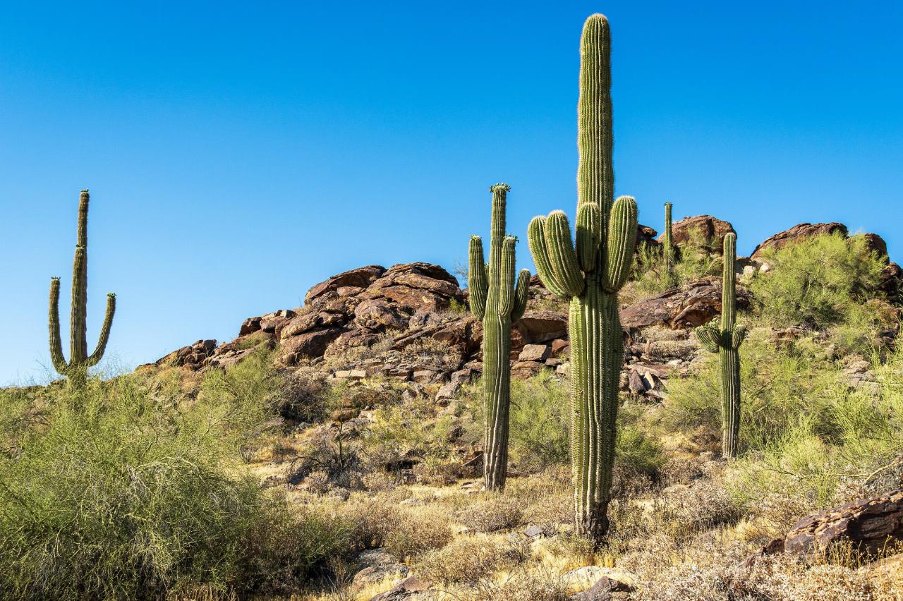
 Rock formations along the National Trail courtesy of Domenico Convertini from Zurich, Schweiz↗ (CC BY-SA 2.0↗)
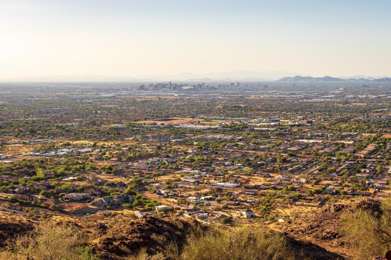
 South Mountain above the Phoenix valley courtesy of NWSPhoenix↗ (CC BY-SA 4.0↗)
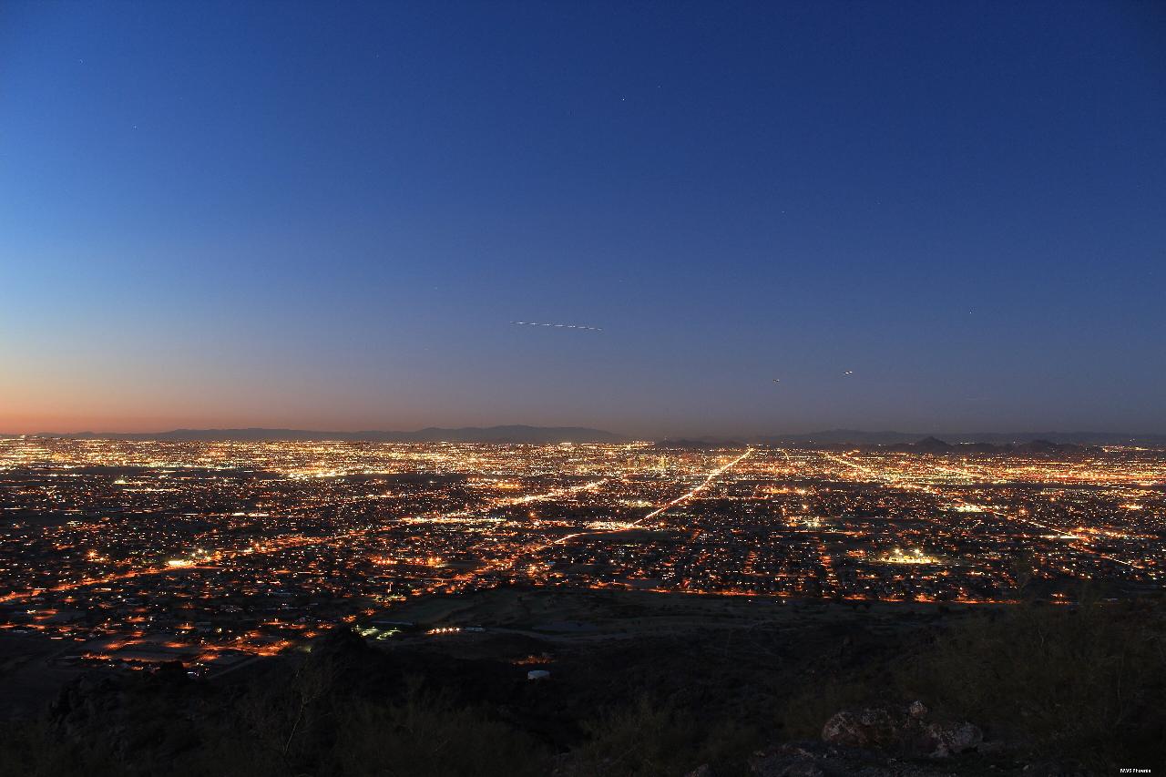 The summit broadcast towers of South Mountain courtesy of Garrett Wollman↗ (CC BY-SA 3.0↗)
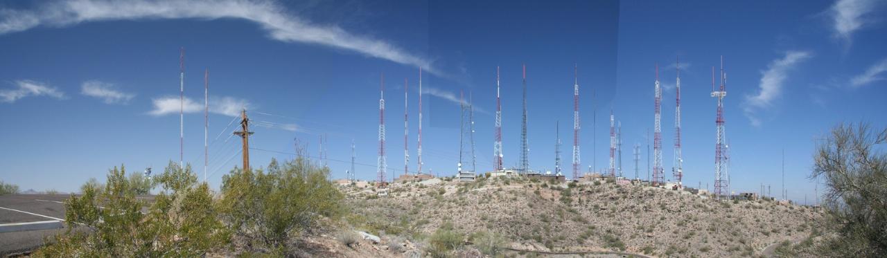
Other Mountain Bike Trails and Hiking Trails Nearby
Desert Classic - Goat Trail
Phoenix, Arizona
0.0 miles NEHike and Mountain Bike near Phoenix, Arizona
Hike, Mountain Bike
National to Hidden Valley to Mormon Loop
Phoenix, Arizona
0.0 miles NWHike near Phoenix, Arizona
Hike
Pima Wash Trail to West Loop
Phoenix, Arizona
0.0 miles NWHike near Phoenix, Arizona
Hike 1.5 mi
Desert Classic
Phoenix, Arizona
0.0 miles NA classic 9-mile out-and-back (or 9-mile shuttle) on hardpacked sand, sandy washes, and small chunky rocks through South Mountain Park — the most accessible ride in the park.
Hike, Mountain Bike
South Mountain Trails (Desert Classic Trail)
Phoenix, Arizona
0.0 miles NWHike and Mountain Bike near Phoenix, Arizona
Hike, Mountain Bike 2.1 mi
Marcos de Niza & Pima
Phoenix, Arizona
0.0 miles WA hidden gem in South Mountain Park — attack the ridgeline on the Marcos de Niza trail, connect to the National Trail fire road, and jog home for a killer loop.
Hike 1.8 mi
Javelina-Beverly Canyon Loop Trail
Phoenix, Arizona
0.8 miles NA scenic, less-crowded mountain bike trail through beautiful hills and valleys that feels surprisingly remote, with fun singletrack options connecting to Bevery Canyon.
Hike, Horseback, Mountain Bike 1.9 mi
Javelina Trail
Phoenix, Arizona
0.8 miles NA fast and fun descent on Javelina Trail at South Mountain — a great warm-up climb and crowd-free alternative to the busier Pima Canyon trail.
Hike, Horseback, Mountain Bike
Old Man Trail
Phoenix, Arizona
2.3 miles SWA city-maintained trail in Phoenix's South Mountain Park open until 11 p.m. — entrance gates close at 7 p.m. but the trail itself stays accessible into the evening.
Hike 2.3 mi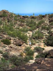
Hidden Valley Trail Via Mormon Trail
Phoenix, Arizona
2.6 miles WA 2–4 mile hike through Phoenix's South Mountain featuring Fatman's Pass, a natural rock tunnel, petroglyphs, dry waterfalls, and sweeping desert views.
Hike, Mountain Bike
Corona Loop
Phoenix, Arizona
2.8 miles SWA Phoenix desert hike with nice trails that are mostly unmarked — bring a map or GPS, plenty of water, and expect a washed-out path after heavy rain.
Hike
Corona de Loma Trail
Phoenix, Arizona
3.2 miles SWA quick trail climb to Buena Vista Lookout in Phoenix with great views of the east valley — a short, rewarding hike on the Corona de Loma Trail.
Hike 2.5 mi
Hidden Valley from Buena Vista Trail
Phoenix, Arizona
3.6 miles WSurprisingly quiet and natural for a trail right on Phoenix's southern border, Hidden Valley winds through granite boulders, saguaro cacti, and sandy washes with lizards and the occasional chuckwalla.
Hike, Mountain Bike
Holbert-Hidden Valley-Mormon Trail Shuttle
Phoenix, Arizona
4.9 miles WA 6.5-mile intermediate shuttle hike on South Mountain from ancient petroglyphs and a Hidden Valley rock playground to panoramic canyon and city views at Promontory Point.
Hike, Mountain Bike 2.5 mi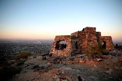
Holbert Trail to Dobbins Lookout
Phoenix, Arizona
4.9 miles WSouth Mountain's Holbert Trail climbs challenging switchbacks to Dobbins Lookout, delivering sweeping city and TV-tower views from the rooftop of Phoenix's urban mountain park.
Hike
Max Delta
Phoenix, Arizona
5.2 miles WA 2.7-mile beginner trail near South Mountain Preserve with mine foundations, a standing brick fireplace, and Phoenix Valley views — remnants of a gold mine active in the early 1900s.
Hike
Hayden Butte And Tempe Town Lake Trail
Tempe, Arizona
5.2 miles NEHayden Butte, better known to generations of locals as "A" Mountain for the giant gold letter "A" near its top, is the landmark volcanic butte rising right in the heart of downtown Tempe beside...
Hike
'A' Mountain at Hayden Butte
Tempe, Arizona
5.2 miles NEA short, slightly steep hike through Arizona State University's backyard with Hohokam petroglyphs and panoramic views of downtown Tempe at the top — a quick urban escape.
Hike 0.8-1.1 mi
Kiwanis Trail to Telegraph Pass Lookout
Phoenix, Arizona
5.4 miles WA short, beginner-friendly hike in South Mountain near Phoenix winding through a small canyon to Telegraph Pass — best enjoyed at sunrise or just before sunset for near-constant shade.
Hike, Mountain Bike 3.1 mi
Goat Hill via Telegraph Pass Trail
Phoenix, Arizona
5.6 miles SWGoat Hill via the Telegraph Pass Trail is a rocky South Mountain Park climb to a sweeping 360-degree view over Phoenix.
HikeNearby Campsites

Buckhorn Campground Nature Trail
Apache Junction, Arizona
22.4 miles ECamp and Hike near Apache Junction, Arizona
Camp, Hike 2.1 mi
Lower Salt River Nature Trail
Fort McDowell, Arizona
22.6 miles NEA 2-mile beginner loop alongside the Salt River in Tonto National Forest, with worn markers that keep things adventurous — watch for wild horses and spring cactus blooms.
Camp, Hike


