


93 Things to do near Specimen Ridge Day Hike and Fossil Forrest Trail
first prev 1 2 3 4 5 next lastShowing results within 50 miles Distance miles of Specimen Ridge Day Hike and Fossil Forrest Trail near Buffalo Ford, Wyoming City, Zip, or Address
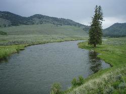
Slough Creek Trail
Tower Junction, Yellowstone National Park
2.4 miles NEAn easy 3.4-mile historic wagon trail follows Slough Creek through sweeping meadows in Yellowstone — a peaceful summer and fall walk with beautiful open views.
Hike
Slough Creek Campground
Tower Junction, Yellowstone National Park
2.8 miles NA small, popular Yellowstone campground right on Slough Creek where wolf packs are frequently spotted — sites fill fast, so arrive early.
Camp 16.9 mi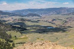
Specimen Ridge Trail (2K4)
Buffalo Ford, Wyoming
2.9 miles WA challenging 17-mile remote hike ascending 3,000 feet to Amethyst Mountain and descending into Lamar Valley — ending at a river ford that may require turning around if uncrossable.
Hike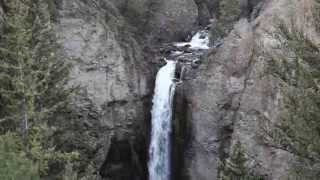
Tower Falls
Tower Junction, Yellowstone National Park
3.2 miles SWTower Fall plunges 132 feet off Tower Creek in Yellowstone, framed by dramatic rock pinnacles — located about 3 miles south of Roosevelt Junction.
Camp, Hike 0.3 mi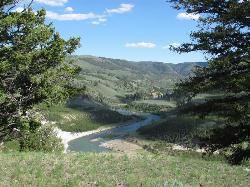
Yellowstone River Picnic Area Trail
Tower Junction, Yellowstone National Park
3.6 miles WA 3.9-mile loop trail from a Yellowstone picnic area along the canyon rim of the Yellowstone River — steam vents, wildlife sightings in meadows, and canyon erosion views throughout.
Hike 7.3 mi
Agate Creek Trail
Tower Junction, Wyoming
3.6 miles WA moderately difficult 7.3-mile hike along Yellowstone River with colorful cliff overlooks, the Narrows, and a primitive riverside campground at trail's end.
Hike 8.2 mi
Garnet Hill Trail
Tower Junction, Yellowstone National Park
4.2 miles WA 7.6-mile loop through Yellowstone meadows, sagebrush, and riverside forest with exceptional wildlife — wolves, bears, bison, moose, elk, and badgers all roam this area.
Hike 2.4 mi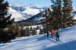
Lost Lake Trail
Tower Junction, Yellowstone National Park
4.5 miles WAn easy 2.8-mile loop behind Roosevelt Lodge, winding through forest, meadows, and along the shores of Lost Lake — open year-round and finishable in under two hours.
Hike
Hellroaring Creek Trail
Yellowstone National Park
5.9 miles NWA suspension bridge over the Yellowstone River leads to sandy creek-side beaches and a mild backcountry trail past Yellowstone's largest granite slab — great for all ages.
Camp, Hike, Swim 2.8 mi
Mount Washburn Bike Trail
Devils Den, Wyoming
8.3 miles SWA steep 2.5-mile gravel service road climb to the top of Mount Washburn with 1,500 feet of elevation gain and sweeping Yellowstone views — watch for service vehicles and carry bear spray.
Mountain Bike 4.4 mi
Chittenden Road - Mount Washburn Trail
Canyon Village, Yellowstone National Park
9.4 miles SWA steady, well-packed 5.8-mile out-and-back on the former Chittenden service road to Mount Washburn's summit, with bighorn sheep, wildflowers, and sweeping Yellowstone views at the top.
Hike 16.3 mi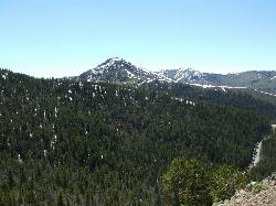
Mount Washburn Spur Trail
Canyon Village, Yellowstone National Park
9.5 miles SWAn 8-mile descent from the peak of Mount Washburn through bighorn sheep country, wildflower meadows, and forests to Canyon Village — with sweeping Grand Canyon of Yellowstone views from the top.
Hike 0.6-1.5 mi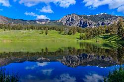
Trout Lake and Buck Lake
Tower Junction, Yellowstone National Park
10.1 miles EA steep half-mile through Douglas fir forest opens to beautiful views every direction — Mount Hornaday behind the lake, spring waterfalls from snowmelt, and cutthroat trout thick enough to give the lake its name.
Hike
Pebble Creek Campground
Northeast Entrance, Yellowstone National Park
10.5 miles EA quiet campground tucked in Yellowstone's far northeast corner near Trout Lake and world-class Lamar and Soda Butte trout rivers — arrive before 11 a.m. to secure a spot.
Camp 3.4 mi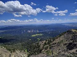
Dunraven Pass - Mount Washburn Trail
Canyon Village, Yellowstone National Park
10.7 miles SWA 6-mile Yellowstone hike via Dunraven Pass through quiet forests to the summit of Mount Washburn — a panoramic perch with bighorn sheep in summer and grizzlies near pine nuts in fall.
Hike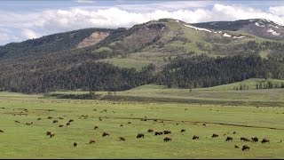
Forces of the Northern Range
Mammoth, Yellowstone National Park
12.1 miles WA half-mile boardwalk on Yellowstone's Blacktail Deer Plateau with mountain peak displays, a wildlife primer, and a view-packed introduction to the Northern Range's forces of nature.
Hike 7.4 mi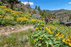
Blacktail Deer Creek to Yellowstone River Trail
Mammoth Hot Springs, Yellowstone National Park
13.4 miles WA 7-mile out-and-back trail dropping through green fields and boulder formations to waterfall views along the Yellowstone River, with a suspension bridge connecting onward trails.
Hike 7.6 mi
Observation Peak Trail
Canyon Village, Yellowstone National Park
13.5 miles SWA nearly 10-mile Yellowstone hike that eases through meadows and past beautiful Cascade Lake before a strenuous 1,400-foot climb to a spectacular panoramic peak.
Hike 2.4 mi
Cascade Lake Trail
Canyon Village, Yellowstone National Park
13.5 miles SWAn easy, well-marked 4.5-mile out-and-back hike through meadows and forest to Cascade Lake near Canyon Village, with wildflowers in summer and frequent wildlife sightings year-round.
Hike 9.0 mi
Seven Mile Hole Trail
Canyon Village, Yellowstone National Park
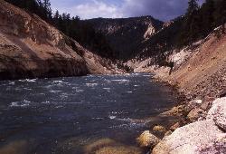
14.5 miles SWA challenging 10-mile hike along the Grand Canyon of Yellowstone rim, then a 1,000-foot descent into the canyon for up-close Yellowstone River views and active hot spring sightings.
Hike


