


Town Beach at Silver Lake
Wilmington
Swim
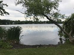
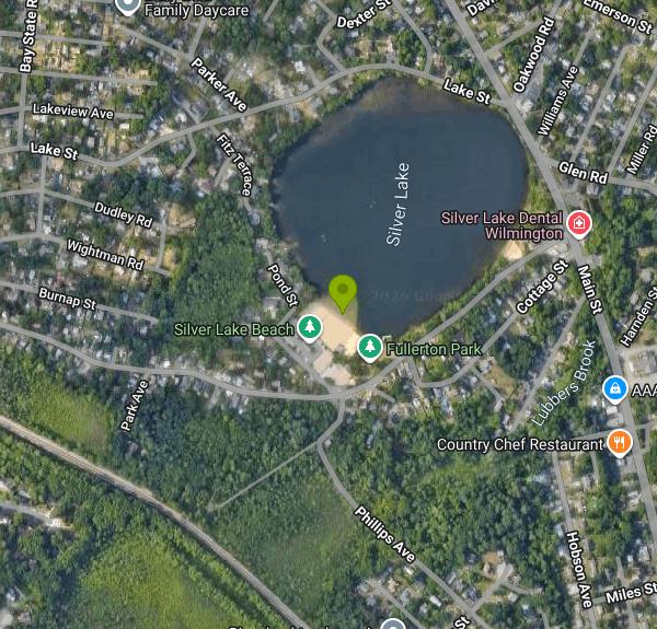
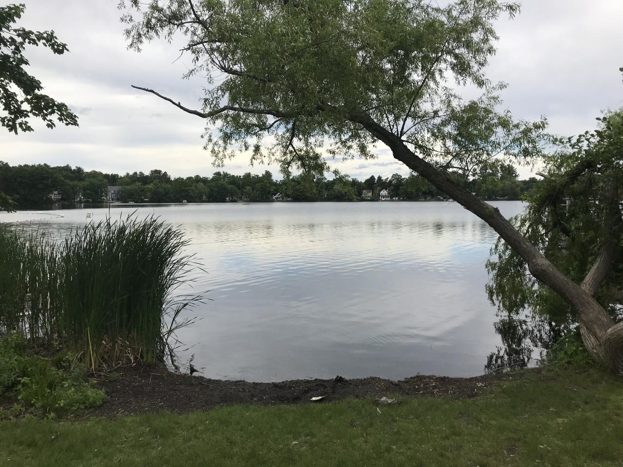
Town Beach at Silver Lake is the municipal swimming beach of Wilmington, Massachusetts, run by the town's Recreation Department on the south shore of Silver Lake off Burnap Street. The lake is a glacial kettle pond of roughly 28 acres that was known as Sandy Pond before the Civil War, and it sits in the Silver Lake neighborhood near the Tewksbury line, about a mile and a half northwest of Wilmington's town center. In the late 1800s the Union Ice Company cut ice here and kept a large ice house on the spot where the beach is now.
The beach is on the Grove Avenue side of the lake, about a quarter mile in from Main Street (Route 38), with the entrance and town parking lot on Burnap Street. A second, smaller spot on Grove Avenue called Baby Beach is closer to Route 38, but the town closed it to the public after years of trouble with drinking and parking, so the Burnap Street beach is the only place on the lake set up for swimming.
Swimming happens inside a roped buoy area off a sandy beach, which the town itself describes as small. Lifeguards are on duty daily from 10 a.m. to 6 p.m. from mid-June to mid-August (June 13 to August 16 in 2026), and the bath house with restrooms is open only during those guarded hours. The guard staff keeps a ratio of 15 swimmers per lifeguard, so on hot weekends the water area can reach capacity and entry may be paused. Flotation devices, dogs, grills, alcohol and smoking are not allowed on the beach, and children under 14 need an adult with them. A floating beach wheelchair donated by SMILE Mass is kept at the beach.
Wilmington residents get in free with proof of residency, such as a Massachusetts license or RMV ID showing a Wilmington address. Everyone else pays a non-resident day pass of $10 per person for ages 3 and up, bought at the beach. The town has kept that fee in place because it covers part of the cost of the lifeguard staff. Call the Recreation Department at (978) 658-4270 with questions about passes or hours.
Water quality is the main thing to check before going. The Health Department samples the beach every Monday in season and posts results on Tuesday, and the beach closes when a single sample tops 235 E. coli per 100 ml or the five-sample geometric mean tops 126, or when a heavy algae bloom shows up. Silver Lake has tripped those limits several times, including three high readings in the 2021 season, so look at the town's posted results or call the Health Department before a trip in late summer. Outside the buoys and outside the guarded season there is no supervision at all. In August 2018 a man drowned here outside the swim area a few days after the lifeguards had finished for the summer, and the town's position is that anyone swimming beyond the buoy line or after the season does so at their own risk.
Next to the beach is a playground dedicated to Sean Collier, the MIT police officer from Wilmington, and Fullerton Park, a shaded green on Grove Avenue. The Recreation Department has held a shore-only fishing derby at the beach in early June, and the Wilmington Police Association has hosted a free beach day with a cookout here in August. In past summers the town also rented kayaks, canoes and paddleboards at the beach, so ask at the bath house whether rentals are running before counting on one.
More Information

- Plan Ahead and Prepare
- Travel & camp on durable surfaces
- Dispose of waste properly
- Leave what you find
- Minimize campfire impacts
- Respect wildlife
- Be considerate of other visitors
Directions
From Wilmington
- Head north on US-117 N/
College Rd toward Oleander Dr (4.2 mi) - Continue onto I-40 (64.9 mi)
- Take exit 355 toward Faison (0.4 mi)
- Merge onto NC-403 N/
Faison Hwy (0.1 mi) - Continue straight onto US-117 Connector (5.0 mi)
- Continue onto US-117 N/
W Trade Rd Continue to follow US-117 N(17.2 mi) - Keep left to stay on US-117 N (344 ft)
- Continue onto US-70 BUS W (0.8 mi)
- Continue onto I-795 N (21.5 mi)
- Merge onto I-587/
I-795 N (3.9 mi) - Take exit 18B to merge onto I-95 N toward Rocky MountEntering Virginia(141 mi)
- Keep left to stay on I-95 N (64.9 mi)
- Continue onto I-95 N (25.6 mi)
- Slight left to stay on I-95 N (signs for I-495 E/
Baltimore) (5.5 mi) - Continue straight onto I-495 E/
I-95 N (signs for Alexandria) Passing through District of ColumbiaEntering Maryland(4.0 mi) - Take the I-295 N exit toward Washington (1.0 mi)
- Continue onto I-295 NEntering District of Columbia(5.3 mi)
- Keep right to continue on State Hwy 295Entering Maryland(4.9 mi)
- Continue onto MD-201 (335 ft)
- Continue onto Baltimore-Washington Pkwy (18.7 mi)
- Continue onto MD-295 N/
Baltimore-Washington Pkwy (8.7 mi) - Take the Harbor Tunnel Thrwy/
I-895 N exit Toll road(0.2 mi) - Merge onto I-895 NToll road(10.4 mi)
- Merge onto I-95 NToll roadEntering Delaware(48.6 mi)
- Slight left to stay on I-95 NToll road(10.0 mi)
- Keep right to continue on I-295 NEntering New Jersey(6.4 mi)
- Keep left to continue on US-40 E/
NJ Turnpike, follow signs for Atlantic City (0.9 mi) - Continue onto NJ Tpke/
NJ Turnpike (1.6 mi) - Slight left to stay on NJ TpkeToll road(47.1 mi)
- Slight left to stay on NJ Tpke (signs for New Jersey Tpke)Toll road(2.2 mi)
- Continue onto I-95 N/
NJ Tpke Toll road(54.0 mi) - Keep left to stay on I-95 N, follow signs for I-80 W/
Lincoln Tunnel Toll road(6.5 mi) - Keep left to stay on I-95 N (5.4 mi)
- Exit onto US-46 E toward Palisades Park (2.8 mi)
- Take the I-95 N ramp to G Washington Bridge (0.2 mi)
- Slight right onto the ramp to US-9 N (0.1 mi)
- Continue onto I-95 Lower Level N/
U.S. 1 Lower Level N Toll roadEntering New York(1.5 mi) - Keep right to continue on Cross Bronx Expy/
I-95 Lower Level N/ Trans-Manhattan Expy/ U.S. 1 Lower Level N Parts of this road may be closed at certain times or days(0.8 mi) - Cross Bronx Expy/
I-95 Lower Level N/ Trans-Manhattan Expy/ U.S. 1 Lower Level N turns right and becomes I-95 N/ Cross Bronx Expy (0.1 mi) - Take exit 1C-D to merge onto I-87 N toward Albany (7.1 mi)
- Take exit 4 toward Cross Cnty Pkwy (453 ft)
- Merge onto Central Park Ave (0.1 mi)
- Slight right onto the Cross County Pkwy ramp (404 ft)
- Take the ramp to Hutchinson Pkwy (0.2 mi)
- Merge onto Cross County Pkwy (1.9 mi)
- Keep left to stay on Cross County Pkwy, follow signs for N Hutchinson Pkwy/
Merritt Pkwy (1.2 mi) - Merge onto Hutchinson Riv Pkwy N (6.4 mi)
- Keep left to stay on Hutchinson Riv Pkwy NEntering Connecticut(4.4 mi)
- Continue onto CT-15 N (63.1 mi)
- Slight right (1.1 mi)
- Merge onto CT-15 N (0.2 mi)
- Take the exit toward I-91 N (0.1 mi)
- Take the ramp onto I-91 N (16.9 mi)
- Take exit 29 on the left to merge onto CT-15 N/
US-5 N toward I-84 E/ E. Hartford/ Boston (0.8 mi) - Continue onto CT-15 N (0.7 mi)
- Take the exit onto I-84 E toward Boston (2.4 mi)
- Keep left to stay on I-84 E, follow signs for BostonToll roadEntering Massachusetts(39.1 mi)
- Take the exit onto I-90 E toward Boston/
N.H. - Maine Toll road(44.4 mi) - Take exit 123 toward I-95/
Portsmouth/ Providence Toll road(0.6 mi) - Take the ramp onto I-95 NParts of this road may be closed at certain times or days(14.9 mi)
- Take exit 53 for MA-38 toward Woburn/
Wilmington (0.1 mi) - At the traffic circle, take the 5th exit onto MA-38 N/
Main St (5.3 mi) - Turn left onto Grove Ave (0.3 mi)
- Turn right onto Burnap St (240 ft)
- Turn rightDestination will be on the right(200 ft)


Other Swimming Holes Nearby
Shannon Beach
Winchester
8.9 miles SFree DCR swimming beach on Upper Mystic Lake in Winchester, with summer lifeguards, a new bathhouse and free but limited parking. Frequent bacteria closures, so check the state beach dashboard first.
Canoe, Hike, Kayak, Swim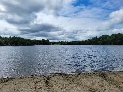
Heart Pond Beach
Chelmsford
9.8 miles WFree, unguarded town beach on 91-acre Heart Pond in South Chelmsford, open dawn to dusk to residents and non-residents, right beside the Bruce Freeman Rail Trail.
Canoe, Kayak, Swim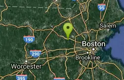
Walden Pond State Resreve
Concord, Massachusetts
11.6 miles SWSwim near Concord, Massachusetts
Swim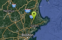
Ipswich River
Topsfield, Massachusetts
15.4 miles NESwim near Topsfield, Massachusetts
Swim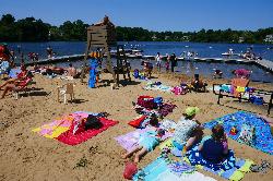
Crystal Lake Beach
Newton
16.5 miles SNewton's lifeguarded city beach on Crystal Lake, a 33-acre spring-fed great pond a short walk from the Newton Highlands Green Line stop. Day passes are sold at the bathhouse ($8 residents, $15 non-residents).
Canoe, Kayak, Swim
Sandy Pond Beach
Ayer
18.8 miles WAyer's lifeguarded town beach on Sandy Pond, a 73-acre kettle pond. Residents swim free; non-residents pay $8 a day ($5 for children) during the summer season.
Swim 2.1 mi
Wildcat Falls
Merrimack, New Hampshire
26.1 miles NWCLOSED. THIS location has been closed until further notice. Effective June 26th, 2020 due to illegal activities and trail damage. An 87-acre conservation area along the Souhegan River featuring Wildcat Falls, pine and hardwood forest, a Heritage Trail extension, blueberry picking, and great bird watching in a cleared meadow.
Cross-country Ski, Dive, Hike, Mountain Bike, Snowshoe, Swim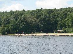
Hopkinton State Park Upper Beach
Ashland
27.0 miles SWThe unguarded reservoir beach above the dam at Hopkinton State Park, separate from the guarded Main Beach below it, with 8 dollar resident parking and boat rentals on the water.
Canoe, Hike, Kayak, Swim
Leominster State Forest
Princeton, Massachusetts
34.1 miles WOver 135 acres of surface water across five ponds in Leominster State Forest, with lifeguarded swimming at one pond, plus hiking, biking, and permitted rock climbing. Fees apply.
Swim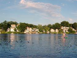
Regatta Point Beach
Worcester
35.2 miles SWA small guarded swimming beach on Lake Quinsigamond in Worcester, part of DCR's Quinsigamond State Park, with lifeguards in summer and a daily DCR parking fee of $8 for Massachusetts plates and $30 for out-of-state plates.
Swim
Pinkham Notch Area
Durham, New Hampshire
39.2 miles NSwim near Durham, New Hampshire
Swim
Packers Falls
Durham, New Hampshire
39.2 miles NSwim near Durham, New Hampshire
Swim
Falls Pond
North Attleborough
41.7 miles SA residents only town beach on the north basin of Falls Pond in North Attleborough, with a paved lot, a state boat ramp, no lifeguards, and a long record of summer E. coli closures.
Canoe, Kayak, Swim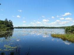
Contoocook Beach
Jaffrey
44.5 miles WContoocook Beach is the Town of Jaffrey's sand beach on 344-acre Contoocook Lake, with a buoyed swim area, a bathhouse and concession stand, and Mount Monadnock filling the skyline across the water. Swimming is free for everyone, but the parking lot is re
Canoe, Hike, Kayak, Swim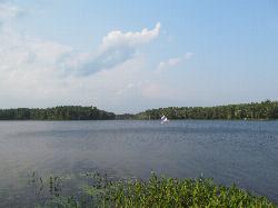
Lake Dennison Recreation Area
Winchendon
45.9 miles WA DCR-run state recreation area in Winchendon with a sandy beach on Lake Dennison, a wooded Army Corps lake. Summer parking is $8 for Massachusetts plates and $30 for others.
Camp, Canoe, Hike, Kayak, Swim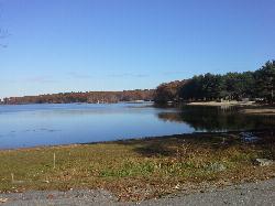
Lincoln Woods State Park Beach
Lincoln
48.4 miles SFree freshwater beach on Olney Pond in Lincoln Woods State Park, Rhode Island's first state park, with seasonal lifeguards, a beach pavilion and showers just north of Providence.
Canoe, Hike, Kayak, Swim
Leigh's Mill Pond
South Berwick, Maine
49.2 miles NECLOSED. Private property off Vine Street, heavily posted against trespassing, and closed to the public since 2020. Multiple drownings have occurred here. Please stay out. Leigh's Mill Pond in South Berwick, Maine, is a former swimming spot on the Great Works River — now private, posted, and closed to the public.
Swim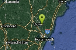
Long Dam
South Berwick, Maine
49.2 miles NESwim near South Berwick, Maine
Swim


