


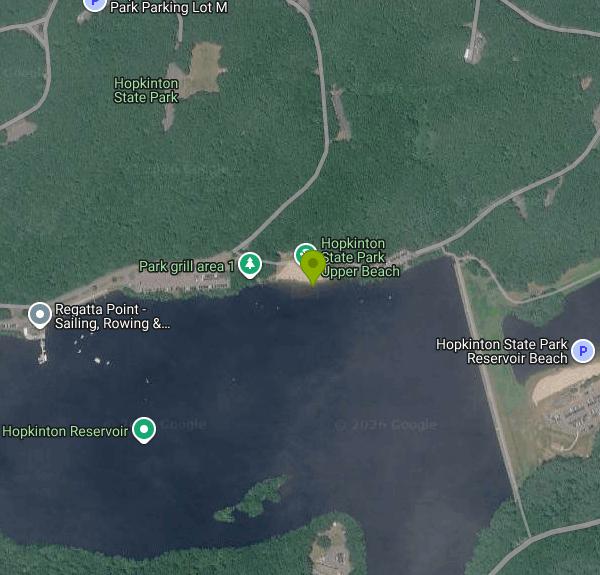
Hopkinton State Park Upper Beach
Ashland
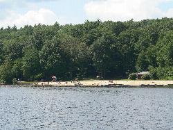
Canoe, Hike, Kayak, and Swim
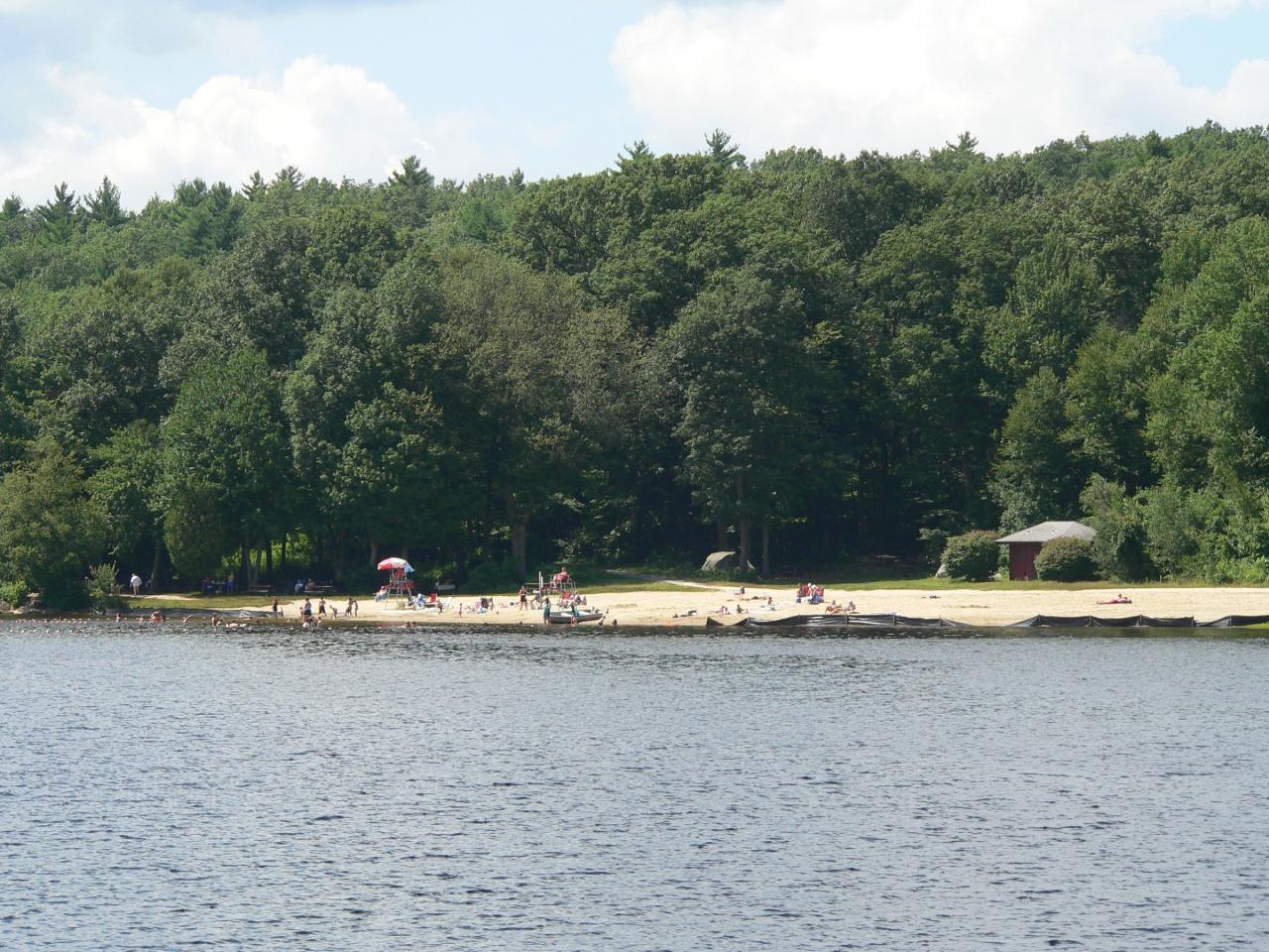
Hopkinton State Park has two beaches and they are not interchangeable. The Massachusetts Department of Conservation and Recreation lists them as Hopkinton Main Beach and Upper Reservoir Beach. The Main Beach, also called the Lower Beach, sits below the park's historic earthen dam on a separate bathing pond. The Upper Beach is the one on Hopkinton Reservoir itself, above the dam, and that is the larger body of water where all the park's boating happens. If you are looking at pictures of small sailboats and kayaks on open water with a wooded island in the middle, you are looking at the Upper Beach's reservoir.
The difference matters most for lifeguards. In DCR's 2026 waterfront services schedule, Hopkinton Main Beach gets weekend coverage early in the season and seven day coverage from mid June onward, while Upper Reservoir Beach is listed as unguarded for the entire season. Both are designated swimming areas, so both get restrooms, parking and routine water quality testing, but nobody is watching the water at the Upper Beach. The swimming season runs late May through Labor Day. Where guards are posted, swimming stops at 5:45 PM. The park gates are open 8:00 AM to 6:30 PM.
Parking is metered and fees are charged from Memorial Day weekend through the Monday of Columbus Day weekend. The rate is set by your license plate: 8 dollars for a Massachusetts plate, 30 dollars for an out of state plate. The meters take no cash. You pay at the lot or through the YODEL app and leave the pass on your dashboard. Massachusetts residents can buy an annual DCR parking pass for 60 dollars, and residents 62 and older can buy a lifetime senior pass for 10 dollars, though that one is not sold on site. Parking is free for vehicles with a disability plate or placard, a Purple Heart plate, or a disabled veteran plate. DCR closes the park temporarily once the lots reach capacity, which happens on hot summer weekends, so arriving early is the whole game.
The hazard specific to this beach is bacteria. The Upper Beach has been closed on its own while the Main Beach stayed open, after enterococci counts came back above the state freshwater limit of 61 MPN per 100 mL. Hopkinton's health director attributed it largely to the resident goose population, along with pets and swimmers, and pointed out that the water in this part of the reservoir does not move through the way it does in a flowing pond. DCR tests daily during a closure to decide when the water is safe again. Check the state's Interactive Beach Water Quality Dashboard before you make the drive.
Facilities include restrooms, a boathouse, a car top boat ramp, hundreds of picnic tables with charcoal grills, two reservable pavilions, an accessible beach and beach wheelchairs. Regatta Point Community Sailing runs the seasonal rentals on the reservoir for kayaks, paddleboards and small sailboats. No motorized watercraft anywhere in the park. Flotation devices are not allowed in the swimming areas, but Coast Guard approved life jackets always are. Dogs have to be leashed and are banned from both beaches from May 1 through September 15. Grilling is confined to the designated picnic areas, and groups over 25 need a special use permit.
The reservoir was built between 1891 and 1894 to impound part of the Sudbury River watershed for Boston, and the 650 foot granite stepped spillway at its east end is on the National Register of Historic Places. Once the water came out of service for drinking, the state opened the park in 1947. More than 10 miles of trails run through the roughly 1,500 acres around the water. The park entrance is at 164 Cedar Street in Hopkinton.
More Information
Regatta Point | Sailing, Rowing & Paddling in Worcester & Hopkinton, MA
Since 1960, Regatta Point has brought sailing, rowing, kayaking, and summer camps to Worcester and Hopkinton, MA. Memberships, rentals, and lessons for all ages and abilities.
https://www.regattapoint.org/Way: Hopkinton Reservoir Beach (816269293)
OpenStreetMap is a map of the world, created by people like you and free to use under an open license.
https://www.openstreetmap.org/way/816269293Be courteous, informed, and prepared. Read trailhead guidelines, stay on the trail, and don't feed the wildlife.
Read More
- Plan Ahead and Prepare
- Travel & camp on durable surfaces
- Dispose of waste properly
- Leave what you find
- Minimize campfire impacts
- Respect wildlife
- Be considerate of other visitors
Directions
From Ashland
- Head east on W Main St toward Claremont Ave (3.1 mi)
- Continue onto US-250 E (0.4 mi)
- Turn left to merge onto I-71 N toward Cleveland (33.6 mi)
- Take exit 220 for I-271 N toward Erie Pa (0.3 mi)
- Continue onto I-271 N (25.1 mi)
- Keep left to stay on I-271 N, follow signs for 271 N/
Erie Pa (15.0 mi) - Merge onto I-90 EToll roadPassing through PennsylvaniaEntering New York(447 mi)
- Slight right onto Governor Thomas E. Dewey Thruway/
NY State Thruway (signs for I-87 S/ New York/ Boston) (1.0 mi) - Continue onto I-87 S/
Governor Thomas E. Dewey Thruway/ NY State Thruway Toll road(13.6 mi) - Take exit 21A toward I-90 E/
Mass Tpke Toll road(1.0 mi) - Continue onto NY-912M EToll road(6.4 mi)
- Continue onto I-90 EToll roadEntering Massachusetts(123 mi)
- Take the exit toward I-495 SToll road(0.3 mi)
- Slight right to merge onto I-495 S (3.9 mi)
- Take exit 54A to merge onto W Main St toward Hopkinton (1.5 mi)
- Continue straight to stay on W Main St (0.5 mi)
- Turn left onto MA-85 N/
Cedar St (2.4 mi) - Turn right (233 ft)
- Slight rightRestricted usage road(0.2 mi)
- Turn leftRestricted usage road(0.8 mi)
- Turn rightRestricted usage road(0.4 mi)
 The swimming beach on Hopkinton Reservoir, seen from the water courtesy of NewtonCourt↗ (CC BY-SA 4.0↗)
 Kayaks and small sailboats pulled up on the reservoir shore courtesy of NewtonCourt↗ (CC BY-SA 4.0↗)
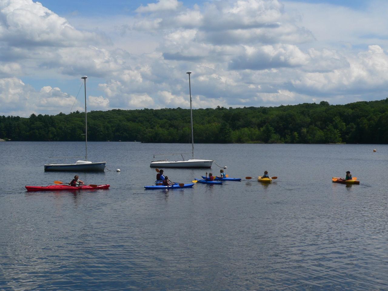
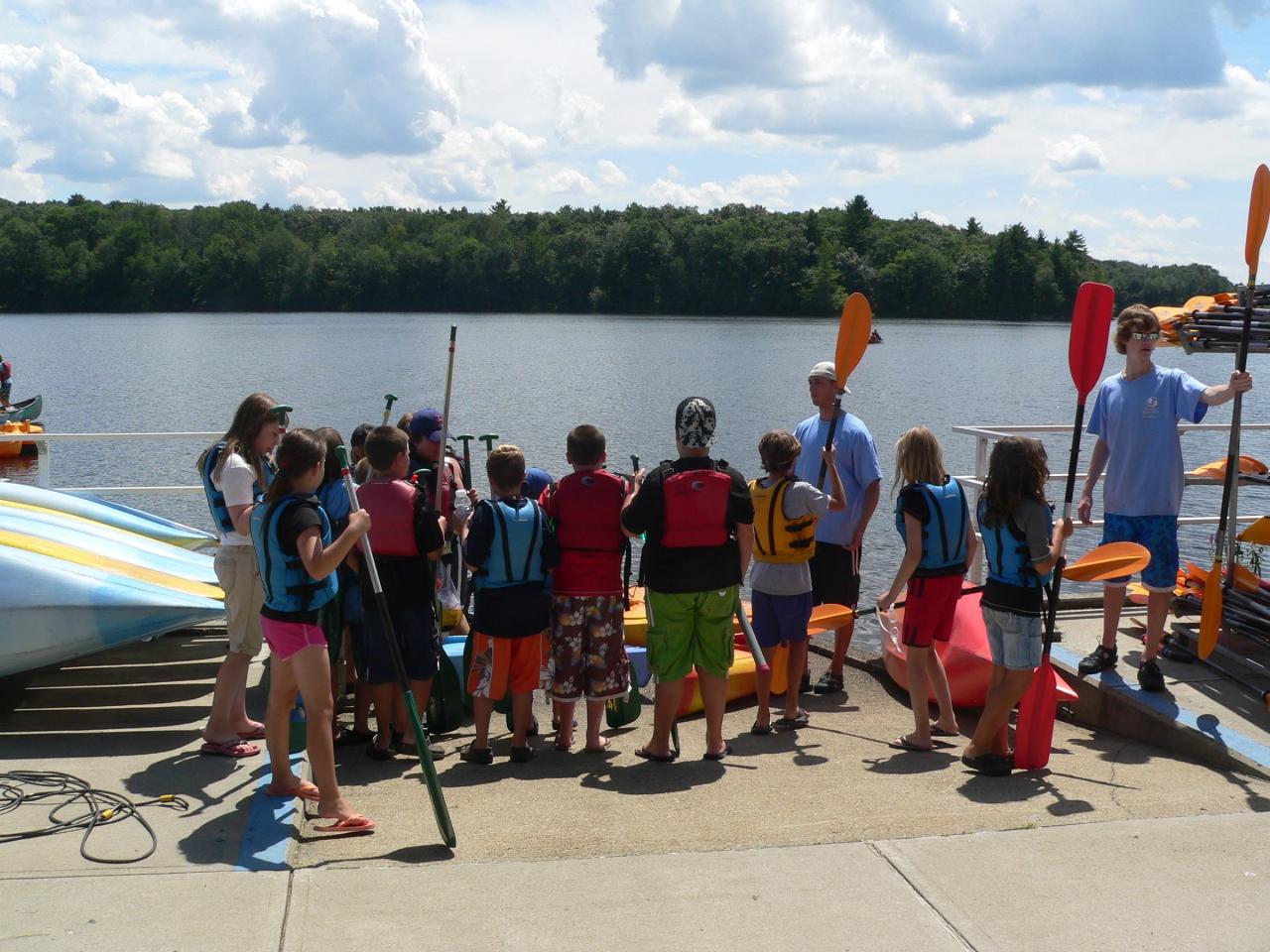
 A boating class out on Hopkinton Reservoir courtesy of NewtonCourt↗ (CC BY-SA 4.0↗)
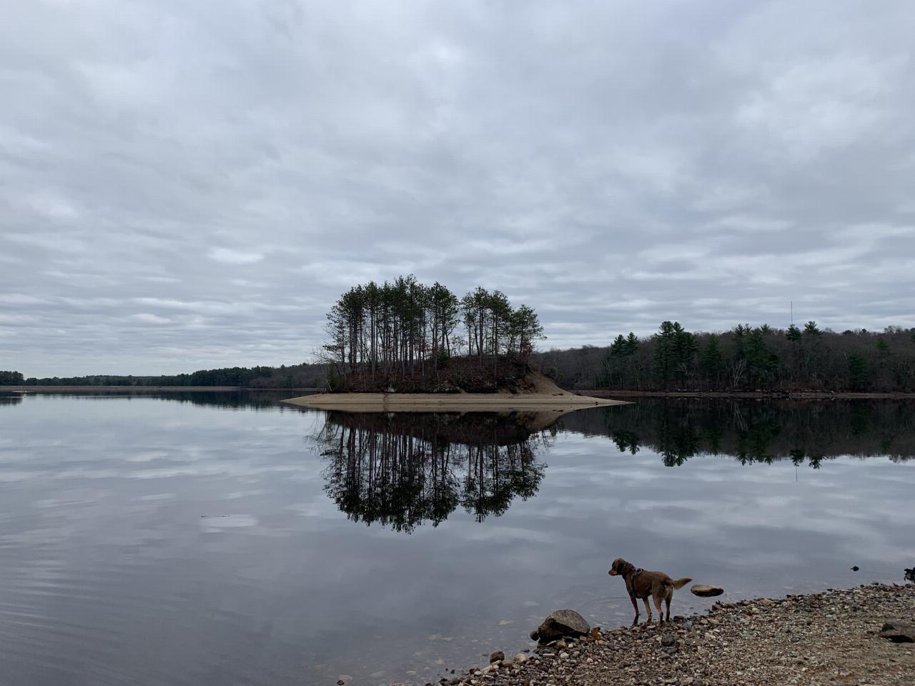
 Bacon Island, the wooded island out in Hopkinton Reservoir courtesy of CresaLP↗ (CC BY-SA 4.0↗)
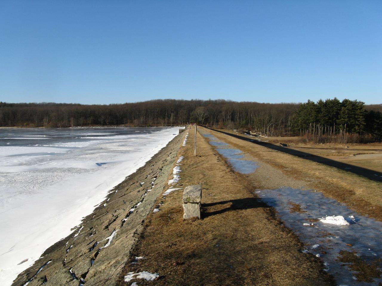
 The 1890s earthen dam and granite stepped spillway that separates the upper reservoir from the lower courtesy of John Phelan↗ (CC BY 3.0↗)
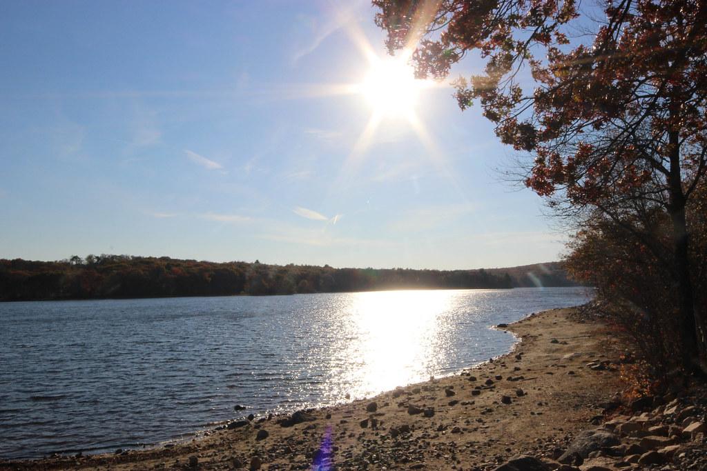
 Autumn color along the reservoir shoreline courtesy of Michelle K Callahan↗ (CC BY 2.0↗)
Other Swimming Holes, Hiking Trails, Canoeing Areas, and Kayaking Areas Nearby
Walden Pond State Resreve
Concord, Massachusetts
15.4 miles NESwim near Concord, Massachusetts
Swim
Falls Pond
North Attleborough
22.2 miles SEA residents only town beach on the north basin of Falls Pond in North Attleborough, with a paved lot, a state boat ramp, no lifeguards, and a long record of summer E. coli closures.
Canoe, Kayak, Swim
Leominster State Forest
Princeton, Massachusetts
25.1 miles NWOver 135 acres of surface water across five ponds in Leominster State Forest, with lifeguarded swimming at one pond, plus hiking, biking, and permitted rock climbing. Fees apply.
Swim
Jerimoth Hill
Foster, Rhode Island
31.3 miles SWRhode Island's highest point at 812 feet — a large summit rock just 200 yards and a 5-minute walk from the road, surrounded by scenic lakes and verdant trees in Foster.
Hike
Lake Mashapaug
Union, Connecticut
35.9 miles SWSwim near Union, Connecticut
Swim
Dean Pond
Monson, Massachusetts
40.2 miles WSwim near Monson, Massachusetts
Swim
Ipswich River
Topsfield, Massachusetts
41.1 miles NESwim near Topsfield, Massachusetts
Swim 2.1 mi
Wildcat Falls
Merrimack, New Hampshire
41.7 miles NCLOSED. THIS location has been closed until further notice. Effective June 26th, 2020 due to illegal activities and trail damage. An 87-acre conservation area along the Souhegan River featuring Wildcat Falls, pine and hardwood forest, a Heritage Trail extension, blueberry picking, and great bird watching in a cleared meadow.
Cross-country Ski, Dive, Hike, Mountain Bike, Snowshoe, Swim
Doane Falls
Royalston, Massachusetts
44.2 miles NWSwim near Royalston, Massachusetts
Swim
Chaplin Area
Chaplin, Connecticut
45.8 miles SWSwim near Chaplin, Connecticut
Swim
Mount Hope Brook
Mansfield, Connecticut
47.2 miles SWSwim near Mansfield, Connecticut
Swim
Royalston Falls
Royalston, Massachusetts
48.9 miles NWSwim near Royalston, Massachusetts
Swim


