


Wenatchee Rotary Park
Wenatchee, Washington

| Address: | 1807 Mulberry Ln, Wenatchee, WA |
| GPS: |
47°26'38.6"N 120°20'48.1"W Maps | Directions |
| State: | Washington |
| Disc Golf Holes: | 9 |
| Disc Golf Course Length: | 1991 feet |
| Disc Golf Tee Type: | Concrete |
| Disc Golf Target Type: | DISCatcher |
Disc Golf
Very short and open, but OB sidewalks and mandatories interest. Public (No Fee)Courtesy of DiscGolfUnited.com
More Information
Add Resource
- Plan Ahead and Prepare
- Travel & camp on durable surfaces
- Dispose of waste properly
- Leave what you find
- Minimize campfire impacts
- Respect wildlife
- Be considerate of other visitors
Directions
From Wenatchee, Washington
- Head southwest on Orondo Ave toward S Wenatchee Ave (374 ft)
- Turn right onto S Mission St (1.2 mi)
- Turn left onto N Miller St (0.1 mi)
- Turn right onto Springwater Ave (1.0 mi)
- Turn right onto N Western Ave (0.5 mi)
- Turn left onto Mulberry LnDestination will be on the left(121 ft)
From the west; Hwy 2, enter town and turn right on Maiden Lane (Wal Mart). Go uphill (Maiden turns into Western Ave.) to the course on the right at the corner of Maple St.Courtesy of DiscGolfUnited.com

Other Folf Courses Nearby

Roy Tedford Park
East Wenatchee, Washington
4.6 miles SEA fun recreational course in a grassy park next to an elementary school — mostly flat with gentle slopes, mature trees adding challenge, and no tee signs so bring the map.
Disc Golf
Hanson Ponds Disc Golf Course
Cle Elum, Washington
34.2 miles SWA disc golf course along the Yakima River in Cle Elum with water coming into play on a couple of holes — a scenic free round in central Washington.
Disc Golf
Dawson Park
Cle Elum, Washington
35.5 miles SWPlays around and across a small park using surrounding woods and hills — tell the gate guard you're heading to the disc golf course and they'll wave you through.
Disc Golf
Ellensberg Disc Golf Course
Ellensburg, Washington
36.3 miles SAn isolated recreational course on rocky river-bottom land near I-90 at Irene Rinehart Park — no formal tees or signs; bring the map for navigation.
Disc GolfNearby Campsites
Daroga State Park
Orondo
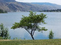
19.6 miles NA mile and a half of Columbia River shoreline six miles north of Orondo, with a marked swim beach, a warm shallow lagoon behind the spit, and primitive campsites you can only reach on foot or by boat. Discover Pass required, open April through September.
Camp, Hike, Kayak, Swim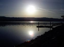
Lake Chelan State Park
Chelan
30.5 miles NWashington State Parks swim beach on the south shore of Lake Chelan, about 9 miles west of Chelan, with a roped swim area below the day-use lot. Discover Pass required ($10 day, $45 annual).
Camp, Hike, Kayak, Swim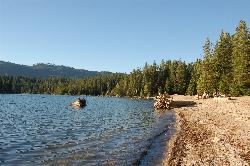
Lake Wenatchee State Park South Beach
Leavenworth
30.6 miles NWThe designated swim beach at Lake Wenatchee State Park, a sandy stretch of cold, clear glacier-fed lake in the eastern Cascades about 20 road miles from Leavenworth. Discover Pass required ($10 per day).
Camp, Canoe, Hike, Kayak, Swim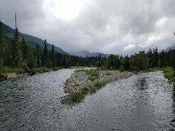
Salmon La Sac Swimming Hole
Cle Elum
35.2 miles WWhere the Cooper River meets the Cle Elum River 19 miles north of Cle Elum, Salmon La Sac holds a run of deep green snowmelt pools below the Forest Service campground. Swimming is free, though parking at the trailhead lot costs $5 a day.
Camp, Hike, Kayak, Swim
Jade Lake
Skykomish, Washington
43.7 miles NWA 26-mile overnight backpacking route through the Snoqualmie region past wildflower meadows, Marmot Lake, and a steep talus scramble to a remote alpine lake for swimming.
Backpack, Camp, Swim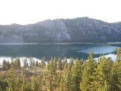
Alta Lake State Park
Pateros
44.5 miles NEWashington state park beach on the north shore of Alta Lake, two miles southwest of Pateros, with a day-use swim area below tall rock cliffs. Discover Pass required; open April through October.
Camp, Hike, Kayak, Swim


