


Daroga State Park
Orondo
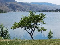
Camp, Hike, Kayak, and Swim
Daroga State Park is a 127-acre green strip pressed between US 97 and the Columbia River about six miles north of Orondo, in the dry Douglas County scablands. The water is Lake Entiat, the reservoir behind Rocky Reach Dam, and the park holds roughly a mile and a half of its shoreline. The contrast is the whole appeal: irrigated lawn, cottonwoods and mown ballfields on one side, bare basalt canyon walls and sagebrush benches climbing away on the other. The land was an Auvil brothers orchard starting in 1928, and the park name is stitched together from Dave, Robert and Grady. When Rocky Reach Dam flooded the bottomland, the orchard moved uphill and the riverbank became what you swim at now.
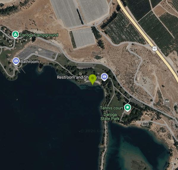
The designated swim beach sits mid-park, below the day-use parking, the playground and the kitchen shelter, with mown grass running down to the waterline so you can set a chair twenty feet from the water. South of the beach a long spit curls back on itself and encloses a shallow lagoon. That lagoon is the calm option: warmer, slower, shallow enough for small kids and the obvious place to put in a kayak or a paddleboard.
Water temperature tracks the river, not the air. The Columbia through this reach averages roughly 51 degrees in May, upper 50s through June, low 60s in July, and 67 to 69 degrees in August and early September. The lagoon and the sunned shallows off the beach run several degrees warmer. Air temperature is the opposite story. July and August routinely push past 95, there is almost no natural shade outside the planted lawn, and the park sits under burn bans through most of the dry season.
Camping splits in two. Twenty-eight sites with water and electricity sit at the north end and take RVs of any size. Sites 29 through 45 are primitive and reachable only on foot or by boat, strung along the spit between the lagoon and the river, a quarter mile to half a mile from the nearest parking. Two group camps hold up to 150 people each. About two miles of trail follow the shoreline and loop the park, flat and largely paved. There are ball fields, two tennis courts, two basketball courts, soccer, volleyball and horseshoe pits, plus two watercraft launches and three docks.
Watch the river itself. Rocky Reach Dam operations change the level and the current with no warning, so water past the marked swim area moves faster than it looks. Afternoon upriver wind is close to a daily event and pushes floats and paddlecraft downstream fast. Boat traffic and water-skiers work this reach heavily all summer.
The park runs April 1 through September 30, 6:30 a.m. to dusk, and closes October 1 to April 1. A Discover Pass is required to park: $45 for the annual, $10 for one day. Campsites are reservable May 15 through September 15 and first come, first served outside those dates.
More Information
Be courteous, informed, and prepared. Read trailhead guidelines, stay on the trail, and don't feed the wildlife.
Read More
- Plan Ahead and Prepare
- Travel & camp on durable surfaces
- Dispose of waste properly
- Leave what you find
- Minimize campfire impacts
- Respect wildlife
- Be considerate of other visitors
Directions
From Orondo
- Head north on US-97 N toward Dewie Dr (6.4 mi)
- Turn left onto N Daroga Pk Ln (0.5 mi)
- Turn leftDestination will be on the left(115 ft)
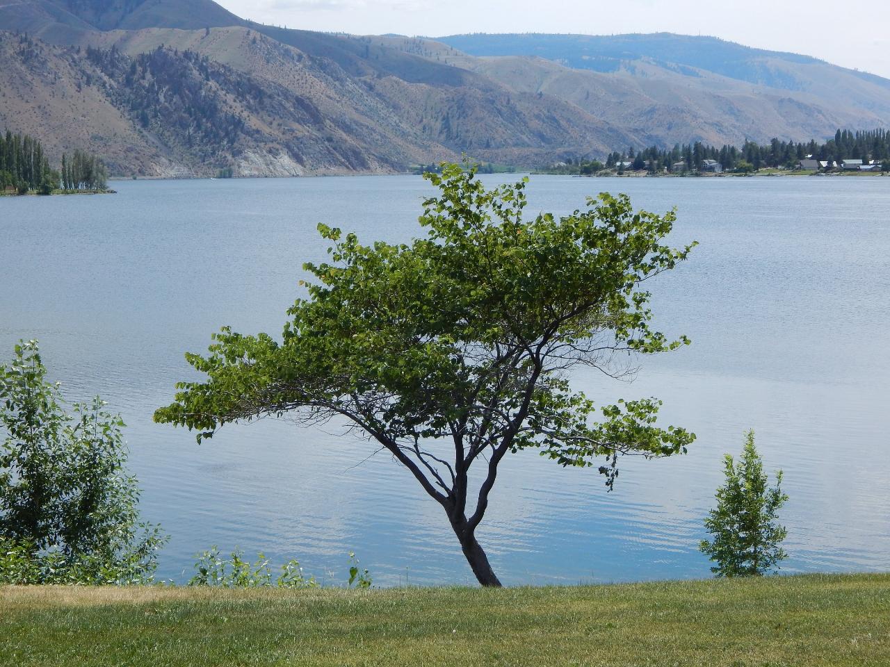
 Daroga State Park on the Columbia River arm of Lake Entiat courtesy of Todd Petit from East Wenatchee, WA, USA↗ (CC BY 2.0↗)
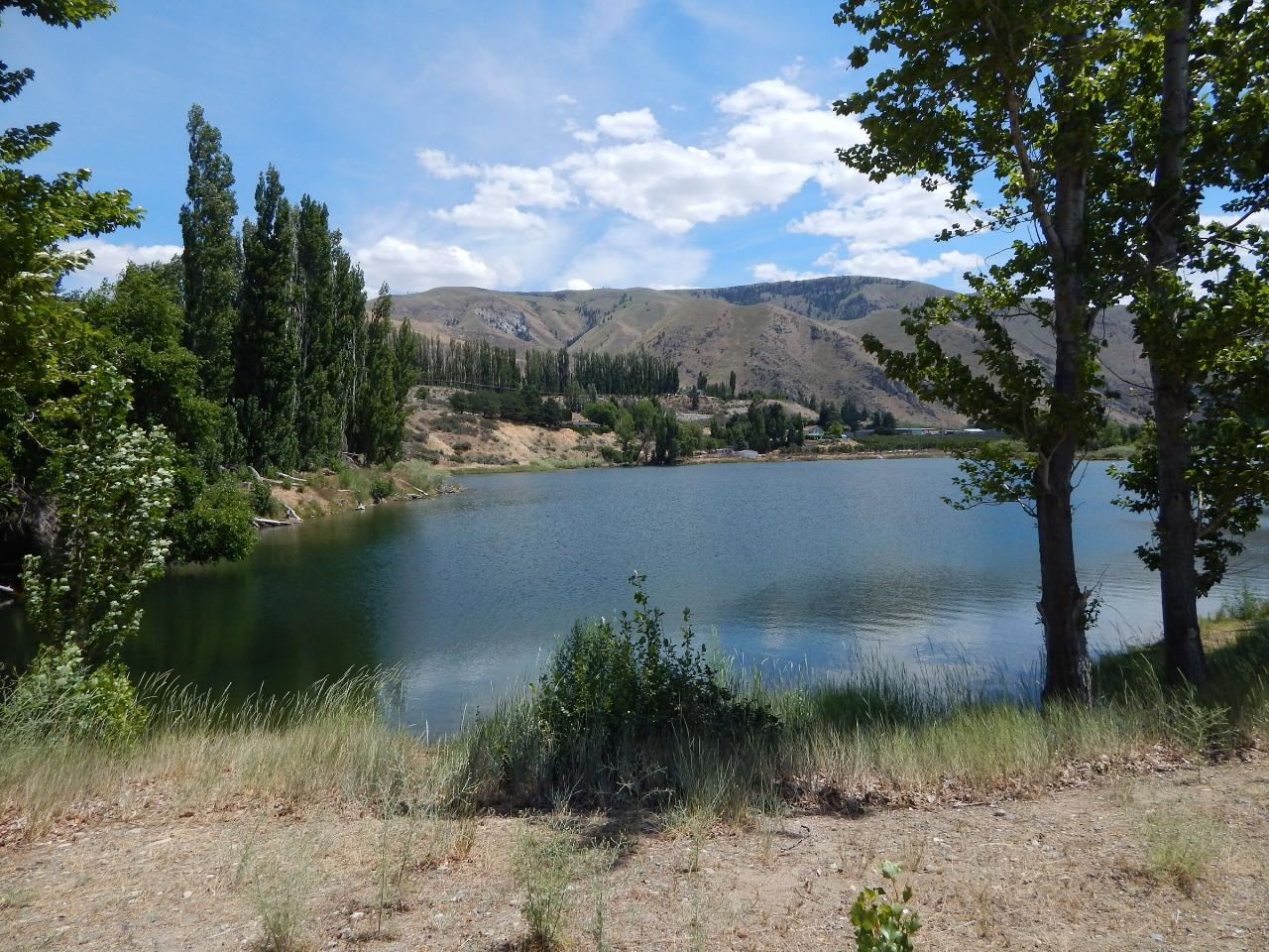
 The protected cove behind the spit at Daroga State Park courtesy of Todd Petit from East Wenatchee, WA, USA↗ (CC BY 2.0↗)
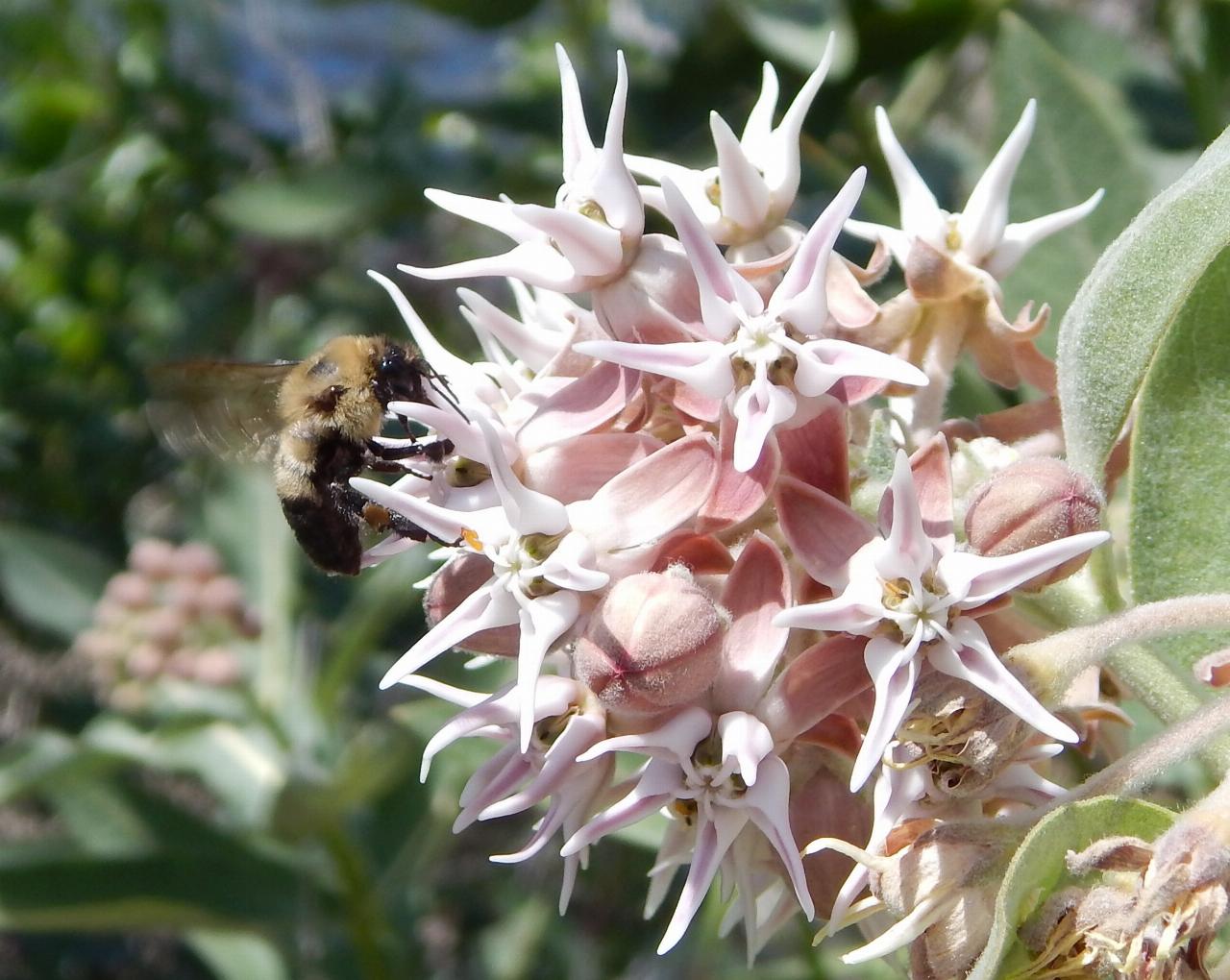
 Milkweed blooming near the water's edge at Daroga State Park courtesy of Todd Petit from East Wenatchee, WA, USA↗ (CC BY 2.0↗)
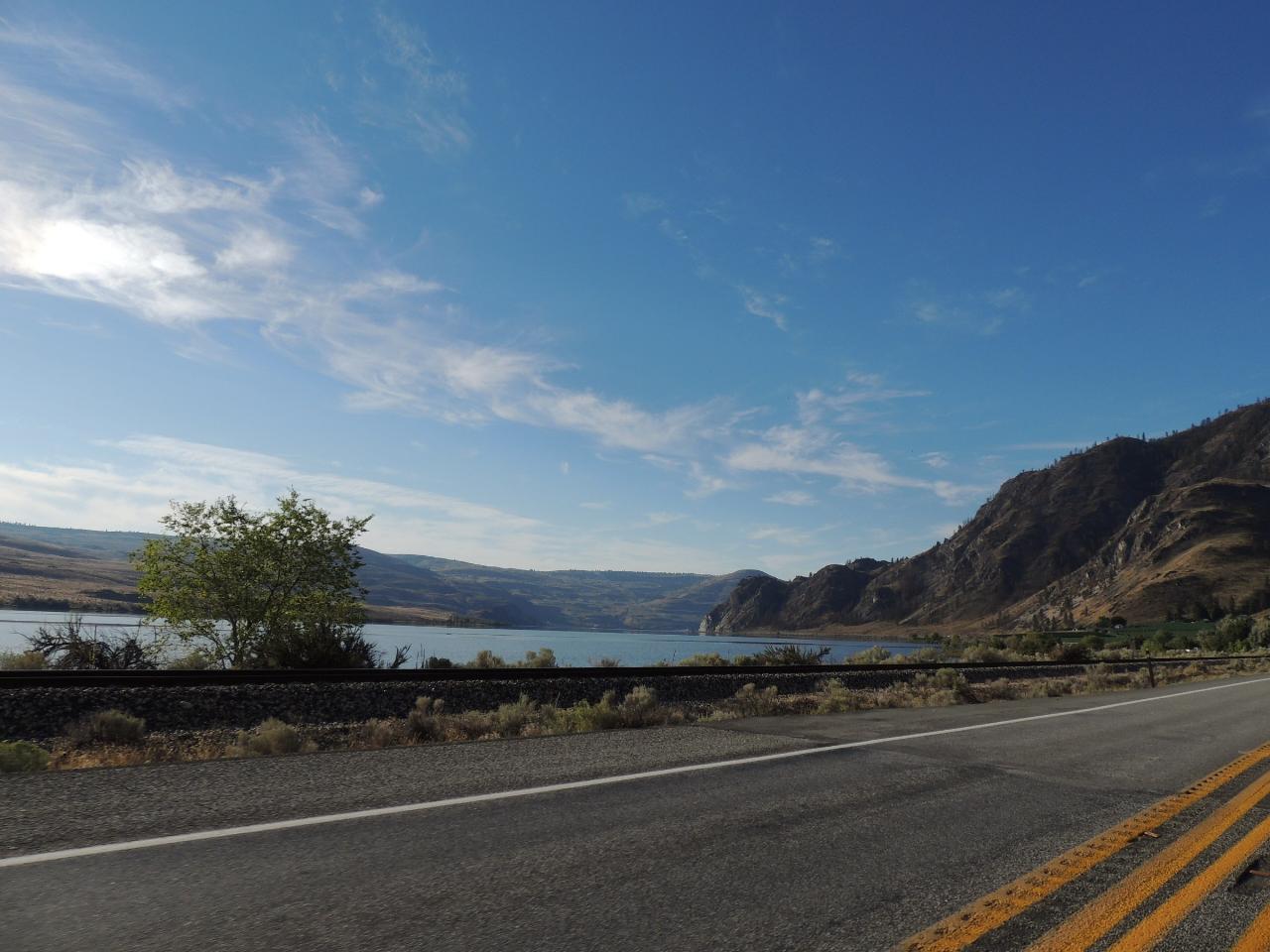
 Lake Entiat, the Columbia River reservoir the park's beach fronts courtesy of Richard Bauer↗ (CC BY 2.0↗)
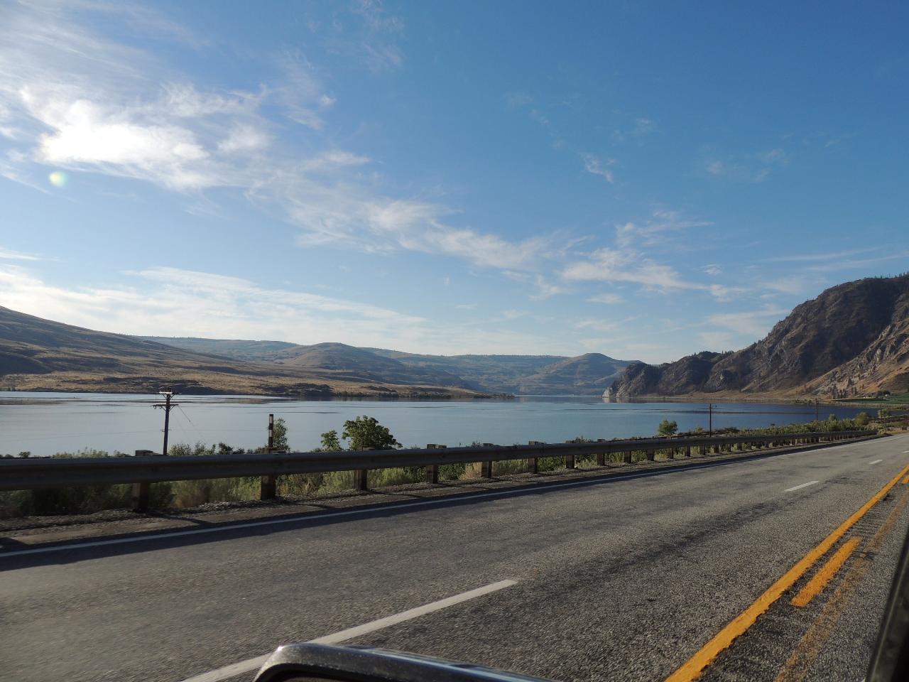
 The Rocky Reach reservoir that forms Daroga's mile and a half of shoreline courtesy of Richard Bauer↗ (CC BY 2.0↗)
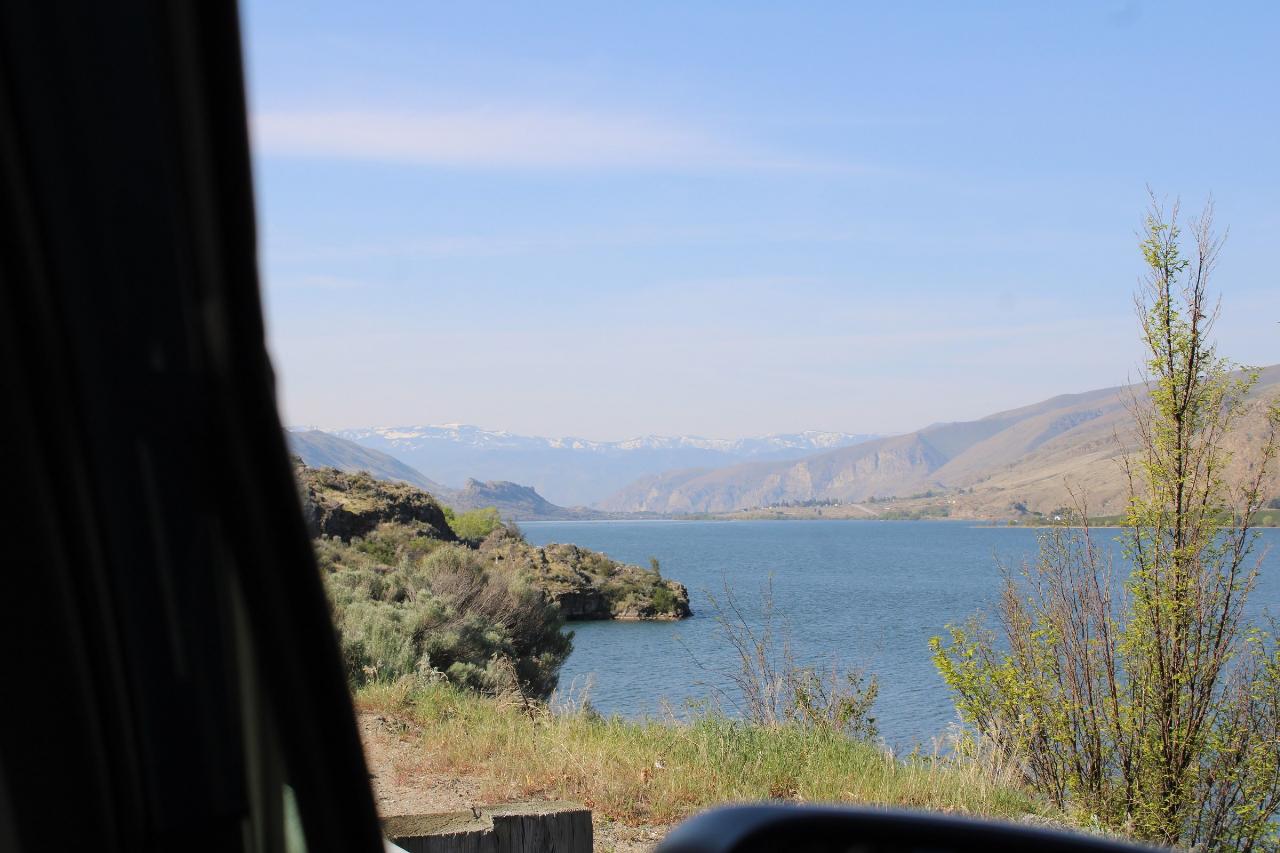
 The Columbia River looking downstream at Orondo, six miles south of the park courtesy of Chris Light↗ (CC BY-SA 4.0↗)
Other Swimming Holes, Hiking Trails, and Kayaking Areas Nearby

Chelan Falls Park
Chelan Falls, Washington
11.9 miles NEFree Chelan County PUD park on the Columbia River with a roped swim area, two-lane boat launch, docks, showers and ball fields, four miles below the town of Chelan.
Hike, Kayak, Swim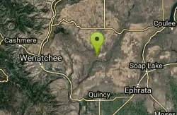
Douglas Creek
Palisades, Washington
23.1 miles SESwim near Palisades, Washington
Swim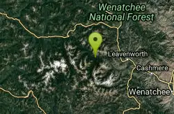
Rock Island
Leavenworth, Washington
34.0 miles WSwim near Leavenworth, Washington
Swim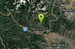
Teanaway River
Cle Elum, Washington
42.7 miles SWSwim near Cle Elum, Washington
Swim
Jade Lake
Skykomish, Washington
46.1 miles WA 26-mile overnight backpacking route through the Snoqualmie region past wildflower meadows, Marmot Lake, and a steep talus scramble to a remote alpine lake for swimming.
Backpack, Camp, Swim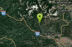
French Cabin Creek
Ronald, Washington
49.1 miles SWTwo cold, clear swimming spots in a National Forest creek on either side of a bridge near Ronald, Washington — clothing may be optional.
Swim


