


Alta Lake State Park
Pateros
Camp, Hike, Kayak, and Swim
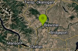
Alta Lake State Park is a 181-acre Washington State Parks and Recreation Commission property at the north end of Alta Lake, about two miles southwest of Pateros in Okanogan County. The lake runs roughly two miles long and half a mile wide, covers about 220 acres at an elevation near 1,170 feet, and sits in a narrow glacial valley where pine forest gives way to dry desert hills. Rock cliffs shaped by glaciers rise about 1,000 feet above the west shore, and the town of Pateros gave the land to the state in 1951.
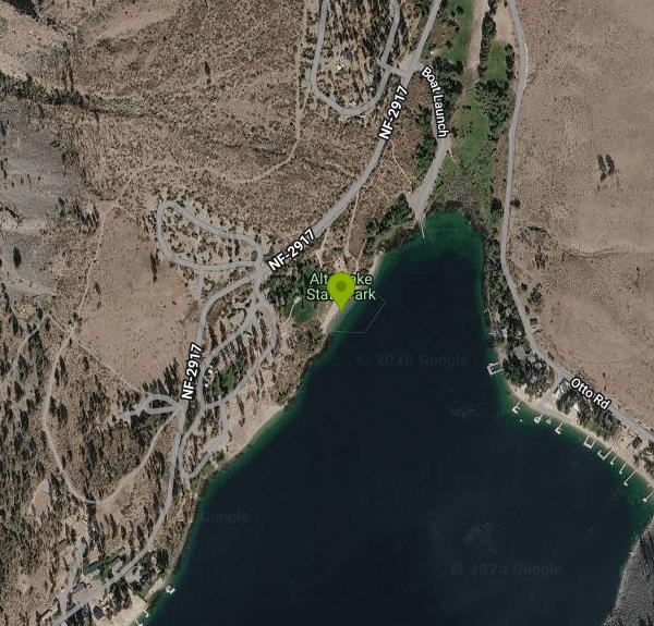
From Pateros, drive west on State Route 153 for about two miles and turn south onto Alta Lake Road, then follow the signs to the entrance at 1B Otto Road. Day visitors park in the lots near the boat launch and the day-use area on the north shore. The swim beach is a short stretch of shoreline at the day-use area, just south of the boat launch and below the camp store and the picnic tables, with Camp Loop 2 on the far side. State Parks marks it as the park's swimming area on its brochure map, and the WA State Parks Foundation lists buoys among the park amenities.
The beach shelves into open lake water that gets deep well away from shore; Alta Lake reaches about 79 feet at its deepest. Because the lake is fed largely by underground sources, it warms earlier in the season than many mountain lakes in the region; early in spring it can still feel cool. There is no current to speak of, but afternoon wind is common enough that windsurfers use the lake. No lifeguard service is listed for the beach, so swimming is at your own risk and children should be watched closely.
This is not a free spot. A Washington Discover Pass is required to park: $10 for a one-day pass or $45 for an annual pass. Launching a boat costs $7 for the day. The park is open April through October, from 6:30 a.m. to 10 p.m. in summer, and it closes completely from November 1 until spring. Concessions on the Lake sells snacks, ice, firewood and groceries and rents kayaks and stand-up paddleboards; it opens weekends in April and May and daily from Memorial Day weekend through Labor Day, 8 a.m. to 7 p.m. Monday through Thursday and 8 a.m. to 8 p.m. Friday through Sunday.
Boat traffic is the main thing to keep in mind. Under an Okanogan County safety ordinance, waterskiing and personal watercraft are allowed on the lake from 9 a.m. to 6 p.m., so stay inside the swim area during those hours. Fire is the other recurring issue in this valley. The 2014 Carlton Complex Fire burned through the park and closed it for five weeks, and as of late September 2026 the park was under a Level 2 burn ban that limits wood fires to designated fire pits. Black bears are sometimes seen around the edges of the park, so keep food stored at campsites.
The park has three camping loops with standard and partial-hookup sites, two group camps, restrooms with showers, picnic shelters, volleyball and horseshoe pits. Roughly two miles of trail climb from the campground toward the cliffs for views over the lake and down the Columbia toward Pateros. Anglers fish the lake for rainbow trout and kokanee from shore and from boats, and the Alta Lake Golf Resort sits just north of the park.
More Information
Be courteous, informed, and prepared. Read trailhead guidelines, stay on the trail, and don't feed the wildlife.
Read More
- Plan Ahead and Prepare
- Travel & camp on durable surfaces
- Dispose of waste properly
- Leave what you find
- Minimize campfire impacts
- Respect wildlife
- Be considerate of other visitors
Directions
- Get directions on Google Maps
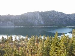
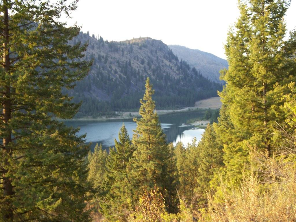
 Alta Lake seen from the hillside trail above the park, with the west shore cliffs reflected in the w courtesy of f3lix85↗ (CC BY 2.0↗)
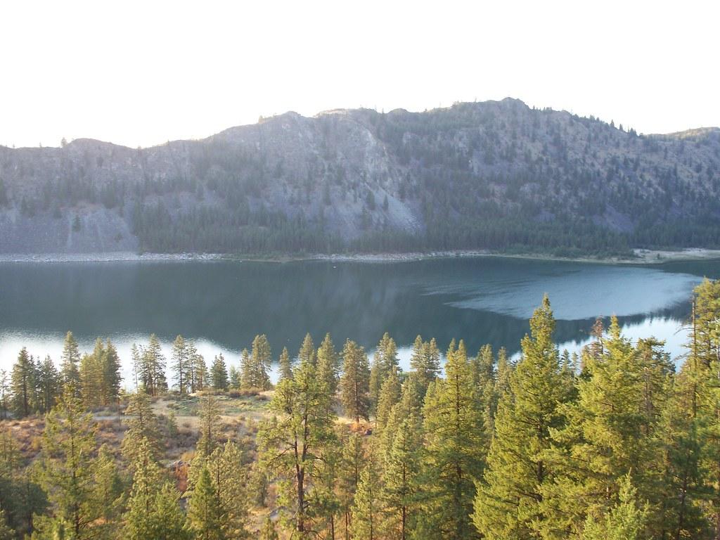
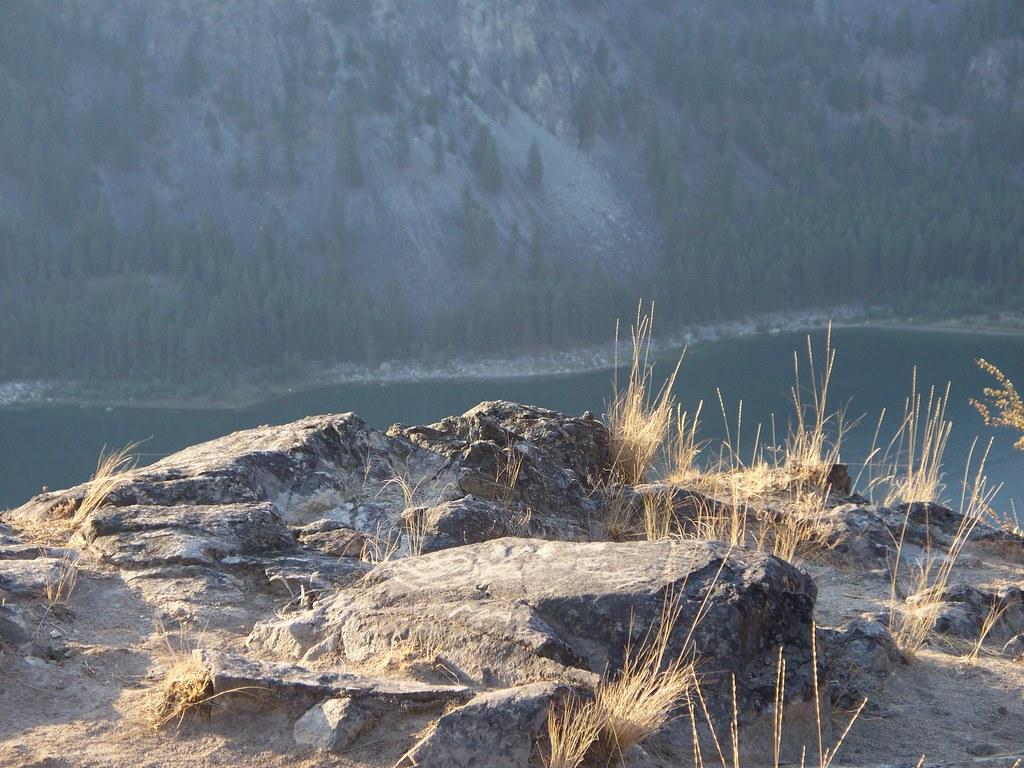
 Alta Lake's shoreline and clear shallows below the forested cliffs, seen from the rocks above the pa courtesy of Johannes Cater--Jaretac (talk) 15:13, 17 June 2009 (UTC)↗ (Public domain↗)
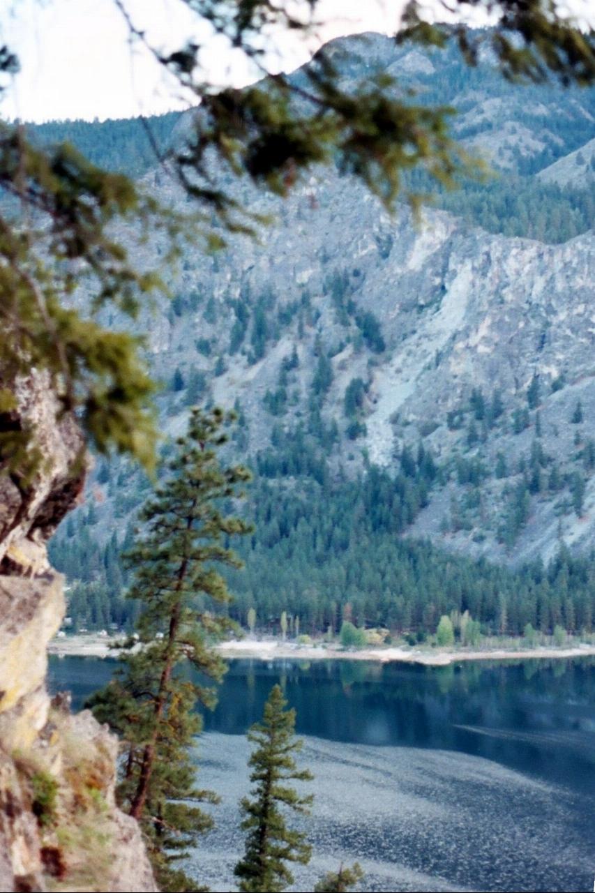
 Alta Lake through the pines on the slope above the campground. courtesy of f3lix85↗ (CC BY 2.0↗)
 A rocky outcrop on the park's trail high above the lake. courtesy of f3lix85↗ (CC BY 2.0↗)
 The rock cliffs that rise above Alta Lake State Park, with the lake visible below. courtesy of f3lix85↗ (CC BY 2.0↗)
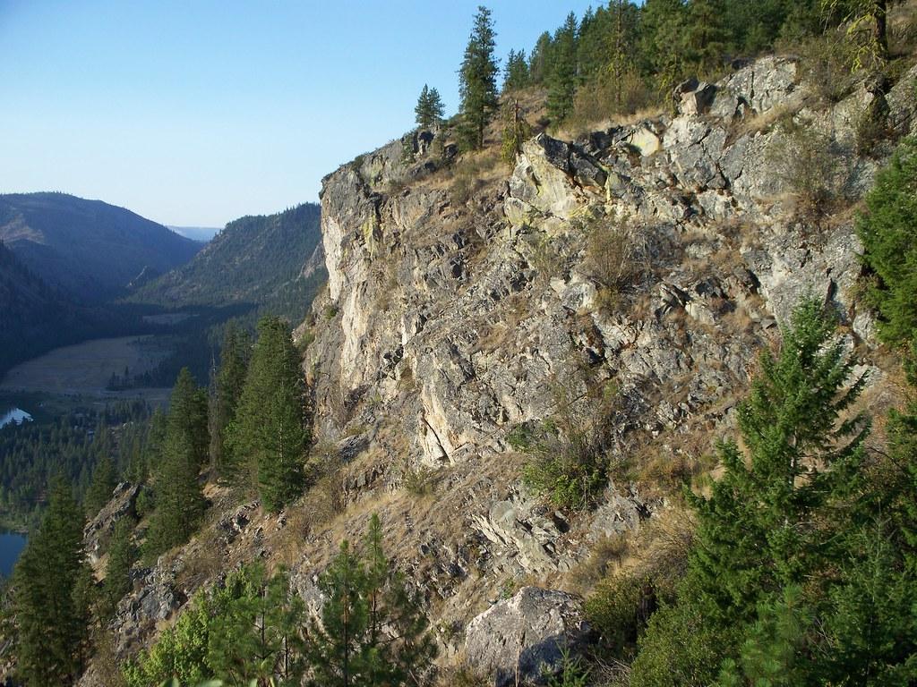 The cliff face above the park's trails on a clear evening. courtesy of f3lix85↗ (CC BY 2.0↗)
Other Swimming Holes, Hiking Trails, and Kayaking Areas Nearby
Columbia Cove Park
Brewster
8.3 miles NEA free City of Brewster river park on Lake Pateros (the Columbia River above Wells Dam) with a small swim beach in a cove beside the boat launch, picnic shelters and a lawn.
Kayak, Swim
Chelan Falls Park
Chelan Falls, Washington
15.8 miles SFree Chelan County PUD park on the Columbia River with a roped swim area, two-lane boat launch, docks, showers and ball fields, four miles below the town of Chelan.
Hike, Kayak, Swim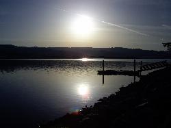
Lake Chelan State Park
Chelan
16.0 miles SWWashington State Parks swim beach on the south shore of Lake Chelan, about 9 miles west of Chelan, with a roped swim area below the day-use lot. Discover Pass required ($10 day, $45 annual).
Camp, Hike, Kayak, Swim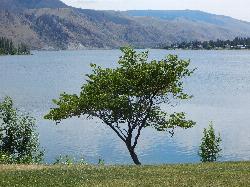
Daroga State Park
Orondo
25.1 miles SWA mile and a half of Columbia River shoreline six miles north of Orondo, with a marked swim beach, a warm shallow lagoon behind the spit, and primitive campsites you can only reach on foot or by boat. Discover Pass required, open April through September.
Camp, Hike, Kayak, Swim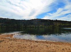
Pearrygin Lake State Park
Winthrop
33.2 miles NA marked sand swim beach on the warm southeast shore of Pearrygin Lake, a mile and a half from Winthrop, with a shaded day use lawn and a bathhouse with hot showers. Washington State Parks posts no lifeguards, and day use takes a Discover Pass.
Camp, Canoe, Hike, Kayak, Swim
Douglas Creek
Palisades, Washington
39.1 miles SSwim near Palisades, Washington
Swim
Steamboat Rock State Park Swim Beach
Electric City, Washington
39.5 miles ESandy roped swim beach on Banks Lake below the 800-foot basalt butte of Steamboat Rock State Park, 14 miles south of Grand Coulee Dam in the Washington desert.
Camp, Hike, Kayak, Mountain Bike, Swim
Lake Wenatchee State Park South Beach
Leavenworth
39.7 miles SWThe designated swim beach at Lake Wenatchee State Park, a sandy stretch of cold, clear glacier-fed lake in the eastern Cascades about 20 road miles from Leavenworth. Discover Pass required ($10 per day).
Camp, Canoe, Hike, Kayak, SwimNearby Campsites
Lake Chelan State Park
Chelan
16.0 miles SWWashington State Parks swim beach on the south shore of Lake Chelan, about 9 miles west of Chelan, with a roped swim area below the day-use lot. Discover Pass required ($10 day, $45 annual).
Camp, Hike, Kayak, Swim
Daroga State Park
Orondo
25.1 miles SWA mile and a half of Columbia River shoreline six miles north of Orondo, with a marked swim beach, a warm shallow lagoon behind the spit, and primitive campsites you can only reach on foot or by boat. Discover Pass required, open April through September.
Camp, Hike, Kayak, Swim
Pearrygin Lake State Park
Winthrop
33.2 miles NA marked sand swim beach on the warm southeast shore of Pearrygin Lake, a mile and a half from Winthrop, with a shaded day use lawn and a bathhouse with hot showers. Washington State Parks posts no lifeguards, and day use takes a Discover Pass.
Camp, Canoe, Hike, Kayak, Swim
Steamboat Rock State Park Swim Beach
Electric City, Washington
39.5 miles ESandy roped swim beach on Banks Lake below the 800-foot basalt butte of Steamboat Rock State Park, 14 miles south of Grand Coulee Dam in the Washington desert.
Camp, Hike, Kayak, Mountain Bike, Swim
Lake Wenatchee State Park South Beach
Leavenworth
39.7 miles SWThe designated swim beach at Lake Wenatchee State Park, a sandy stretch of cold, clear glacier-fed lake in the eastern Cascades about 20 road miles from Leavenworth. Discover Pass required ($10 per day).
Camp, Canoe, Hike, Kayak, Swim


