


Salmon La Sac Swimming Hole
Cle Elum
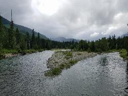
Camp, Hike, Kayak, and Swim
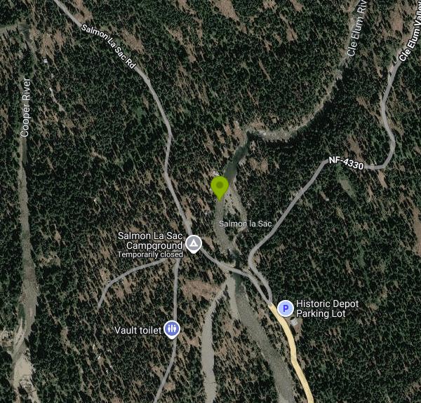
Salmon La Sac sits at the point where the Cooper River comes down out of the west and joins the Cle Elum River, about 19 miles north of Cle Elum in the Okanogan-Wenatchee National Forest. The drive up is State Highway 903, which becomes Salmon La Sac Road, running north out of Cle Elum through Roslyn and Ronald and then along the east shore of Cle Elum Lake. The road reaches the campground at roughly 2,300 feet. This is the last developed spot before the Alpine Lakes Wilderness, and the confluence is the reason people stop here.
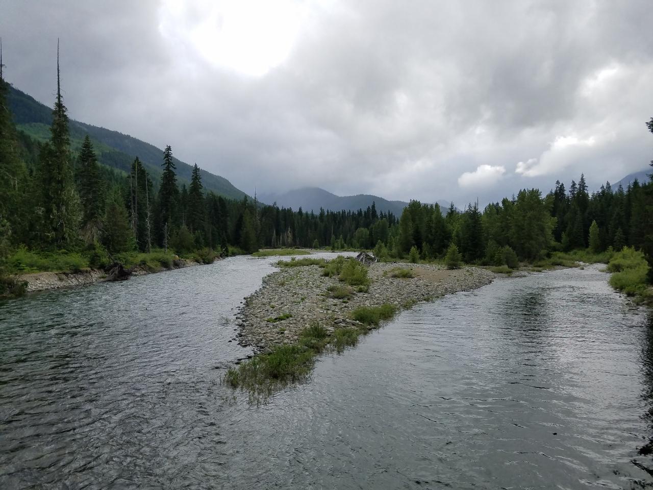
The water is straight snowmelt off the high country around Waptus Lake and the Cooper Lake basin. It runs green over pale granite and river cobble, with a string of pools and slower runs stacked between short riffle sections. Some of the pools hold real depth against the rock walls, which is why the spot has a long history of cliff jumping and rope swinging. Depth shifts year to year as high water moves gravel around, so anyone thinking about jumping should get in and check the landing zone first rather than trusting last summer's memory.
Access is easy by swimming hole standards. Roadside pullouts along Salmon La Sac Road put you within a short scramble of the Cle Elum River, and the Salmon La Sac Trailhead at the end of the spur road has a proper gravel lot. That trailhead lot carries a Forest Service day use fee of $5 per vehicle per day, or $30 for an annual Northwest Forest Pass, and Interagency America the Beautiful passes are honored. The trailhead is the only place in the immediate area where you pay to park for the day. Camping is separate. Salmon La Sac Campground charges $27 a night for a single site, $54 for a double and $11 per extra vehicle, with about 40 of its 69 sites reservable through Recreation.gov and the rest first come, first served. The campground runs late May to mid-September and has vault toilets, potable water, fire rings and picnic tables.
Season matters here more than at most places. Through May and June the Cle Elum runs high, fast and genuinely dangerous, pushed by melt from several thousand feet above. It drops through July, and late July into early September is when the pools settle out and the water becomes tolerable. Tolerable is relative. Even in August this is cold enough to shorten your breath on entry, and the shaded pools under the canopy stay colder than the open ones.
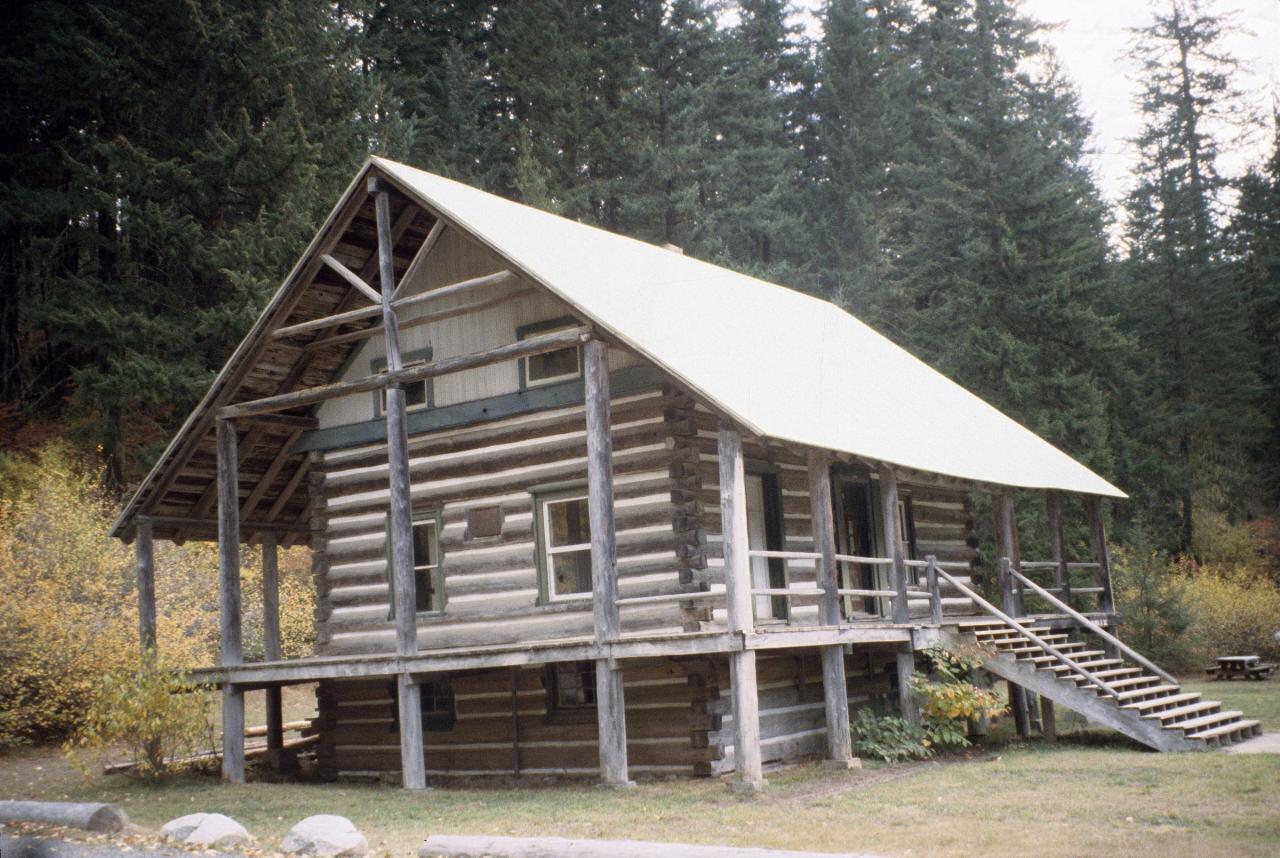
There is more here than the swim. The Cooper River Trail #1311 leaves the trailhead and follows the Cooper River upstream through old growth toward Cooper Lake, on a gentle enough grade to work as a family walk or a mountain bike ride, and it passes quieter pools along the way. Waptus River Trail #1310 and Polallie Ridge Trail #1309 head into the Alpine Lakes Wilderness from the same trailhead. The old Salmon La Sac Guard Station, a Forest Service log building dating to the 1930s, still stands near the river. In winter the road is plowed only as far as the Salmon La Sac Sno-Park.
One current note. The 2026 Three Queens Fire area closure on the Cle Elum Ranger District includes Salmon La Sac Campground and runs through October 31, 2026, so check the Okanogan-Wenatchee alerts page before driving up.
More Information
Cle Elum River Near Roslyn, WA - USGS Water Data for the Nation
Discover water data collected at monitoring location USGS-12479000, located in Kittitas County, Washington and find additional nearby monitoring locations.
https://waterdata.usgs.gov/monitoring-location/USGS-12479000/Okanogan-Wenatchee National Forest | Alerts | Forest Service
An official website of the United States government
https://www.fs.usda.gov/r06/okanogan-wenatchee/alertsOkanogan-Wenatchee National Forest | Cle Elum Ranger District | Forest Service
A 419,554 acre outdoor playground is closer than you think. With 200 days of sunshine, only 20 inches of rain and 80 inches of snow, recreation opportunities are endless. Whether you enjoy the serenity of an alpine lake sunset, wildflowers in spring, vibrant fall colors, or hitting the snowy trails of winter, the Cle Elum Ranger District is the place you can find it, just an hour’s drive from the Puget Sound Metro area.From craggy peaks, to rolling hills, dense forests of Douglas fir and western hemlock in the west, open pine forests in the east, meadows and secluded valleys, the district has many diverse personalities.Recreation opportunities abound here. With 400 miles of non-motorized trails, much of which lies within the Alpine Lakes Wilderness, 400 miles of trails open to motorized use, 300 are single track and 100 double track, 100 miles of groomed snowmobile trails, and 21 miles of set track ski trails offer options for all trail users. Whether you are drawn to jeep trails, secluded valleys or lofty peaks, you won’t be disappointed. Three large reservoirs, each with developed boat ramps offer water sports in spring and early summer.
https://www.fs.usda.gov/r06/okanogan-wenatchee/recreation/cle-elum-ranger-districtOkanogan-Wenatchee National Forest | Cooper River Trail | Forest Service
An official website of the United States government
https://www.fs.usda.gov/r06/okanogan-wenatchee/recreation/trails/cooper-river-trailOkanogan-Wenatchee National Forest | Polallie Ridge Trail | Forest Service
An official website of the United States government
https://www.fs.usda.gov/r06/okanogan-wenatchee/recreation/trails/polallie-ridge-trailOkanogan-Wenatchee National Forest | Salmon La Sac Campground | Forest Service
This popular campground is located between the Cle Elum and Cooper Rivers and offers 69 sites for both tent and RV camping. Some sites pull through for larger vehicles. It's a prime location for hiking, fishing, swimming, and mountain biking in summer and early fall. Approximately 40 of the sites are reservable, and almost 30 sites are first come, first serve. Bears are commonly seen in this area, be sure to store your food/smellable items properly.
https://www.fs.usda.gov/r06/okanogan-wenatchee/recreation/salmon-la-sac-campgroundPacific Northwest Region | Recreation sites where Day Use Fees are charged | Forest Service
Not all site or activities on National Forest lands require a recreation fee to be paid. Check the Forest site locations below to see where they are required. Visit our recreation passes page for more information about the different types of recreation passes!
https://www.fs.usda.gov/r06/passes/recreation-sites-where-day-use-fees-are-chargedSalmon LA Sac, Okanogan-Wenatchee National Forest - Recreation.gov
Explore Salmon LA Sac in Okanogan-Wenatchee National Forest, Washington with Recreation.gov. Salmon La Sac Campground is bordered by the Cle Elum and Cooper Rivers in Okanogan-Wenatchee National Forest. This campground is a popular gathering place
https://www.recreation.gov/camping/campgrounds/232094Be courteous, informed, and prepared. Read trailhead guidelines, stay on the trail, and don't feed the wildlife.
Read More
- Plan Ahead and Prepare
- Travel & camp on durable surfaces
- Dispose of waste properly
- Leave what you find
- Minimize campfire impacts
- Respect wildlife
- Be considerate of other visitors
Directions
From Cle Elum
- Head west toward N Oakes Ave (269 ft)
- Turn right onto N Oakes Ave (171 ft)
- Turn left onto W 2nd St (0.2 mi)
- At the traffic circle, take the 2nd exit onto WA-903 N/
W 2nd St Continue to follow WA-903 N(2.0 mi) - At the traffic circle, take the 1st exit and stay on WA-903 N (1.5 mi)
- Turn left onto W Nevada Ave (0.3 mi)
- Turn right onto WA-903 N/
N 7th St Continue to follow WA-903 N(14.9 mi) - Continue onto Salmon La Sac RdDestination will be on the right(0.2 mi)
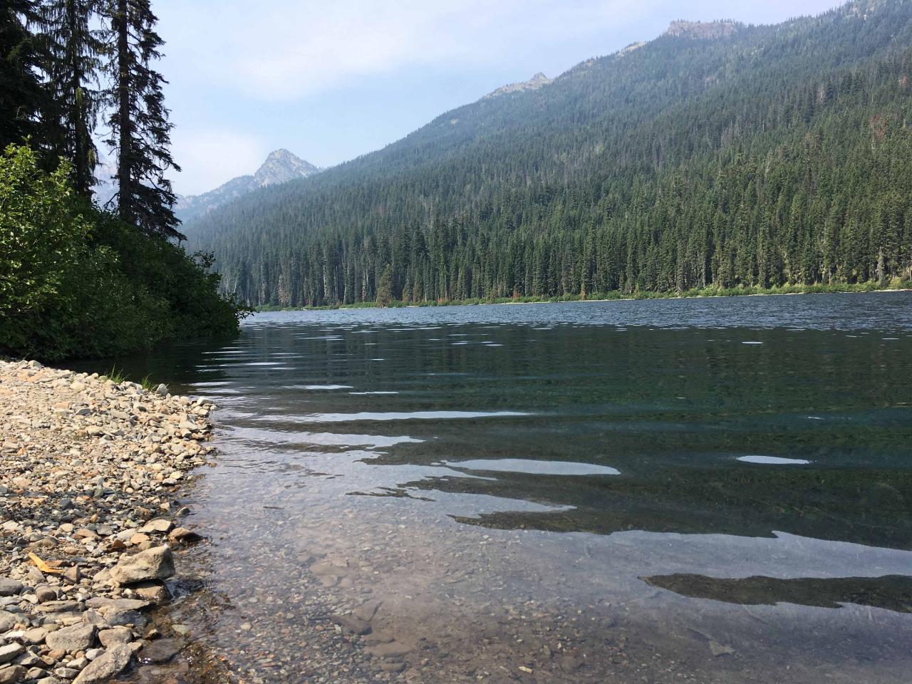
 Looking upstream on the Cle Elum River above Cle Elum Lake, the same green snowmelt water that forms courtesy of ECTran71↗ (CC BY-SA 4.0↗)
 The Forest Service guard station at Salmon La Sac, a log building from the 1930s still standing near courtesy of U.S. Forest Service- Pacific Northwest Region↗ (Public domain↗)
 Cooper Lake, source of the Cooper River that joins the Cle Elum River at Salmon La Sac. courtesy of David Goehring from San Francisco, CA, USA↗ (CC BY 2.0↗)
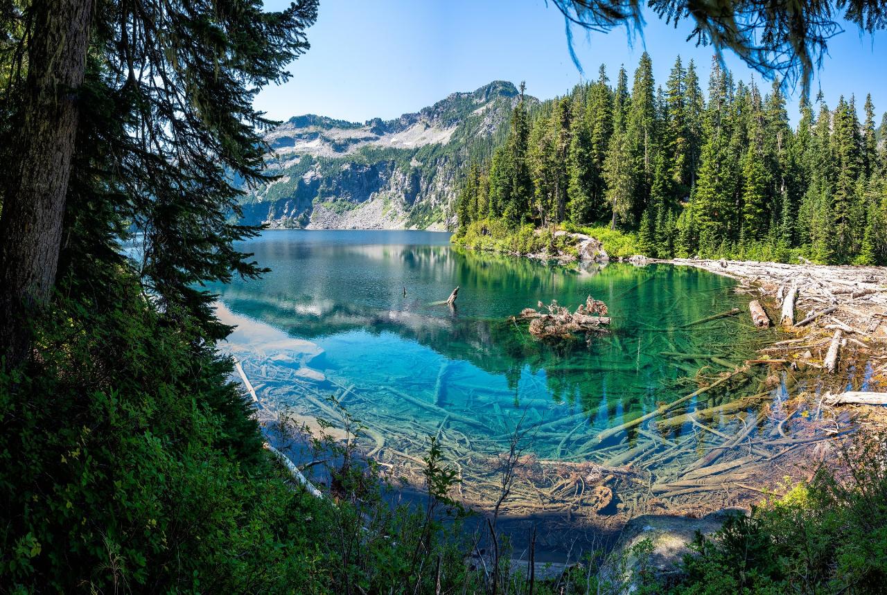
 Waptus Lake in the Alpine Lakes Wilderness, reached by the Waptus River Trail from the Salmon La Sac
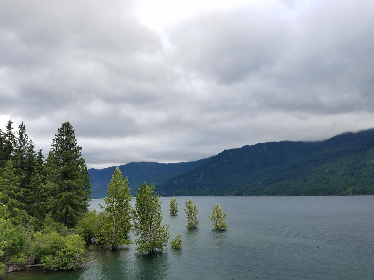
 Cle Elum Lake, the reservoir downstream that the drive up Highway 903 follows on the way to Salmon L courtesy of ECTran71↗ (CC BY-SA 4.0↗)
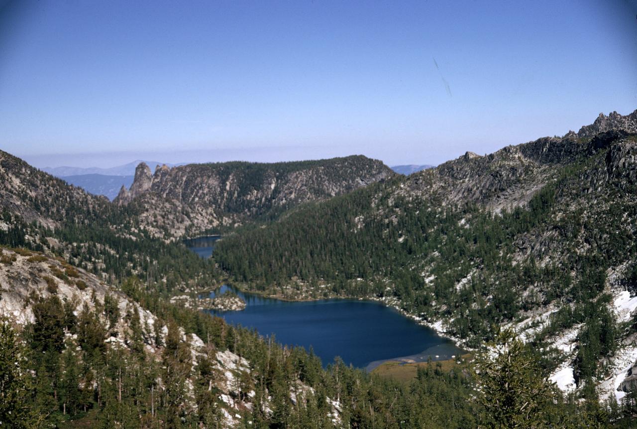
 The Alpine Lakes Wilderness high country that feeds snowmelt into the Cle Elum and Cooper Rivers. courtesy of U.S. Forest Service- Pacific Northwest Region↗ (Public domain↗)
Other Swimming Holes, Hiking Trails, and Kayaking Areas Nearby
French Cabin Creek
Ronald, Washington
3.4 miles STwo cold, clear swimming spots in a National Forest creek on either side of a bridge near Ronald, Washington — clothing may be optional.
Swim
Teanaway River
Cle Elum, Washington
13.9 miles SESwim near Cle Elum, Washington
Swim 7.0 mi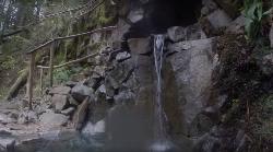
Goldmyer Hot Springs Trail
North Bend, Washington
14.9 miles NWA strenuous 4.5-mile-each-way hike through lush forest to the remote Goldmyer Hot Springs — camping and soaking available by reservation and fee at the springs.
Hike, Hot Springs
Rock Island
Leavenworth, Washington
16.4 miles NESwim near Leavenworth, Washington
Swim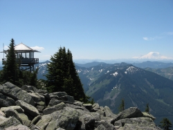
Granite Mountain
North Bend, Washington
18.3 miles WA steep, rewarding hike up Granite Mountain gaining about 1,000 feet per mile, with panoramic summit views of Mount Rainier, Mount Stewart, and the Teanaway — best tackled after the snow melts.
Backpack, Hike
island lake
North Bend, Washington
19.5 miles WA quieter alternative to the crowded Snoqualmie Pass hikes — shed the weekend throngs who turn back at Talapus or Olallie Lake and discover Island Lake in western Washington.
Camp, Hike, Swim
Jade Lake
Skykomish, Washington
22.0 miles NA 26-mile overnight backpacking route through the Snoqualmie region past wildflower meadows, Marmot Lake, and a steep talus scramble to a remote alpine lake for swimming.
Backpack, Camp, Swim
Green River Area
Ronald, Washington
22.5 miles SWSeveral informal swimming spots in the Upper Green River east of Seattle and North Bend — a casual and scenic escape with clothing sometimes optional.
Swim 5.4 mi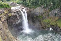
Middle Fork Snoqualmie Trail
North Bend, Washington
22.8 miles NWCLOSED. Closed due to landslide activity.
Hike, Mountain Bike
Taneum Creek
Thorp, Washington
25.5 miles SEA popular swimming hole with a deep front pool and a wide, shallow play area directly above and across the creek — a great combo for mixed groups of swimmers.
Swim
Rainier East Area
Naches, Washington
26.2 miles SSwim near Naches, Washington
Swim 1.5 mi
Twin Falls Trail
North Bend, Washington
28.1 miles WA peaceful 3-mile river hike near North Bend that arrives at a beautiful waterfall viewpoint bridge at the halfway point, open rain or shine with easy access for all ages.
Hike
Snoqualmie River Area
Leavenworth, Washington
31.7 miles WScenic Snoqualmie River swimming areas are best visited in late summer when currents slow — strong currents have caused drownings at other times of year.
Swim
Skykomish Area
Leavenworth, Washington
39.7 miles NWSwim near Leavenworth, Washington
Swim
Skyscraper Mountain Trail
Ashford, Washington
43.5 miles SWA gorgeous day hike to 7,078-foot Skyscraper Mountain in Mount Rainier NP, with unobstructed Cascade Range views, Moraine Peak vistas, and Mystic Lake sightings from the summit.
Hike
Lake Wilderness Park Swim Beach
Maple Valley, Washington
44.2 miles WFree city park beach on Lake Wilderness in Maple Valley with summer lifeguards, canoe and paddleboard rentals, a concession stand, a big playground and a 40-acre arboretum.
Canoe, Hike, Kayak, Swim
Lake Sammamish State Park Beaches
Issaquah, Washington
46.1 miles WSunset Beach and Tibbetts Beach at the south end of Lake Sammamish, a 512-acre state park off I-90 in Issaquah with paddle rentals, playgrounds, trails and a boat launch.
Hike, Kayak, Mountain Bike, Swim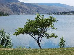
Daroga State Park
Orondo
46.7 miles NEA mile and a half of Columbia River shoreline six miles north of Orondo, with a marked swim beach, a warm shallow lagoon behind the spit, and primitive campsites you can only reach on foot or by boat. Discover Pass required, open April through September.
Camp, Hike, Kayak, Swim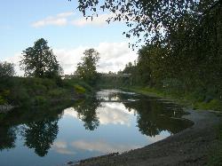
Duvall Beach at McCormick Park
Duvall
47.5 miles NWA sandy river beach on the Snoqualmie at the north end of Duvall's McCormick Park, free and open dawn to dusk, with picnic shelters, a rinse shower and the Snoqualmie Valley Trail at its back. No lifeguards, and the city keeps two life rings on the bank.
Canoe, Hike, Kayak, Swim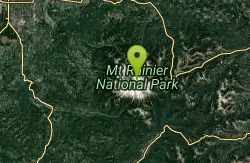
Mount Rainer
Ashford, Washington
47.8 miles SWThe most glaciated peak in the contiguous U.S. at 14,410 feet — an active volcano with six major rivers, subalpine wildflower meadows, ancient forest, and abundant wildlife.
Camp, Hike, Mountain BikeNearby Campsites
island lake
North Bend, Washington
19.5 miles WA quieter alternative to the crowded Snoqualmie Pass hikes — shed the weekend throngs who turn back at Talapus or Olallie Lake and discover Island Lake in western Washington.
Camp, Hike, Swim
Jade Lake
Skykomish, Washington
22.0 miles NA 26-mile overnight backpacking route through the Snoqualmie region past wildflower meadows, Marmot Lake, and a steep talus scramble to a remote alpine lake for swimming.
Backpack, Camp, Swim
Daroga State Park
Orondo
46.7 miles NEA mile and a half of Columbia River shoreline six miles north of Orondo, with a marked swim beach, a warm shallow lagoon behind the spit, and primitive campsites you can only reach on foot or by boat. Discover Pass required, open April through September.
Camp, Hike, Kayak, Swim
Mount Rainer
Ashford, Washington
47.8 miles SWThe most glaciated peak in the contiguous U.S. at 14,410 feet — an active volcano with six major rivers, subalpine wildflower meadows, ancient forest, and abundant wildlife.
Camp, Hike, Mountain Bike


