


Wild Willy's Hot Spring
Mammoth Lakes, California

| Address: | Mono County, CA, United States |
| GPS: |
37°39'32.6"N 118°46'15.3"W Maps | Directions |
| State: | California |
Camp and Hot Springs
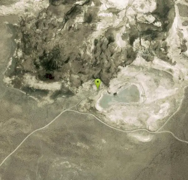
Wild Willy's Hot Springs, also known as Crowley Hot Springs, is a spring located in Long Valley. Long Valley is home to one of the highest concentrations of geothermal surface water in California. Wild Willy's is surrounded by mountains in sagebrush plains, so you get to see a pretty view while you soak and relax in the natural hot springs.
There is a long wooden walkway that's about .2 miles long from where you park that leads you straight to the springs. The surrounding area is wide open with views of the Sierra Nevadas, making it quiet and peaceful if the springs aren't crowded, which they usually are.
There are a few pools here, the larger one attracting more people since it is deeper and has the capacity to accommodate larger groups. The smaller ones are a bit more shallow and are best for a couple people. The smaller pools are also usually hotter, making it feel more like a hot tub. The downside to these hot springs is that it attracts so many visitors because it is free and public.
The water temperature ranges from 95 - 105 degrees, depending on the day.
There are designated camping areas for those who prefer the overnight experience.
More Information
Wild Willy’s Hot Spring Near Mammoth Lakes - California Through My Lens
If you are looking to explore a few hot springs on your trip up Highway 395, then be sure to set aside some time for exploration near Mammoth Lakes. Off Benton Crossing Road, there are no less than six different hot springs (probably more I don’t even know about) that you can drive/walk to. This…
https://californiathroughmylens.com/wild-willys-hot-springs/
Be careful. Pay attention to posted signs and always test the waters before you get in. Some hot springs can get up to boiling temperatures. Be sure to drink plenty of water to combat the dehydrating effect of the spring.
Be respectful of other soakers and the hot spring. Don't hog the pool. Camp at least 200 yards away and keep fires in designated areas. Keep your pets out of the water and never pee in thermal feature. Glass bottles should never go near a hot spring.

- Plan Ahead and Prepare
- Travel & camp on durable surfaces
- Dispose of waste properly
- Leave what you find
- Minimize campfire impacts
- Respect wildlife
- Be considerate of other visitors
Directions
From Mammoth Lakes, California
- Head west (276 ft)
- Turn left toward CA-203 E/Main St (240 ft)
- Turn left onto CA-203 E/Main StContinue to follow CA-203 E(3.1 mi)
- Turn right to merge onto US-395 S (5.4 mi)
- Turn left onto Benton Crossing Rd (0.4 mi)
- Continue onto Minnow Creek (0.1 mi)
- Continue onto Benton Crossing Rd (2.6 mi)
- Turn right (1.2 mi)
Follow the wooden boardwalk off the highway.


Other Hot Springs Nearby

The Rock Tub Hot Springs
Whitmore Hot Springs, California
2.2 miles WRustic rock-walled geothermal tubs of varying size nestled in the Eastern Sierra near Mammoth Lakes — a rejuvenating mineral soak surrounded by pine trees and snow-capped mountains.
Hot Springs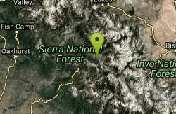
Mono Hot Springs
Lakeshore, California
26.7 miles SWMono Hot Springs is a magical high-Sierra retreat in California's Sierra National Forest, where natural hot springs bubble up along the South Fork of the San Joaquin River deep in the mountains...
Hot Springs, SwimNearby Campsites

Crowley Lake Campground
Crowley Lake, California
6.0 miles SNestled in the stunning Eastern Sierra near Crowley Lake, this BLM campground offers first-come, first-served sites for tents, RVs, and trailers with breathtaking high-desert views.
Camp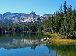
Crystal Lake
Mammoth Lakes, California
13.7 miles WA 3.2-mile roundtrip Sierra day hike past Lake George, Lake Marie, and Lake Mamie, ending at Crystal Lake beneath the monolith Crystal Crag — shaded trail with room to swim, fish, or picnic lakeside.
Camp, Hike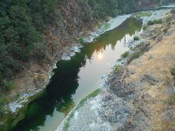
Standish Hickey Area
Lakeshore, California
26.7 miles SWA two-mile stretch of the south fork of the Eel River inside a redwood canyon 180 miles from San Francisco — swim, kayak, fish, or hike, then camp near the 1,200-year-old Captain Miles Standish Tree.
Backpack, Camp, Hike, Kayak, Swim 4.0 mi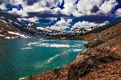
Saddlebag Lake
Lee Vining, California
34.6 miles NWAt 10,008 ft, this Eastern Sierra alpine lake offers exceptional trout fishing, a scenic four-mile loop, and a water taxi into the heart of the Twenty Lakes Basin.
Camp, Canoe, Hike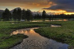
Tuolumne Meadows
Tuolumne County, California
34.8 miles NWA stunning alpine meadow in the high Sierra with granite domes and mountain views, the meandering Tuolumne River, and access to Yosemite backcountry — open summer only when the park road is clear.
Camp, Hike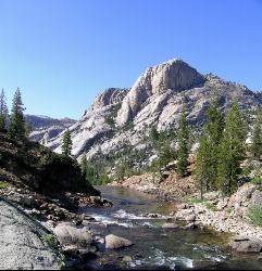
Glen Aulin
Glen Aulin, California
39.3 miles NWA popular introductory Yosemite High Country backcountry hike following the Tuolumne River to a High Sierra Camp beside the White Cascade waterfall, with further options to Waterwheel Falls.
Backpack, Camp, Hike, Swim 6.1 mi
Glen Aulin
Wawona, California
39.3 miles NWAn 11-mile hike along the Tuolumne River to Glen Aulin with 800 feet of gain, passing Tuolumne Falls, Soda Springs, wildflower meadows, and the stunning White Cascade.
Backpack, Camp, Hike 5.7 mi
Ten Lakes
Tuolumne Meadows, Yosemite National Park
44.2 miles WA 6.4-mile hike from Yosemite Creek to three of the Ten Lakes Basin's seven lakes, through wildflower meadows, forests, and past the Grand Canyon of the Tuolumne, gaining 2,200 feet.
Backpack, Camp, Hike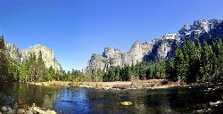
Merced River
Yosemite Valley, Yosemite National Park
44.8 miles WThe Merced River circles Yosemite Valley with whitewater, swimming holes, gold-panning spots, and unbeatable views of Yosemite Falls and Glacier Point at every bend.
Camp, Swim, Whitewater
Bass Lake Recreation Area
Oakhurst, California
49.2 miles SWWarm Sierra reservoir at 3,400 feet with Forest Service beaches and campgrounds, a waterfall trail at the north end, and Yosemite's south gate twenty miles up the road.
Camp, Canoe, Hike, Kayak, Swim


