


Antelope Island State Park
Syracuse, Utah
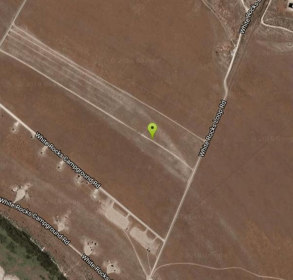
| Address: | ~White Rocks Loop Rd, Syracuse, UT 84075, USA |
| GPS: |
41°1'42.5"N 112°14'22.8"W Maps | Directions |
| State: | Utah |
| Trail Length: | 30.00 miles |
| MTB Difficulty: | Intermediate |
| Trail Type: | Network |
| MTB Trail Type: | 4x4 Trail |
Trails Rocks Bicycles Motorized Use State Park
Backpack, Camp, Hike, Horseback, and Mountain Bike
Located just 41 miles north of Salt Lake City, Antelope Island State Park encompasses a vast selection of outdoor activities and spectacular scenery providing a peaceful nature experience. Experience stunning 360-degree views as you drive around the State Park or try other activities such as exploring the roughly 20 miles of trails open for hiking, biking, and running or horseback riding. Picnic tables and designated campsites are available though RV hookups are not provided.
Enjoy the water as you kayak, fish, sail, or swim off of the Great Salt Lake’s largest island. Wild animals such as antelope, birds, bison, bobcats, coyotes, deer, and horned sheep roam freely and claim Antelope Island home. Watching the wildlife is a must. Be sure to take caution around wildlife and keep your distance. Do not touch or feed wildlife.
Absorb the beauty of nature through spectacular sunrises, sunsets, and the spectacular night sky. The Visitor Center includes publications, restrooms, and exhibits for all to enjoy. The best times of year for exploring Antelope Island are early spring an late fall. Beware of the bug situation in late spring and early summer. Bug spray is mandatory. Don't forget to bring drinking water as well to stay hydrated during your adventures.
More Information
Antelope Island State Park Mountain Bike Trail in Syracuse, Utah - Directions, Maps, Photos, and Rev
Antelope Island State Park is a singletrack mountain bike trail in Syracuse, Utah. View maps, videos, photos, and reviews of Antelope Island State Park bike trail in Syracuse.
http://www.singletracks.com/bike-trails/antelope-island-state-park/Antelope Island State Park | Utah.com
Welcome to Antelope Island State Park. Hike, bike, or horseback ride on the network of trails or camp overnight. See buffalo, bighorn sheep, and antelope.
https://www.utah.com/destinations/state-parks/antelope-island-state-park/playindavis.com
No webpage was found for the web address: https://playindavis.com/antelope-island-state-park-great-salt-lake/
https://playindavis.com/antelope-island-state-park-great-salt-lake/Never modify trail features. Ride trails when they're dry enough that you won't leave ruts. Speak up when you see others on the trail and always yield to hikers, horses, and others coming uphill. Always ride on the established trail.
Read MoreBe courteous, informed, and prepared. Read trailhead guidelines, stay on the trail, and don't feed the wildlife.
Read More
- Plan Ahead and Prepare
- Travel & camp on durable surfaces
- Dispose of waste properly
- Leave what you find
- Minimize campfire impacts
- Respect wildlife
- Be considerate of other visitors
Directions
From Syracuse, Utah
- Head south on S 2000 W toward W 1700 S (46 ft)
- Turn right at the 1st cross street onto W 1700 S (3.3 mi)
- Continue onto Antelope Island Rd (7.2 mi)
- Continue straight to stay on Antelope Island Rd (1.0 mi)
- Turn left onto Antelope Island Rd/Buffalo Pens RdContinue to follow Buffalo Pens Rd(0.5 mi)
- Slight right onto White Rocks Campground Rd (364 ft)
- Slight right onto White Rocks Loop Rd (0.4 mi)
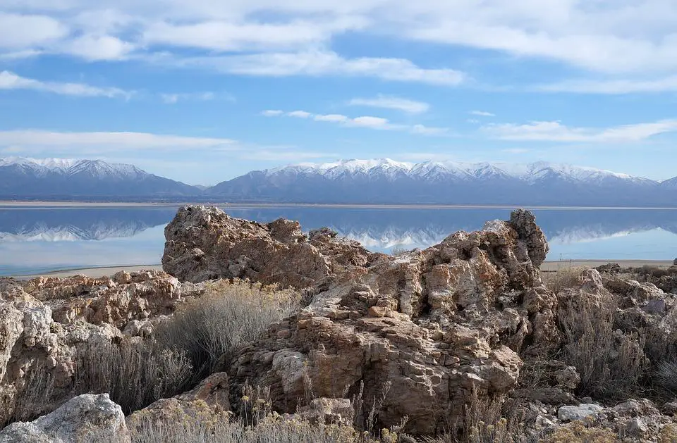
 Antelope Island, Utah courtesy of Max Pixel↗
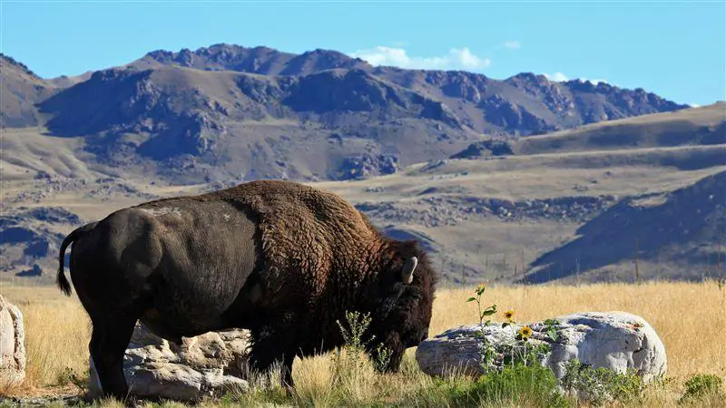 Antelope Island courtesy of AnnicaB↗
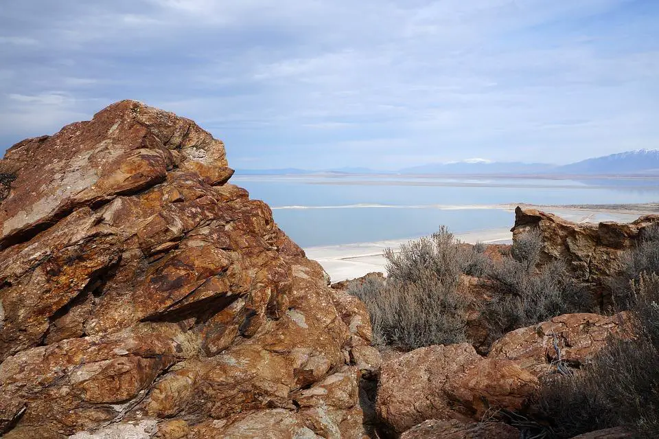 Antelope Island State Park courtesy of M01229↗
 Antelope Island encompasses vast running trails courtesy of Brandon Flint↗
 Frary Peak Antelope Island courtesy of Trails Trekker↗
 Antelope Island from The Lady Finger Trail courtesy of Shadowwolf32↗


Other Mountain Bike Trails, Hiking Trails, Horseback Trails, and Backpacking Trails Nearby

White Rock Loop
Syracuse, Utah
0.5 miles WAn easy loop around Antelope Island with sweeping landscape views, wildlife like bison and birds, and leashed-dog access — no shade, so pack sunscreen.
Hike, Mountain Bike, Snowshoe 5.6 mi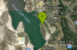
Antelope Island Lakeside Trail
Syracuse, Utah
0.7 miles NEAn easy 2-hour loop on Antelope Island around the Great Salt Lake, with rock formations, views of the Sierra Nevadas, and the GSL — kid-friendly and good for bug fans.
Camp, Hike, Horseback 6.2-16.2 mi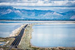
Antelope Island
Syracuse, Utah
1.9 miles NThe largest island in the Great Salt Lake, home to 500 bison, pronghorn, and bighorn sheep — with backcountry hiking, biking, horseback riding, and cross-country skiing across scenic rangelands.
Hike, Horseback, Mountain Bike 16.6 mi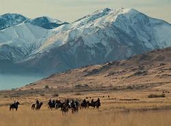
Antelope Island Figure 8
Layton, Utah
5.0 miles SSmooth, open trail across Antelope Island's backcountry with awesome rock formations and desert silence — best ridden in spring and fall; nearly zero shade, so beat the heat and yield to horses and runners.
Hike, Mountain Bike, Snowshoe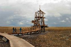
Great Salt Lake Shorelands Preserve
Layton, Utah
11.2 miles EThe Great Salt Lake Shorelands Preserve is a hidden gem on the eastern edge of the Great Salt Lake near Layton, Utah, where a mile-plus of boardwalk floats out over a living wetland that most people...
Hike, Mountain Bike 1.8 mi
Gailey Trail At Nicholls Park (Nicholls Hollow)
Kaysville, Utah
16.4 miles EA four-season nature trail through shady cottonwoods with bridges over streams, gorgeous autumn leaves, and a snowy winter transformation — perfect for walking, running, or biking.
Hike, Mountain Bike
Adams Canyon Waterfall
Layton, Utah
17.4 miles EAdams Canyon is easily the most popular hike in Layton, Utah, and one of the best-loved waterfall hikes on the Wasatch Front, a lush canyon climb that leads to not one but two beautiful waterfalls...
Hike
Riverdale Parkway
Ogden, Utah
17.5 miles NEA paved riverside trail in Ogden that quickly transitions into a fun singletrack network — all skill levels, year-round access, and dogs welcome on leash; watch for flying frisbees.
Mountain Bike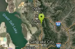
Bonneville Shoreline Trail - Layton Section
Kaysville, Utah
17.5 miles EA close-to-town singletrack mix of open exposed sections, twisty tree-threading, a couple of spooky drops, creek crossings, and great valley views — with a gun range audible below.
Mountain Bike 0.8-2.0 mi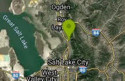
Farmington Creek trail
Farmington, Utah
18.4 miles EA multi-destination Farmington trail connecting a fishing pond, Lagoon amusement park, a small zoo with elk and bison, and scenic downtown Farmington — open to bikes, rollerblades, and foot traffic.
Hike, Mountain Bike, Skateboard 6.4 mi
Farmington Canyon
Farmington, Utah
18.5 miles EA four-season canyon road and trail system near Farmington with vibrant autumn colors, access to Francis and Bountiful Peaks, two campgrounds, and sweeping views of Kaysville and the Great Salt Lake.
Hike, Mountain Bike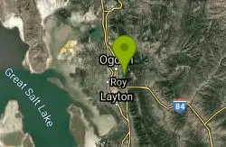
Bonneville Shoreline Trail, Ogden, UT, USA
Ogden, Utah
20.3 miles NEBackpack, Hike, and Mountain Bike near Ogden, Utah
Backpack, Hike, Mountain Bike
Parrish Canyon Trail
Centerville, Utah
20.8 miles EA Wasatch foothills trail connecting to Barnard Creek with views of Salt Lake City from the summit, wildlife to spot, pictographs on rocks in spring and summer, and a bridge as an easy turnaround for young hikers.
Hike, Mountain Bike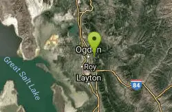
Bonneville Shoreline Ogden South Of 12th
Ogden, Utah
21.1 miles NEThe most popular trail in Ogden — a mostly easy shoreline ride with a few rocky technical sections, great for pre- and post-season riding when summer heat makes it less ideal.
Mountain Bike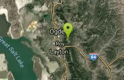
Needles
Ogden, Utah
22.2 miles NEA well-marked mountain bike trail network at Snowbasin Resort near Ogden — bone-jarring small-rock singletrack with moose in the lower regions and gondola-accessible terrain.
Mountain Bike
Wild Rose Trailhead Park
North Salt Lake, Utah
22.8 miles SESeveral singletrack and downhill trails in North Salt Lake's Wild Rose park — from a beginner-friendly 2.5-mile loop to technical bermed descents — with access from the Bonneville Shoreline Trail.
Mountain Bike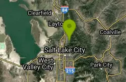
Holbrook Trailhead
Bountiful, Utah
23.0 miles SEThe Holbrook Trailhead is a popular access point for the Bonneville Shoreline Trail and Holbrook Canyon above Bountiful, Utah, on the western face of the Wasatch. Perched on the bench right at the...
Airsoft, Backpack, Camp, Paintball, Snowshoe
Bonneville Shoreline Trail - Ogden Section
North Ogden, Utah
23.2 miles NEClimb as high as you like and turn around, or make a loop via the killer Beus Canyon descent — fast, furious, and lush for Utah terrain.
Mountain Bike
Bonneville Shoreline
North Ogden, Utah
23.2 miles NEAn out-and-back mountain bike trail with three creek crossings — one ride-through — and a mix of short climbs and brief technical sections perfect when other trails are muddy.
Mountain Bike
Coldwater Canyon Overlook
Ogden, Utah
23.7 miles NEA scenic out-and-back with a spectacular Ogden Canyon overlook at the top — the downhill is a blast but go off-peak to avoid hikers and horseback riders.
Mountain BikeNearby Campsites
Antelope Island Lakeside Trail
Syracuse, Utah
0.7 miles NEAn easy 2-hour loop on Antelope Island around the Great Salt Lake, with rock formations, views of the Sierra Nevadas, and the GSL — kid-friendly and good for bug fans.
Camp, Hike, Horseback
Holbrook Trailhead
Bountiful, Utah
23.0 miles SEThe Holbrook Trailhead is a popular access point for the Bonneville Shoreline Trail and Holbrook Canyon above Bountiful, Utah, on the western face of the Wasatch. Perched on the bench right at the...
Airsoft, Backpack, Camp, Paintball, Snowshoe 2.9 mi
Pineview Reservoir
Eden, Utah
28.3 miles NEA stunning Wasatch reservoir with three sandy beaches, boating, kayaking, paddleboarding, water skiing, and 18 miles of paved trail — the ultimate summer base behind the Ogden front.
Camp, Canoe, Hike, Kayak, Mountain Bike, Swim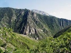
Mill Creek Canyon
Salt Lake City, Utah
35.7 miles SEAn out-and-back canyon trail with over 1,000 feet of elevation gain — the lower ski trail sees heavy traffic while the upper section above Elbow Fork stays quiet, with a reservable Yurt at the top December through April.
Camp, Cross-country Ski, Snowshoe
Spruces Campground
Salt Lake City, Utah
41.3 miles SEA fee campground in Big Cottonwood Canyon near Salt Lake City — check USDA.gov for current rates and seasonal availability.
Camp, Sled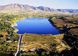
Hyrum State Park
Hyrum, Utah
45.6 miles NESwim beach and campground on a 450 acre irrigation reservoir in Cache Valley, with the Wellsville Mountains filling the view west.
Camp, Canoe, Hike, Kayak, Swim


