


Buford Dam Park Beach (Lake Lanier)
Buford, Georgia

Hike, Kayak, and Swim
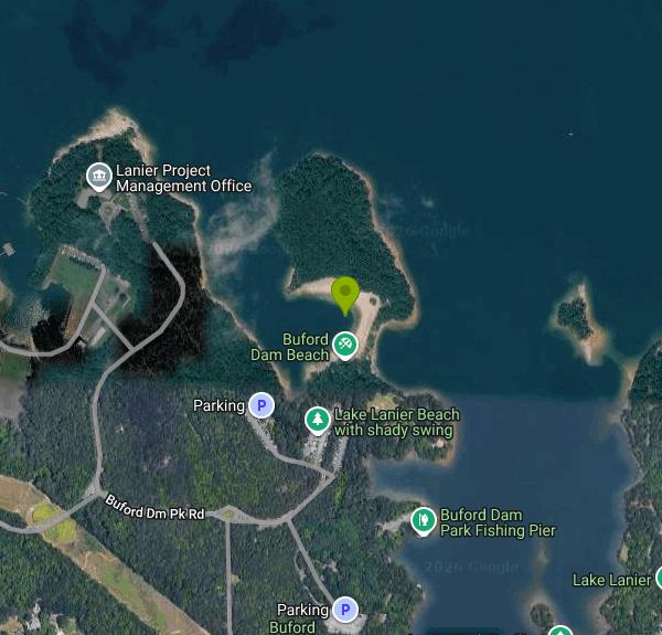
Buford Dam Park is the Army Corps of Engineers day-use park tucked against the north side of Buford Dam, the earthen dam that holds back Lake Lanier. Its swim beach is small and sandy and sits in a cove that is closed to boats and jet skis, which on a lake with 38,000 acres of water and famously heavy wake-boat traffic is the main thing to know about it: the water inside the buoys stays flat. The sand is trucked in and raked, the swim area is marked with buoys, and there is a grassy slope with shade trees above it where most families set up. Restrooms and a rinse-off spigot are a short walk up the hill. The beach faces the lake's lower basin, the deepest and clearest part of Lanier, and slopes gently out from the sand. There are no lifeguards.
The park has a fishing pier, a boat ramp, playgrounds, a basketball court, a soccer field, restrooms and a set of picnic shelters that reserve through recreation.gov from March through September for $50 to $90 a day. The Corps charges $8 per vehicle for day use, or $3 for anyone walking or biking in, and the annual Corps day-use pass covers it. Gates are open 8 a.m. to 10 p.m. Pets are not allowed in the park at all, which is unusual for Lanier and worth planning around.
The Laurel Ridge Trail starts in the park and loops about 3.8 miles along the ridge above the dam and down to the Lower Overlook and the powerhouse on the Chattahoochee River side. It is an easy, mostly shaded walk with several lake views and the best look at the dam itself. Buford Dam was built between 1950 and 1956, stands 192 feet high, and generates power on demand, so the river below it rises fast and without much warning; sirens sound before releases, and the tailwater runs a steady 52 degrees, cold enough that the state stocks trout in it year round. The Lower Pool and Upper Overlook parks across the dam are the places to see that side.
Lake Lanier is metro Atlanta's water supply and its playground, with 690 miles of shoreline, and the Corps parks along the south end fill on summer weekends. Buford Dam Park's beach is smaller and quieter than the ones at Lanier Islands or West Bank, and it draws families from Buford and Cumming who want a swim without the marina crowd. The park is at 1200 Buford Dam Road, about six miles from downtown Buford and five from Cumming; the park office is 770-945-9531.
More Information
Be courteous, informed, and prepared. Read trailhead guidelines, stay on the trail, and don't feed the wildlife.
Read More
- Plan Ahead and Prepare
- Travel & camp on durable surfaces
- Dispose of waste properly
- Leave what you find
- Minimize campfire impacts
- Respect wildlife
- Be considerate of other visitors
Directions
From Buford, Georgia
- Head southwest on E Jones Alley toward S Harris St (30 ft)
- Turn right onto S Harris St (144 ft)
- Turn left onto E Main St NE (0.3 mi)
- Turn right onto N Church St (269 ft)
- Continue onto Little Mill Rd (2.0 mi)
- At the traffic circle, take the 2nd exit onto Buford Dam Rd (3.8 mi)
- Turn right onto Buford Dm Pk (0.2 mi)
- Continue onto Lanier Office Rd (246 ft)
- Turn right onto Buford Dm Pk Rd (0.3 mi)
- Turn left (121 ft)
- Turn right (341 ft)


Other Swimming Holes, Hiking Trails, and Kayaking Areas Nearby
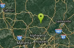
Pooles Mill
Ball Ground, Georgia
13.8 miles NWSwim near Ball Ground, Georgia
Swim 2.4 mi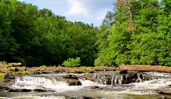
Edge Of The World
Dawsonville, Georgia
20.4 miles NWA scenic 3-mile hike along the Amicalola River to a family-friendly swimming hole and small waterfall near Atlanta.
Hike, Swim 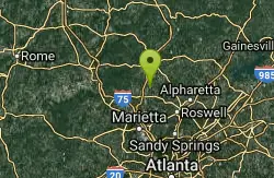
Mill Creek
Woodstock, Georgia
25.1 miles WSwim near Woodstock, Georgia
Swim 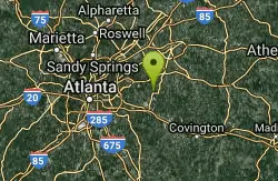
Yellow River Park
Stone Mountain, Georgia
25.6 miles SSwim near Stone Mountain, Georgia
Swim 
Diving Rock
Atlanta, Georgia
28.7 miles SWA 25-foot granite diving rock, a riverside beach, and cool, clear water on the Chattahoochee — a classic Atlanta swimming hole.
Swim 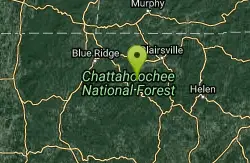
Chattahoochee National Park
Cave Spring, Georgia
42.6 miles NSwim near Cave Spring, Georgia
Swim 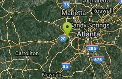
Sweetwater Creek State Park
Lithia Springs, Georgia
42.8 miles SWSwim near Lithia Springs, Georgia
Swim 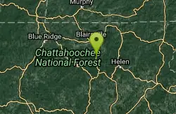
Vogle State Park
Blairsville, Georgia
42.9 miles NA 233-acre park at the base of Blood Mountain in the Chattahoochee National Forest — one of Georgia's first state parks, founded in 1931.
Camp, Canoe, Swim


