


Lanier Park
Buford
Hike, Kayak, and Swim
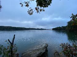
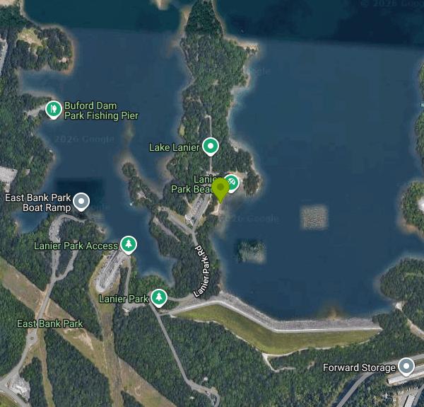
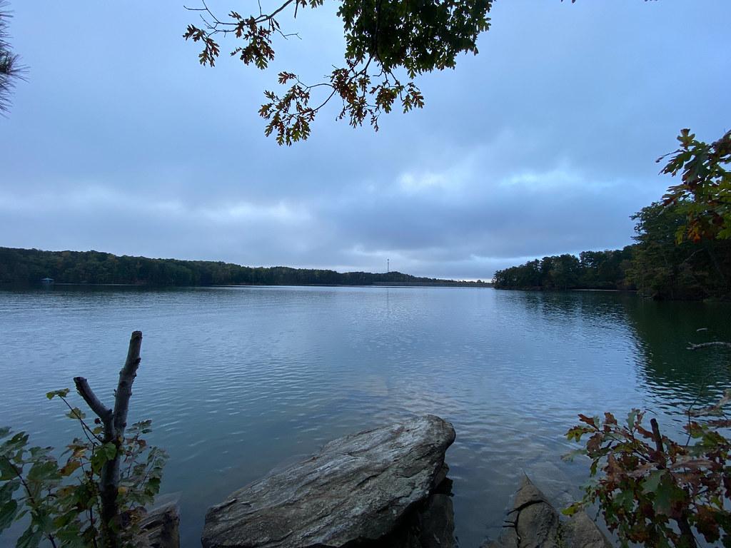
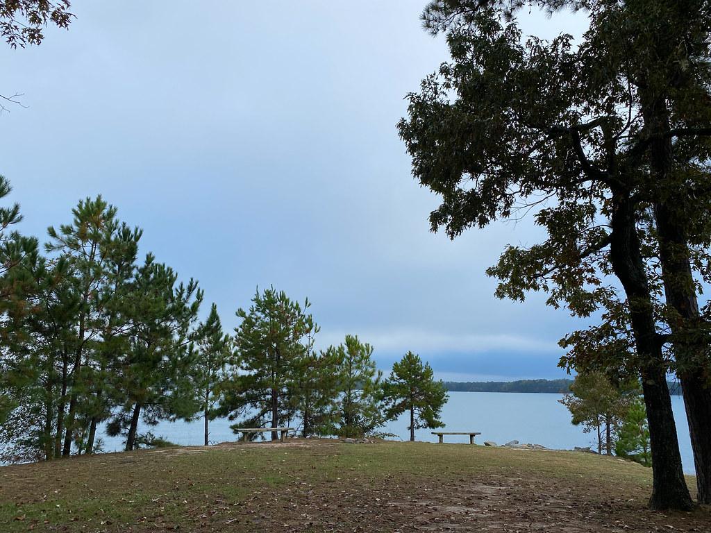
Lanier Park is a U.S. Army Corps of Engineers day-use park on the south end of Lake Sidney Lanier, just north of Buford Dam. The Corps' Mobile District runs it as one of its fee parks on the reservoir, and its main draw for swimmers is a small designated swim beach tucked into a cove on the park's east side, with picnic tables and grills spread through the pines behind it. The lake is the big Chattahoochee River impoundment north of Atlanta, and this end of it sits close to Buford, Sugar Hill and Suwanee.
The park entrance is at 1360 Buford Dam Road in Buford. From Georgia 400, take exit 14, head east on Highway 20, turn left on Sanders Road and then right on Buford Dam Road; after crossing the dam, turn left at the Lanier Park sign. From I-85, take exit 111 and follow Lawrenceville-Suwanee Road north about 10 miles to Buford Dam Road, turn right, then left at the sign. Lanier Park Road leads past the fee kiosk to several paved lots, and the lots nearest the water put you within a short walk of the sand. Parking is first come, first served, and the lots fill early on hot summer weekends.
The swim area is a short stretch of sand on a sheltered cove, much calmer than the open lake where boat wakes roll in. Lake Lanier is a deep reservoir, so the bottom shelves off from sandy shallows into much deeper water, and swimmers should stay inside the marked area. There are no lifeguards at any Corps beach on Lanier, so swimming is entirely at your own risk and children need an adult watching them. Surface water is typically in the 80s (F) by midsummer and cool again by October. The Corps lists day-use park hours as 8 a.m. to 10 p.m. daily, and some parks close fully or partly in winter.
Lanier Park is not free. The Corps fee schedule lists $8 per vehicle and $3 per pedestrian or cyclist, with the same $8 charged to launch a boat. Payment is made at a card-only kiosk, and a USACE annual day-use pass ($40) is honored. Shelter reservations through Recreation.gov do not cover the day-use fee. Pets, alcohol and fireworks are prohibited in the park, as are amplified music and P.A. systems.
Lake Lanier has a long record of drownings, almost all of them outside designated swim areas or from boats, so the cove is the place to swim and the open water is not. Lake levels rise and fall with drought and dam releases, which can widen or shrink the beach from year to year. The Corps has closed Lanier parks for staffing shortfalls and during federal shutdowns, so check current status before a long drive.
Beyond the beach, the park has a boat ramp, restrooms, a reservable group shelter with lake views, and access to the Laurel Ridge Trail, a 3.5-mile loop that links the parks around Buford Dam and looks out over both the lake and the Chattahoochee River below the dam. Buford Dam Park, with its own swim beach and playground, is next door.
More Information
Lanier Park on Lake Lanier
Lanier Park is easy to find from Buford Dam Drive, near Buford Dam. Picnic tables, wide-open spaces, walking paths and a gorgeous beach are all you'll need for a dandy day on Lake Lanier.
https://lakelanier.com/directory/parks/lanier-park/Lanier Park Shelter (GA), Lake Sidney Lanier - Recreation.gov
Explore Lanier Park Shelter (GA) in Lake Sidney Lanier, Georgia with Recreation.gov. Lanier Park lies just north of Buford Dam on Lake Sidney Lanier. The site features beautiful views of the lake as well as excellent access to swimming, picnick
https://www.recreation.gov/camping/campgrounds/251926Lanier Park, Georgia boat ramp and access | How's Your River
Public boat ramp and water access at Lanier Park on Chattahoochee River - Lake Lanier in Georgia. Map, directions, nearby USGS conditions, and amenities.
https://www.howsyourriver.com/access_sites/lanier-parkNew Jointly Managed Lake Lanier Parks | Hall County, GA - Official Website
Visitor information for the newly jointly managed Lake Lanier day-use parks and water access points operated in partnership between Hall County Government and the U.S. Army Corps of Engineers. Learn about fees, passes, park access, shelter reservations, pet policies, boat ramp updates, and more.
https://www.hallcounty.org/1346/New-Jointly-Managed-Lake-Lanier-ParksSwimming in Lake Lanier - Lake Lanier
Beaches and Designated Swim Areas The Corps operates 20 designated swim areas around the 38,000 acres of Lake Lanier. You’ll find imported white sandy beaches at some of these, and each has its own features. Click on the links to find out more information about …
https://lakelanier.com/swimming/USACE Announces Various Lake Lanier Park Closures, County Operated Parks Remain Open - Forsyth Count
Following an announcement on Oct. 31, 2025, the United States Army Corps of Engineers (USACE) has announced the immediate and indefinite closure of the following USACE-operated parks in Forsyth County due to the ongoing Federal government shutdown impact ...
https://www.forsythco.com/news/2025/10/usace-announces-various-lake-lanier-park-closures-county-operated-parks-remain-open/Be courteous, informed, and prepared. Read trailhead guidelines, stay on the trail, and don't feed the wildlife.
Read More
- Plan Ahead and Prepare
- Travel & camp on durable surfaces
- Dispose of waste properly
- Leave what you find
- Minimize campfire impacts
- Respect wildlife
- Be considerate of other visitors
Directions
From Buford
- Head southwest on E Jones Alley toward S Harris St (30 ft)
- Turn right onto S Harris St (144 ft)
- Turn left onto E Main St NE (0.3 mi)
- Turn right onto N Church St (269 ft)
- Continue onto Little Mill Rd (2.0 mi)
- At the traffic circle, take the 2nd exit onto Buford Dam Rd (2.6 mi)
- Turn right onto Lanier Park Rd (0.6 mi)
- Turn rightDestination will be on the right(341 ft)


Other Swimming Holes, Hiking Trails, and Kayaking Areas Nearby

Buford Dam Park Beach (Lake Lanier)
Buford, Georgia
0.5 miles NWSmall sandy swim beach in a no-boat cove at the Corps of Engineers' Buford Dam Park on Lake Lanier, with shelters, a fishing pier and the Laurel Ridge Trail.
Hike, Kayak, Swim
Van Pugh North Park
Flowery Branch
5.0 miles NECorps of Engineers day-use park on Lake Lanier near Flowery Branch with a designated swim beach at the end of the park road. $8 per vehicle, card only, no lifeguards, no pets.
Kayak, Swim
Bolding Mill Park
Gainesville
14.3 miles NEA Corps of Engineers park on Lake Lanier's Chestatee arm near Gainesville with a designated swim beach built on a gentle concrete slope, plus shelters, a boat ramp and a campground. Corps day-use fee applies.
Camp, Kayak, Swim
Pooles Mill
Ball Ground, Georgia
14.3 miles NWSwim near Ball Ground, Georgia
Swim 2.4 mi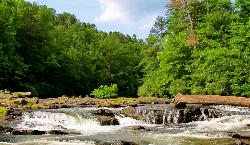
Edge Of The World
Dawsonville, Georgia
20.9 miles NWA scenic 3-mile hike along the Amicalola River to a family-friendly swimming hole and small waterfall near Atlanta.
Hike, Swim
Yellow River Park
Stone Mountain, Georgia
25.2 miles SSwim near Stone Mountain, Georgia
Swim
Mill Creek
Woodstock, Georgia
25.4 miles WSwim near Woodstock, Georgia
Swim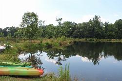
Pine Lake Beach
Pine Lake
26.4 miles SA free municipal sand beach on a creek-fed lake in Pine Lake, the smallest city in DeKalb County, two and a half miles west of Stone Mountain. Roped swim area, no lifeguard, open June through September with no admission fee.
Canoe, Kayak, Swim
Diving Rock
Atlanta, Georgia
28.7 miles SWA 25-foot granite diving rock, a riverside beach, and cool, clear water on the Chattahoochee — a classic Atlanta swimming hole.
Swim
Sweetwater Day Use Area
Canton
29.8 miles WA Corps of Engineers sand beach and roped swim area on a quiet cove of Allatoona Lake west of Canton, with a $5 per vehicle day use fee and no lifeguards.
Camp, Canoe, Kayak, Swim
Galt's Ferry Day Use Area
Acworth
33.8 miles WCorps of Engineers beach park on the south shore of Allatoona Lake near Acworth, with a roped, unguarded swim area, fishing jetty and boat ramp. $5 per vehicle, card only.
Canoe, Kayak, Swim
Lake Russell Recreation Area
Mt Airy
39.5 miles NEA grass swim beach on 100-acre Lake Russell in the Chattahoochee-Oconee National Forest near Mt. Airy, with a $5 per vehicle Forest Service day-use fee and no gas motors on the lake.
Camp, Canoe, Hike, Kayak, Swim
Sweetwater Creek State Park
Lithia Springs, Georgia
42.9 miles SWSwim near Lithia Springs, Georgia
Swim
Chattahoochee National Park
Cave Spring, Georgia
43.0 miles NSwim near Cave Spring, Georgia
Swim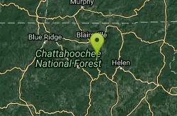
Vogle State Park
Blairsville, Georgia
43.2 miles NA 233-acre park at the base of Blood Mountain in the Chattahoochee National Forest — one of Georgia's first state parks, founded in 1931.
Camp, Canoe, Swim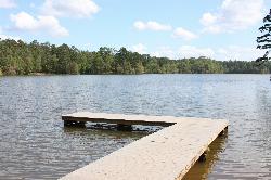
Lake Rutledge Beach
Rutledge
44.3 miles SEA roped sand swim beach on 274-acre Lake Rutledge in Hard Labor Creek State Park near Rutledge, Georgia. Open 7 a.m. to sunset; the only cost is the $10 Georgia State Parks ParkPass.
Camp, Canoe, Hike, Kayak, SwimNearby Campsites
Bolding Mill Park
Gainesville
14.3 miles NEA Corps of Engineers park on Lake Lanier's Chestatee arm near Gainesville with a designated swim beach built on a gentle concrete slope, plus shelters, a boat ramp and a campground. Corps day-use fee applies.
Camp, Kayak, Swim
Sweetwater Day Use Area
Canton
29.8 miles WA Corps of Engineers sand beach and roped swim area on a quiet cove of Allatoona Lake west of Canton, with a $5 per vehicle day use fee and no lifeguards.
Camp, Canoe, Kayak, Swim
Lake Russell Recreation Area
Mt Airy
39.5 miles NEA grass swim beach on 100-acre Lake Russell in the Chattahoochee-Oconee National Forest near Mt. Airy, with a $5 per vehicle Forest Service day-use fee and no gas motors on the lake.
Camp, Canoe, Hike, Kayak, Swim
Vogle State Park
Blairsville, Georgia
43.2 miles NA 233-acre park at the base of Blood Mountain in the Chattahoochee National Forest — one of Georgia's first state parks, founded in 1931.
Camp, Canoe, Swim
Lake Rutledge Beach
Rutledge
44.3 miles SEA roped sand swim beach on 274-acre Lake Rutledge in Hard Labor Creek State Park near Rutledge, Georgia. Open 7 a.m. to sunset; the only cost is the $10 Georgia State Parks ParkPass.
Camp, Canoe, Hike, Kayak, Swim


