


Butcher Jones Beach
Fort McDowell
Hike, Kayak, and Swim
Butcher Jones Beach is the swimming beach at the Butcher Jones Day Use Area, a Tonto National Forest picnic and beach site on the north shore of Saguaro Lake, managed by the Mesa Ranger District. Saguaro Lake is the fourth and lowest of the reservoirs on the Salt River, held back by Stewart Mountain Dam, and the beach sits at the head of a small cove walled in by tan and red cliffs, with saguaros on the slopes above. The Forest Service lists it as one of the most-visited sites on the whole Tonto.
From Mesa, drive north on State Route 87 (the Beeline Highway) about 27 miles, turn right onto the Bush Highway (Forest Road 204) for 2 miles, then turn left onto Forest Road 166, Butcher Jones Beach Road, and follow it 2 miles to the end. The road is paved the whole way. The site is about 10 miles east of Fort McDowell and 31 miles from Mesa. Parking lots fill early on spring and summer weekends and holidays, and the Forest Service says to have a backup plan if the lot is full. No trailers are allowed, and the site has no OHV access.
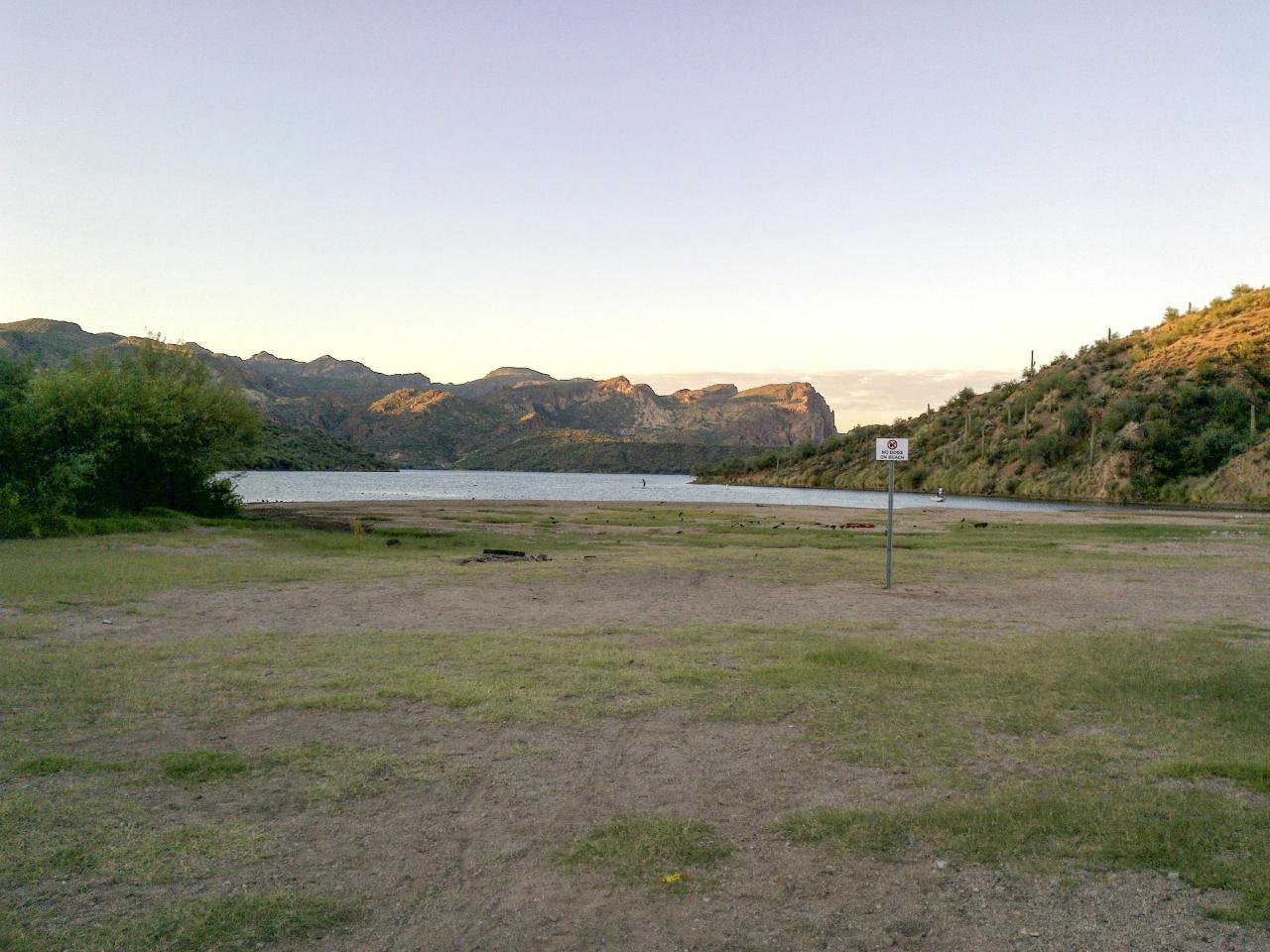
The swim area is a gently sloping beach that deepens gradually off the picnic area, which makes it one of the easier places at the lake for kids and waders. Buoys mark the swimming zone, and the whole bay in front of Butcher Jones is closed to motorized boats, so the water is calm and kayaks and paddleboards launch straight off the beach. There are no lifeguards. The lake is a desert reservoir, so the water is warm through the long summer and cold in winter, and lake levels change daily with irrigation demand and power generation, which can leave rocks and snags just under the surface.
A pass is required to park. A Tonto Daily Pass costs $8 per vehicle per day if you buy it ahead of time at a Tonto National Forest office or a retail vendor in the Valley, or $12 per vehicle per day from the on-site fee machine, which takes only debit or credit cards. The $80 Tonto Discovery Pass (annual) and the $60 senior and access annual pass are honored, as are America the Beautiful interagency passes. The site is open year round for day use only, with no overnight camping. Glass containers are prohibited and dogs must be on a leash.
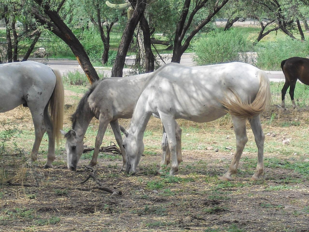
Mesquite trees shade the picnic tables, and the site has vault toilets but no drinking water, so bring all the water you need. There is no trash service at Saguaro Lake. The lake has had golden algae fish kills in recent years (2017 to 2019 and 2022). Members of the Salt River wild horse herd sometimes graze the mesquite flats and come down to drink at the shore. Give them plenty of room and don't feed them.
The Butcher Jones Trail starts at the east end of the parking area and follows the north shore of the lake to Burro Cove and the Pinter's Point loop, about 5 miles out and back, with lake views most of the way and little shade past the first stretch. Fishing from shore is popular for bass, crappie and catfish. The Saguaro Lake Marina, with boat rentals and the boat ramp, is a short drive away at the end of Forest Road 204.
More Information
Butcher Jones Beach Guide: What to Know Before You Go | Mesa, AZ | Visit Mesa
Planning a visit to Butcher Jones Beach near Mesa, Arizona? Learn what to expect at this popular Saguaro Lake destination, including parking, fees, crowds, and insider tips before you go.
https://www.visitmesa.com/blog/know-before-you-go-butcher-jones-beach/Butcher Jones Recreation Site: Soak Up Saguaro Lake
Located a Saguaro Lake, Butcher Jones Recreation Site is a beatiful place to hike, fish, kayak, or simply enjoy some time lakeside.
https://www.territorysupply.com/butcher-jones-recreation-siteButcher Jones Trail offers scenic lake views
Two additional miles brings you to parking, recreational picnic sites, and the trailhead to the Butcher Jones Trail, which is a 5.8 mile out and back hike of moderate level. Along the way, you will see spectacular lake views, so be sure to have your camera handy. This trail experience has been described by previous
https://www.upcloseaz.com/butcher-jones-trail-offers-scenic-lake-views/Saguaro Lake - Wikipedia
Saguaro Lake is the fourth reservoir on the Salt River, formed by the Stewart Mountain Dam in the U.S. state of Arizona. The lake is off State Route 87, about halfway between Phoenix and the ghost town of Sunflower. The dammed end of the lake is at 33°33′56″N 111°32′10″W / 33.5656°N 111.5361°W, at an elevation of 1,506 feet (459 m).
https://en.wikipedia.org/wiki/Saguaro_LakeTonto National Forest - Passes
Buy a Pass The Tonto National Forest offers many free activities such as hiking, biking, camping, birding, scenic drives and more, but some locations require a fee to help maintain, manage and improve the amenities you enjoy.
https://www.fs.usda.gov/r03/tonto/passesTonto National Forest : Recreation Opportunity - Picnicking
Find a scenic spot to eat lunch with family and friends.
https://www.fs.usda.gov/r03/tonto/recreation/opportunities/picnickingTonto National Forest : Recreation Site - Butcher Jones Day Use Area
At Butcher Jones, Mesquite trees provide welcome natural shade to picnic units. Butcher Jones features a pleasant nature trail and a gently sloping beach which makes gradual changes in depths adjacent to picnic area. This popular beach/picnic area is one of the most-visited sites on the Tonto National Forest. This accesses Saguaro Lake, which is set in the magnificent Sonoran Desert.
https://www.fs.usda.gov/r03/tonto/recreation/butcher-jones-day-use-areaTonto National Forest : Recreation Site - Saguaro Lake
Saguaro Lake is set in the Sonoran Desert and is rimmed with canyon walls. As the name implies, the shores of the lake are studded with majestic Saguaro cactus. Try the upper reaches of the lake (east-end) for more seclusion. Boat access camping at the east end of the lake. Tour-boat trips are available on the Desert Belle: (480) 984-2425. Over 2200 fish-habitat structures were installed to enhance fishing on the lake. According to Bass Master Magazine, the best time for trophy bass is October to December and February to mid April. There are large bass in the lake; fish census show that 12+ lb. bass and 30-lb. Carp exist in the depths. Bluegill comes in a variety of sizes. Occasional species caught: Walleye, Black Crappie, Small-mouth Bass, Bigmouth Buffalo and Yellow Bass.On busy days, once Boat Parking is at capacity, vehicles towing boats will be turned away at the entrance. View and download a map.
https://www.fs.usda.gov/r03/tonto/recreation/saguaro-lakeBe courteous, informed, and prepared. Read trailhead guidelines, stay on the trail, and don't feed the wildlife.
Read More
- Plan Ahead and Prepare
- Travel & camp on durable surfaces
- Dispose of waste properly
- Leave what you find
- Minimize campfire impacts
- Respect wildlife
- Be considerate of other visitors
Directions
From Fort McDowell
- Head west on Ba Hon Nah Rd toward N Fort McDowell Rd (75 ft)
- Turn left onto N Fort McDowell Rd (4.2 mi)
- Turn left onto AZ-87 N (7.9 mi)
- Take exit 199 for Bush Hwy (0.4 mi)
- Turn right onto N Bush Hwy (2.9 mi)
- Turn left onto E Butcher Jones Beach RdDestination will be on the right(1.9 mi)
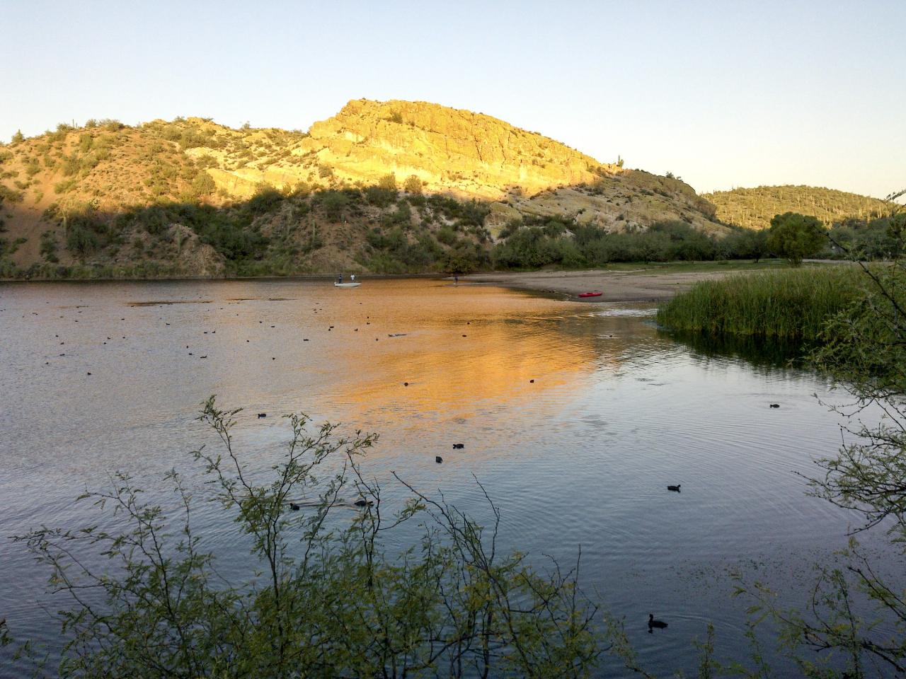
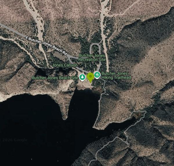 The Butcher Jones swimming cove on Saguaro Lake in evening light, with the cliffs above the beach. courtesy of davidpinter↗ (CC BY 3.0↗)
 The open ground of the Butcher Jones Day Use Area sloping down to the cove. courtesy of davidpinter↗ (CC BY 3.0↗)
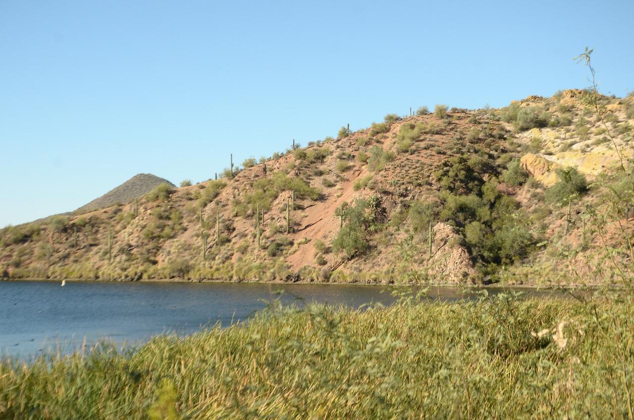
 Reeds along the shore of the Butcher Jones cove on Saguaro Lake. courtesy of davidpinter↗ (CC BY 3.0↗)
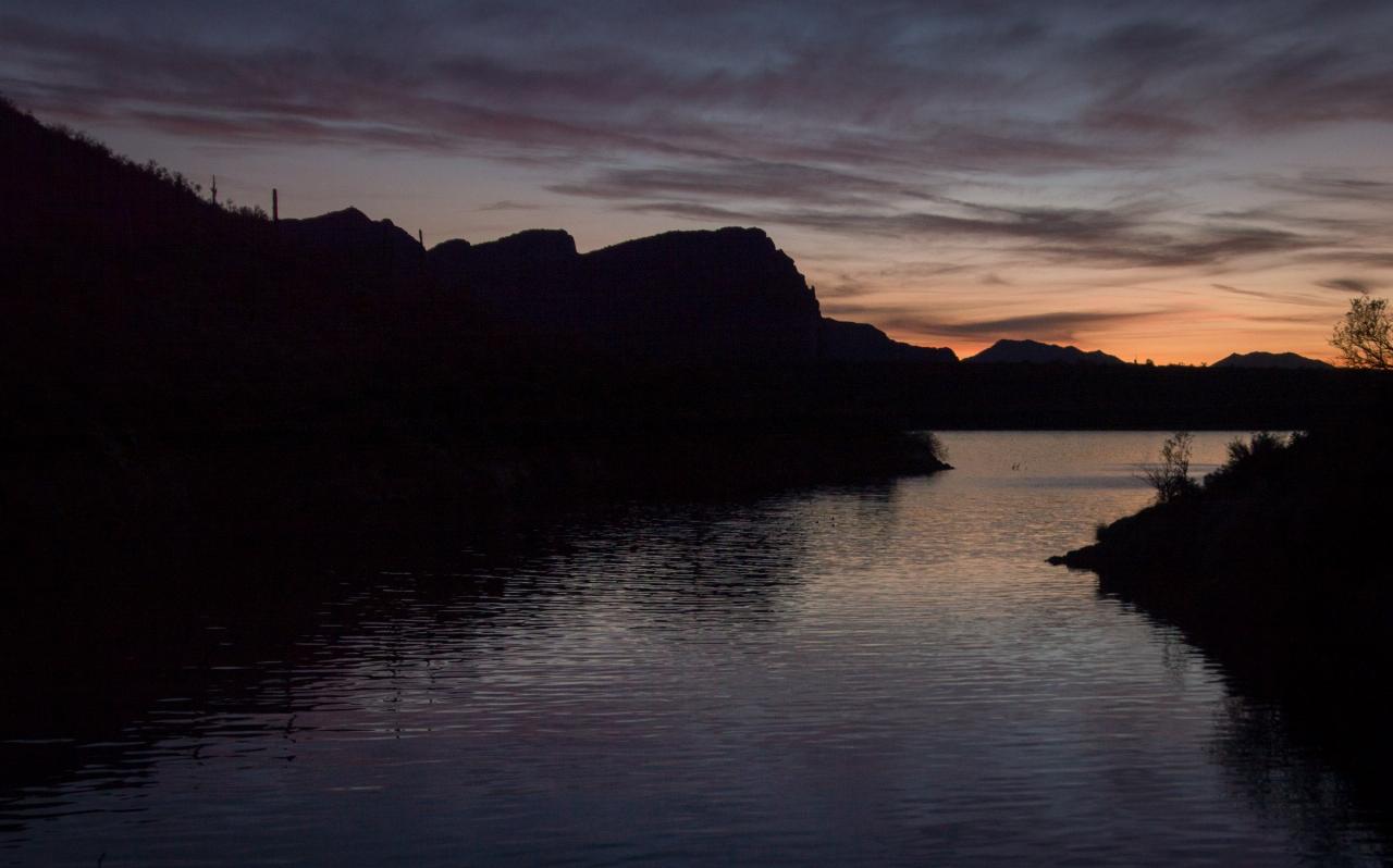
 Sunset over the Butcher Jones cove, February 2014. courtesy of Z Glyph↗ (CC BY 3.0↗)
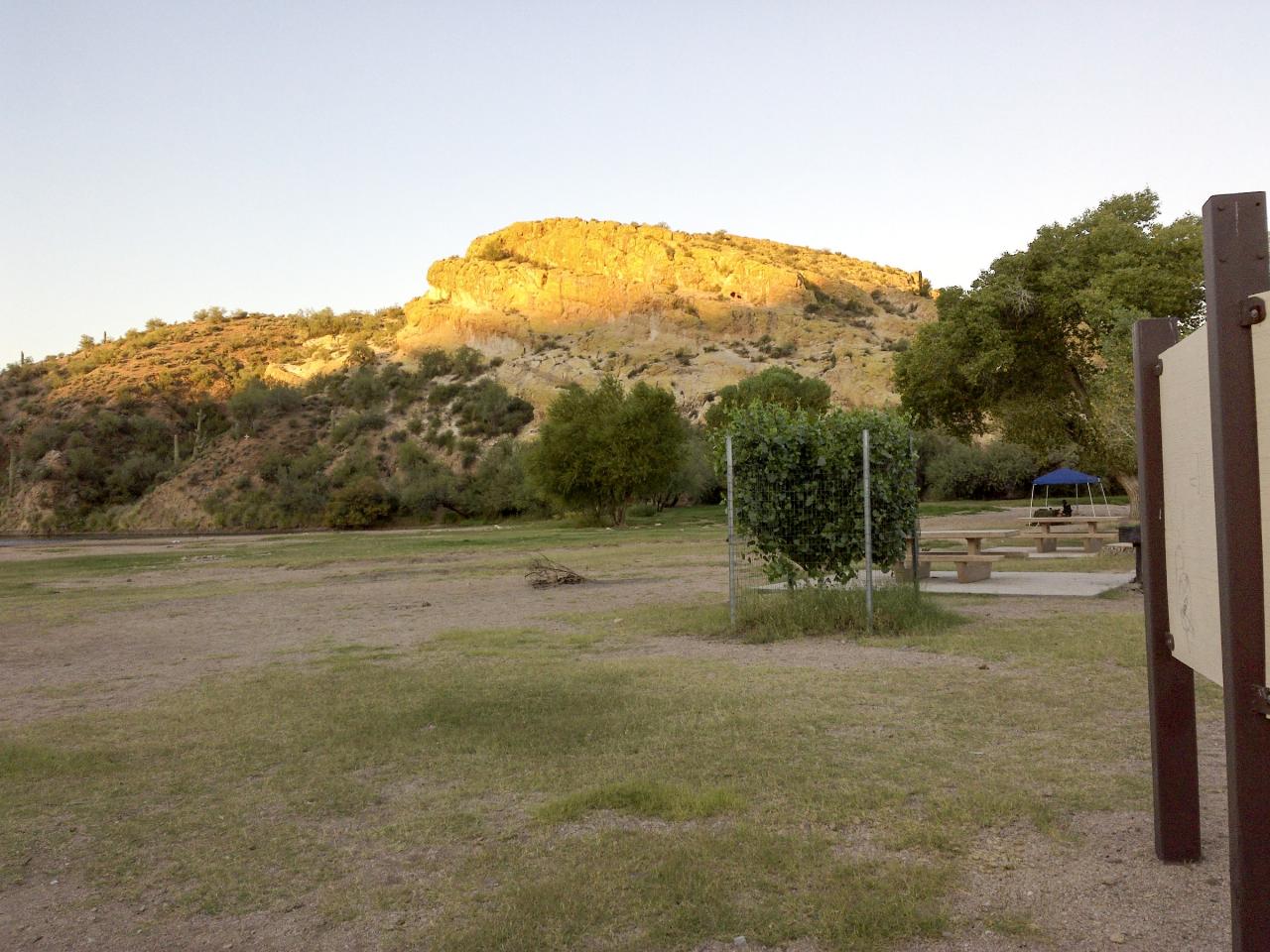
 Picnic tables at the Butcher Jones Day Use Area below the cliff on the cove. courtesy of davidpinter↗ (CC BY 3.0↗)
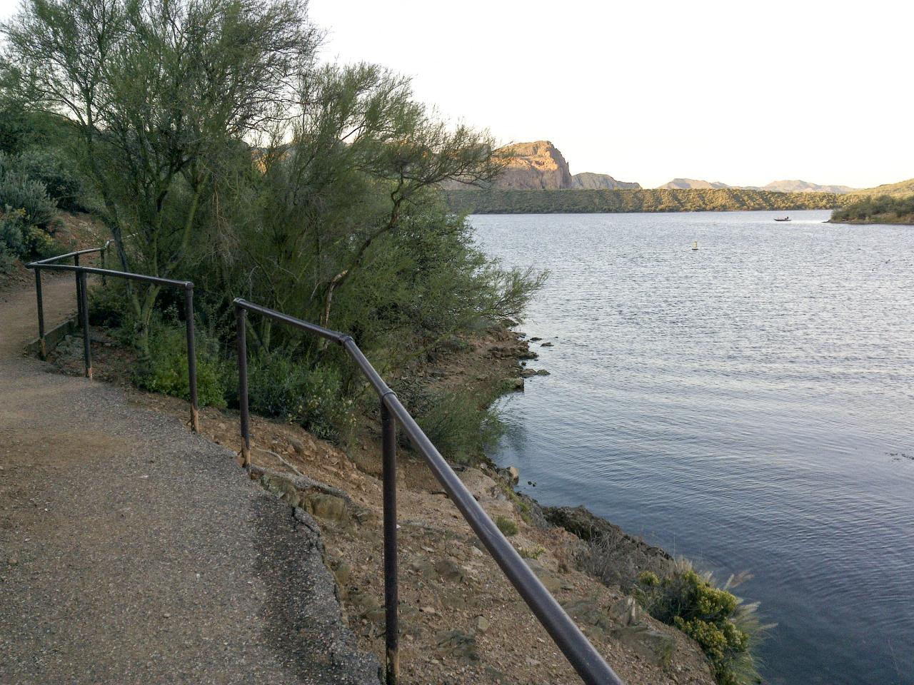
 The railed start of the Butcher Jones Trail along the Saguaro Lake shoreline. courtesy of davidpinter↗ (CC BY 3.0↗)
 Salt River wild horses grazing under the mesquites at Butcher Jones. courtesy of davidpinter↗ (CC BY 3.0↗)
Other Swimming Holes, Hiking Trails, and Kayaking Areas Nearby
Pebble Beach
Mesa, Arizona
3.7 miles SWA popular Salt River spot near Mesa for tubing, swimming, and picnicking in the Cibola National Forest.
Swim
Acacia Day Use Area Swim Beach, Canyon Lake
Apache Junction, Arizona
5.5 miles SEGentle sand-and-gravel swim beach at the Forest Service's Acacia Day Use Area on Canyon Lake, 14 miles up the Apache Trail from Apache Junction in Tonto National Forest.
Canoe, Hike, Kayak, Swim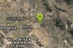
Siphon Draw Trailhead to Flatiron
Apache Junction, Arizona
8.2 miles SA 5.5-mile advanced hike in Lost Dutchman State Park up to the Flatiron — slick sections, hands-and-feet scrambling, and one of the most exhilarating summits in the Superstitions.
Hike 2.1 mi
Lower Salt River Nature Trail
Fort McDowell, Arizona
8.7 miles WA 2-mile beginner loop alongside the Salt River in Tonto National Forest, with worn markers that keep things adventurous — watch for wild horses and spring cactus blooms.
Camp, Hike
Buckhorn Campground Nature Trail
Apache Junction, Arizona
9.3 miles SWCamp and Hike near Apache Junction, Arizona
Camp, Hike 1.5 mi
Moon Rock Loop
Apache Junction, Arizona
9.6 miles SWA fast, mostly-downhill 1.3-mile doubletrack loop with smooth pavement-like surface and flowy turns inside Usery Mountain Regional Park — accessible via the Blevins Trail.
Hike, Horseback, Mountain Bike 1.7 mi
Levee Trail
Mesa, Arizona
10.0 miles SWA smooth, flat double-track trail inside Usery Mountain Regional Park running parallel to a channel — an ideal cross-country ride, run, or connector for longer loops.
Hike, Horseback, Mountain Bike
Crismon Wash Trail
Mesa, Arizona
10.3 miles SWA 1.8-mile wash trail in Mesa, Arizona accessible from the Crismon Road trailhead or the Blevins Trail — part of a network that supports several loop configurations through desert terrain.
Hike, Horseback, Mountain Bike 1.5 mi
The Saddle
Mesa, Arizona
10.8 miles SWAn intermediate mountain bike trail with views of the Salt River and Red Mountain, connecting to the greater Hawes trail network via scenic singletrack.
Hike, Mountain Bike 7.5 mi
Hawe's Loop
Mesa, Arizona
10.9 miles SWTwisting desert singletrack near Mesa with great flow, views of Red Mountain and the Salt River, and optional reverse laps for a serious endurance climb.
Hike, Mountain Bike
Fountain Hills Park
Fountain Hills, Arizona
11.3 miles WA 1.3-mile loop trail at Fountain Hills Park near Phoenix accessible year-round for all skill levels — a pleasant hike through a well-known community park.
Hike
Fountain Park Trail
Fountain Hills, Arizona
11.6 miles WA well-groomed ridge trail in Fountain Hills with Fountain Park views to the west and Four Peaks to the northeast — great for family hikes.
Hike, Mountain Bike
Desert Trails Bike Park
Mesa, Arizona
13.0 miles SWDesert Trails Park is a purpose-built mountain-bike and skills park on the northeast corner of McDowell and Recker roads in Mesa, Arizona. Opened in 2014 as one of the city's newest parks, its...
Hike, Mountain Bike 1.4 mi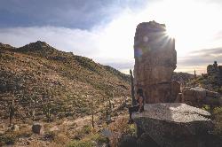
Ballantine Trail
Rio Verde, Arizona
13.1 miles NMica-embedded boulders, deep granite gorges, and a naturally sculpted mini-Stonehenge passage make Ballantine Trail a rewarding strenuous desert adventure near Rio Verde.
Hike
Sunrise Peak via Sunrise Trail
Scottsdale, Arizona
14.7 miles WSunrise Peak is one of the most rewarding summit hikes in the McDowell Sonoran Preserve, the vast protected desert straddling the McDowell Mountains northeast of Scottsdale and north of Fountain...
Hike
Tortoise and Hilltop Trails
Fort McDowell, Arizona
14.8 miles NWA hike through desert terrain near Fort McDowell watching for jackrabbits and lizards on the Tortoise Trail before climbing to the hiker-only Hilltop Trail loop.
Hike
Wagner Trail
Scottsdale, Arizona
14.9 miles NWA 2.2-mile beginner-to-intermediate loop trail in the McDowell Sonoran Preserve in Scottsdale, winding through a hoodoo canyon to a vantage point with views of Weaver's Needle at Fremont Saddle.
Hike, Horseback, Mountain Bike
Wagner-Granite-Bluff Trails
Scottsdale, Arizona
14.9 miles NWHike and Mountain Bike near Scottsdale, Arizona
Hike, Mountain Bike
Sonoran Trail Fountain Hills
Fountain Hills, Arizona
15.2 miles WHike near Fountain Hills, Arizona
Hike
Dixie Mine
Fountain Hills, Arizona
15.2 miles WA McDowell Mountain Regional Park trail near Fountain Hills accessible from multiple trailheads — reach the park at 16300 McDowell Mountain Park Dr, AZ 85255.
HikeNearby Campsites
Lower Salt River Nature Trail
Fort McDowell, Arizona
8.7 miles WA 2-mile beginner loop alongside the Salt River in Tonto National Forest, with worn markers that keep things adventurous — watch for wild horses and spring cactus blooms.
Camp, Hike
Buckhorn Campground Nature Trail
Apache Junction, Arizona
9.3 miles SWCamp and Hike near Apache Junction, Arizona
Camp, Hike


