


Courthouse Butte Loop
Sedona, Arizona
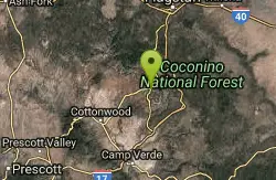
| GPS: |
34°51'54.4"N 111°45'36.8"W Maps | Directions |
| State: | Arizona |
| Trail Length: | 5.00 miles |
| MTB Difficulty: | Beginner |
| Trail Type: | Loop |
Mountain Bike
Courthouse Butte Loop: To get to this wonderful trail, take the wide Bell Rock Pathway from the kiosk toward Bell Rock. It climbs gently and at ½ mile there is a signed intersection with the Courthouse Butte Loop Trail. Continue ahead on the wide trail (this description is for taking the loop clockwise). The trail continues a gentle climb circling to the left of Bell Rock. It levels out at 1 mile and curves to the right below the slopes of Bell Rock.Follow the large cairns to the 1½ mile point where the wide Pathway turns north (left) and a sign shows the Courthouse Butte Loop Trail branching to the right. Go right. This narrower trail passes to the left of Courthouse Butte heading toward Lee Mountain. At 2¼ miles, the trail passes to the right of a prominent dome-shaped outcrop, and then gradually descends, entering Wilderness. It enters a dry wash at 3 miles, circles to the right over bare rock and climbs out onto level ground as it leaves the Wilderness area and continues to circle Courthouse Butte. Approaching Bell Rock, the trail meets the pathway once again at 3¾ miles. Go left, retracing the entry route for ½ mile to return to the kiosk. The loop is mostly unshaded and can be hot in summer.Big Park Trail: A short offshoot of the Courthouse Butte Loop trail, popular with bicycle enthusiasts. Park in the south Bell Rock Pathway parking area. Take trail east a short distance to the Big Park Trail. Courtesy of Singletracks.com
More Information
Never modify trail features. Ride trails when they're dry enough that you won't leave ruts. Speak up when you see others on the trail and always yield to hikers, horses, and others coming uphill. Always ride on the established trail.
Read More- Plan Ahead and Prepare
- Travel & camp on durable surfaces
- Dispose of waste properly
- Leave what you find
- Minimize campfire impacts
- Respect wildlife
- Be considerate of other visitors
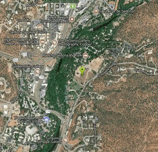
Directions
From Sedona, Arizona
- Head south on N State Rte 89A toward Forest Rd (0.3 mi)
- At the traffic circle, take the 3rd exit onto AZ-179 S (0.4 mi)
- At the traffic circle, take the 2nd exit onto Schnebly Hill RdDestination will be on the left(0.3 mi)
Other Mountain Bike Trails Nearby
Huckaby Trail
Sedona, Arizona
0.7 miles EOn the hunt for adventure? Established in 1998, Huckaby Trail is just the adventuresome route for both avid hikers and mountain bikers. It offers up forestry of Arizona Sycamores and picturesque...
Canoe, Hike, Mountain Bike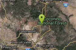
Hangover
Sedona, Arizona
0.7 miles EUpdated description by Greg Heil:Hangover is an incredibly technical trail, with high consequences if you mess up. With serious exposure, technical features, steep rock rolls, tight...
Mountain Bike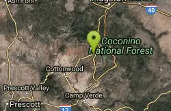
Soldier Wash Trails
Sedona, Arizona
0.9 miles WWhat locals once called the "Secret Trails" isn't so secret anymore. The USFS has adopted many of them into what is now called "Soldier Wash Trails." You may not see them yet on the...
Mountain Bike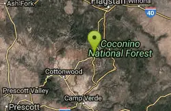
Jim Thompson
Sedona, Arizona
1.3 miles NThis trail is best ridden west to east unless you like a serious climb. Either way, you'll be treated to some great scenery. Much of the trail is wide and covered with loose rocks....
Mountain Bike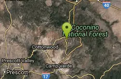
Broken Arrow Trail / Chicken Point
Sedona, Arizona
1.5 miles SThis trail is definitely not for beginners. It has a lot of technical climbs and descents- drop offs and stairs, etc. A lot of narrow singletrack along cliffs. This trail takes you...
Mountain Bike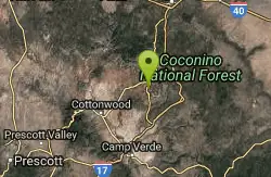
Broken Arrow Trail System
Sedona, Arizona
1.9 miles SThe Broken Arrow Trail system incorporates a number of classic Sedona rides, such as Broken Arrow, Hog Heaven, Hog Wash, Pig Tail, and more. While some of these trails are relatively...
Mountain Bike
North Urban Trail System - East
Sedona, Arizona
2.1 miles WThe North Urban Trail System is an interconnected series of trails north of Sedona along the red rock front country. These trails extend from the Jim Thompson Trailhead on the east end...
Mountain Bike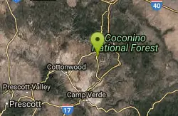
Pig Tail
Sedona, Arizona
2.3 miles SPig Tail is a short one-way downhill-only trail full of jumps, drops, berms, and rocks. A riot of a descent!
Mountain Bike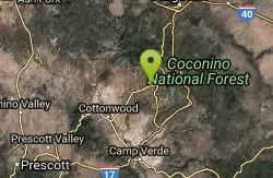
Ridge Trail
Sedona, Arizona
2.4 miles WWith all of the trails available to ride around Sedona, it is easy to overlook some nice but lower profile trails south of AZ-89A in Sedona West. One benefit of riding these trails is...
Mountain Bike
Airport Mesa Trail Network
Sedona, Arizona
2.4 miles WThere are networks of trails on all sides of Sedona. This network of trails is in the area south of Hwy 89A and north of Oak Creek. There are several possible routes and trail...
Mountain Bike
Cow Pies
Sedona, Arizona
2.7 miles EThe Cow Pies trail functions as a climb up to the Hangover trail from the Munds Wagon Trail. Much of this trail is sweet, sweet slickrock, with awesome views.
Mountain Bike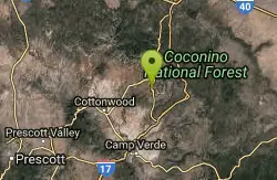
Templeton
Sedona, Arizona
3.0 miles SThis challenging, fun & exciting singletrack rewards you with some of the most scenic vistas of the Sedona area. Leaving the B.R. Pathway you twist & turn downhill through the forest...
Mountain Bike
Chimney Rock Trail
Sedona, Arizona
3.0 miles WThere is an upper and lower Chimney Rock Trail. Tie them both together and you have a short and painless 3.16 mile figure eight loop. The Upper Chimney Rock Trail is 1.79 miles around...
Mountain Bike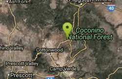
North Urban Trail System - West
Sedona, Arizona
3.0 miles WThe North Urban Trail System is an interconnected series of trails along the red rock front country at the north edge of Sedona. The western portion, described here, includes Lower...
Mountain Bike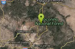
Schnebly Hill Trail
Sedona, Arizona
3.1 miles NEThe Schnebly Hill Trail dead ends at the wilderness area, but can be accessed from a road at the top. Essentially this trail functions as the upper half of the Munds Wagon trail,...
Mountain Bike 8.5 mi
Munds Wagon Trail
Sedona, Arizona
3.1 miles EMunds Wagon Trail is different from many of the other more “classic†rides around Sedona. If you come from somewhere else and are missing the feel of loose rocks...
Hike, Mountain Bike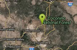
Chuck Wagon
Sedona, Arizona
3.2 miles WChuck Wagon was adopted for mountain biking in the spring of 2012. It incorporates the original Chuck Wagon trail with what was once known locally as "Gunslinger." It is laid out in...
Mountain Bike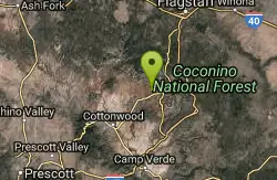
Upper Dry Creek Area Trails
Sedona, Arizona
3.6 miles WThe Upper Dry Creek Area Trails are easily accessible from West Sedona and include a lot of Sedona classics like Chuckwagon, Mescal, and Aerie. While this trail system offers gorgeous...
Mountain Bike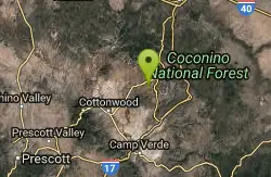
Ram's Head Trail
Sedona, Arizona
3.6 miles SWSometimes you are traveling with kids or neophyte mountain bikers and are wondering where to take them. (I hesitate to say “beginners. They belong in the middle of a grassy...
Mountain Bike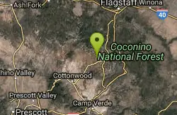
Mescal Trail
Sedona, Arizona
3.8 miles NWMany of the newer trails and best riding in the Sedona area are in the Boynton Pass area. The route described with the accompanying TOPO map includes all or part of Chuckwagon, Mescal,...
Mountain BikeNearby Campsites

Chavez Crossing
Sedona, Arizona
1.8 miles SWChavez Crossing is a campground in Sedona, Arizona. It sits perfectly nestled in Arizona's most beautiful red rock attractions along with the grand summer sunsets. If that didn't sound...
Camp, Hike, Swim 0.1-0.7 mi
Cave Springs
Sedona, Arizona
9.1 miles NCave Springs Campground is a scenic campground that sits in Oak Creek Canyon. Cave Springs is nestled perfectly in the town of Sedona, giving the campground the notorious Sedona red views. Uniquely,...
Camp, Hike, Swim
Beaver Creek Dispersed Camping
13.4 miles S
Free dispersed camping on the cliffs above Beaver Creek.
Camp
Beaver Creek Campground
Camp Verde, Arizona
13.7 miles SCamp, Canoe, Kayak, and Swim near Camp Verde, Arizona
Camp, Canoe, Kayak, Swim 0.4 mi
Clear Creek Campground
Camp Verde, Arizona
24.1 miles SWest Clear Creek flows along the boundary of this desert canyon country camp and is a popular place for hiking, swimming, wading and fishing. Cool water species such as smallmouth bass and green...
Camp, Hike, Swim
Verde Hot Springs
Camp Verde, Arizona
35.9 miles SVerde Hot Springs are a few natural hot spring pools located along the Verde River, near Sedona, Arizona. Once a resort, now all that remains are the foundations and the hot pools...
Camp, Hike, Hot Springs 0.1-7.8 mi
Wolf Creek Falls
Sedona, Arizona
49.2 miles SWWolf Creek Falls is a wonderful space to explore and be immersed in nature. With it's six miles of trails, beautiful waterfalls and two campgrounds this is the perfect place to spend a...
Camp, Hike, Swim


