


Cowan Lake Public Beach
Wilmington
Camp, Canoe, Hike, Kayak, and Swim
Ohio DNR is draining most of Cowan Lake for a dam rehabilitation, and the drawdown runs into 2028. The valve opens November 1 and the pool drops roughly two feet a day until it sits 13.5 feet below summer level. Work on the spillway and the dam valve system runs from early 2027 through spring 2028, and ODNR's stated target for restoring normal water levels is summer 2028. ODNR says the lake stays open for fishing and kayaking at your own risk until there is no longer enough water and the boat ramps are inaccessible. The agency has not posted a separate closure notice for the swim beach, but a 13.5-foot drop on a lake whose deepest hole is only 42 feet will leave the waterline far out from the sand. Treat the 2027 season as a write-off for swimming here, and call the park office at (937) 382-1096 before driving out. The marina is being demolished and rebuilt under the same project.
At normal pool the beach is a gradual, easy walk-in, 1,000 feet of sand on the south shore. Cowan Creek was dammed in 1950 and the lake bottom is former pasture, so expect soft silt underfoot rather than gravel or rock. Much of the lake runs 10 to 25 feet deep. Stumps were left standing when the lake was built and there are still standing trees at the upper end near the mouth of Cowan Creek, which is a good reason to stay inside the marked swim area. Swimming is permitted in daylight hours only, in designated areas, and no lifeguard is on duty. Rafts and pool toys are not allowed at Ohio state park swim areas; the only flotation permitted is a Coast Guard approved life jacket.
Getting in costs nothing. Ohio charges no admission at any of its state parks and no fee to use a state park beach. A changing house and restrooms sit at the beach, and the beach lot has marked accessible spaces. The beach is carry in, carry out with no trash cans, so bring a bag. Alcohol is prohibited in public areas of every Ohio state park, the beach included. The Ohio Department of Health posts water quality advisories for this beach through BeachGuard from Memorial Day to Labor Day.
The lake's calling card is its American lotus. The shallow bays hold an unusually large colony for an inland Ohio lake, with leaves up to two feet across and big yellow flowers through midsummer. Bald eagles work the shoreline. A 10-horsepower limit keeps all 692 acres quiet, which is why sailing took hold here. Three ramps and an accessible kayak launch ring the water, South Shore Marina rents boats and canoes, and the campground commissary rents kayaks and paddleboards seasonally. A second, smaller beach serves the campground, and there is a boat swim area in the northern arm of the lake.
The campground carries a wide mix of sites plus fully equipped cabins, a seasonal nature center, and a group camp. More than eight miles of trail cross the park, including the 2.6-mile Spillway trail and the 1.8-mile Emerald Woods loop on the south side near the beach, and an 18-hole disc golf course sits by the Dance Pavilion a short walk from the sand. An accessible fishing pier is near the Pine Tree picnic area. The park is seven miles southwest of Wilmington, reached from U.S. 68 or State Routes 350 and 730, with the beach off Yankee Road.
More Information
Cowan Creek near Wilmington OH - USGS Water Data for the Nation
Discover water data collected at monitoring location USGS-03243500, located in Clinton County, Ohio and find additional nearby monitoring locations.
https://waterdata.usgs.gov/monitoring-location/USGS-03243500Cowan Lake (Ohio) - Wikipedia
From Wikipedia, the free encyclopedia
https://en.wikipedia.org/wiki/Cowan_Lake_(Ohio)Cowan Lake Fishing Map
Map displayed with graticules using UTM NAD 83 Zone 17 projection. Depths based on normal summer pool elevation of 960 ft. Reservoir last surveyed: 1999 Contours and depths shown on this map may change with fluctuating lake levels and alteration of the lake bottom.
https://dam.assets.ohio.gov/image/upload/ohiodnr.gov/documents/wildlife/maps/cowanlake2.pdfCowan Lake State Park - Wikipedia
Sunset on Cowan Lake
https://en.wikipedia.org/wiki/Cowan_Lake_State_ParkCowan Lake to close to boating through 2027 for spillway repairs, marina rebuild - Record Herald
WILMINGTON, Ohio — Major infrastructure renovations will close Cowan Lake to boating for at least a full season and mark the end of a four-decade operating era for its longtime concessionaire, operators announced.
https://www.recordherald.com/2026/09/23/cowan-lake-to-close-to-boating-through-2027-for-spillway-repairs-marina-rebuild/National Weather Service
NOAA National Weather Service
https://forecast.weather.gov/MapClick.php?lat=39.3818&lon=-83.8999Tri-State lake to drop 13 feet for over a year, sparking concerns for boaters, campers
The Ohio Department of Natural Resources plans to drop the lake level while repairs and upgrades are made to the dam.
https://local12.com/news/local/cowen-lake-clinton-county-ohio-drop-feet-over-year-sparking-concerns-boaters-campers-fishers-fishing-recreational-activity-camp-camping-dam-department-natural-resources-upgrades-repairs-issues-challengesBe courteous, informed, and prepared. Read trailhead guidelines, stay on the trail, and don't feed the wildlife.
Read More
- Plan Ahead and Prepare
- Travel & camp on durable surfaces
- Dispose of waste properly
- Leave what you find
- Minimize campfire impacts
- Respect wildlife
- Be considerate of other visitors
Directions
From Wilmington
- Head north on US-117 N/
College Rd toward Oleander Dr (4.2 mi) - Continue onto I-40 (194 mi)
- Take exit 131 for I-40 W toward I-785 N/
Greensboro/ Winston-Salem (0.4 mi) - Take the ramp to I-40 (184 ft)
- Continue onto I-40 (7.2 mi)
- Slight right onto I-40/
US-220 S (signs for Winston-Salem) Continue to follow I-40(12.6 mi) - Take exit 206 for US-421 N toward Salem Pkwy Kernersville/
Winston-Salem/ Downtown (0.3 mi) - Continue onto US-421 N (6.2 mi)
- Take exit 227 for NC-74 W toward US-311 (0.8 mi)
- Merge onto I-74 W/
NC-74 (12.9 mi) - Continue onto US-52 N (20.9 mi)
- Take exit 18 for I-74 W toward I-77/
Wytheville (0.5 mi) - Continue onto I-74 W (11.2 mi)
- Keep right to stay on I-74 W, follow signs for I-77 N/
Wytheville Entering Virginia(5.0 mi) - Continue onto I-77 N (31.9 mi)
- Take the exit onto I-77 N/
I-81 S toward Bluefield/ Wytheville (9.1 mi) - Take exit 72 for I-77 N toward Bluefield/
Charleston W.VA (0.4 mi) - Continue onto I-77 NToll roadEntering West Virginia(127 mi)
- Slight left onto I-64 W (17.9 mi)
- Take exit 40 toward Winfield/
Pt. Pleasant (0.6 mi) - Merge onto US-35 NEntering Ohio(96.2 mi)
- Slight left onto US-35 W (signs for Dayton) (30.5 mi)
- Take exit 82 toward US-22/
US-62/ OH-3/ Washington CH/ Hillsboro (0.2 mi) - Turn right (0.2 mi)
- Turn right onto US-62 W (1.2 mi)
- Turn right onto Snow Hill Rd SW (8.6 mi)
- Turn left onto OH-729 S (9.4 mi)
- Turn right onto OH-73 W (0.2 mi)
- Turn left onto OH-350 W (10.3 mi)
- Turn right onto Yankee Rd (0.3 mi)
- Slight left (463 ft)
- Turn right (0.4 mi)
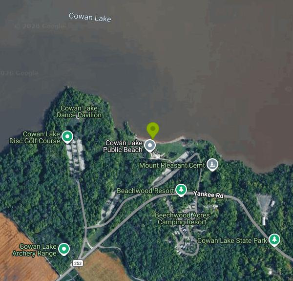 The south shore beach at Cowan Lake State Park near Wilmington, Ohio. added by freearenas (No restrictions)
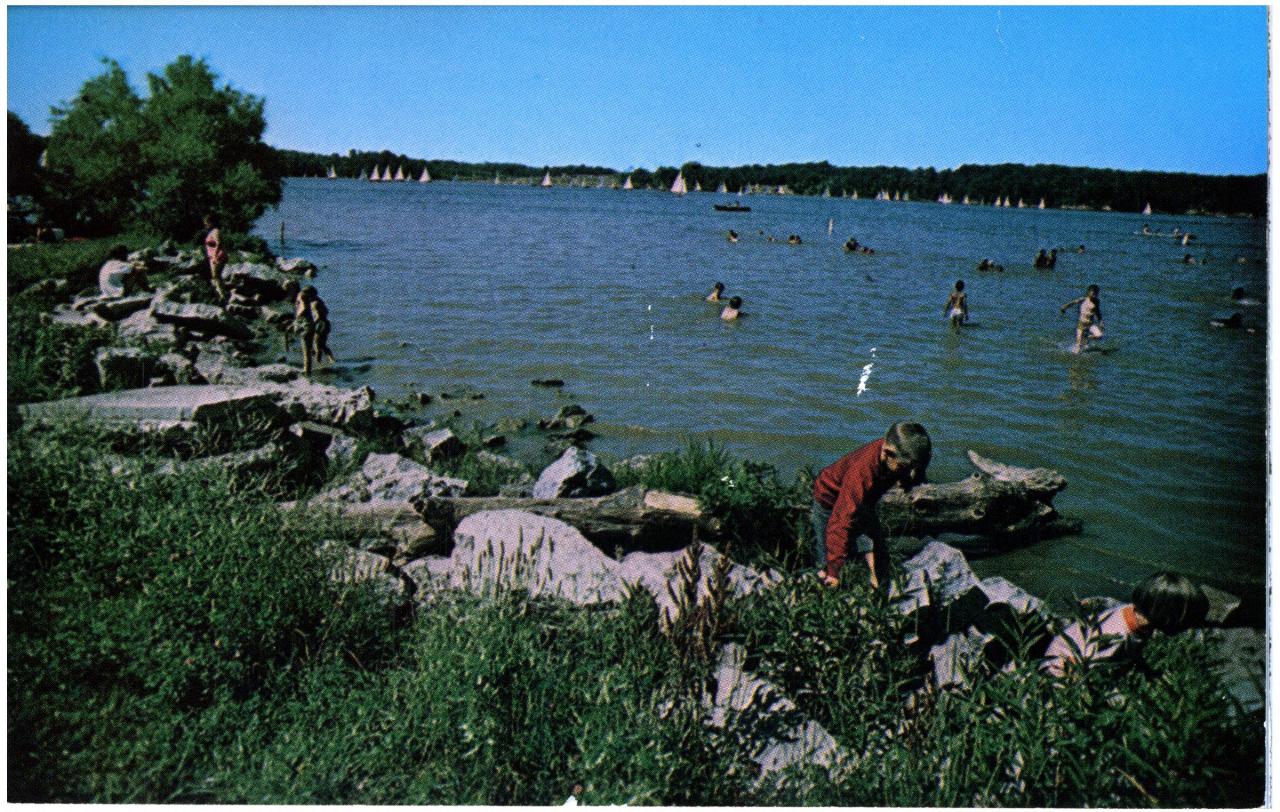
 Open water on Cowan Lake, the 692-acre reservoir northeast of Cincinnati. courtesy of Kfasimpaur↗ (Public domain↗)
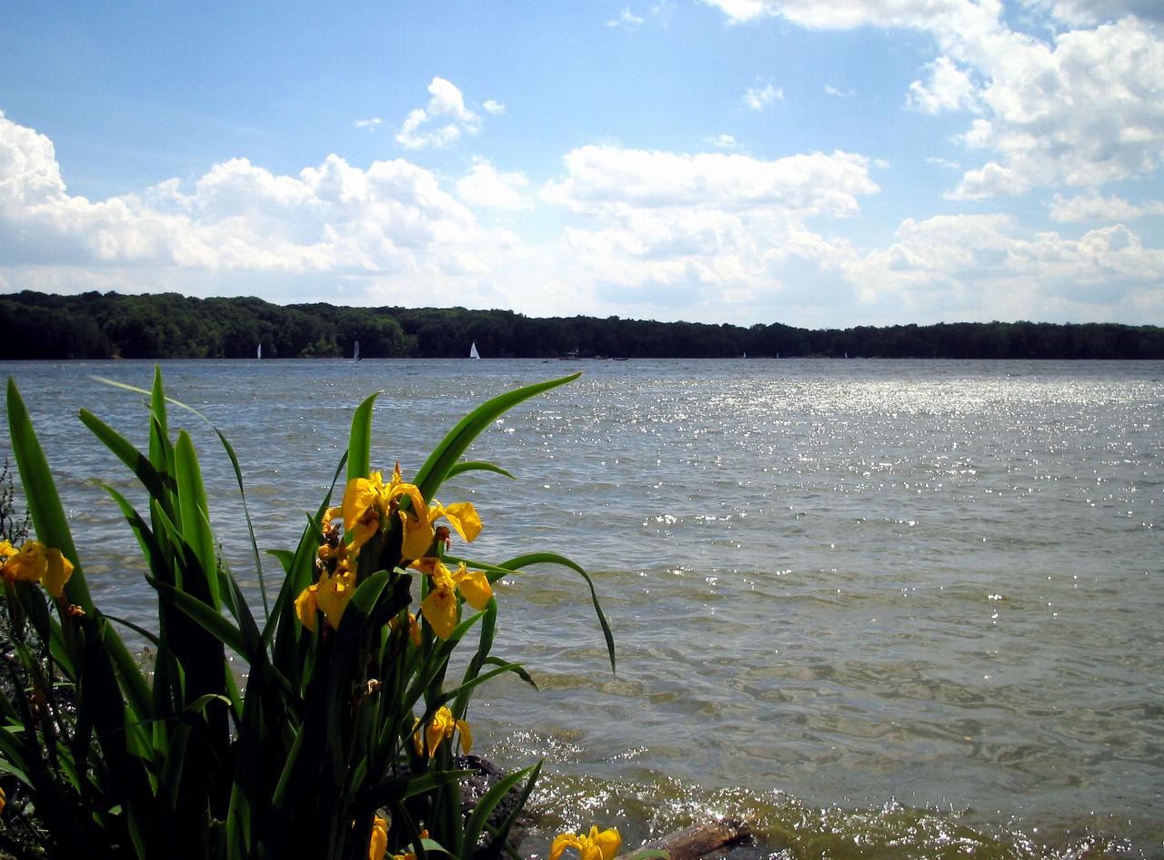
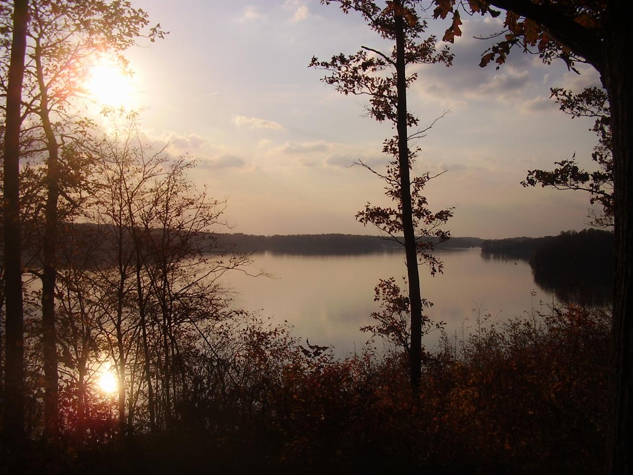
 Sunset over Cowan Lake in Clinton County, Ohio. courtesy of Mason Brock (Masebrock)↗ (Public domain↗)
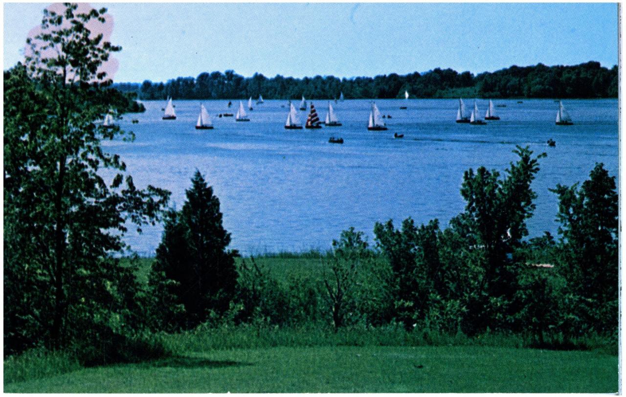
 Sailboats finishing a Cowan Lake Sailing Association regatta, a tradition the 10-horsepower limit he added by freearenas (No restrictions)
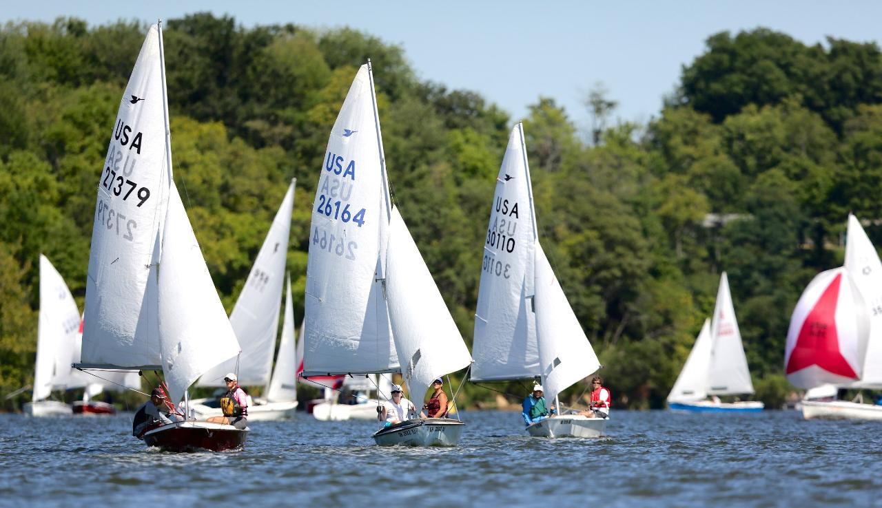
 Snipe-class boats racing on Cowan Lake in September. courtesy of R S Tsuchiya↗ (CC BY-SA 3.0↗)
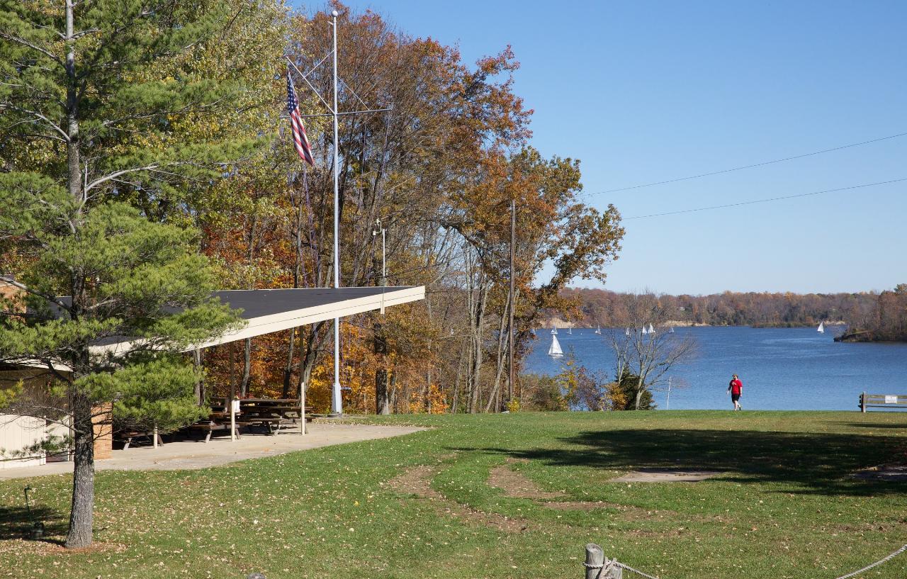
 The Cowan Lake Sailing Association clubhouse above the lake. courtesy of R S Tsuchiya↗ (CC BY-SA 3.0↗)
 Wooded campsites in the Cowan Lake State Park campground. added by freearenas (No restrictions)
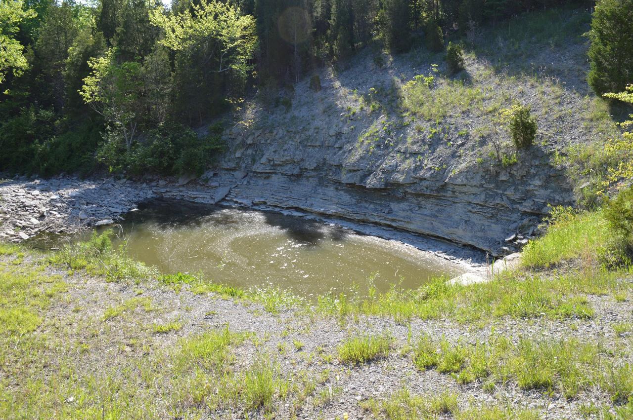
 The overlook at Cowan Lake Dam, the structure being rehabilitated through spring 2028. courtesy of Kyle Hartshorn↗ (CC BY 2.0↗)
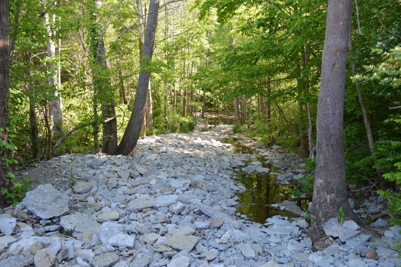
 Downstream of Cowan Lake Dam, where the spillway repairs are planned. courtesy of Kyle Hartshorn↗ (CC BY 2.0↗)
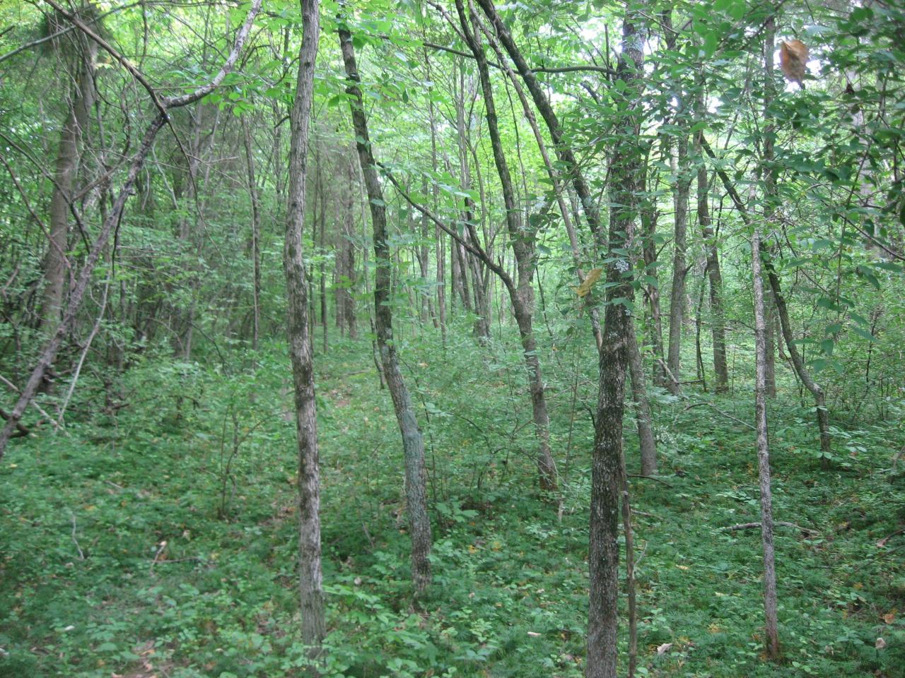
 Woodland on the peninsula at the north side of Cowan Lake, site of the Cowan Creek circular enclosur courtesy of Nyttend↗ (Public domain↗)
Other Swimming Holes, Hiking Trails, Canoeing Areas, and Kayaking Areas Nearby
Cowan Lake State Park
Wilmington
0.0 miles ECowan Lake's 1,000-foot public beach is free, unguarded and daylight only, on a 700-acre reservoir with a 10-horsepower limit that keeps it quiet. ODNR begins drawing the lake down 13.5 feet on November 1 for dam rehabilitation, and water is not expected
Camp, Canoe, Hike, Kayak, Swim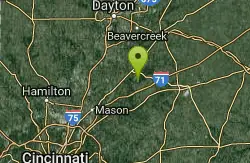
Caesar Creek State Park Visitor Center Trail
Waynesville, Ohio
11.0 miles NWA multi-use recreational area at Caesar Creek Lake offering camping, hiking, horseback riding, boating, fossil collecting, and more across 2,830 acres of water and 7,720 acres of land.
Hike
Caesar Creek State Park- Spillway Trail
Waynesville, Ohio
11.0 miles NWForty-three miles of hiking trails ranging from gentle meadows to rugged ravines wind through this 7,900-acre Ohio park centered on a stunning blue lake.
Hike
Little Miami River Area
Bellville, Ohio
13.0 miles NWSwim near Bellville, Ohio
Swim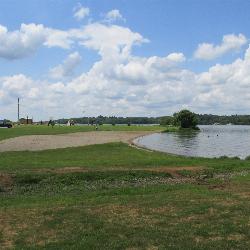
Rocky Fork Lake South Beach
Hillsboro
26.5 miles SESouth Beach is one of two free public swimming beaches on Rocky Fork Lake, run by the Ohio Department of Natural Resources about seven miles east of Hillsboro. Check the state's BeachGuard listing before you go, because this beach went under a bacteria ad
Camp, Canoe, Hike, Kayak, Swim 0.6 mi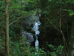
John Bryan State Park
Yellow Springs, Ohio
28.3 miles NThe most scenic state park in western Ohio — a 752-acre limestone gorge park just one mile from Yellow Springs, with 12.4 miles of mountain biking trails, hiking, rock climbing, and canoeing on the Little Miami River.
Hike, Mountain Bike, Rock Climb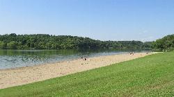
Shoemaker Beach
Bainbridge
30.0 miles EA 1,000-foot sand beach on Paint Creek Lake, the Army Corps reservoir at the center of Paint Creek State Park near Bainbridge. Swimming is inside the buoys only and there are no lifeguards, and Ohio's BeachGuard system tracks the water quality all season.
Camp, Canoe, Hike, Kayak, Swim
Deer Creek State Park
Mount Sterling, Ohio
38.6 miles NEA 2,337-acre resort park centered on a 1,700-foot swimming lake with two boat ramps, 232 campsites, 7 miles of trails, an 18-hole golf course, and a full marina with boat rentals.
Camp, Disc Golf, Hike, Mountain Bike, Sled, Swim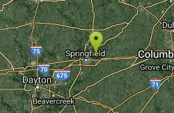
Buck Creek State Park Beach
Springfield, Ohio
40.2 miles NA 2,120-acre lake at the center of this 1,896-acre state park, offering swimming, boating, wetlands, broad meadows, wildlife watching, and 232 campsites in the heart of Ohio farmland.
Swim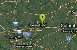
Buck Creek State Park Campground
Springfield, Ohio
41.6 miles NA 2,120-acre lake surrounded by wetlands, meadows, and diverse wildlife anchors this 1,896-acre park rich in Ohio history and endless water-based recreation.
Camp, Swim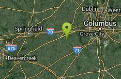
Sugar Maple Hiking Trail Madison Lake State Park
London, Ohio
43.7 miles NEA peaceful half-mile Sugar Maple Hiking Trail winds through woodlands and along the shoreline of small, serene Madison Lake — a quiet Darby Plains escape for anglers, canoeists, and rowers.
HikeNearby Campsites
Cowan Lake State Park
Wilmington
0.0 miles ECowan Lake's 1,000-foot public beach is free, unguarded and daylight only, on a 700-acre reservoir with a 10-horsepower limit that keeps it quiet. ODNR begins drawing the lake down 13.5 feet on November 1 for dam rehabilitation, and water is not expected
Camp, Canoe, Hike, Kayak, Swim
Rocky Fork Lake South Beach
Hillsboro
26.5 miles SESouth Beach is one of two free public swimming beaches on Rocky Fork Lake, run by the Ohio Department of Natural Resources about seven miles east of Hillsboro. Check the state's BeachGuard listing before you go, because this beach went under a bacteria ad
Camp, Canoe, Hike, Kayak, Swim
Shoemaker Beach
Bainbridge
30.0 miles EA 1,000-foot sand beach on Paint Creek Lake, the Army Corps reservoir at the center of Paint Creek State Park near Bainbridge. Swimming is inside the buoys only and there are no lifeguards, and Ohio's BeachGuard system tracks the water quality all season.
Camp, Canoe, Hike, Kayak, Swim
Deer Creek State Park
Mount Sterling, Ohio
38.6 miles NEA 2,337-acre resort park centered on a 1,700-foot swimming lake with two boat ramps, 232 campsites, 7 miles of trails, an 18-hole golf course, and a full marina with boat rentals.
Camp, Disc Golf, Hike, Mountain Bike, Sled, Swim
Buck Creek State Park Campground
Springfield, Ohio
41.6 miles NA 2,120-acre lake surrounded by wetlands, meadows, and diverse wildlife anchors this 1,896-acre park rich in Ohio history and endless water-based recreation.
Camp, Swim


