


Cowan Lake State Park
Wilmington
Camp, Canoe, Hike, Kayak, and Swim
Before planning anything at Cowan Lake, know that the lake is being drained. ODNR opens the dam valve on November 1 to begin rehabilitation of the Cowan Lake dam, dropping the water roughly two feet per day until it sits about 13.5 feet below summer pool. Construction runs from early 2027 into spring 2028, the lake is expected to stay drawn down through the entire 2027 season, and ODNR is targeting summer 2028 for a return to normal levels. ODNR says the lake stays open for fishing and kayaking at your own risk until there is no longer enough water and the boat ramps are inaccessible. The public beach is not posted as closed, but a drop of that size will leave the waterline a long way out from the sand, so treat 2027 as a lost season for swimming here and call the park office before driving out.
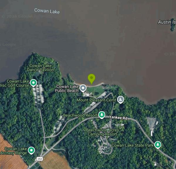
In a normal year the swimming is at a 1,000-foot public beach on the south lake shore, near the Dance Pavilion. There is a changing house and there are restrooms. Swimming is allowed during daylight hours only, and only inside the designated area marked by buoys. Nobody is watching the water. Ohio State Parks do not put lifeguards on their beaches, so every swim is at your own risk, and ODNR asks visitors to keep an eye on children and inexperienced swimmers. The beach is Carry In, Carry Out with no trash cans, so bring a bag. A separate boat swim area and a boat camp sit in the northern part of the lake, and the campground has its own beach, which the Ohio Department of Health monitors as a public-access site in its own right.
There is no fee to enter and no fee to use the beach. ODNR charges no entrance fee at Ohio state parks, and its own swimming page states that state park beaches are open year-round and are always free. What ODNR does charge for is overnight and dock use: the campground's 254 sites and 21 cabins, and the 48 seasonal docks, all booked through the state reservation line on 866-644-6727. The marina concession charged separately for boat and paddlecraft rentals, and that arrangement is ending. The Taylor family had run the marina under state contract since 1985 and will not have its agreement renewed, because the building is being demolished and rebuilt with new state-owned docks, a retaining wall and municipal water.
Cowan Lake's water quality problem is bacteria, not algae. The Ohio Department of Health monitors two beaches here, Cowan Lake Main and Cowan Lake Camp, and has posted fifteen advisories between 2011 and 2025. Every one of them was for high bacteria levels, typically after rain, and most lasted somewhere between two and nine days. The most recent went up at both beaches on July 23, 2025 and cleared on July 28. In that whole record there is not a single harmful algal bloom advisory, and Cowan Lake does not appear on Ohio's public HAB advisory site. Check BeachGuard before you go between Memorial Day and Labor Day, and give the lake a day or two after a heavy storm.
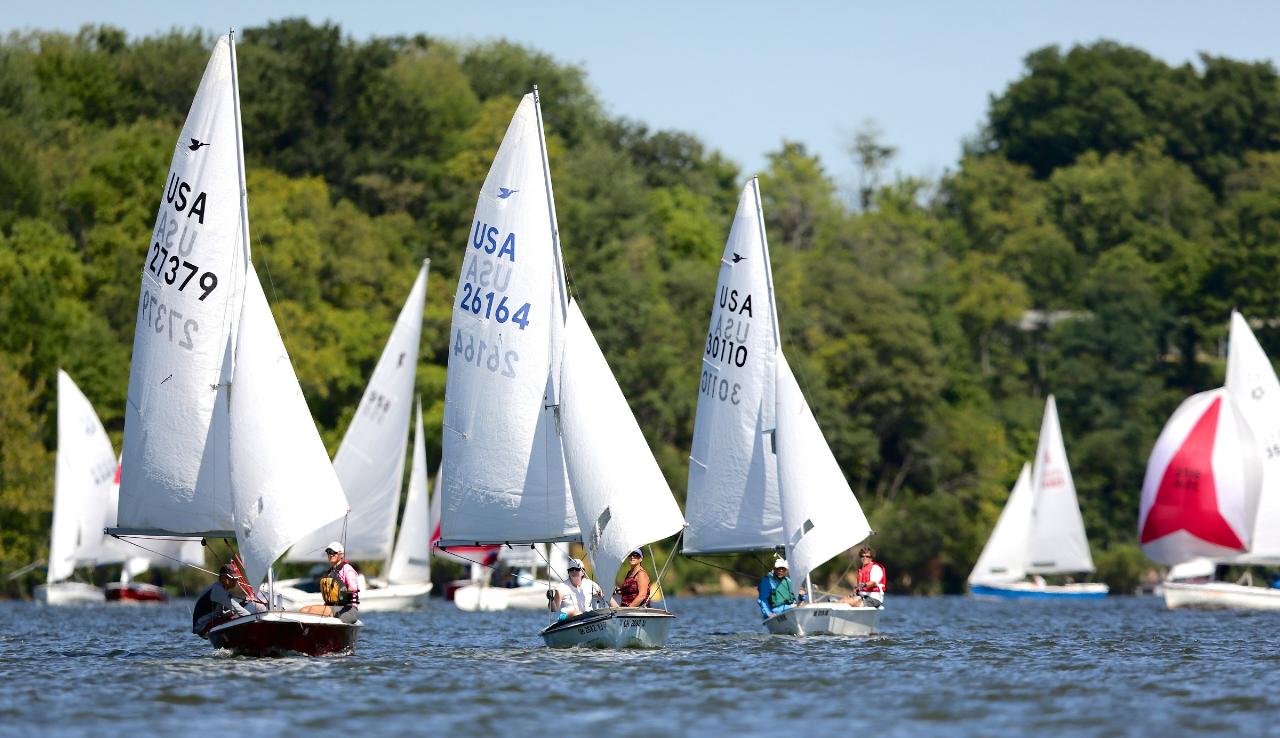
The lake was impounded in 1950 on Cowan Creek, so this is a reservoir rather than a natural lake, whatever you may read elsewhere. Boats are capped at 10 horsepower. That single rule is why sailing dinghies and kayaks dominate the surface, and why the Cowan Lake Sailing Association has been racing Snipes here for decades. Three ramps and an accessible kayak launch ring the shoreline, and the campground commissary rents kayaks and paddleboards seasonally, first come first served. On land there are more than eight miles of hiking trails, including Emerald Woods at 1.8 miles, the 2.6-mile Spillway trail on the south side, and short campground loops such as Beechnut and Lakeview. An 18-hole disc golf course sits near the Dance Pavilion and the public beach, and there is a nature center and a half-mile Storybook Trail. Park hours are 6am to 11pm. The park office number is (937) 382-1096.
More Information
Cowan Lake near Clarksville OH - USGS Water Data for the Nation
Discover water data collected at monitoring location USGS-03243800, located in Clinton County, Ohio and find additional nearby monitoring locations.
https://waterdata.usgs.gov/monitoring-location/USGS-03243800/Cowan Lake State Park
Located in southwest Ohio, this 1,775-acre park offers a peaceful lake setting complete with scenic inlets and wooded shoreline. Swimming, fishing, sailing, and kayaking are popular at the lake.
https://ohiodnr.gov/go-and-do/plan-a-visit/find-a-property/cowan-lake-state-parkCowan Lake State Park Campground
Located in southwest Ohio, this large pet-friendly campground offers a variety of sites within walking distance of camp store, nature center, and lake.
https://ohiodnr.gov/go-and-do/plan-a-visit/find-a-property/cowan-lake-state-park-campgroundHarmful Algal Blooms
Algal blooms have become more noticeable in Ohio’s lakes, streams, and rivers during the last few years. Although most blooms are green algae and not harmful, there are some that are actually a type of cyanobacteria that have the ability to produce toxins – called harmful algal blooms (HABs).
https://ohioalgaeinfo.com/Harmful Algal Blooms (HABs)
Learn more about blue-green algae and cyanobacteria blooms on Ohio waterways.
https://ohiodnr.gov/discover-and-learn/land-water/inland-lakes/harmful-algal-blooms-habsSwimming
Many Ohio State Parks offer beaches for swimming, sunbathing, or just playing in the sand. Several state parks also offer seasonal splash pads and swimming pools. All of the resort lodges have swimming pools.
https://ohiodnr.gov/go-and-do/family-friendly/swimming/swimmingBe courteous, informed, and prepared. Read trailhead guidelines, stay on the trail, and don't feed the wildlife.
Read More
- Plan Ahead and Prepare
- Travel & camp on durable surfaces
- Dispose of waste properly
- Leave what you find
- Minimize campfire impacts
- Respect wildlife
- Be considerate of other visitors
Directions
From Wilmington
- Head north on US-117 N/
College Rd toward Oleander Dr (4.2 mi) - Continue onto I-40 (194 mi)
- Take exit 131 for I-40 W toward I-785 N/
Greensboro/ Winston-Salem (0.4 mi) - Take the ramp to I-40 (184 ft)
- Continue onto I-40 (7.2 mi)
- Slight right onto I-40/
US-220 S (signs for Winston-Salem) Continue to follow I-40(12.6 mi) - Take exit 206 for US-421 N toward Salem Pkwy Kernersville/
Winston-Salem/ Downtown (0.3 mi) - Continue onto US-421 N (6.2 mi)
- Take exit 227 for NC-74 W toward US-311 (0.8 mi)
- Merge onto I-74 W/
NC-74 (11.1 mi) - Continue onto NC-74 (1.8 mi)
- Continue onto US-52 N (20.9 mi)
- Take exit 18 for I-74 W toward I-77/
Wytheville (0.5 mi) - Continue onto I-74 W (11.2 mi)
- Keep right to stay on I-74 W, follow signs for I-77 N/
Wytheville Entering Virginia(5.0 mi) - Continue onto I-77 N (31.9 mi)
- Take the exit onto I-77 N/
I-81 S toward Bluefield/ Wytheville (9.1 mi) - Take exit 72 for I-77 N toward Bluefield/
Charleston W.VA (0.4 mi) - Continue onto I-77 NToll roadEntering West Virginia(127 mi)
- Slight left onto I-64 W (17.9 mi)
- Take exit 40 toward Winfield/
Pt. Pleasant (0.6 mi) - Merge onto US-35 NEntering Ohio(96.2 mi)
- Slight left onto US-35 W (signs for Dayton) (30.5 mi)
- Take exit 82 toward US-22/
US-62/ OH-3/ Washington CH/ Hillsboro (0.2 mi) - Turn left (0.1 mi)
- Turn left onto US-22 WParts of this road may be closed at certain times or days(17.6 mi)
- Exit on the left onto OH-73 E toward Hillsboro (1.1 mi)
- Turn right onto Airborne Rd (3.5 mi)
- Turn left onto OH-134 S (0.2 mi)
- Turn right onto Ireland Rd (2.2 mi)
- Turn left onto Cuba Rd (2.0 mi)
- Turn right onto OH-350 W (2.6 mi)
- Turn right onto Yankee Rd (0.3 mi)
- Slight left (463 ft)
- Turn rightDestination will be on the right(0.4 mi)
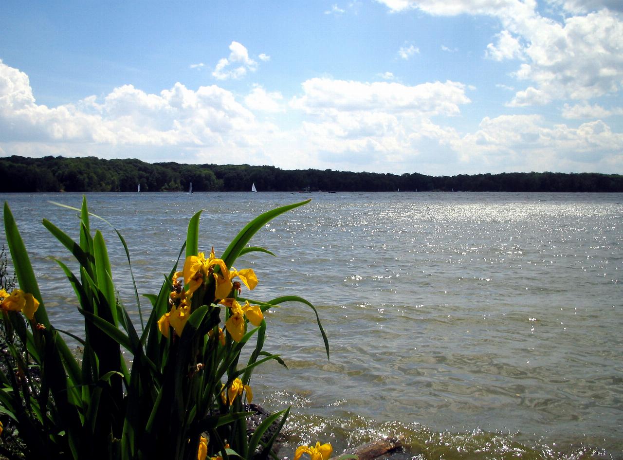
 Sunlit open water and distant sailboats from the Cowan Lake shoreline in summer. courtesy of Kfasimpaur↗ (Public domain↗)
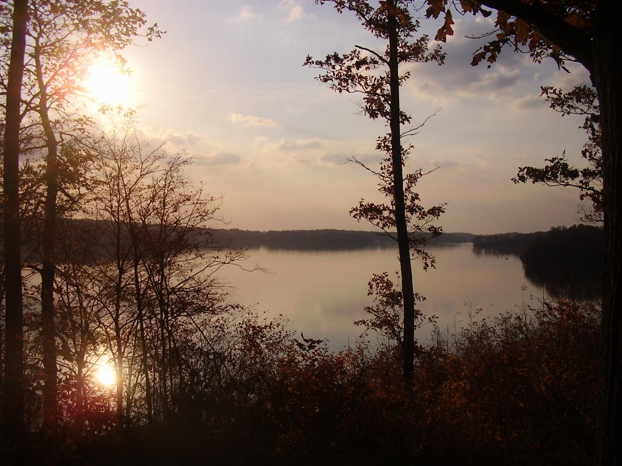
 Sunset over Cowan Lake through the trees on the wooded shore. courtesy of Mason Brock (Masebrock)↗ (Public domain↗)
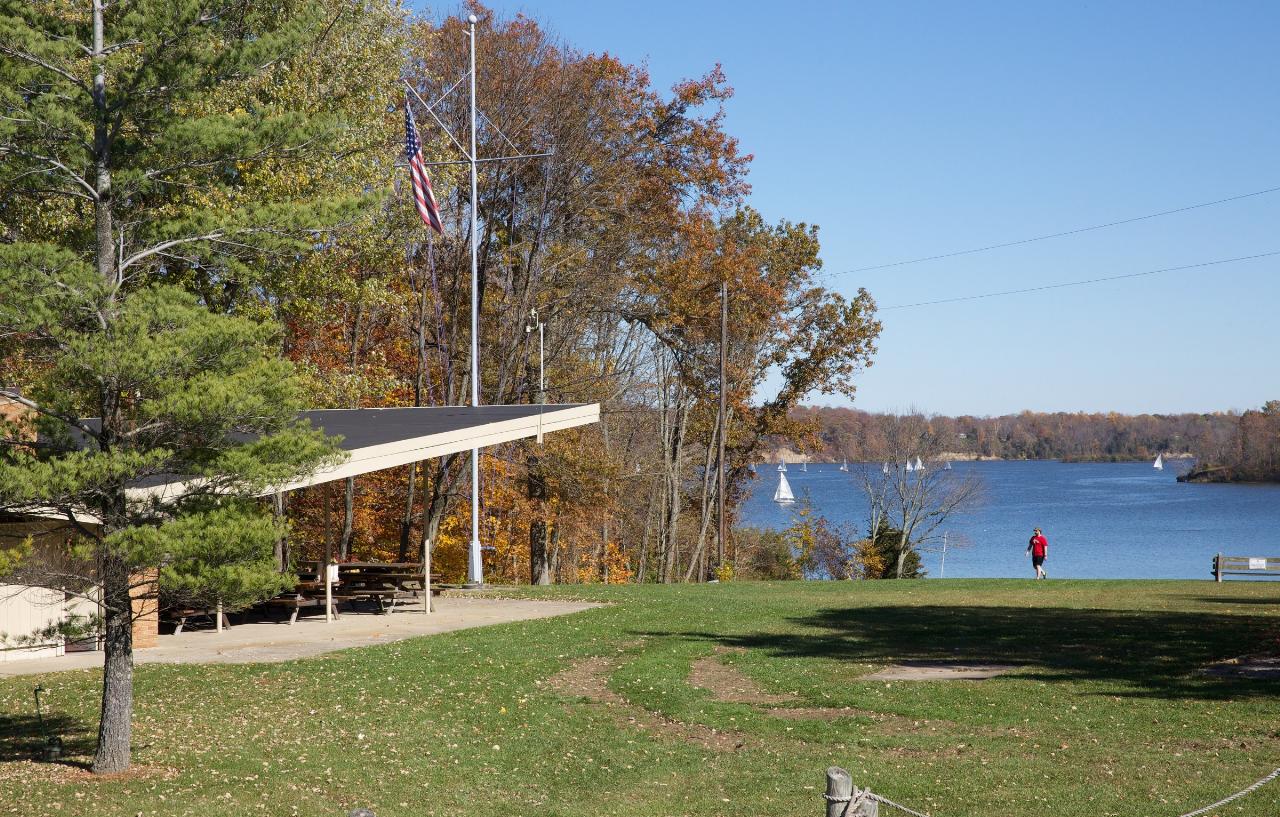
 Open lawn and a picnic shelter above the lake, with sailboats out on the water in autumn. courtesy of R S Tsuchiya↗ (CC BY-SA 3.0↗)
 Snipe dinghies racing on Cowan Lake, where the 10-horsepower limit keeps sail and paddle craft in ch courtesy of R S Tsuchiya↗ (CC BY-SA 3.0↗)
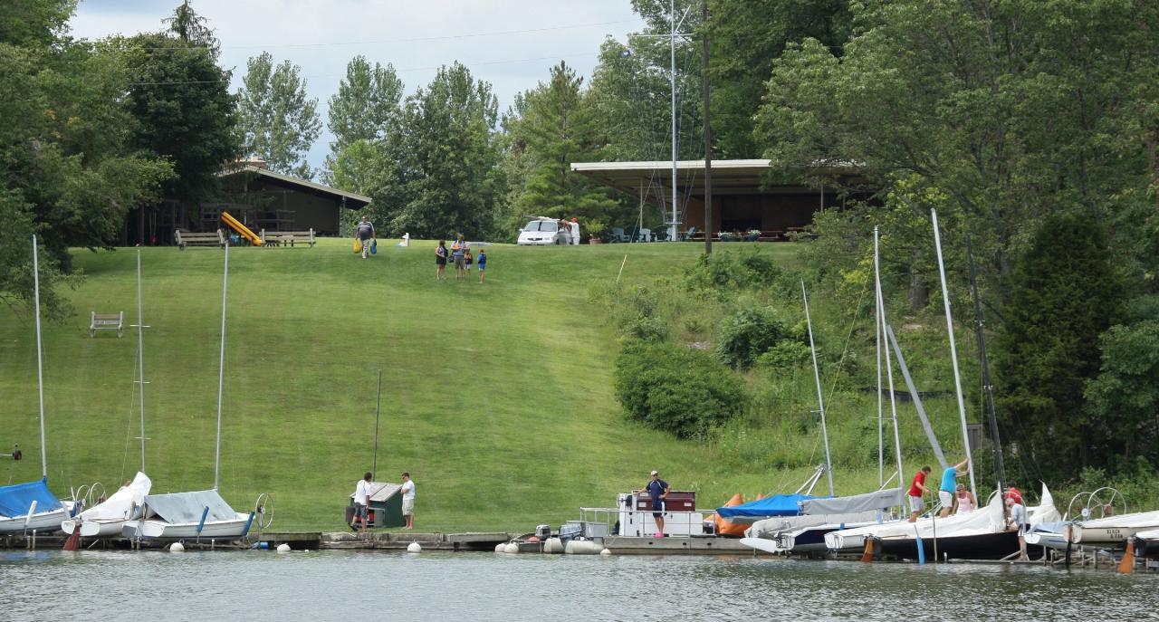
 Small boats, docks and a grassy launch slope at the Cowan Lake Sailing Association. courtesy of R S Tsuchiya↗ (CC BY-SA 3.0↗)
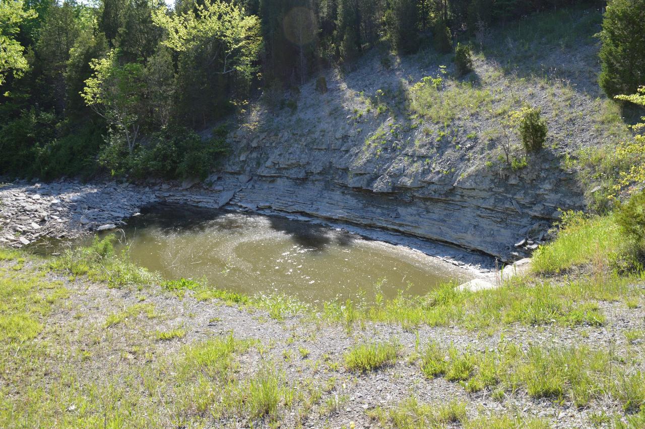
 The plunge pool and layered shale outcrop below the Cowan Lake dam and spillway. courtesy of Kyle Hartshorn↗ (CC BY 2.0↗)
Other Swimming Holes, Hiking Trails, Canoeing Areas, and Kayaking Areas Nearby
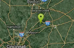
Caesar Creek State Park Visitor Center Trail
Waynesville, Ohio
11.0 miles NWA multi-use recreational area at Caesar Creek Lake offering camping, hiking, horseback riding, boating, fossil collecting, and more across 2,830 acres of water and 7,720 acres of land.
Hike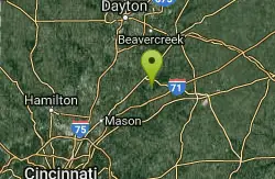
Caesar Creek State Park- Spillway Trail
Waynesville, Ohio
11.1 miles NWForty-three miles of hiking trails ranging from gentle meadows to rugged ravines wind through this 7,900-acre Ohio park centered on a stunning blue lake.
Hike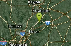
Little Miami River Area
Bellville, Ohio
13.1 miles NWSwim near Bellville, Ohio
Swim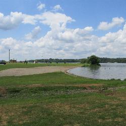
Rocky Fork Lake South Beach
Hillsboro
26.5 miles SESouth Beach is one of two free public swimming beaches on Rocky Fork Lake, run by the Ohio Department of Natural Resources about seven miles east of Hillsboro. Check the state's BeachGuard listing before you go, because this beach went under a bacteria ad
Camp, Canoe, Hike, Kayak, Swim 0.6 mi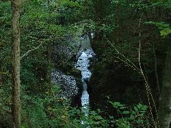
John Bryan State Park
Yellow Springs, Ohio
28.3 miles NThe most scenic state park in western Ohio — a 752-acre limestone gorge park just one mile from Yellow Springs, with 12.4 miles of mountain biking trails, hiking, rock climbing, and canoeing on the Little Miami River.
Hike, Mountain Bike, Rock Climb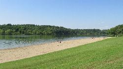
Shoemaker Beach
Bainbridge
29.9 miles EA 1,000-foot sand beach on Paint Creek Lake, the Army Corps reservoir at the center of Paint Creek State Park near Bainbridge. Swimming is inside the buoys only and there are no lifeguards, and Ohio's BeachGuard system tracks the water quality all season.
Camp, Canoe, Hike, Kayak, Swim
Deer Creek State Park
Mount Sterling, Ohio
38.5 miles NEA 2,337-acre resort park centered on a 1,700-foot swimming lake with two boat ramps, 232 campsites, 7 miles of trails, an 18-hole golf course, and a full marina with boat rentals.
Camp, Disc Golf, Hike, Mountain Bike, Sled, Swim
Buck Creek State Park Beach
Springfield, Ohio
40.2 miles NA 2,120-acre lake at the center of this 1,896-acre state park, offering swimming, boating, wetlands, broad meadows, wildlife watching, and 232 campsites in the heart of Ohio farmland.
Swim
Buck Creek State Park Campground
Springfield, Ohio
41.6 miles NA 2,120-acre lake surrounded by wetlands, meadows, and diverse wildlife anchors this 1,896-acre park rich in Ohio history and endless water-based recreation.
Camp, Swim
Sugar Maple Hiking Trail Madison Lake State Park
London, Ohio
43.7 miles NEA peaceful half-mile Sugar Maple Hiking Trail winds through woodlands and along the shoreline of small, serene Madison Lake — a quiet Darby Plains escape for anglers, canoeists, and rowers.
HikeNearby Campsites
Rocky Fork Lake South Beach
Hillsboro
26.5 miles SESouth Beach is one of two free public swimming beaches on Rocky Fork Lake, run by the Ohio Department of Natural Resources about seven miles east of Hillsboro. Check the state's BeachGuard listing before you go, because this beach went under a bacteria ad
Camp, Canoe, Hike, Kayak, Swim
Shoemaker Beach
Bainbridge
29.9 miles EA 1,000-foot sand beach on Paint Creek Lake, the Army Corps reservoir at the center of Paint Creek State Park near Bainbridge. Swimming is inside the buoys only and there are no lifeguards, and Ohio's BeachGuard system tracks the water quality all season.
Camp, Canoe, Hike, Kayak, Swim
Deer Creek State Park
Mount Sterling, Ohio
38.5 miles NEA 2,337-acre resort park centered on a 1,700-foot swimming lake with two boat ramps, 232 campsites, 7 miles of trails, an 18-hole golf course, and a full marina with boat rentals.
Camp, Disc Golf, Hike, Mountain Bike, Sled, Swim
Buck Creek State Park Campground
Springfield, Ohio
41.6 miles NA 2,120-acre lake surrounded by wetlands, meadows, and diverse wildlife anchors this 1,896-acre park rich in Ohio history and endless water-based recreation.
Camp, Swim


