


Rocky Fork Lake South Beach
Hillsboro
Camp, Canoe, Hike, Kayak, and Swim
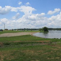
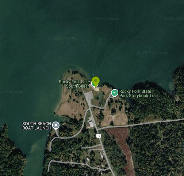
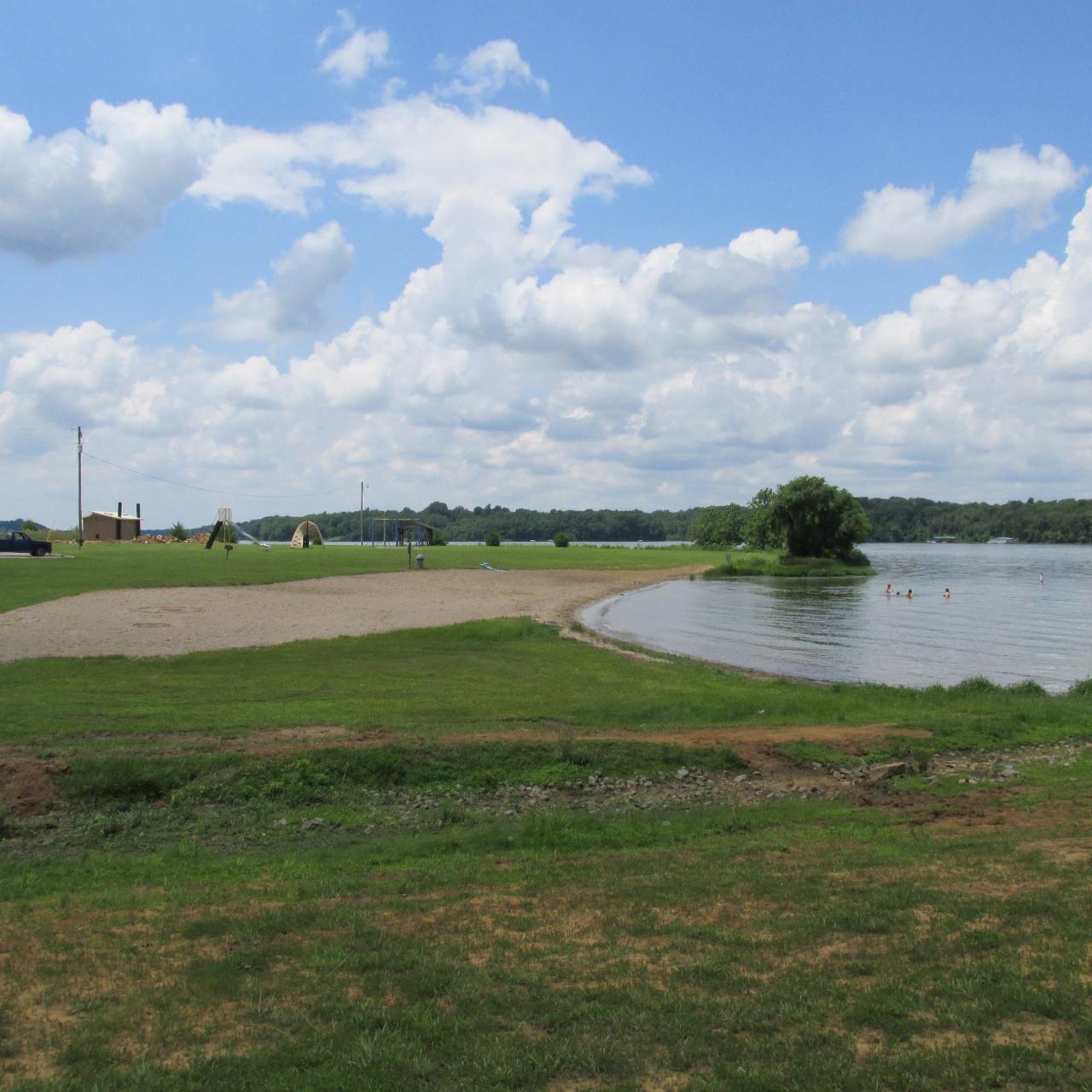
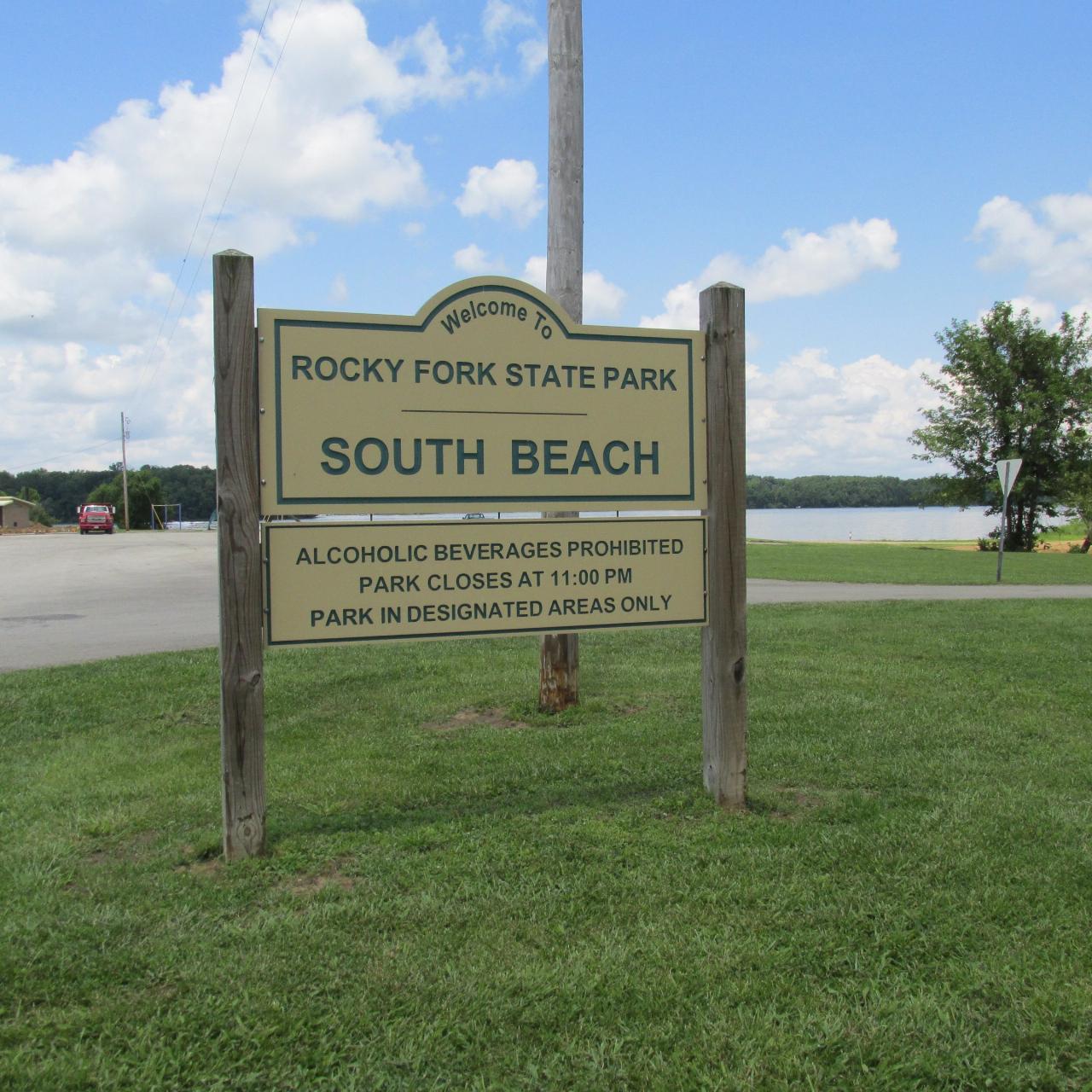
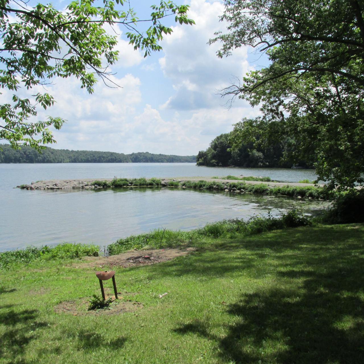
South Beach sits on the south shore of Rocky Fork Lake, a 2,080 acre reservoir inside Rocky Fork State Park in Highland County, about seven miles east of Hillsboro. The Ohio Department of Natural Resources runs the park and uses the name South Beach throughout its own facility listings, so the name on this page is the official one. The Ohio Department of Health, which samples the water here, files the same stretch of sand under Rocky Fork - South in its BeachGuard system. Those are two names for one beach. Rocky Fork Lake has exactly two public swimming beaches, this one and North Beach across the water near the marina, and ODNR counts them together as 800 feet of lake access.
There is no fee of any kind. Ohio's 76 state parks are open every day and always free, and nothing at South Beach changes that: no admission, no parking charge, no beach pass, no seasonal sticker. The nine hole disc golf course laid out behind the sand is free to play, and ODNR loans the discs at the camp store. The only money this park asks for is camping, dock rentals and reservable shelters, none of which you need for a swim.
Water quality is the thing to check before you make the drive. ODNR and the Ohio Department of Health monitor this beach from Memorial Day through Labor Day and post results to BeachGuard, and Rocky Fork South carries a long bacteria record. The state file lists seventeen advisories going back to 2014, every single one for high bacteria rather than algae. The 2026 season had three: May 21 through June 18, then July 2 through July 9, then July 30 through August 6. The 2025 season had two shorter ones in late June and early July. An advisory does not close the beach. The gate stays open and nobody turns you away, but the state is telling you that E. coli exceeded the standard on the day it sampled, and the risk falls hardest on small children and anyone with a weakened immune system. Rain is usually what drives the numbers up, so a dry stretch is a far better bet than the morning after a storm.
Facilities are practical. The parking lot sits about thirty yards back from the water with restrooms close by. The South Beach Shelter is an open 20 by 22 foot structure with grills and six picnic tables and room for fifty vehicles, and it cannot be reserved: first come, first served. There is a playground beside the beach and a youth fishing pond just behind it. The South Beach launch ramp is a single lighted lane with trailer parking and a pit latrine, which keeps this corner of the lake busier on a July weekend than the acreage would suggest.
The rules are short. Swimming is permitted in designated beach areas only, which at Rocky Fork means this beach, North Beach, and the marked boat swim area out on the lake. Daylight hours only. ODNR posts the beach as swim at your own risk, and there is no lifeguard service. Pets are not permitted on either swimming beach, though they are welcome elsewhere in the park including every campsite. Park hours run 6am to 11pm. The park office answers at (937) 393-4284 on weekdays between 9am and 4:30pm.
Rocky Fork is a made lake. Ohio began the dam in 1949, the park was created in 1950, and the first water spilled over in April 1953. The creek that feeds it cut a 75 foot gorge nearby after glacial ice reversed its direction more than 12,000 years ago, and that gorge still holds Sullivantia, a wildflower nearly absent from the rest of the state. The lake allows unlimited horsepower boating and carries over 700 docks, so this is water ski country. Traffic stays clear of the swim area, but you will hear it. Rocky Fork Gorge and Miller Nature Sanctuary state nature preserves are both close if you want to trade the sand for shade.
More Information
Be courteous, informed, and prepared. Read trailhead guidelines, stay on the trail, and don't feed the wildlife.
Read More
- Plan Ahead and Prepare
- Travel & camp on durable surfaces
- Dispose of waste properly
- Leave what you find
- Minimize campfire impacts
- Respect wildlife
- Be considerate of other visitors
Directions
From Hillsboro
- Head north on N 1st Ave toward NW Lincoln St (0.9 mi)
- Turn right onto NE Harewood St (0.6 mi)
- At the traffic circle, take the 3rd exit onto NE Jackson School Rd (0.8 mi)
- Turn right onto NE Evergreen Rd (0.3 mi)
- Turn left onto NW Jackson School Rd (1.6 mi)
- At the traffic circle, take the 2nd exit and stay on NW Jackson School Rd (0.5 mi)
- Turn right onto the ramp to Portland (0.4 mi)
- Merge onto US-26 E (14.6 mi)
- Take the exit toward I-405 S (492 ft)
- Take the ramp onto I-405 S (0.9 mi)
- Take the exit onto I-5 N toward I-84 E/
The Dalles/ Seattle (0.9 mi) - Take exit 300 for I-84 E/
US-30 E toward Portland Arpt/ The Dalles (1.1 mi) - Continue onto I-84 E/
US-30 E Continue to follow I-84 EEntering Idaho(596 mi) - Keep right to stay on I-84 E, follow signs for Ogden/
Salt Lake Entering Utah(135 mi) - Take exit 340 for I-84 E toward I-80 E/
Cheyenne (1.0 mi) - Continue onto I-84 E (38.0 mi)
- Take exit 120A on the left to merge onto I-80 E toward CheyennePassing through WyomingEntering Nebraska(876 mi)
- Keep left to stay on I-80 EEntering Iowa(146 mi)
- Keep left to stay on I-80 E (152 mi)
- Take exit 290 for I-280 E/
US-6 E/ US-61 S toward Rock Island/ Moline (0.6 mi) - Continue onto I-280 E/
US-6 E/ US-61 N Continue to follow I-280 EEntering Illinois(26.3 mi) - Take exit 14 for I-74 E toward Peoria (0.7 mi)
- Merge onto I-74 (112 mi)
- Take the I-55 S/
I-74 E exit toward St Louis/ Indianapolis (1.0 mi) - Merge onto I-55 S/
I-74 (5.6 mi) - Keep left to continue on I-74Entering Indiana(160 mi)
- Keep left to stay on I-74, follow signs for I-465 S (1.0 mi)
- Continue onto I-465 S (19.2 mi)
- Take exit 49 for I-74 E toward Cincinnati (0.5 mi)
- Continue onto I-74Entering Ohio(86.9 mi)
- Keep left to continue on I-275 N, follow signs for Dayton (28.5 mi)
- Take exit 57 for OH-28 toward Blanchester/
Milford (0.4 mi) - Turn left onto OH-28 E (1.3 mi)
- Take the Wolfpen-Pleasant Hill Rd S exit (0.2 mi)
- Slight right onto Wolfpen Pleasant Hill Rd (1.2 mi)
- Turn left onto OH-131 EPass by the gas station (on the right)(8.4 mi)
- Turn right onto OH-131 E/
Wright St Continue to follow OH-131 E(6.7 mi) - Turn left onto US-50 EPass by Enterprise Rent-A-Car (on the left in 18.4 mi)(19.7 mi)
- Slight right onto OH-124 E/
E Main St/ Marshall Pike Continue to follow OH-124 E(7.4 mi) - Continue straight onto OH-506 E (0.4 mi)
- Turn left onto Blue Ribbon Rd (2.1 mi)
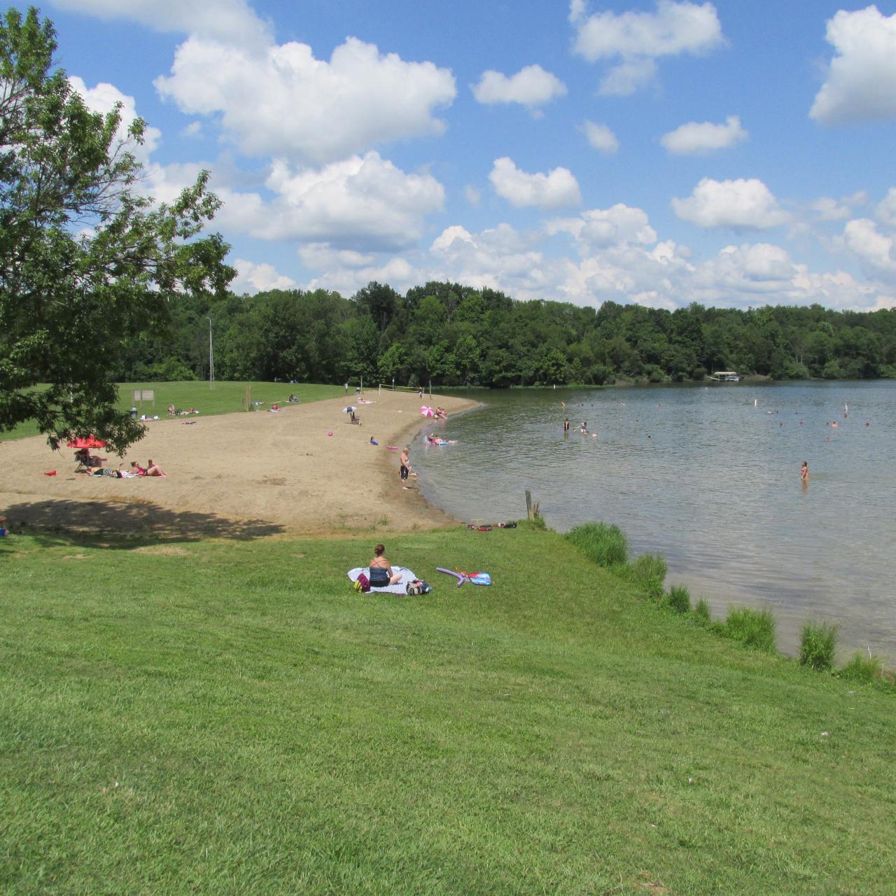
 The South Beach swimming area at Rocky Fork State Park. courtesy of Aesopposea↗ (CC BY-SA 3.0↗)
 A second view of the South Beach swimming area. courtesy of Aesopposea↗ (CC BY-SA 3.0↗)
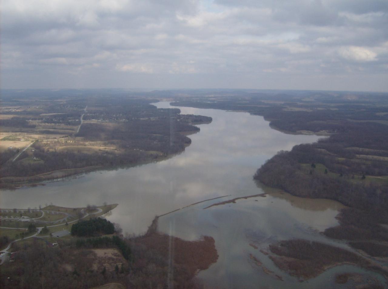
 Rocky Fork Lake from the air, looking over the western end of the reservoir. courtesy of Nyttend↗ (Public domain↗)
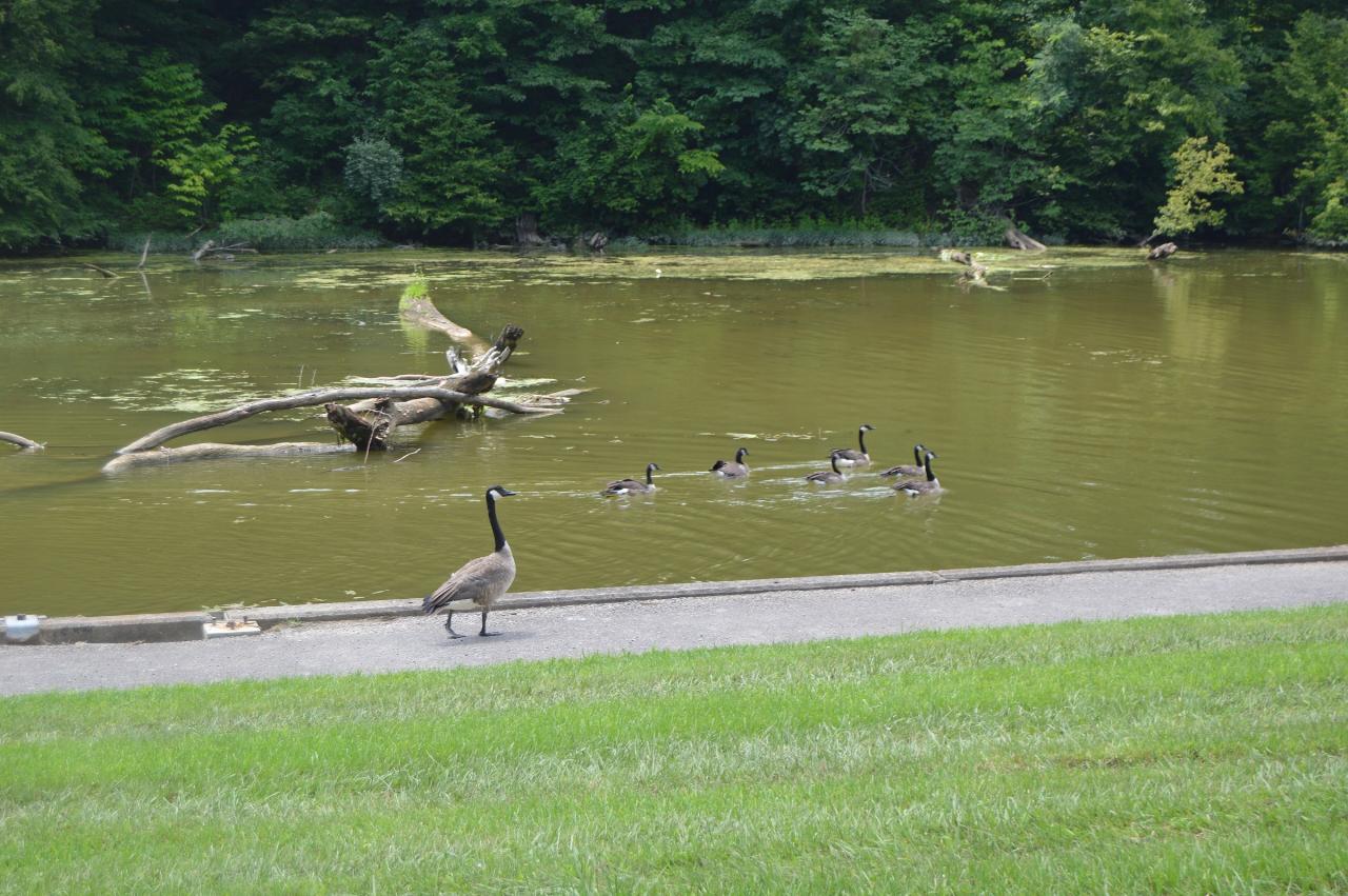
 Geese at the boat dock area on the southern side of Rocky Fork Lake, looking west from Fisherman's W courtesy of Nyttend↗ (Public domain↗)
 North Beach, the second public swimming beach at Rocky Fork State Park. courtesy of Aesopposea↗ (CC BY-SA 3.0↗)
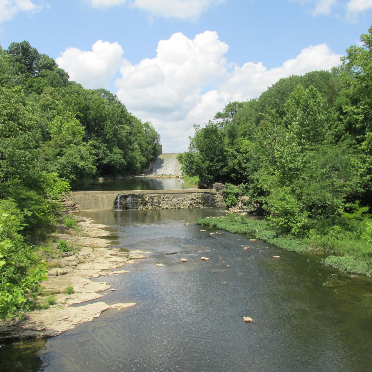
 Rocky Fork Dam, which impounds Rocky Fork Creek to form the lake. courtesy of Aesopposea↗ (CC BY-SA 3.0↗)
 Blinko Fishing Pier and picnic area on Rocky Fork Lake, known locally as The T. courtesy of Aesopposea↗ (CC BY-SA 3.0↗)
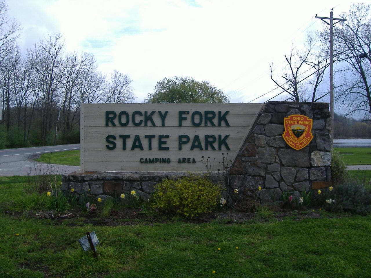
 Entrance to Rocky Fork State Park in Highland County, Ohio. courtesy of Aesopposea↗ (CC BY-SA 3.0↗)
Other Swimming Holes, Hiking Trails, Canoeing Areas, and Kayaking Areas Nearby
Shoemaker Beach
Bainbridge
6.8 miles NEA 1,000-foot sand beach on Paint Creek Lake, the Army Corps reservoir at the center of Paint Creek State Park near Bainbridge. Swimming is inside the buoys only and there are no lifeguards, and Ohio's BeachGuard system tracks the water quality all season.
Camp, Canoe, Hike, Kayak, Swim
Cowan Lake State Park
Wilmington
26.5 miles NWCowan Lake's 1,000-foot public beach is free, unguarded and daylight only, on a 700-acre reservoir with a 10-horsepower limit that keeps it quiet. ODNR begins drawing the lake down 13.5 feet on November 1 for dam rehabilitation, and water is not expected
Camp, Canoe, Hike, Kayak, Swim
Deer Creek State Park
Mount Sterling, Ohio
33.2 miles NA 2,337-acre resort park centered on a 1,700-foot swimming lake with two boat ramps, 232 campsites, 7 miles of trails, an 18-hole golf course, and a full marina with boat rentals.
Camp, Disc Golf, Hike, Mountain Bike, Sled, Swim
Caesar Creek State Park Visitor Center Trail
Waynesville, Ohio
37.4 miles NWA multi-use recreational area at Caesar Creek Lake offering camping, hiking, horseback riding, boating, fossil collecting, and more across 2,830 acres of water and 7,720 acres of land.
Hike
Caesar Creek State Park- Spillway Trail
Waynesville, Ohio
37.4 miles NWForty-three miles of hiking trails ranging from gentle meadows to rugged ravines wind through this 7,900-acre Ohio park centered on a stunning blue lake.
Hike
Little Miami River Area
Bellville, Ohio
39.5 miles NWSwim near Bellville, Ohio
Swim 0.6 mi
John Bryan State Park
Yellow Springs, Ohio
46.6 miles NWThe most scenic state park in western Ohio — a 752-acre limestone gorge park just one mile from Yellow Springs, with 12.4 miles of mountain biking trails, hiking, rock climbing, and canoeing on the Little Miami River.
Hike, Mountain Bike, Rock Climb
Sugar Maple Hiking Trail Madison Lake State Park
London, Ohio
47.8 miles NA peaceful half-mile Sugar Maple Hiking Trail winds through woodlands and along the shoreline of small, serene Madison Lake — a quiet Darby Plains escape for anglers, canoeists, and rowers.
HikeNearby Campsites
Shoemaker Beach
Bainbridge
6.8 miles NEA 1,000-foot sand beach on Paint Creek Lake, the Army Corps reservoir at the center of Paint Creek State Park near Bainbridge. Swimming is inside the buoys only and there are no lifeguards, and Ohio's BeachGuard system tracks the water quality all season.
Camp, Canoe, Hike, Kayak, Swim
Cowan Lake State Park
Wilmington
26.5 miles NWCowan Lake's 1,000-foot public beach is free, unguarded and daylight only, on a 700-acre reservoir with a 10-horsepower limit that keeps it quiet. ODNR begins drawing the lake down 13.5 feet on November 1 for dam rehabilitation, and water is not expected
Camp, Canoe, Hike, Kayak, Swim
Deer Creek State Park
Mount Sterling, Ohio
33.2 miles NA 2,337-acre resort park centered on a 1,700-foot swimming lake with two boat ramps, 232 campsites, 7 miles of trails, an 18-hole golf course, and a full marina with boat rentals.
Camp, Disc Golf, Hike, Mountain Bike, Sled, Swim


