


Crystal Crag
Mammoth Lakes, California
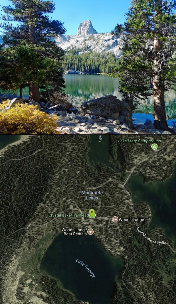
| Address: | Inyo National Forest, 40 Around Lake Mary Rd, Mammoth Lakes, CA 93546, USA |
| GPS: |
37°36'11.7"N 119°0'40.6"W Maps | Directions |
| State: | California |
Lakes
Rock Climb
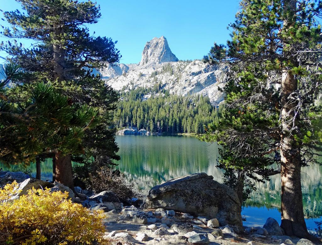
Visible from all the lakes around, Crystal Crag stands tall and is a popular place to rock climb and go mountaineering. It stands at 10,100 ft in elevation, and includes a North Ridge and a South Ridge. With many other well known climbing spots nearby (i.e. Yosemite, Kings Canyon, etc) this spot isn't too crowded with climbers.
The crag is accessed by taking the Crystal Lakes trail and then continuing around the lake. Climbers can find a climbers trail near the lake which will then take them to the base of the crag, about a 45 minute hike. There is a variety of ascents with a variety of difficulty throughout. Most of the routes are multi-pitch if climbers want to go all the way to the summit. Routes range from 5.5-5.11a. The rock on the crag is mostly granite, though one spot has an area of white quartz, where the name Crystal Crag most likely comes from. There can be a lot of loose rock when people are climbing on the North Face Route, so please use caution. The East Face has some sport routes set up, but loose rock from the North Face route sometimes falls into the East Face route.
More Information
Crystal Crag : Climbing, Hiking & Mountaineering : SummitPost
Crystal Crag : SummitPost.org : Climbing, hiking, mountaineering
https://www.summitpost.org/crystal-crag/151086Rock Climb North Arête, Eastern Sierra
Find rock climbing routes, photos, and guides for every state, along with experiences and advice from fellow climbers.
https://www.mountainproject.com/route/106191526/north-arete
- Plan Ahead and Prepare
- Travel & camp on durable surfaces
- Dispose of waste properly
- Leave what you find
- Minimize campfire impacts
- Respect wildlife
- Be considerate of other visitors
Directions
From Mammoth Lakes, California
- Head west (276 ft)
- Turn left toward Main St (240 ft)
- Turn right onto Main St (0.5 mi)
- Continue straight onto Lake Mary Rd (394 ft)
- Continue straight to stay on Lake Mary Rd (2.2 mi)
- Continue onto Lake Mary RdParts of this road may be closed at certain times or days(1.1 mi)
- Continue onto Lake Mary Rd (0.5 mi)
- Turn left onto Around Lake Mary Rd (0.3 mi)
- Turn right onto Lake George Rd (0.3 mi)
- Turn left (13 ft)

Nearby Campsites
Crystal Lake
Mammoth Lakes, California
0.0 miles NA 3.2-mile roundtrip Sierra day hike past Lake George, Lake Marie, and Lake Mamie, ending at Crystal Lake beneath the monolith Crystal Crag — shaded trail with room to swim, fish, or picnic lakeside.
Camp, Hike
Crowley Lake Campground
Crowley Lake, California
13.5 miles ENestled in the stunning Eastern Sierra near Crowley Lake, this BLM campground offers first-come, first-served sites for tents, RVs, and trailers with breathtaking high-desert views.
Camp
Wild Willy's Hot Spring
Mammoth Lakes, California
13.7 miles EA soaking hot spring in Long Valley's open sagebrush plain — pools range from 95°F to 105°F, with a larger deeper pool and smaller, hotter pools, reached by a 0.2-mile wooden boardwalk from the parking area.
Camp, Hot Springs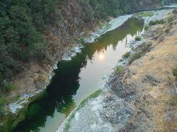
Standish Hickey Area
Lakeshore, California
19.2 miles SA two-mile stretch of the south fork of the Eel River inside a redwood canyon 180 miles from San Francisco — swim, kayak, fish, or hike, then camp near the 1,200-year-old Captain Miles Standish Tree.
Backpack, Camp, Hike, Kayak, Swim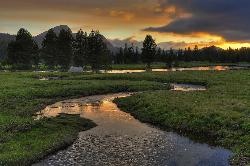
Tuolumne Meadows
Tuolumne County, California
26.3 miles NWA stunning alpine meadow in the high Sierra with granite domes and mountain views, the meandering Tuolumne River, and access to Yosemite backcountry — open summer only when the park road is clear.
Camp, Hike 4.0 mi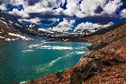
Saddlebag Lake
Lee Vining, California
28.8 miles NWAt 10,008 ft, this Eastern Sierra alpine lake offers exceptional trout fishing, a scenic four-mile loop, and a water taxi into the heart of the Twenty Lakes Basin.
Camp, Canoe, Hike 6.1 mi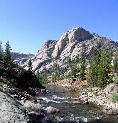
Glen Aulin
Wawona, California
30.7 miles NWAn 11-mile hike along the Tuolumne River to Glen Aulin with 800 feet of gain, passing Tuolumne Falls, Soda Springs, wildflower meadows, and the stunning White Cascade.
Backpack, Camp, Hike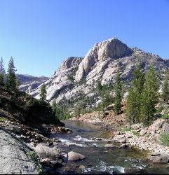
Glen Aulin
Glen Aulin, California
30.7 miles NWA popular introductory Yosemite High Country backcountry hike following the Tuolumne River to a High Sierra Camp beside the White Cascade waterfall, with further options to Waterwheel Falls.
Backpack, Camp, Hike, Swim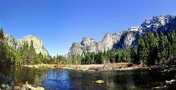
Merced River
Yosemite Valley, Yosemite National Park
32.7 miles WThe Merced River circles Yosemite Valley with whitewater, swimming holes, gold-panning spots, and unbeatable views of Yosemite Falls and Glacier Point at every bend.
Camp, Swim, Whitewater 5.7 mi
Ten Lakes
Tuolumne Meadows, Yosemite National Park
34.6 miles NWA 6.4-mile hike from Yosemite Creek to three of the Ten Lakes Basin's seven lakes, through wildflower meadows, forests, and past the Grand Canyon of the Tuolumne, gaining 2,200 feet.
Backpack, Camp, Hike
Bass Lake Recreation Area
Oakhurst, California
35.7 miles SWWarm Sierra reservoir at 3,400 feet with Forest Service beaches and campgrounds, a waterfall trail at the north end, and Yosemite's south gate twenty miles up the road.
Camp, Canoe, Hike, Kayak, Swim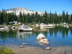
Crane Flat
Big Oak Flat, Yosemite National Park
44.2 miles WFramed between two giant sequoia groves, Crane Flat meadow is a quiet Yosemite base camp for birding, stargazing, and seasonal hikes to Lukens and Harden Lake.
Backpack, Camp, Hike, Snowshoe


