


Duvall Beach at McCormick Park
Duvall
Canoe, Hike, Kayak, and Swim
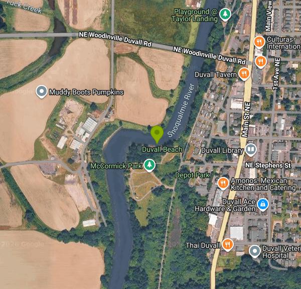
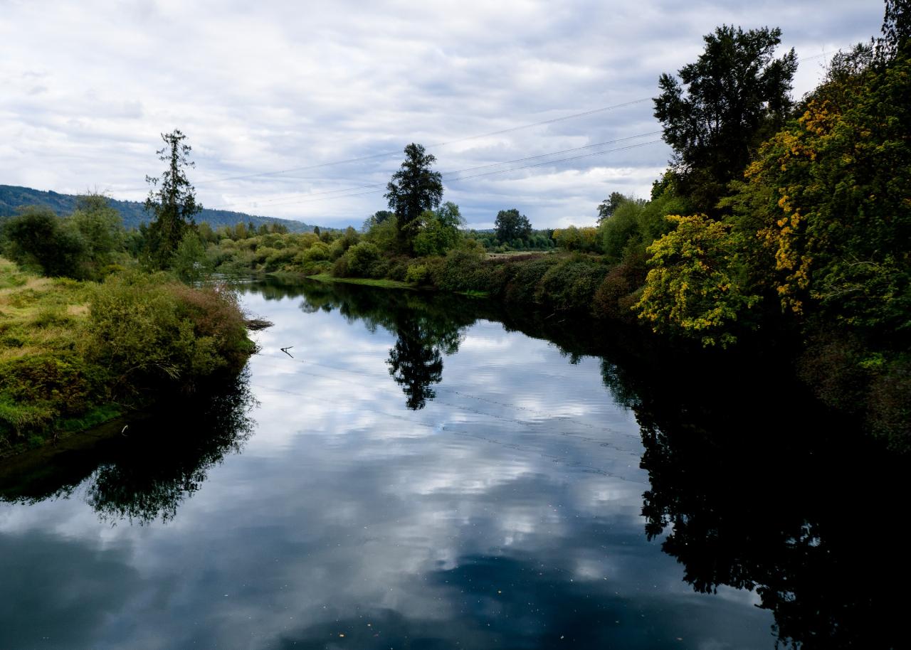
Duvall Beach is the strip of sand at the north end of McCormick Park, the City of Duvall's riverfront park on the east bank of the Snoqualmie River, downhill and a couple of blocks west of Main Street. The name is local, not official. Duvall's published parks map lists the site only as McCormick Park, and the city's own water safety handout calls it the beach at McCormick Park. OpenStreetMap carries the Duvall Beach label, and that is what people in town say, so both names point at the same sand.
The park address is 26200 NE Burhen Way and posted hours are dawn to dusk. Nothing here costs money. There is no admission charge, no parking fee, and no reservation needed for ordinary use. The lot is shared with the Duvall Police Department next door, which is one reason overnight camping never took hold. Gatherings of 30 people or fewer can simply turn up. Anything from 31 people up needs a Special Event Permit from the city.
For a small town park it is well equipped. Grass fields run back from the water, with picnic tables and benches spread along the shoreline, a grill, covered picnic shelters, a natural grass play area, and paths built to ADA access. A footbridge crosses the Coe-Clemons Creek wetland behind the developed area. The city lists portable restrooms, and there is also a wheelchair accessible toilet building and an unsupervised cold-water rinse shower a couple of minutes from the sand. Dogs are welcome on leash. A life jacket loaner station stands near the beach access.
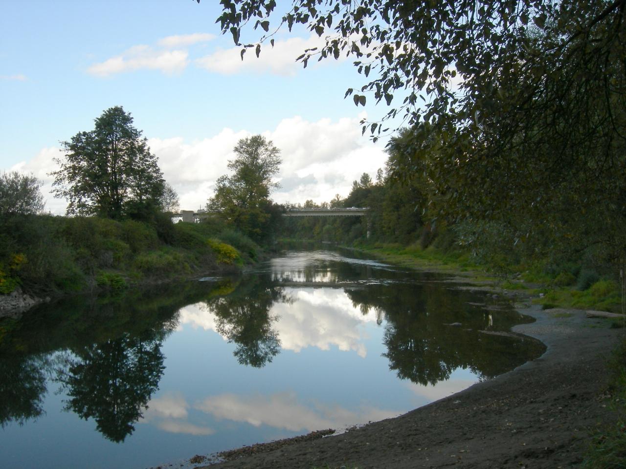
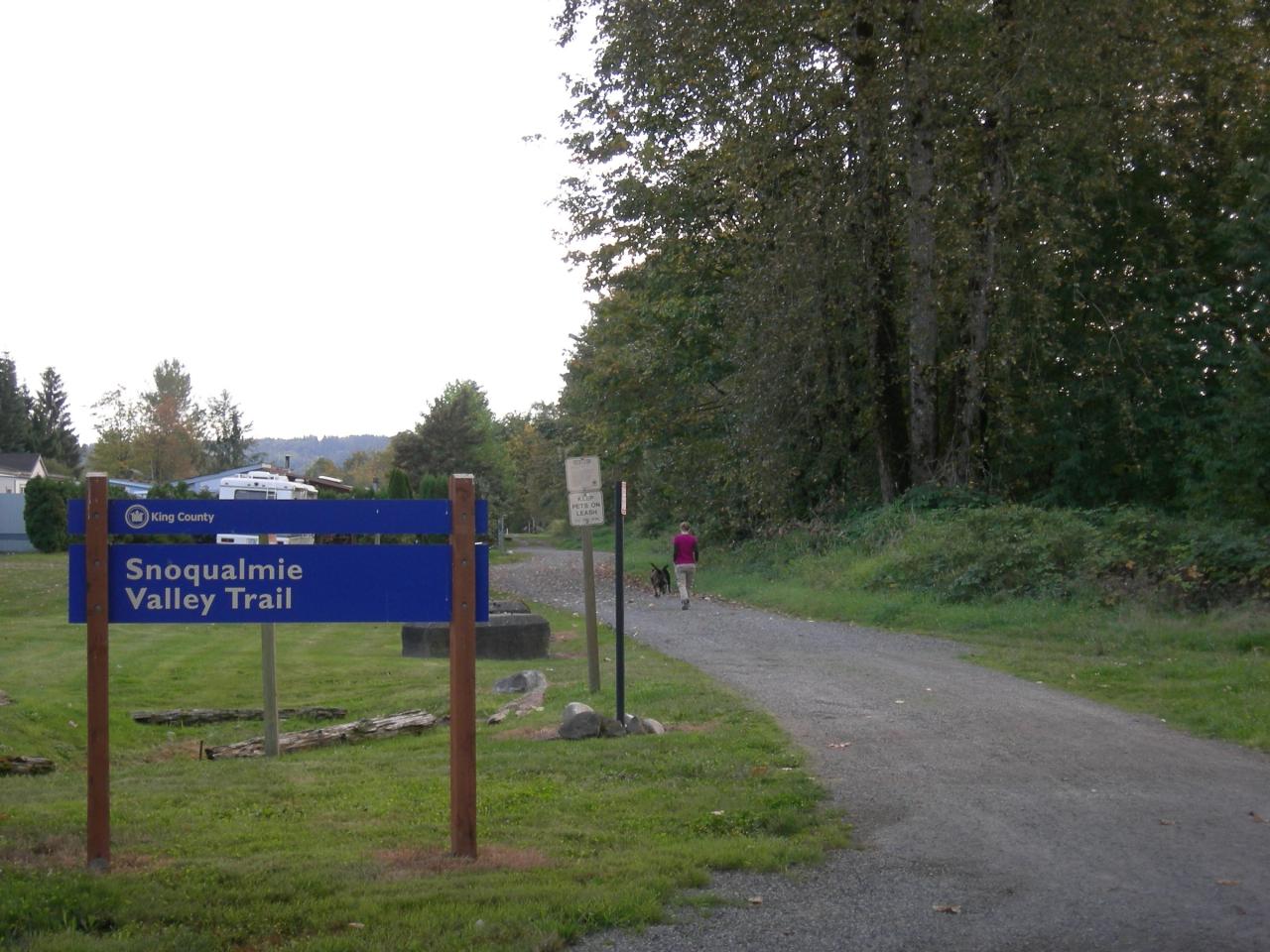
The Snoqualmie Valley Trail runs along the back of the park and its Duvall trailhead is right here, so the beach is reachable on foot or by bike from town without touching a road. Paddlers work this reach as well. Taylor Landing and its boat launch sit about a quarter mile upstream, and when the river is low you can walk the shoreline between the two. A sandbar builds along this bank as the river drops through the summer, which is what turns the spot into a place families bring small children rather than a bank you scramble down.
Swimming season runs roughly late June into September. The Snoqualmie drains 645 square miles above the Duvall gauge, so it answers rain and mountain snowmelt quickly, and water that looks inviting in May is still cold and pushy. Late July through early September is when levels drop, the sandbar widens, and the river warms enough to stay in. Winter is another river altogether. Duvall floods, sometimes severely, and the river gauge at Duvall is worth checking before any shoulder season trip.
The hazard is real and the city states it plainly: there are no lifeguards at the beach at McCormick Park. Duvall has installed two life ring stations in the park for civilian use, to be thrown to a swimmer in trouble, and the city asks that both rings go in at once and that someone call 911. The Snoqualmie carries a drowning record. King County counts the Snoqualmie and the Green together for 17 percent of the 74 preventable open water drowning deaths in its review, and logged 25 preventable drowning deaths across the county in 2025. The December 2025 flooding pushed logs, rocks and other debris into the channel and shifted the riverbed, leaving pools deeper or shallower than they were and obstacles that give no sign above the surface. Wade the entry and feel the bottom before anyone jumps in. Keep a hand on small children, put a life jacket on anyone planning to float, and treat calm looking water over a moving river bed as exactly that.
More Information
Facilities • McCormick Park
View information about facilities in the community.
https://www.duvallwa.gov/Facilities/Facility/Details/McCormick-Park-3Flood Warning System - Snoqualmie River at Duvall - King County, Washington
Flood Warning System - Snoqualmie River at Duvall - King County, Washington
https://flood.kingcounty.gov/gauge/32/King County officials urge extra caution on rivers after December flooding created new potential dro
Executive site King County officials urge extra caution on rivers after December flooding created new potential drowning hazards May 21, 2026 —
https://executive.kingcounty.gov/2026/05/21/king-county-officials-urge-extra-caution-on-rivers-after-december-flooding-created-new-potential-drowning-hazards/McCormick Park - Mountains To Sound Greenway Trust
McCormick Park sits adjacent to the Snoqualmie River and includes grass fields, ADA accessible trails, and a sandbar along the river.
https://mtsgreenway.org/location/mccormick-park/Park & Trail Maps | Duvall, WA - Official Website
View area park and trail maps.
https://www.duvallwa.gov/195/Park-Trail-MapsSnoqualmie River at Duvall, WA - USGS Water Data for the Nation
Discover water data collected at monitoring location USGS-12150400, located in King County, Washington and find additional nearby monitoring locations.
https://waterdata.usgs.gov/monitoring-location/USGS-12150400/Swim safety - King County, Washington
Swimming in pools or in lakes, rivers, and ponds is a fun physical activity. But, if proper safety measures are not in place, swimming can also be dangerous. Drowning is preventable by taking the necessary precautions and following these safety tips. Short URL: kingcounty.gov/health/swim-safe
https://cdn.kingcounty.gov/en/dept/dph/health-safety/safety-injury-prevention/water-safety/swim-safetyWay: Duvall Beach (37263839) | OpenStreetMap
OpenStreetMap is a map of the world, created by people like you and free to use under an open license.
https://www.openstreetmap.org/way/37263839Be courteous, informed, and prepared. Read trailhead guidelines, stay on the trail, and don't feed the wildlife.
Read More
- Plan Ahead and Prepare
- Travel & camp on durable surfaces
- Dispose of waste properly
- Leave what you find
- Minimize campfire impacts
- Respect wildlife
- Be considerate of other visitors
Directions
From Duvall
- Head west on SW Stewart St toward Main St NE (39 ft)
- Turn left onto Main St NE (0.2 mi)
- Turn right onto NE Stephens St (361 ft)
- Turn left (20 ft)
- Turn right (266 ft)




Other Swimming Holes, Hiking Trails, Canoeing Areas, and Kayaking Areas Nearby
Idylwood Park
Redmond
8.6 miles SWIdylwood Park is the only free public access to Lake Sammamish, a City of Redmond beach with a shallow sand entry and an aluminum swim dock. There are no lifeguards, and the small lot fills early on hot weekends.
Canoe, Kayak, Swim
Waverly Beach Park
Kirkland
11.2 miles WWaverly Beach Park is a 2.8 acre City of Kirkland park on Lake Washington where a low U-shaped dock wraps around the swim area and keeps boat traffic out. Lifeguards work noon to 6 pm from July 1 through September 7, diving is banned everywhere on the sit
Canoe, Kayak, Swim
Lake Sammamish State Park Beaches
Issaquah, Washington
13.0 miles SSunset Beach and Tibbetts Beach at the south end of Lake Sammamish, a 512-acre state park off I-90 in Issaquah with paddle rentals, playgrounds, trails and a boat launch.
Hike, Kayak, Mountain Bike, Swim
Matthews Beach Park
Seattle
13.5 miles WSeattle's largest freshwater bathing beach sits on Lake Washington at the foot of NE 93rd Street, with a roped swim area, a floating platform with diving boards, and lifeguards through the summer. King County tests the water weekly and closes this beach m
Canoe, Hike, Kayak, Swim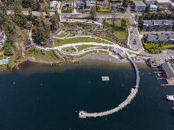
Meydenbauer Bay Park
Bellevue
13.7 miles SWMeydenbauer Bay Park is the City of Bellevue's downtown waterfront beach, a wide sand and gravel swim area on a quiet inlet of Lake Washington with a curving 420-foot floating pier, a beach house with showers, and a hand-carry boat launch. Lifeguards work
Canoe, Hike, Kayak, Swim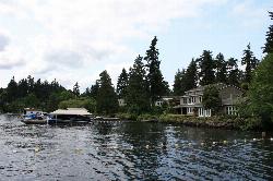
Clyde Beach Park
Bellevue
13.8 miles SWClyde Beach Park is a small City of Bellevue swimming beach on Meydenbauer Bay, with a roped swim area, a historic boathouse, restrooms and a playground. Lifeguards cover a short summer window here, and King County does not sample this particular beach fo
Canoe, Kayak, Swim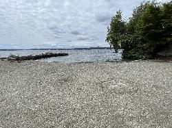
Medina Beach
Medina
14.5 miles SWA free city-run swimming beach at the foot of Evergreen Point Road, with 50 feet of sand, a jetty-sheltered swim area, an offshore float and a dock out over Lake Washington. Medina Police staffs it with lifeguards from late June through the end of August.
Canoe, Kayak, Swim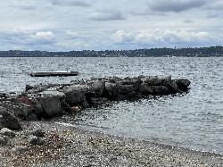
Medina Beach Park
Medina
14.5 miles SWMedina Beach Park is a 1.44 acre City of Medina park on Lake Washington where a stone breakwater shelters about 50 feet of sand beach, an offshore swim float and a public dock. The city staffs lifeguards in midsummer, and Medina City Hall shares the same
Canoe, Kayak, Swim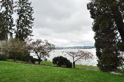
Madison Park Beach
Seattle
15.2 miles SWA free, city-run swimming beach at the foot of the old Madison Street cable car line, with a 1919 bathhouse, concrete swimming steps and a summer diving platform on Lake Washington. The 2026 guarded season ended September 7.
Swim
Seattle Area Beaches
Leavenworth, Washington
15.2 miles SWSwim near Leavenworth, Washington
Swim
Madrona Park
Seattle
16.4 miles SWMadrona Park is a free Seattle Parks and Recreation beach on the western shore of Lake Washington, with a lifeguarded swim area, two fixed platforms and a one meter diving board in summer. A wooded ravine full of trails climbs the hill above it, and the w
Canoe, Hike, Kayak, Swim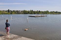
West Green Lake Beach
Seattle
16.7 miles WWest Green Lake Beach is the longer running of the two lifeguarded beaches Seattle Parks operates on Green Lake, with two fixed platforms, a 50 yard lap lane and 1 meter and 3 meter diving boards behind the old 1927 bathhouse. Lifeguards cover it from lat
Canoe, Hike, Kayak, Swim
Skykomish Area
Leavenworth, Washington
16.7 miles NESwim near Leavenworth, Washington
Swim
Colman Park Beach
Seattle
17.4 miles SWAn unguarded stretch of public Lake Washington shoreline in a 24 acre Olmsted park, where cement steps from a swimming beach that closed in 1965 still run down into the water. Seattle's lifeguarded beach at Mount Baker sits a quarter mile south.
Hike, Swim
Seward Park
Seattle
18.1 miles SWA free lifeguarded sand beach on Andrews Bay, the shallow sheltered water on the west side of Seattle's Bailey Peninsula, backed by the largest stand of old-growth forest left in the city. King County closes it for bacteria often enough that checking the
Canoe, Hike, Kayak, Swim
Snoqualmie River Area
Leavenworth, Washington
19.8 miles SEScenic Snoqualmie River swimming areas are best visited in late summer when currents slow — strong currents have caused drownings at other times of year.
Swim 1.5 mi
Twin Falls Trail
North Bend, Washington
24.6 miles SEA peaceful 3-mile river hike near North Bend that arrives at a beautiful waterfall viewpoint bridge at the halfway point, open rain or shine with easy access for all ages.
Hike 5.4 mi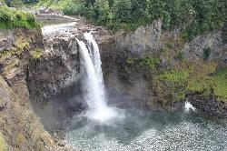
Middle Fork Snoqualmie Trail
North Bend, Washington
25.0 miles SECLOSED. Closed due to landslide activity.
Hike, Mountain Bike
Lake Wilderness Park Swim Beach
Maple Valley, Washington
25.3 miles SFree city park beach on Lake Wilderness in Maple Valley with summer lifeguards, canoe and paddleboard rentals, a concession stand, a big playground and a 40-acre arboretum.
Canoe, Hike, Kayak, Swim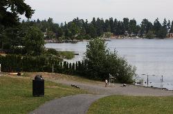
Angle Lake Beach
SeaTac
25.8 miles SWAngle Lake Beach is the guarded sand swimming beach at Angle Lake Park, a ten-acre City of SeaTac park on the west shore of a 102-acre glacial lake less than a mile from the Sea-Tac runways. King County samples the water weekly through the summer, and the
Canoe, Hike, Kayak, SwimNearby Campsites
Blake Island
Port Orchard, Washington
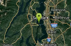
27.3 miles SWBlake Island State Park near Port Orchard is a 476-acre island paradise for kayaking, bird watching, year-round camping, and Tillicum Village cultural tours.
Camp, Hike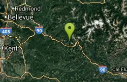
island lake
North Bend, Washington
30.7 miles SEA quieter alternative to the crowded Snoqualmie Pass hikes — shed the weekend throngs who turn back at Talapus or Olallie Lake and discover Island Lake in western Washington.
Camp, Hike, Swim
Jade Lake
Skykomish, Washington
37.0 miles EA 26-mile overnight backpacking route through the Snoqualmie region past wildflower meadows, Marmot Lake, and a steep talus scramble to a remote alpine lake for swimming.
Backpack, Camp, Swim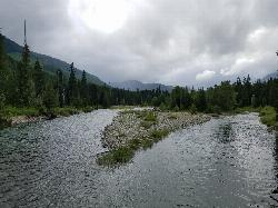
Salmon La Sac Swimming Hole
Cle Elum
47.8 miles SEWhere the Cooper River meets the Cle Elum River 19 miles north of Cle Elum, Salmon La Sac holds a run of deep green snowmelt pools below the Forest Service campground. Swimming is free, though parking at the trailhead lot costs $5 a day.
Camp, Hike, Kayak, Swim


