


island lake
North Bend, Washington
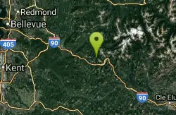
| GPS: |
47°26'12.7"N 121°30'40.6"W Maps | Directions |
| State: | Washington |
Camp, Hike, and Swim
Island Lake is a serene alpine lake tucked into the Alpine Lakes Wilderness near Snoqualmie Pass, a rewarding (and refreshingly quieter) destination in the popular hiking country east of North Bend, Washington. While crowds flock to nearby trails, those willing to go a little farther are rewarded with a beautiful, peaceful mountain lake perfect for a summer swim or a backcountry overnight.
Reaching Island Lake is a real hike: roughly 10 miles round trip with about 3,000 feet of elevation gain, making it a strenuous full-day outing. The route starts on the well-traveled Pratt Lake Trail and climbs through forest, passing pretty Talapus and Olallie lakes along the way before a final stretch (via the Mount Defiance Trail) leads to Island Lake itself. The early miles are busy, but most day-hikers peel off for closer lakes, so the crowds thin as you go.
The payoff is a string of gorgeous alpine lakes — Talapus, Olallie, Island, and more — each a perfect spot to cool off with a (bracingly cold) swim on a hot summer day, surrounded by forest and granite. Backpackers can camp at the lakes for a quiet night under the stars.
Come prepared for the mountains: bring plenty of water, layers, and the Ten Essentials, wear sturdy boots, and note that a Northwest Forest Pass is required to park at the trailhead. The season runs roughly July through October, once the high trail is snow-free. Start early for parking and to beat afternoon weather, pack out everything, and Island Lake rewards your effort with a quiet slice of Cascade wilderness.
More Information
Island Lake - Rainbow Lake — Washington Trails Association
The trailhead might be busy, but heading to Island and Rainbow Lakes may afford you more solitude than you
https://www.wta.org/go-hiking/hikes/rainbow-lake-1Be courteous, informed, and prepared. Read trailhead guidelines, stay on the trail, and don't feed the wildlife.
Read More
- Plan Ahead and Prepare
- Travel & camp on durable surfaces
- Dispose of waste properly
- Leave what you find
- Minimize campfire impacts
- Respect wildlife
- Be considerate of other visitors
Directions
From North Bend, Washington
- Head southwest on N Bend Blvd N/Bendigo Blvd N toward W North Bend Way (0.7 mi)
- At the traffic circle, take the 2nd exit onto the I-90 E ramp to Spokane (0.3 mi)
- Merge onto I-90 E (14.7 mi)
- Take exit 45 toward Usfs Rd 9030 (0.3 mi)
- Turn left onto National Forest System Rd 9030 (0.9 mi)
- Turn right to stay on National Forest System Rd 9030 (2.0 mi)
From Seattle drive I-90 east to exit 45 (Forest Road 9030). Turn left under the freeway on FR 9030. In 1 mile bear right at the junction. Continue straight to the trailhead at the road's end.
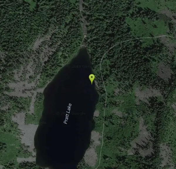
Other Swimming Holes and Hiking Trails Nearby
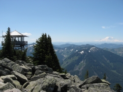
Granite Mountain
North Bend, Washington
2.9 miles SA steep, rewarding hike up Granite Mountain gaining about 1,000 feet per mile, with panoramic summit views of Mount Rainier, Mount Stewart, and the Teanaway — best tackled after the snow melts.
Backpack, Hike 7.0 mi
Goldmyer Hot Springs Trail
North Bend, Washington
6.6 miles NEA strenuous 4.5-mile-each-way hike through lush forest to the remote Goldmyer Hot Springs — camping and soaking available by reservation and fee at the springs.
Hike, Hot Springs 5.4 mi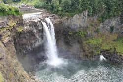
Middle Fork Snoqualmie Trail
North Bend, Washington
7.8 miles NCLOSED. Closed due to landslide activity.
Hike, Mountain Bike 1.5 mi
Twin Falls Trail
North Bend, Washington
8.7 miles WA peaceful 3-mile river hike near North Bend that arrives at a beautiful waterfall viewpoint bridge at the halfway point, open rain or shine with easy access for all ages.
Hike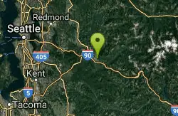
Snoqualmie River Area
Leavenworth, Washington
12.4 miles WScenic Snoqualmie River swimming areas are best visited in late summer when currents slow — strong currents have caused drownings at other times of year.
Swim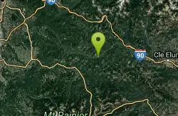
Green River Area
Ronald, Washington
15.7 miles SSeveral informal swimming spots in the Upper Green River east of Seattle and North Bend — a casual and scenic escape with clothing sometimes optional.
Swim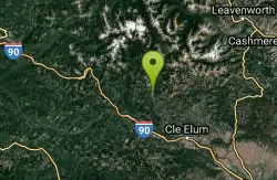
French Cabin Creek
Ronald, Washington
19.5 miles ETwo cold, clear swimming spots in a National Forest creek on either side of a bridge near Ronald, Washington — clothing may be optional.
Swim
Jade Lake
Skykomish, Washington
24.2 miles NEA 26-mile overnight backpacking route through the Snoqualmie region past wildflower meadows, Marmot Lake, and a steep talus scramble to a remote alpine lake for swimming.
Backpack, Camp, Swim
Lake Wilderness Park Swim Beach
Maple Valley, Washington
25.1 miles WFree city park beach on Lake Wilderness in Maple Valley with summer lifeguards, canoe and paddleboard rentals, a concession stand, a big playground and a 40-acre arboretum.
Canoe, Hike, Kayak, Swim
Lake Sammamish State Park Beaches
Issaquah, Washington
26.9 miles WSunset Beach and Tibbetts Beach at the south end of Lake Sammamish, a 512-acre state park off I-90 in Issaquah with paddle rentals, playgrounds, trails and a boat launch.
Hike, Kayak, Mountain Bike, Swim
Skykomish Area
Leavenworth, Washington
28.5 miles NSwim near Leavenworth, Washington
Swim
Rock Island
Leavenworth, Washington
30.1 miles NESwim near Leavenworth, Washington
Swim
Teanaway River
Cle Elum, Washington
32.2 miles ESwim near Cle Elum, Washington
Swim
Seattle Area Beaches
Leavenworth, Washington
32.8 miles WSwim near Leavenworth, Washington
Swim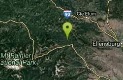
Rainier East Area
Naches, Washington
33.0 miles SESwim near Naches, Washington
Swim
Skyscraper Mountain Trail
Ashford, Washington
36.3 miles SA gorgeous day hike to 7,078-foot Skyscraper Mountain in Mount Rainier NP, with unobstructed Cascade Range views, Moraine Peak vistas, and Mystic Lake sightings from the summit.
Hike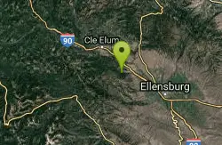
Taneum Creek
Thorp, Washington
40.6 miles SEA popular swimming hole with a deep front pool and a wide, shallow play area directly above and across the creek — a great combo for mixed groups of swimmers.
Swim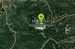
Mount Rainer
Ashford, Washington
40.9 miles SThe most glaciated peak in the contiguous U.S. at 14,410 feet — an active volcano with six major rivers, subalpine wildflower meadows, ancient forest, and abundant wildlife.
Camp, Hike, Mountain Bike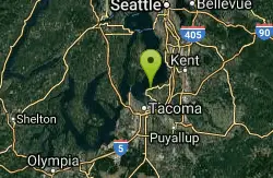
Dash Point Beach
Federal Way, Washington
42.7 miles WDash Point State Park beach catches afternoon sun and relatively warm Puget Sound water, with restrooms, an outdoor shower, and camping just steps away.
Swim
Blake Island
Port Orchard, Washington
46.3 miles WBlake Island State Park near Port Orchard is a 476-acre island paradise for kayaking, bird watching, year-round camping, and Tillicum Village cultural tours.
Camp, HikeNearby Campsites
Jade Lake
Skykomish, Washington
24.2 miles NEA 26-mile overnight backpacking route through the Snoqualmie region past wildflower meadows, Marmot Lake, and a steep talus scramble to a remote alpine lake for swimming.
Backpack, Camp, Swim
Mount Rainer
Ashford, Washington
40.9 miles SThe most glaciated peak in the contiguous U.S. at 14,410 feet — an active volcano with six major rivers, subalpine wildflower meadows, ancient forest, and abundant wildlife.
Camp, Hike, Mountain Bike
Blake Island
Port Orchard, Washington
46.3 miles WBlake Island State Park near Port Orchard is a 476-acre island paradise for kayaking, bird watching, year-round camping, and Tillicum Village cultural tours.
Camp, Hike


