


Hickory Nut Falls
Chimney Rock, North Carolina
| Address: | Chimney Rock Park Rd, Chimney Rock, NC 28720, USA |
| GPS: |
35°26'23.1"N 82°14'54.9"W Maps | Directions |
| State: | North Carolina |
| Trails/Routes: | 0.8 mi |
Waterfalls
Hike and Swim
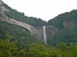
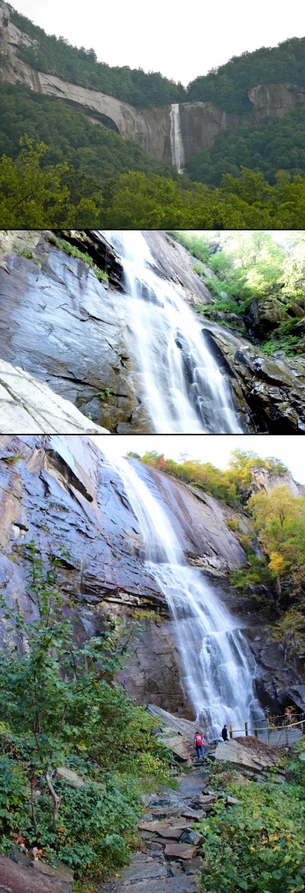
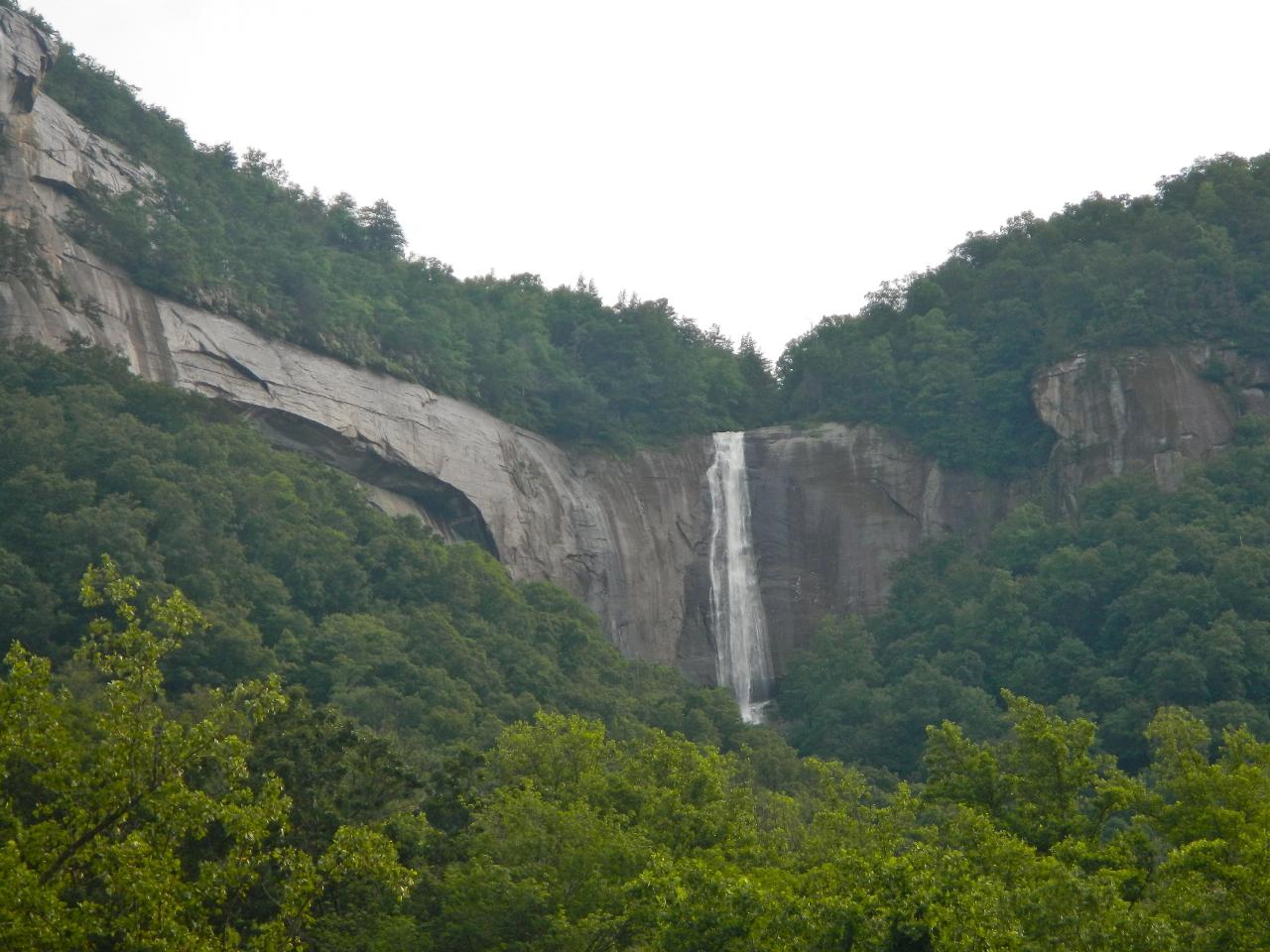
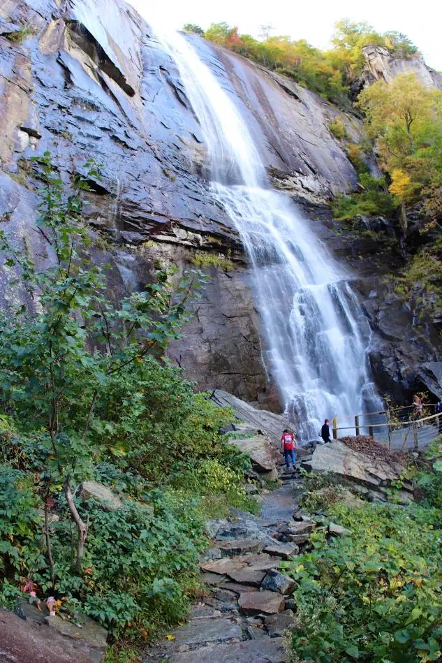
Hickory Nut Falls is a breathtaking 404-foot waterfall — one of the tallest in the eastern United States — cascading down the cliffs of Chimney Rock State Park in the Hickory Nut Gorge of western North Carolina. Made famous as a backdrop in the 1992 film The Last of the Mohicans (the climactic fight was filmed at the brink of the falls), it's a showstopping natural landmark and the centerpiece of one of the state's most scenic parks.
The classic way to experience it is the Hickory Nut Falls Trail, a moderate walk of roughly 1.5 miles round trip that leads through the forest to the base of the towering cascade, where you can crane your neck up at the water plunging off the cliff. The park is also home to the iconic Chimney Rock monolith and its sweeping views over Lake Lure and the gorge.
A few important planning notes. The trail and falls are inside the privately operated portion of Chimney Rock State Park, which charges an admission fee and uses timed-entry reservations, so buy tickets in advance through the park. (You can also glimpse the falls for free from U.S. Highway 64 below.) Just as important: the Hickory Nut Gorge area was hit hard by Hurricane Helene in 2024, so access, roads, hours, and reservations have been in flux during recovery — always check the park's official current status and conditions before you go.
When open, spring and fall are especially beautiful, with strong water flow and mild weather. Wear sturdy shoes for the trail, bring water, stay behind railings and away from cliff edges, and pack out what you bring. A genuine natural wonder, Hickory Nut Falls is well worth the trip when the park is open and conditions allow.
More Information
Hickory Nut Falls trail at Chimney Rock at Chimney Rock State Park
The popular Hickory Nut Falls trail takes you to the bottom of one of the tallest waterfalls east of the Mississippi River. Reward yourself with a magnificent view from the Read More
https://www.chimneyrockpark.com/view_trail/hickory-nut-falls-trail/Be courteous, informed, and prepared. Read trailhead guidelines, stay on the trail, and don't feed the wildlife.
Read More
- Plan Ahead and Prepare
- Travel & camp on durable surfaces
- Dispose of waste properly
- Leave what you find
- Minimize campfire impacts
- Respect wildlife
- Be considerate of other visitors
Directions
From Chimney Rock, North Carolina
- Head northwest on Terrace Dr toward Silver City Rd (0.2 mi)
- Turn left onto Main St (121 ft)
- Turn right onto Chimney Rock Park Rd (52 ft)
From Asheville take I-240 east to Exit 9 (Blue Ridge Parkway and RT 74A east). Stay on RT 74A East for 20 miles and the park entrance will be on the right.Courtesy of swimmingholes.org


Other Swimming Holes and Hiking Trails Nearby

Bent Creek
Asheville, North Carolina
21.1 miles WAsheville's go-to trail system offers everything from flat beginner loops near Lake Powhatan to the legendary Green's Lick descent with massive berms, wallrides, and jump lines.
Hike, Mountain Bike 
Little Hickory Top
Asheville, North Carolina
21.7 miles WLittle Hickory Top is a flowy, moderate singletrack in Asheville's Bent Creek network, a favorite leg for building Pisgah mountain-bike loops.
Hike, Horseback, Mountain Bike 
Hardtimes Connector / 661
Asheville, North Carolina
21.7 miles WA flat singletrack connector at the base of the mountain near Asheville, linking the Hardtimes Trailhead to the main trail system and the big climbs up above.
Hike, Horseback, Mountain Bike 
North Mills River
Mills River, North Carolina
22.6 miles WA campground in the Cherokee National Forest with creek swimming, fishing for rainbow and brook trout, and kid-favorite tubing — plus 31 picnic tables and educational summer programs nearby.
Swim 2.2-2.3 mi
Richmond Hill
Asheville, North Carolina
22.8 miles NWAn 18-hole wooded disc golf course at Richmond Hill Park in Asheville spanning 6,093 feet — hilly, challenging, and set in a 183-acre park with mountain biking, hiking, and birding.
Disc Golf, Hike, Mountain Bike 
Carolina Hemlock
Burnsville, North Carolina
25.3 miles NA family swimming area on the South Toe River near Mount Mitchell in the Pisgah National Forest campgrounds — note that the site is closed seasonally and fees apply.
Camp, Swim 
Dupont State Park
Wallace, North Carolina
26.6 miles SWSwim near Wallace, North Carolina
Swim 
Bennett Gap / 138
Pisgah Forest, North Carolina
28.2 miles SWA 3-mile gnarly Pisgah trail with incredible Looking Glass Mountain views, a meadow section thick with thorns, and Satan's Staircase hike-a-bike — legally open to bikes in fall and winter only.
Hike, Mountain Bike 
South Mills River Trail
Canton, North Carolina
28.2 miles WAn easy out-and-back following the South Fork Mills River with several swinging bridge crossings leading to the historic Cantrell Lodge site — with a steep, technical river-access option.
Hike, Mountain Bike 
North Slope
Pisgah Forest, North Carolina
28.8 miles WA seasonal mountain bike trail near Pisgah Forest open only October 15 to April 15, with impossible climbs, river sections, great mountain views, and tricky roots and bridges on the descent.
Hike, Mountain Bike 
Davidson River Campground
Pisgah Forest, North Carolina
28.9 miles WA year-round campground in Pisgah National Forest just four miles from Brevard and less than an hour from Asheville, with shaded loops, hiking trails, waterfalls, and fishing spots nearby.
Camp, Hike, Swim 3.4 mi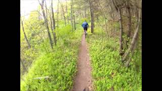
Alexander Mountain Bike Park
Alexander, North Carolina
28.9 miles NWChallenging singletrack near Alexander with nice climbs, flowing sections, and a French Broad River view — trail can get overgrown from light use.
Hike, Horseback, Mountain Bike 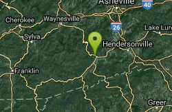
Thrift Cove
Brevard, North Carolina
29.0 miles WAbout 750 feet of elevation, red-blazed trail through Thrift Cove, and five back-to-back jump whoops that are among the best you'll find anywhere — worth lapping repeatedly.
Hike, Mountain Bike 
Avery Creek / 327
Brevard, North Carolina
29.1 miles WClassic Pisgah-style singletrack: 3.2 miles of rutted, technical descent from a four-way junction with stream crossings, muck, and hidden flowy sections under a massive tree canopy.
Hike, Mountain Bike 
Pilot Cove Loop Trail
Pisgah Forest, North Carolina
30.5 miles WA short 1.8-mile singletrack loop in Pisgah Forest with steep, tight turns and one of the best ridge views in Pisgah National Forest.
Hike, Mountain Bike 
Coontree Recreation Area
Brevard, North Carolina
30.9 miles WA scenic picnic area on the Davidson River with direct access to calm, deep water for swimming and fishing — plus the 3.7-mile Coontree Loop Trail through Pisgah National Forest.
Hike, Mountain Bike, Swim 0.1 mi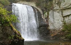
Looking Glass Falls
Brevard, North Carolina
31.0 miles WOne of North Carolina's most popular and accessible waterfalls — the 60-foot Looking Glass Falls drops roadside along the Forest Heritage Scenic Byway in Pisgah National Forest, with easy viewing from the parking area or a short walk.
Swim 
Looking Glass Falls
Brevard, North Carolina
31.0 miles WA cascading 60-foot waterfall over mossy stone with a wading pool below — just a short, beautiful walk from Pisgah Highway in Brevard, stunning in any season.
Hike, Swim 
Butter Gap / Trail #123
Brevard, North Carolina
32.4 miles WButter Gap Trail in Pisgah Forest climbs about 1,000 feet and connects to FS 471D — the western fork is open to mountain bikes, with seasonal bike access on part of the route.
Hike, Mountain Bike 
Big East Fork
Canton, North Carolina
32.5 miles WHeavy forest, multiple waterfalls, and a river that shifts from white rapids to calm swimming holes along Big East Fork in Pisgah National Forest — great for kayaking, camping, and swimming year-round.
Backpack, Hike, Kayak, SwimNearby Campsites
Carolina Hemlock
Burnsville, North Carolina
25.3 miles NA family swimming area on the South Toe River near Mount Mitchell in the Pisgah National Forest campgrounds — note that the site is closed seasonally and fees apply.
Camp, Swim
Davidson River Campground
Pisgah Forest, North Carolina
28.9 miles WA year-round campground in Pisgah National Forest just four miles from Brevard and less than an hour from Asheville, with shaded loops, hiking trails, waterfalls, and fishing spots nearby.
Camp, Hike, Swim 
Rocky Bluff
Hot Springs, North Carolina
44.5 miles NWRocky Bluff is a tranquil mountain getaway in the Pisgah National Forest near Hot Springs, North Carolina, where a wooded campground sits beside the lovely Spring Creek just a few miles south of...
Camp, Hike, Swim


