


14 Hiking Trails near Wolf Creek Falls
first prev 1 next lastShowing Hiking Trails within 50 miles Distance miles of Wolf Creek Falls near Prescott, Arizona City, Zip, or Address
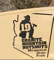
Granite Mountain Hotshots Memorial
Yarnell, Arizona
24.8 miles SWA solemn 3/4-mile journey trail following the last steps of the 19 Granite Mountain Hotshots to their fatality site, with 19 gabions united by chains and a tribute wall for leaving mementos.
Hike 0.4 mi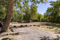
Clear Creek Campground
Camp Verde, Arizona
40.1 miles EA grassy creekside campground shaded by tall cottonwoods on West Clear Creek — ideal for hiking, swimming, fishing for smallmouth bass and sunfish, and wildlife watching in a desert canyon oasis.
Camp, Hike, Swim 8.4 mi
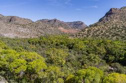
West Clear Creek Trail No. 17
Camp Verde, Arizona
43.7 miles EWest Clear Creek Trail winds down a shaded canyon to cool creek swimming, fishing, and dispersed camping — bring wading shoes, because wet feet are guaranteed.
Backpack, Hike, Swim 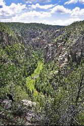
Bullpen Day Use Area
Camp Verde, Arizona
43.7 miles EA big red jumping rock on West Clear Creek, shaded picnic areas, and trails down a stunning canyon below the Mogollon Rim — a full afternoon of swimming and hiking.
Backpack, Dive, Hike, Swim 3.0 mi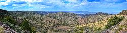
Blodgett Basin Trail No. 31
Camp Verde, Arizona
43.8 miles EA 3-mile riparian canyon trail through West Clear Creek Wilderness with 1,700 feet of elevation change, fishing, camping, and wading in a desert oasis — expect to get your feet wet.
Backpack, Hike, Swim 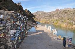
Verde Hot Springs
Camp Verde, Arizona
44.6 miles ENatural hot spring pools beside the Verde River — the remnants of an old resort — reached by wading upstream from a dispersed camping area with no amenities near Sedona.
Camp, Hike, Hot Springs 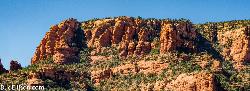
Red Rock State Park
Sedona, Arizona
45.3 miles NERed Rock's crimson sandstone layers tell 275 million years of geologic history — from ancient beachfronts to sand dunes to shallow seas — and inspired an art migration that fills the area with museums and galleries today.
Hike, Swim 7.1 mi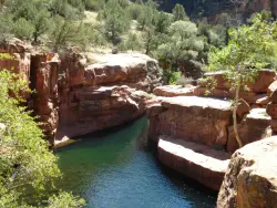
The Crack at Wet Beaver Creek
Rimrock, Arizona
45.4 miles ECrystal-clear water and cliffs high enough to jump from, about 3.5 miles down Bell Trail along Wet Beaver Creek — a rewarding desert hike to a stunning red-rock swimming hole.
Dive, Hike, Horseback, Swim 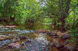
Chavez Crossing
Sedona, Arizona
47.4 miles NEA campground on Oak Creek in Sedona's red-rock canyon, perfectly placed for cool water play, sunsets over Munds Mountain, and access to nearby swimming holes.
Camp, Hike, Swim 3.9 mi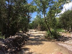
Cave Creek Swimming Hole
Cave Creek, Arizona
48.0 miles SEA refreshing desert swimming hole at the end of nearly four miles of Cave Creek Trail — worth the cactus-country hike for the cool pool waiting in the shade.
Hike, Swim 
Devil's Bridge
Sedona, Arizona
48.3 miles NEA 3.6-mile round-trip trail in Sedona to the breathtaking Devil's Bridge rock arch — rocky and sandy with a steep final mile, stunning red rock views, and very popular on weekends.
Hike 1.1 mi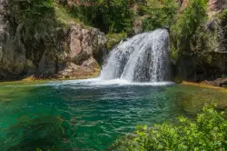
Fossil Creek Waterfall
Pine, Arizona
48.8 miles EOne of Arizona's two Wild and Scenic rivers, with a short hike from a dirt-road parking area to a deep pool at the base of the falls — watch for snakes on the trail.
Hike, Swim 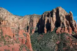
Brins Mesa Trail
Sedona, Arizona
49.1 miles NEAn open-mesa hike through red rock towers and formations in Coconino National Forest just outside Sedona — unobstructed desert views that intensify with summer heat, so bring plenty of water.
Hike 3.0 mi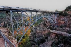
Huckaby Trail
Sedona, Arizona
49.6 miles NEA 3-mile Sedona trail through Arizona Sycamores and striking Red Rock formations — crossing Oak Creek at the bottom where you can take a dip, with a boulder passage and optional mountain bike cruise on the other side.
Canoe, Hike, Mountain Bike


