


Red Rock State Park
Sedona, Arizona
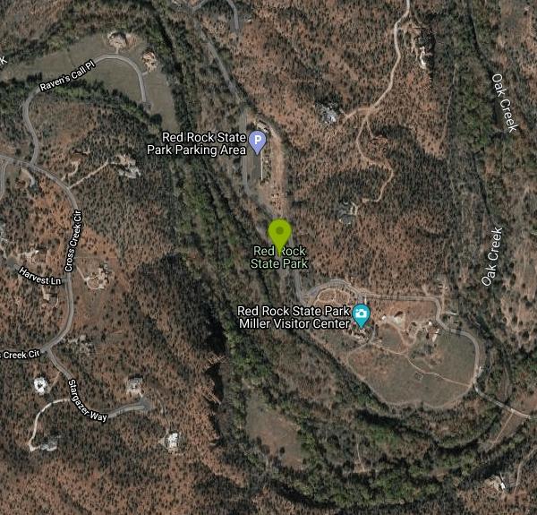
| Address: | Red Rock State Park, 4050 Red Rock Loop Rd, Sedona, AZ 86336, USA |
| GPS: |
34°49'30.8"N 111°48'29.7"W Maps | Directions |
| State: | Arizona |
Hike and Swim
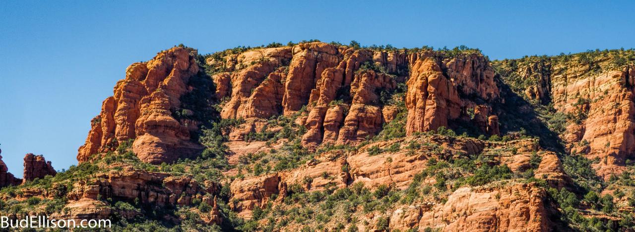
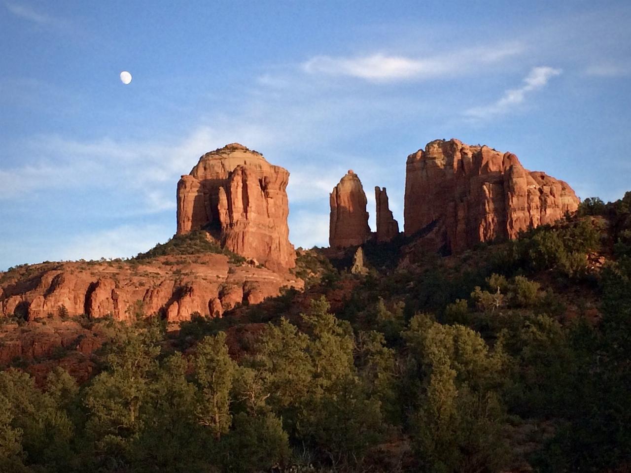
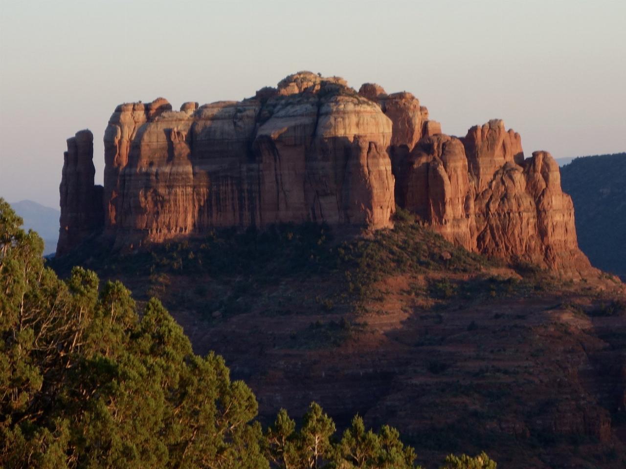
Red Rock in Sedona, Arizona details the beauty in the layers of sedimentary rock that has been constructed over millions of years. It is at Red Rock that you can see "Schnebly Hill Formation", which tells the story of an ancient beachfront in the area over 275 million years ago. This beachfront deposited iron, which is what gives Red Rock its notorious crimson color. The sandstone layers tell the story of the sand dunes that were believed to cover much of the western hemisphere of the US thousands of years ago. If you look closely, you will also see limestone layers, these layers are from the shallow seas that covered the area millions of years ago.
Red Rock is a mystery to the eye, and food for the mind. These structures are more than boulders, the structure is natures way of recording its very own history. Much of Red Rock has contributed to the study of archeology. We can see signs of early civilizations on these rocks. Native Americans used these rocks to communicate, create petroglyphs, and to share their sacred beliefs. Where natural art can be found, so can artist. Because of the beauty in this area, it led to an art migration in the early 1950's. Max Ernst was the first artist to settle in the area, and soon led others to draw on the beauty of Red Rock as inspiration for their artwork. This is why this area is filled with many museums and galleries.
There are many ways to take advantage of this wonderful location. You can hike, bike, or horseback ride through the parks many winding trails. Red Rock can be enjoyed year round, and there are five miles of trails all networked together through the park. In the visitors center, you can request a guided tour https://azstateparks.com/red-rock/explore/facility-information. These guided tours leave from the visitors center every morning. Knowledgeable volunteers tour guides explain the geology, wildlife, history, archeology and plant life. The hikes begin at 10 a.m. from September through May and 9 a.m. from June through August.
Red Rock has much to offer for the curious mind. Take advantage of this remarkable location, you might be surprised with the story it has to tell.
More Information
Red Rock State Park | Visit Arizona
The park features a visitor center and ramadas for day-use visitors who come to hike and picnic, plus an on-site museum. Plan your visit to Red Rock State Park today!
https://www.visitarizona.com/places/parks-monuments/red-rock-state-parkRed Rock State Park: Showing off what Sedona is famous for
5 miles of easy trails, leisurely walks along Oak Creek and ample opportunity to see wildlife await at Red Rock State Park.
https://www.azcentral.com/story/travel/arizona/2018/03/12/red-rock-state-park-sedona-az/335163002/tripadvisor.com
Please enable JS and disable any ad blocker
https://www.tripadvisor.com/Attraction_Review-g31352-d109098-Reviews-Red_Rock_State_Park-Sedona_Arizona.htmlBe courteous, informed, and prepared. Read trailhead guidelines, stay on the trail, and don't feed the wildlife.
Read More
- Plan Ahead and Prepare
- Travel & camp on durable surfaces
- Dispose of waste properly
- Leave what you find
- Minimize campfire impacts
- Respect wildlife
- Be considerate of other visitors
Directions
From Sedona, Arizona
- Head south on N State Rte 89A toward Forest Rd (0.3 mi)
- At the traffic circle, take the 3rd exit onto AZ-179 SGo through 1 traffic circle(0.9 mi)
- At the traffic circle, continue straight to stay on AZ-179 S (0.6 mi)
- At the traffic circle, continue straight to stay on AZ-179 S (1.4 mi)
- At the traffic circle, continue straight to stay on AZ-179 S (0.5 mi)
- At the traffic circle, continue straight to stay on AZ-179 S (3.0 mi)
- At the traffic circle, take the 1st exit onto Bell Rock Blvd (1.1 mi)
- Turn right onto Verde Valley School Rd (4.3 mi)


Other Swimming Holes and Hiking Trails Nearby
Chavez Crossing
Sedona, Arizona
2.2 miles NEA campground on Oak Creek in Sedona's red-rock canyon, perfectly placed for cool water play, sunsets over Munds Mountain, and access to nearby swimming holes.
Camp, Hike, Swim 3.0 mi
Huckaby Trail
Sedona, Arizona
4.4 miles NEA 3-mile Sedona trail through Arizona Sycamores and striking Red Rock formations — crossing Oak Creek at the bottom where you can take a dip, with a boulder passage and optional mountain bike cruise on the other side.
Canoe, Hike, Mountain Bike
Devil's Bridge
Sedona, Arizona
5.3 miles NA 3.6-mile round-trip trail in Sedona to the breathtaking Devil's Bridge rock arch — rocky and sandy with a steep final mile, stunning red rock views, and very popular on weekends.
Hike
Midgley Bridge Trail
Sedona, Arizona
5.6 miles NEHike near Sedona, Arizona
Hike
Wilson Mountain Trail
Sedona, Arizona
5.7 miles NEHike near Sedona, Arizona
Hike 3.4 mi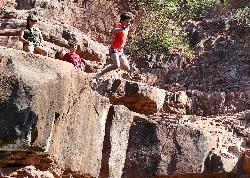
Grasshopper Point
Sedona, Arizona
6.1 miles NECrimson red rock walls frame a teal swimming hole in Oak Creek Canyon — with multiple cliff jumping spots, picnic tables, restrooms, and access via Allen's Bend and the Huckaby Trail.
Dive, Hike, Swim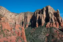
Brins Mesa Trail
Sedona, Arizona
6.3 miles NAn open-mesa hike through red rock towers and formations in Coconino National Forest just outside Sedona — unobstructed desert views that intensify with summer heat, so bring plenty of water.
Hike 4.2 mi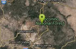
Munds Wagon Trail
Sedona, Arizona
6.7 miles NEA gnarly, loose-rock mountain bike climb near Sedona with 1,700 feet of elevation gain over six miles, delivering increasingly jaw-dropping views the higher you ride.
Hike, Mountain Bike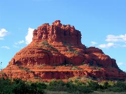
Schnebly Hill Vista Overlook
Sedona, Arizona
7.4 miles NEA sweeping red rock formation divided into four geological members — from reptile-fossil-bearing sandstone to limestone and dolomite — telling 500-foot stories of Sedona's ancient past.
Hike 0.2 mi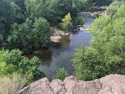
Mormons Crossing
Cornville, Arizona
7.4 miles SWShaded swimming holes, gentle rapids, and a rope swing along Oak Creek — an easy spot to cool off in Cornville.
Swim 0.3 mi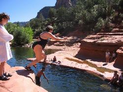
Slide Rock
Sedona, Arizona
8.7 miles NAn 80-foot-long natural waterslide lined with algae on Oak Creek — named one of America's Top Ten Swimming Holes, inside a 43-acre historic apple farm homestead in a stunning red rock canyon.
Hike, Swim 7.1 mi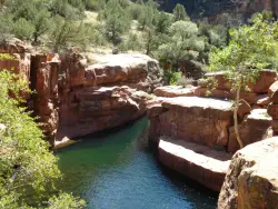
The Crack at Wet Beaver Creek
Rimrock, Arizona
11.7 miles SECrystal-clear water and cliffs high enough to jump from, about 3.5 miles down Bell Trail along Wet Beaver Creek — a rewarding desert hike to a stunning red-rock swimming hole.
Dive, Hike, Horseback, Swim
Beaver Creek Campground
Camp Verde, Arizona
12.0 miles SEBeaver Creek is a refreshing creekside oasis in the high desert of central Arizona, where the cool, clear waters of Wet Beaver Creek wind beneath big cottonwoods and sycamores in the Coconino...
Camp, Canoe, Kayak, Swim 0.1-0.7 mi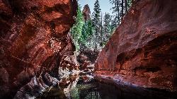
Cave Springs
Sedona, Arizona
12.4 miles NAn 84-site campground on Oak Creek in Sedona's canyon, with picnic tables and natural tree shade, close to Slide Rock, swimming holes, and the Coconino National Forest.
Camp, Hike, Swim 1.0 mi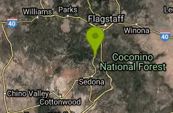
Harding Springs Trail
Sedona, Arizona
12.8 miles NA mostly shaded, gradual climb to Oak Creek Canyon's rim along a historic cattle drive route — with rest stops along the way and the option to continue north or south at the top.
Hike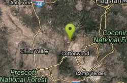
Sycamore Canyon
Sedona, Arizona
15.3 miles WA pleasant 3.5-mile round-trip canyon hike along a perennial stream to several swimming holes — bathing suits may be optional at the more distant pools in Sycamore Canyon.
Swim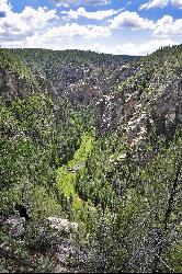
Bullpen Day Use Area
Camp Verde, Arizona
20.5 miles SA big red jumping rock on West Clear Creek, shaded picnic areas, and trails down a stunning canyon below the Mogollon Rim — a full afternoon of swimming and hiking.
Backpack, Dive, Hike, Swim 8.4 mi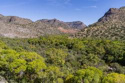
West Clear Creek Trail No. 17
Camp Verde, Arizona
20.5 miles SWest Clear Creek Trail winds down a shaded canyon to cool creek swimming, fishing, and dispersed camping — bring wading shoes, because wet feet are guaranteed.
Backpack, Hike, Swim 3.0 mi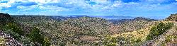
Blodgett Basin Trail No. 31
Camp Verde, Arizona
20.6 miles SA 3-mile riparian canyon trail through West Clear Creek Wilderness with 1,700 feet of elevation change, fishing, camping, and wading in a desert oasis — expect to get your feet wet.
Backpack, Hike, Swim 0.4 mi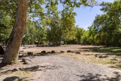
Clear Creek Campground
Camp Verde, Arizona
21.5 miles SA grassy creekside campground shaded by tall cottonwoods on West Clear Creek — ideal for hiking, swimming, fishing for smallmouth bass and sunfish, and wildlife watching in a desert canyon oasis.
Camp, Hike, SwimNearby Campsites
Chavez Crossing
Sedona, Arizona
2.2 miles NEA campground on Oak Creek in Sedona's red-rock canyon, perfectly placed for cool water play, sunsets over Munds Mountain, and access to nearby swimming holes.
Camp, Hike, Swim
Beaver Creek Dispersed Camping
Rimrock, Arizona
11.4 miles SEThis free dispersed camping area sits on the cliffs above Wet Beaver Creek in the Coconino National Forest of central Arizona, in the red-rock and juniper country near Rimrock and Camp Verde, not far...
Camp
Beaver Creek Campground
Camp Verde, Arizona
12.0 miles SEBeaver Creek is a refreshing creekside oasis in the high desert of central Arizona, where the cool, clear waters of Wet Beaver Creek wind beneath big cottonwoods and sycamores in the Coconino...
Camp, Canoe, Kayak, Swim 0.1-0.7 mi
Cave Springs
Sedona, Arizona
12.4 miles NAn 84-site campground on Oak Creek in Sedona's canyon, with picnic tables and natural tree shade, close to Slide Rock, swimming holes, and the Coconino National Forest.
Camp, Hike, Swim 0.4 mi
Clear Creek Campground
Camp Verde, Arizona
21.5 miles SA grassy creekside campground shaded by tall cottonwoods on West Clear Creek — ideal for hiking, swimming, fishing for smallmouth bass and sunfish, and wildlife watching in a desert canyon oasis.
Camp, Hike, Swim
Verde Hot Springs
Camp Verde, Arizona
33.6 miles SNatural hot spring pools beside the Verde River — the remnants of an old resort — reached by wading upstream from a dispersed camping area with no amenities near Sedona.
Camp, Hike, Hot Springs 0.1-7.8 mi
Wolf Creek Falls
Prescott, Arizona
45.4 miles SWSix miles of trails, two campgrounds, and a 90-foot waterfall that roars in spring storms and glitters as a frozen cascade in winter — Wolf Creek Falls is dramatic in every season.
Camp, Hike, Swim


