


Hyrum State Park
Hyrum, Utah
Camp, Canoe, Hike, Kayak, and Swim
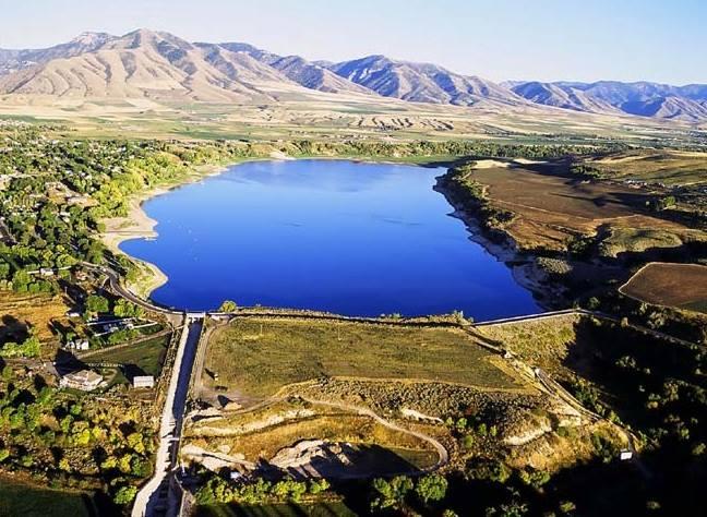
Hyrum Reservoir is an irrigation pond that happens to make a good swimming lake. The Bureau of Reclamation built the dam across the Little Bear River in 1935 as the Hyrum Project, storing spring runoff for farms down the valley, and Utah turned the shoreline into a state park in 1959. It covers about 450 acres at full pool at an elevation just under 4,700 feet, with the Wellsville Mountains rising steeply on the west side and the town of Hyrum a mile northeast.
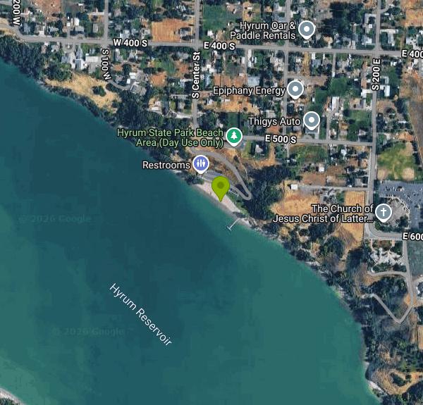
The designated swim beach is on the north shore, a graded strip of sand and gravel with a roped area, shade shelters, restrooms and an adjacent grass day-use lawn. There are no lifeguards. What sets this reservoir apart from most Utah state park waters is temperature: it is shallow for its size, it sits in a valley that gets genuinely hot in July and August, and the surface routinely warms into the mid 70s, which is swimmable in a way that nearby Bear Lake and Porcupine never are. Water quality is tested through the summer and the park posts warnings when harmful algal blooms appear, a recurring issue in warm, nutrient-rich Cache Valley water. Check the posting before you swim.
The campground has around 31 sites on two loops above the beach, with restrooms, showers and a dump station, reserved through the Utah State Parks system. Day-use and camping fees are both charged; the day-use vehicle fee runs about ten dollars and camping is roughly twenty-five to thirty a night depending on the site and season. There is a boat ramp and a courtesy dock at the north end, and the lake allows motorboats, so summer afternoons bring water skiers and wakeboarders. Paddlers usually stick to the south and west arms where the traffic thins out.
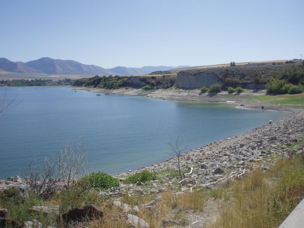
The reservoir is drawn down through late summer to serve the irrigation contracts it was built for, and by September the waterline can retreat far enough to leave the beach fronting mudflat rather than water. Early to mid summer is the reliable window. In winter the lake freezes and the park stays open for ice fishing, with yellow perch, rainbow trout and bluegill through the ice.
Beyond the water, the park has a short shoreline trail and connects to the Cache Valley road network that gets you into the Wellsville range, often described as one of the steepest freestanding mountain ranges in North America. The Wellsville ridgeline visible from the beach is also a major autumn raptor migration corridor, and hawk watchers count from the summit above the reservoir every September. Logan is eight miles north with everything a town needs, and Blacksmith Fork Canyon opens east of Hyrum with the Hardware Ranch elk refuge at the top of it.
More Information
Be courteous, informed, and prepared. Read trailhead guidelines, stay on the trail, and don't feed the wildlife.
Read More
- Plan Ahead and Prepare
- Travel & camp on durable surfaces
- Dispose of waste properly
- Leave what you find
- Minimize campfire impacts
- Respect wildlife
- Be considerate of other visitors
Directions
From Hyrum, Utah
- Head west on E Main St toward S 100 E (0.2 mi)
- Turn left onto S Center St (0.7 mi)
- S Center St turns left and becomes E 500 S (335 ft)
- Turn rightDestination will be on the left(0.3 mi)
 Hyrum Reservoir and its dam from the air, with the Wellsville Mountains behind courtesy of Bureau of Reclamation↗ (CC BY-SA 2.0↗)
 The rocky shoreline at lower water courtesy of Ntsimp↗ (Public domain↗)
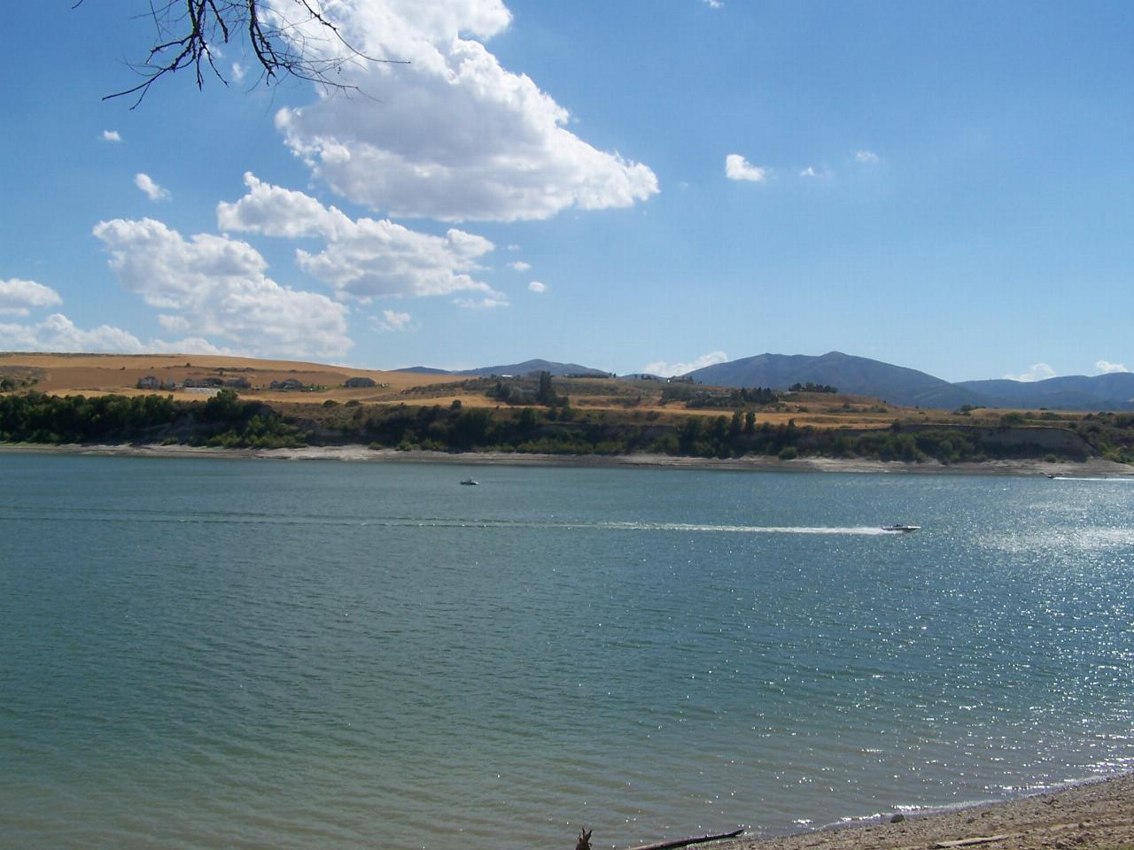
 Wind chop and a boat wake on the reservoir below the dry hills courtesy of Kasiarunachalam (talk)↗ (CC BY-SA 3.0↗)
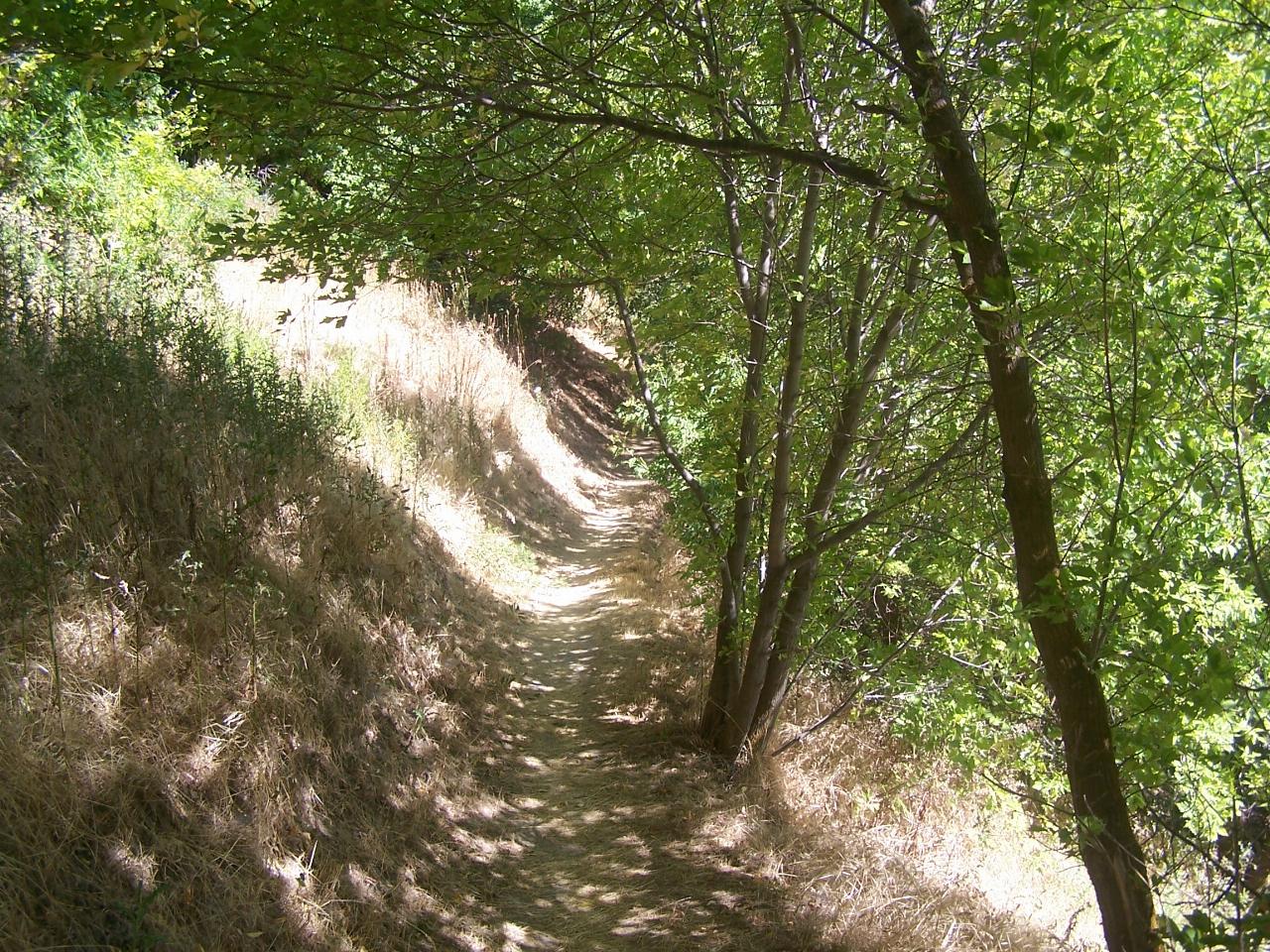
 The shaded dirt trail along the park shoreline courtesy of Kasiarunachalam (talk)↗ (CC BY-SA 3.0↗)
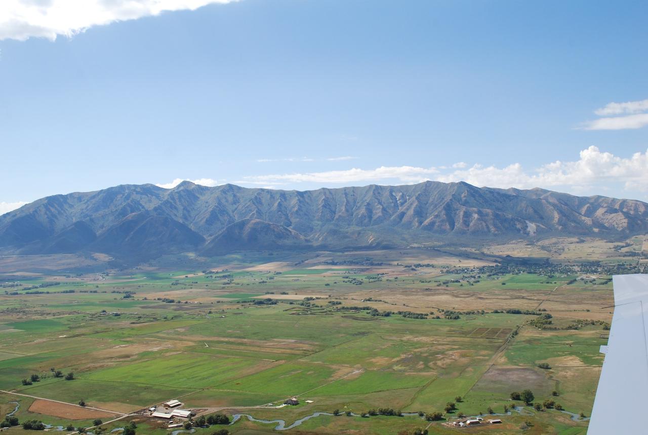
 The Wellsville Mountains rising over the Cache Valley farmland west of the reservoir courtesy of Steve Sellers↗ (CC BY-SA 2.0↗)
Other Swimming Holes, Hiking Trails, Canoeing Areas, and Kayaking Areas Nearby

Providence Canyon
Logan, Utah
7.6 miles NEA wooded canyon near Logan packed with trails and campgrounds offering multiple loop or out-and-back options — beautiful scenery throughout, with a great MTB shuttle descent from top to bottom.
Camp, Hike, Mountain Bike
First Dam
Logan, Utah
8.8 miles NA narrow grassy park at the start of Logan Canyon — perfect for picnics, volleyball, kayaking, canoeing, fishing, and trail running on the nearby Bonneville and Skyline trails.
Canoe, Hike, Kayak
Benson River
Logan, Utah
10.0 miles NWPaddling the Bear River's Cutler Wetlands Maze through towering cattails puts you within yards of a remarkable variety of birds and wildlife near Logan, Utah.
Canoe 2.9 mi
Pineview Reservoir
Eden, Utah
22.6 miles SA stunning Wasatch reservoir with three sandy beaches, boating, kayaking, paddleboarding, water skiing, and 18 miles of paved trail — the ultimate summer base behind the Ogden front.
Camp, Canoe, Hike, Kayak, Mountain Bike, Swim
Ogden Kayak Park
Ogden, Utah
28.4 miles SUtah's first professionally designed river kayaking play-park, built in 2000 with local paddler input — a whitewater course in the river plus a covered shelter, restrooms, and drinking water in Ogden.
Kayak
Bonneville Shoreline Trail, Ogden, UT, USA
Ogden, Utah
29.2 miles SBackpack, Hike, and Mountain Bike near Ogden, Utah
Backpack, Hike, Mountain Bike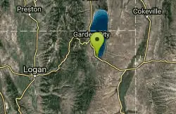
Rendezvous Beach
Laketown, Utah
30.4 miles NEA wide, long sandy beach on the south shore of Bear Lake with three campgrounds totaling 141 sites, flush toilets, hot showers, and utility hookups at two of the loops.
Swim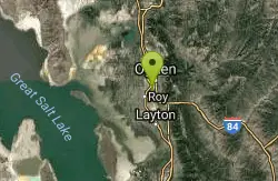
Riverdale Wave
Riverdale, Utah
31.0 miles SA spring-runoff wave on the Weber River that's a destination for the playboating crowd on sunny Saturdays — high-water performance, but not recommended for beginners without a solid roll.
Kayak
Adams Canyon Waterfall
Layton, Utah
38.5 miles SAdams Canyon is easily the most popular hike in Layton, Utah, and one of the best-loved waterfall hikes on the Wasatch Front, a lush canyon climb that leads to not one but two beautiful waterfalls...
Hike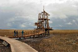
Great Salt Lake Shorelands Preserve
Layton, Utah
40.8 miles SThe Great Salt Lake Shorelands Preserve is a hidden gem on the eastern edge of the Great Salt Lake near Layton, Utah, where a mile-plus of boardwalk floats out over a living wetland that most people...
Hike, Mountain Bike 1.8 mi
Gailey Trail At Nicholls Park (Nicholls Hollow)
Kaysville, Utah
41.6 miles SA four-season nature trail through shady cottonwoods with bridges over streams, gorgeous autumn leaves, and a snowy winter transformation — perfect for walking, running, or biking.
Hike, Mountain Bike 6.4 mi
Farmington Canyon
Farmington, Utah
43.5 miles SA four-season canyon road and trail system near Farmington with vibrant autumn colors, access to Francis and Bountiful Peaks, two campgrounds, and sweeping views of Kaysville and the Great Salt Lake.
Hike, Mountain Bike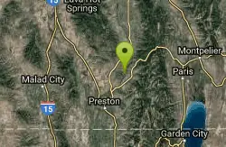
Oneida Narrows
Preston, Idaho
43.8 miles NOneida Narrows is a scenic stretch of the Bear River that has become southeastern Idaho's favorite summer float, where the river carves through a dramatic canyon north of Preston. With clear...
Canoe, Whitewater 0.8-2.0 mi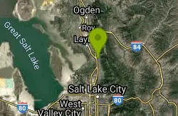
Farmington Creek trail
Farmington, Utah
43.9 miles SA multi-destination Farmington trail connecting a fishing pond, Lagoon amusement park, a small zoo with elk and bison, and scenic downtown Farmington — open to bikes, rollerblades, and foot traffic.
Hike, Mountain Bike, Skateboard 6.2-16.2 mi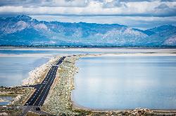
Antelope Island
Syracuse, Utah
43.9 miles SWThe largest island in the Great Salt Lake, home to 500 bison, pronghorn, and bighorn sheep — with backcountry hiking, biking, horseback riding, and cross-country skiing across scenic rangelands.
Hike, Horseback, Mountain Bike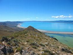
Bear Lake / North Beach
Saint Charles, Idaho
44.8 miles NEA 20-mile-long, 8-mile-wide mountain lake at 5,900 feet with a two-mile sandy beach, gradual swimming slopes, and water skiing — plus native cutthroat and lake trout fishing and winter cisco runs.
Camp, Canoe, Kayak, Swim 5.6 mi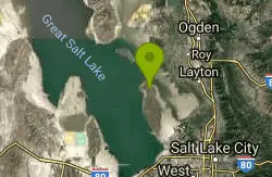
Antelope Island Lakeside Trail
Syracuse, Utah
45.2 miles SWAn easy 2-hour loop on Antelope Island around the Great Salt Lake, with rock formations, views of the Sierra Nevadas, and the GSL — kid-friendly and good for bug fans.
Camp, Hike, Horseback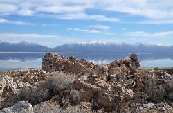
Antelope Island State Park
Syracuse, Utah
45.7 miles SWTwenty miles of trails cross Utah's Great Salt Lake island alongside free-roaming bison, antelope, and bobcats — best visited in early spring or late fall to beat the bugs.
Backpack, Camp, Hike, Horseback, Mountain Bike 7.2 mi
White Rock Loop
Syracuse, Utah
45.8 miles SWAn easy loop around Antelope Island with sweeping landscape views, wildlife like bison and birds, and leashed-dog access — no shade, so pack sunscreen.
Hike, Mountain Bike, Snowshoe
Parrish Canyon Trail
Centerville, Utah
48.3 miles SA Wasatch foothills trail connecting to Barnard Creek with views of Salt Lake City from the summit, wildlife to spot, pictographs on rocks in spring and summer, and a bridge as an easy turnaround for young hikers.
Hike, Mountain BikeNearby Campsites
Providence Canyon
Logan, Utah
7.6 miles NEA wooded canyon near Logan packed with trails and campgrounds offering multiple loop or out-and-back options — beautiful scenery throughout, with a great MTB shuttle descent from top to bottom.
Camp, Hike, Mountain Bike 2.9 mi
Pineview Reservoir
Eden, Utah
22.6 miles SA stunning Wasatch reservoir with three sandy beaches, boating, kayaking, paddleboarding, water skiing, and 18 miles of paved trail — the ultimate summer base behind the Ogden front.
Camp, Canoe, Hike, Kayak, Mountain Bike, Swim
Bloomington Canyon Yurt
Bloomington, Idaho
44.5 miles NEThis backcountry yurt in Bear Lake Idaho opens up prime ski and snowmobile terrain for WSU students and the public — bring map and navigation skills for winter access.
Camp, Cross-country Ski, Snowshoe
Bear Lake / North Beach
Saint Charles, Idaho
44.8 miles NEA 20-mile-long, 8-mile-wide mountain lake at 5,900 feet with a two-mile sandy beach, gradual swimming slopes, and water skiing — plus native cutthroat and lake trout fishing and winter cisco runs.
Camp, Canoe, Kayak, Swim 5.6 mi
Antelope Island Lakeside Trail
Syracuse, Utah
45.2 miles SWAn easy 2-hour loop on Antelope Island around the Great Salt Lake, with rock formations, views of the Sierra Nevadas, and the GSL — kid-friendly and good for bug fans.
Camp, Hike, Horseback
Antelope Island State Park
Syracuse, Utah
45.7 miles SWTwenty miles of trails cross Utah's Great Salt Lake island alongside free-roaming bison, antelope, and bobcats — best visited in early spring or late fall to beat the bugs.
Backpack, Camp, Hike, Horseback, Mountain Bike


