


Kyhv Peak
Provo, Utah
| Address: | canyon Provo,, Squaw Peak Rd, Provo, UT 84604, USA |
| GPS: |
40°18'5.2"N 111°37'32.0"W Maps | Directions |
| State: | Utah |
Airsoft and Paintball
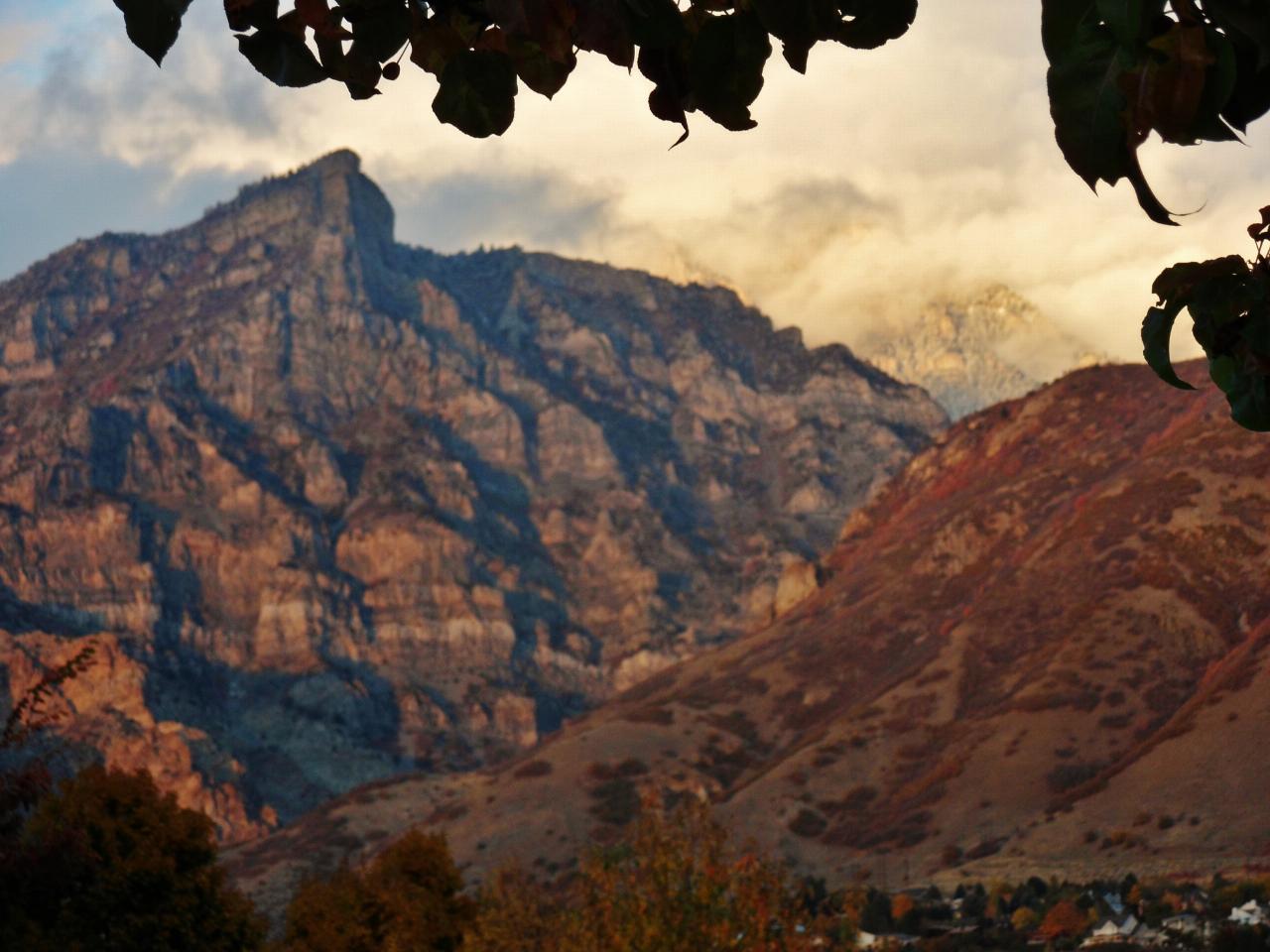
Kyhv Peak is the dramatic 7,876-foot summit that towers over the mouth of Rock Canyon, rising steeply behind Brigham Young University and the city of Provo on the western front of Utah's Wasatch Range. Long one of the most recognizable peaks on the Provo skyline, it was officially renamed Kyhv Peak in 2022 — "kyhv" is a word from the language of the Timpanogos people — when the U.S. Department of the Interior removed the derogatory former name from federal use across the country. It remains a favorite Wasatch Front objective for hikers who want a big-view summit within minutes of town.
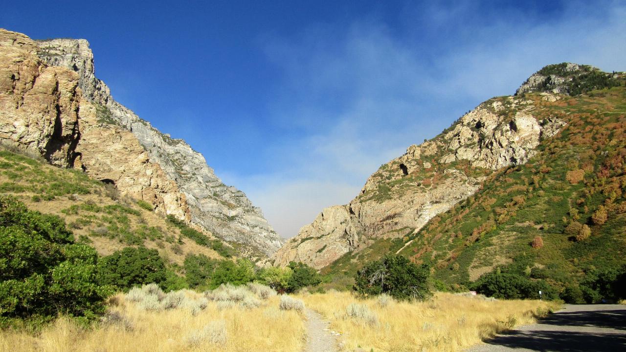
Reaching the top is a serious workout. From the Rock Canyon Trailhead at the mouth of the canyon, the route climbs roughly 3,000 feet in about 3.5 miles — a relentlessly steep grind that rewards the effort with a sweeping panorama of Utah Lake, the Provo valley, and the high Wasatch peaks stretching north and south. The lower stretch follows the popular Rock Canyon trail, a scenic gorge beloved by rock climbers and casual walkers alike, with a creek running near the main trail split before the route breaks off and begins its punishing ascent toward the ridge and summit.
The trail is dog-friendly and open year-round, but the character of the hike changes hard with the seasons. Late spring through fall is prime time; the upper mountain holds snow well into spring, and the steep, exposed slopes can be genuinely hazardous when snow-covered or icy. This is a strenuous, high-gain climb with real exposure up high, and afternoon thunderstorms are common on the Wasatch Front in summer, so an early start and a close eye on the weather are worth the effort. There is little shade and no water once you leave the canyon, which makes heat and hydration the two things most likely to turn people around.
Rock Canyon itself is worth knowing about even if you never tag the summit: the lower canyon is one of Utah County's premier sport-climbing areas and an easy, family-friendly walk, so the trailhead serves everyone from after-work strollers to peak-baggers. The setting is quintessential Wasatch — limestone and quartzite walls, scrub oak and maple that blaze red and gold in autumn, and mule deer on the slopes at dawn and dusk.
Come prepared for a demanding day out: carry plenty of water, sun protection for the exposed climb, sturdy shoes with good grip for the loose, steep tread, and layers for the cooler, breezier summit. Start early to beat both the heat and the storms, let someone know your plan, and give the mountain the respect its 3,000-foot climb deserves. The payoff — a hard-won summit looking straight down on Provo and out across Utah Lake — is one of the best in the range for the mileage.
More Information
Hiking to Kyhv Peak (Formerly Squaw Peak)
The Award-Winning blog, “Girl on a Hike, follows hiking enthusiast Alicia, and her hiking companion, Charlie, a Golden Lab, on their outdoor adventures.
https://girlonahike.com/hiking-to-kyhv-peak.htmlKyhv Peak - Wikipedia
Kyhv Peak ( KIVE, like “dive,” from a Ute word for “mountain”)[1] is a peak in the Wasatch range. It was once known as “Squaw Peak” and was officially renamed in 2022 as part of a federal order to remove the ethnic slur “squaw” from federally owned places in the United States.[2]
https://en.wikipedia.org/wiki/Kyhv_Peak
- Plan Ahead and Prepare
- Travel & camp on durable surfaces
- Dispose of waste properly
- Leave what you find
- Minimize campfire impacts
- Respect wildlife
- Be considerate of other visitors
Directions
From Provo, Utah
- Head west on Center St toward N University Ave (46 ft)
- Turn right at the 1st cross street onto US-189 N/N University AveContinue to follow US-189 N(7.3 mi)
- Turn right onto Squaw Peak Rd (4.1 mi)
- Turn right onto Forest Rd 199Destination will be on the left(0.3 mi)

Added by danekirana
Other Paintball Fields and Airsoft Fields Nearby
Eagle Mountain Paintball Field
Eagle Mountain, Utah
18.5 miles WA natural paintball field with culvert-pipe bunkers built into the brush just south of the Eagle Mountain trailhead — an off-the-beaten-path spot for backyard-style play.
Airsoft, Paintball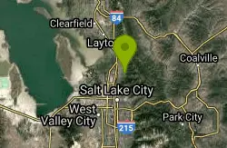
Holbrook Trailhead
Bountiful, Utah
41.7 miles NThe Holbrook Trailhead is a popular access point for the Bonneville Shoreline Trail and Holbrook Canyon above Bountiful, Utah, on the western face of the Wasatch. Perched on the bench right at the...
Airsoft, Backpack, Camp, Paintball, SnowshoeNearby Campsites
Y-Mountain Summit Trail
Provo, Utah
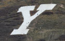
4.0 miles SA 1.2-mile climb east of BYU leads to a massive block Y on the hillside and sweeping panoramas over Provo, Orem, Utah Valley, and Utah Lake below.
Camp, Hike 1.6-14.1 mi
Mount Timpanogas
Provo, Utah
9.0 miles NUtah's most-climbed mountain towers 7,000 feet above the Provo valley, stretching seven miles north to south with multiple peaks over 11,000 feet — a Wasatch landmark.
Camp, Hike, Horseback, Swim 4.7 mi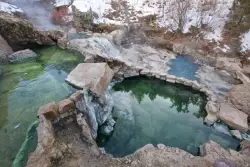
Fifth Water Hot Springs
Provo, Utah
20.7 miles SEA scenic 2.5-mile riverside hike to the famous Diamond Fork rock pools and waterfall, with soaks up to 108°.
Backpack, Camp, Hike, Hot Springs, Mountain Bike, Swim
Spruces Campground
Salt Lake City, Utah
23.5 miles NA fee campground in Big Cottonwood Canyon near Salt Lake City — check USDA.gov for current rates and seasonal availability.
Camp, Sled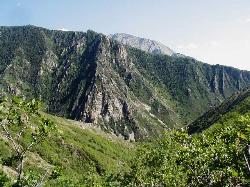
Mill Creek Canyon
Salt Lake City, Utah
27.9 miles NAn out-and-back canyon trail with over 1,000 feet of elevation gain — the lower ski trail sees heavy traffic while the upper section above Elbow Fork stays quiet, with a reservable Yurt at the top December through April.
Camp, Cross-country Ski, Snowshoe
Holbrook Trailhead
Bountiful, Utah
41.7 miles NThe Holbrook Trailhead is a popular access point for the Bonneville Shoreline Trail and Holbrook Canyon above Bountiful, Utah, on the western face of the Wasatch. Perched on the bench right at the...
Airsoft, Backpack, Camp, Paintball, Snowshoe


