


Eagle Mountain Paintball Field
Eagle Mountain, Utah
| Address: | Eagle Mountain, UT 84005, USA |
| GPS: |
40°20'13.7"N 111°58'28.1"W Maps | Directions |
| State: | Utah |
Airsoft and Paintball
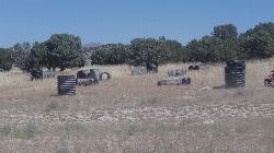
The Eagle Mountain Paintball Field is a homegrown, free paintball spot on the desert edge of Eagle Mountain, Utah, in the Pony Express country southwest of Utah Lake. It's not a commercial field; it's an informal, player-built battlefield carved out of a natural outcropping of bushes and brush just south of the Eagle Mountain trailhead, where local players built up cover using lengths of corrugated culvert pipe for bunkers and lanes. There's a good spot off the main road for parking.
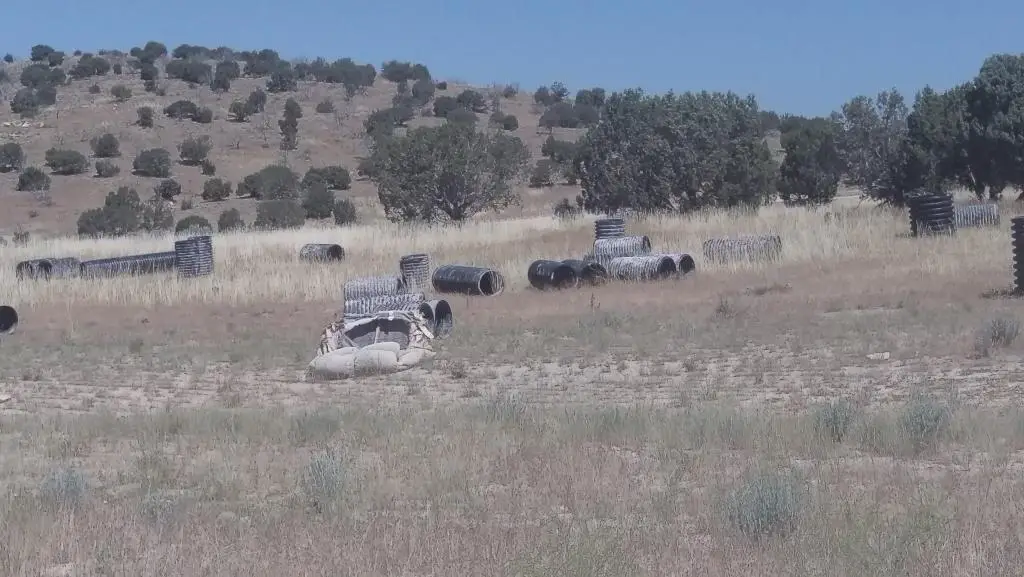
The setup is scrappy and fun in the way backyard fields are: natural brush for concealment and culvert-pipe bunkers for hard cover and objectives, out in the open high desert.
An honest caveat: this is an informal, unofficial field with no owner or organization maintaining it, so its condition changes. The brush and the culvert-pipe bunkers may or may not still be set up as described, since do-it-yourself fields like this come and go with the players who use them, so go expecting to find anything from a full setup to just open desert. It costs nothing to check out, but don't count on a maintained course.
The open high desert bakes in summer with no shade, so spring and fall are the pleasant seasons and early mornings are best when it's warm. For a free, informal, culvert-and-brush paintball field a short drive from the Eagle Mountain trailhead, it's a fun no-cost option, as long as you go in knowing it's a DIY spot rather than a maintained course.
More Information
Add Resource
- Plan Ahead and Prepare
- Travel & camp on durable surfaces
- Dispose of waste properly
- Leave what you find
- Minimize campfire impacts
- Respect wildlife
- Be considerate of other visitors
Directions
From Eagle Mountain, Utah
- Head east on S Independence Way toward Revere Way (433 ft)
- Continue onto Church Way (0.1 mi)
- At the traffic circle, take the 1st exit (190 ft)
- Turn left onto Bobby Wren Blvd (0.3 mi)
- Turn right at the 1st cross street onto Pony Express Pkwy/Sweetwater NContinue to follow Pony Express Pkwy(2.2 mi)
- Turn right onto N Lake Mountain Rd (1.0 mi)
- Turn left (0.4 mi)
- Slight left (0.9 mi)
- Turn rightDestination will be on the left(0.3 mi)
Linc
7/1/18 12:18 amphoenix
6/16/18 7:16 pm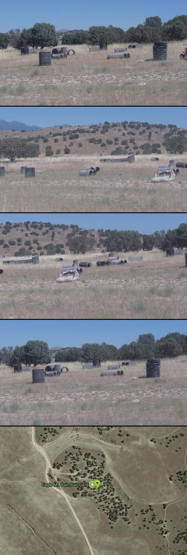



Other Paintball Fields and Airsoft Fields Nearby
Kyhv Peak
Provo, Utah
18.6 miles EKyhv Peak is the dramatic 7,876-foot summit that towers over the mouth of Rock Canyon, rising steeply behind Brigham Young University and the city of Provo on the western front of Utah's Wasatch...
Airsoft, Paintball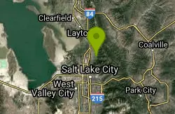
Holbrook Trailhead
Bountiful, Utah
38.2 miles NThe Holbrook Trailhead is a popular access point for the Bonneville Shoreline Trail and Holbrook Canyon above Bountiful, Utah, on the western face of the Wasatch. Perched on the bench right at the...
Airsoft, Backpack, Camp, Paintball, SnowshoeNearby Campsites

Mount Timpanogas
Provo, Utah
18.8 miles EUtah's most-climbed mountain towers 7,000 feet above the Provo valley, stretching seven miles north to south with multiple peaks over 11,000 feet — a Wasatch landmark.
Camp, Hike, Horseback, Swim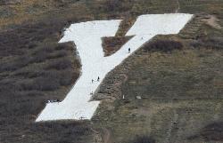
Y-Mountain Summit Trail
Provo, Utah
20.3 miles EA 1.2-mile climb east of BYU leads to a massive block Y on the hillside and sweeping panoramas over Provo, Orem, Utah Valley, and Utah Lake below.
Camp, Hike
Spruces Campground
Salt Lake City, Utah
27.4 miles NEA fee campground in Big Cottonwood Canyon near Salt Lake City — check USDA.gov for current rates and seasonal availability.
Camp, Sled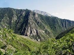
Mill Creek Canyon
Salt Lake City, Utah
28.6 miles NEAn out-and-back canyon trail with over 1,000 feet of elevation gain — the lower ski trail sees heavy traffic while the upper section above Elbow Fork stays quiet, with a reservable Yurt at the top December through April.
Camp, Cross-country Ski, Snowshoe 4.7 mi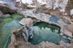
Fifth Water Hot Springs
Provo, Utah
37.1 miles SEA scenic 2.5-mile riverside hike to the famous Diamond Fork rock pools and waterfall, with soaks up to 108°.
Backpack, Camp, Hike, Hot Springs, Mountain Bike, Swim
Holbrook Trailhead
Bountiful, Utah
38.2 miles NThe Holbrook Trailhead is a popular access point for the Bonneville Shoreline Trail and Holbrook Canyon above Bountiful, Utah, on the western face of the Wasatch. Perched on the bench right at the...
Airsoft, Backpack, Camp, Paintball, Snowshoe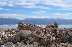
Antelope Island State Park
Syracuse, Utah
49.7 miles NTwenty miles of trails cross Utah's Great Salt Lake island alongside free-roaming bison, antelope, and bobcats — best visited in early spring or late fall to beat the bugs.
Backpack, Camp, Hike, Horseback, Mountain Bike 5.6 mi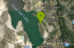
Antelope Island Lakeside Trail
Syracuse, Utah
49.8 miles NAn easy 2-hour loop on Antelope Island around the Great Salt Lake, with rock formations, views of the Sierra Nevadas, and the GSL — kid-friendly and good for bug fans.
Camp, Hike, Horseback


