


Fifth Water Hot Springs
Provo, Utah

| Address: | Diamond Fork Road, Spanish Fork, Utah, USA |
| GPS: |
40°5'4.0"N 111°21'18.9"W Maps | Directions |
| State: | Utah |
| Trail Length: | 5.00 miles |
| MTB Difficulty: | Beginner |
| Trail Type: | Out & Back |
| Hike Difficulty: | Beginner |
| Elevation Gain: | 500 feet |
| Trails/Routes: | 4.7 mi |
Restrooms Rivers Waterfalls Streams Trails Rocks Wildflowers Ponds Pet Friendly Motorized Use
Backpack, Camp, Hike, Hot Springs, Mountain Bike, and Swim
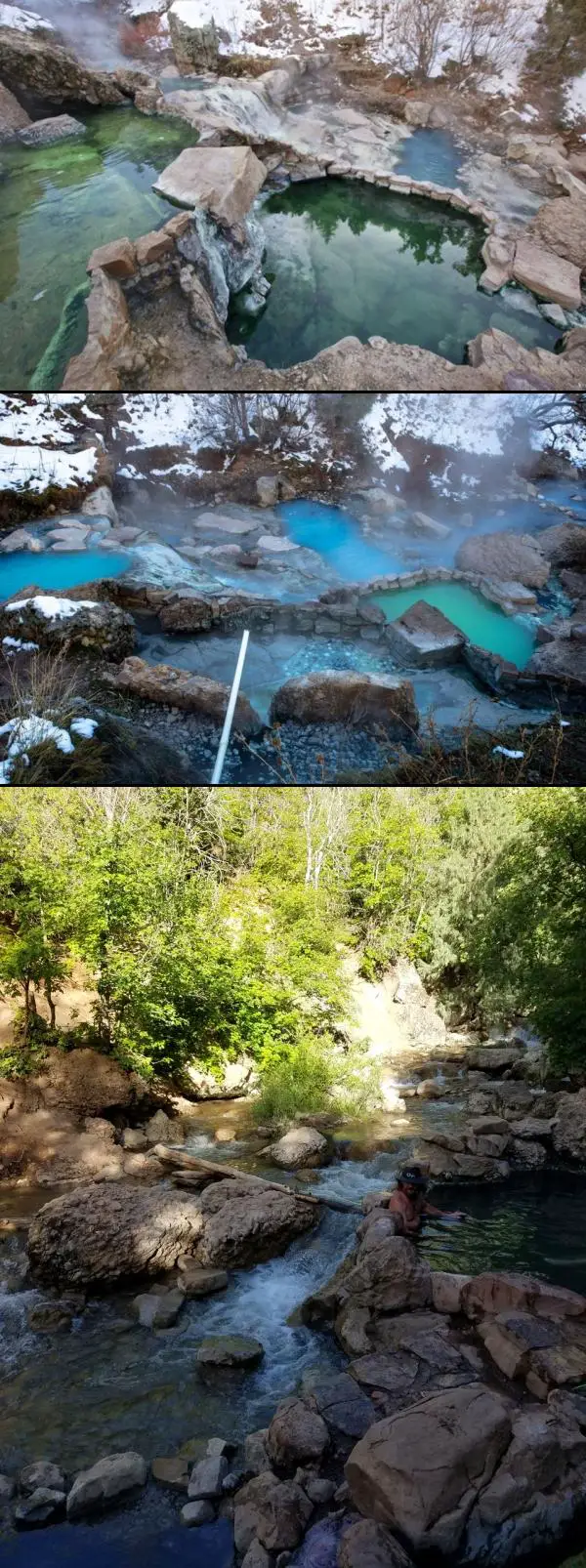
Fifth Water Hot Springs — better known to generations of Utahns as Diamond Fork Hot Springs — is one of the most beloved soaks in the state: a series of steaming, blue-green mineral pools tucked beside a waterfall in a pretty canyon southeast of Provo. A scenic drive up Diamond Fork Canyon and a riverside hike of about 2.5 miles each way lead to the reward, where hot water tumbles down a travertine hillside into a staircase of rock pools ranging from pleasantly warm to a toasty 105–110°F at the source.
The pools sit right where Fifth Water Creek meets a small waterfall, and part of the fun is choosing your spot. As you come into view of the falls you'll see a few pools perched just above the creek; more line the base of the waterfall, including shallow soakers and spots where you can nudge the rocks around to mix hot spring water with cool creek water and dial in your own temperature. Wander behind and beyond the waterfall and you'll find a couple of quieter, more secluded pools — just watch the slick, mineral-coated rock, which can be treacherously slippery. The water carries a faint sulfur smell and stains everything a milky blue-green; it's all part of the character.
A few practical notes make the trip smoother. There's nowhere private to change at the springs, so most people hike in their swimwear (and on a sunny day you'll dry off easily on the walk out). Bring water shoes or sandals if your feet are tender — the rocky pool bottoms and short scrambles are much friendlier with something on your feet. This is a relaxed, come-as-you-are place with a longstanding clothing-optional streak, so groups with kids may occasionally encounter suit-free soakers, especially on quiet weekdays.
Timing matters more here than at most hikes. The Diamond Fork Road gate closes for winter (typically from around November into late spring), and when it's shut the hike balloons to roughly 12–13 miles round trip — a popular but serious snowshoe or ski outing rather than a casual stroll. When the road is open, it's about a 5-mile round trip. Fall, winter, and spring are the sweetest seasons: cooler air makes the hot water far more inviting and the crowds thinner. The springs are busiest on weekends and holidays, so go early or midweek if you can, and note that a trailhead parking fee has been proposed for this popular spot, so come prepared for one.
Come prepared and tread lightly. Rattlesnakes are active along the sun-warmed trail in the warmer months — on a hot day you may well spot several snakes, most of them harmless, so simply watch where you step and reach. Carry plenty of drinking water — a long hot soak is dehydrating — and pack out everything you bring; broken glass and litter have been a real problem here, and keeping this gem clean is on all of us. Dogs are welcome on the trail. With a little planning, Fifth Water rewards you with one of the finest hot-spring soaks in the Wasatch — a waterfall at your back, canyon walls above, and warm mineral water swirling all around.
More Information
A Guide to Utah’s Diamond Fork Hot Springs
Plan your trip out to the amazing Diamond Fork (Fifth Water) Hot Springs in Utah including how to get there, what to bring, and more.
https://bearfoottheory.com/diamond-fork-hot-springs/Never modify trail features. Ride trails when they're dry enough that you won't leave ruts. Speak up when you see others on the trail and always yield to hikers, horses, and others coming uphill. Always ride on the established trail.
Read MoreBe courteous, informed, and prepared. Read trailhead guidelines, stay on the trail, and don't feed the wildlife.
Read More
Be careful. Pay attention to posted signs and always test the waters before you get in. Some hot springs can get up to boiling temperatures. Be sure to drink plenty of water to combat the dehydrating effect of the spring.
Be respectful of other soakers and the hot spring. Don't hog the pool. Camp at least 200 yards away and keep fires in designated areas. Keep your pets out of the water and never pee in thermal feature. Glass bottles should never go near a hot spring.
- Plan Ahead and Prepare
- Travel & camp on durable surfaces
- Dispose of waste properly
- Leave what you find
- Minimize campfire impacts
- Respect wildlife
- Be considerate of other visitors
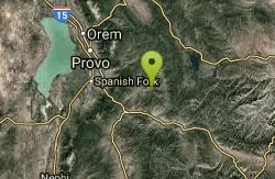
Directions
From Provo, Utah
- Head west on E Center St toward N University Ave (0.2 mi)
- Turn left onto S 200 W St/
S Freedom Blvd (0.5 mi) - Turn left onto W 500 S St (0.2 mi)
- Turn right onto S University AvePass by Sizzler (on the left in 0.8 mi)(1.1 mi)
- Merge onto I-15 S via the ramp to Las Vegas (5.5 mi)
- Take exit 257 B-A for US 6 E toward Price (0.8 mi)
- Continue onto US-6 EPass by Culver's (on the right in 0.3 mi)(10.7 mi)
- Turn left onto Diamond Fork RdDestination will be on the right(9.8 mi)
GPS is to the trailhead. From there, follow the trail west along Sixth Water Creek, then go right at Fifth Water Creek. It's about 2.5 miles each way and the trail is well marked, despite what the trailhead sign would have you believe.
 Fifth Water Hot Springs courtesy of PinsDaddy.com↗

 Upper Hot Pools courtesy of endovereric↗
 Falls, Trail, and Lower Hot Pools courtesy of endovereric↗
 Lower Hot Pools courtesy of endovereric↗
 Hot Pools near the Falls courtesy of endovereric↗
 March 2019 courtesy of Kaleb Houck↗
 March 2019 courtesy of Kaleb Houck↗
 March 2019 courtesy of Kaleb Houck↗
 March 2019 courtesy of Kaleb Houck↗


Other Mountain Bike Trails, Swimming Holes, Hiking Trails, Hot Springs, and Backpacking Trails Nearby
Three Forks Loop
Springville, Utah
0.0 miles NEA 16-mile strong-intermediate to advanced mountain bike loop through Three Forks canyon with 1,900 feet of elevation, waterfalls, and Fifth Water singletrack — a full-day adventure.
Mountain Bike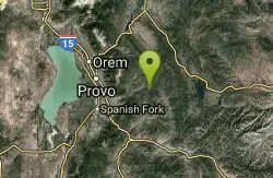
Wardsworth Creek
Springville, Utah
7.9 miles NAn intermediate technical creek trail climbing past rooty and rocky terrain to a small pond, with the option to link into Dry Fork trail for a longer ride.
Mountain Bike
Dripping Rock
Spanish Fork, Utah
12.7 miles WDripping Rock is along a paved path adjacent to Spanish Oaks Golf Course.
Hike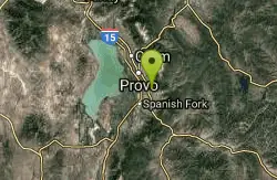
Squaw Peak Trail
Springville, Utah
14.0 miles NWA mountain bike climb from Rock Canyon trailhead up to Squaw Peak summit via five wooden bridges and a switchback trail — ride it all the way down for a thrilling descent.
Mountain Bike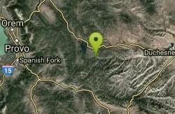
Strawberry Narrows
Heber City, Utah
17.0 miles EA well-maintained roller-coaster singletrack near Heber City that starts in open fields and flows through thick forest narrows — only a few hundred feet of elevation change.
Mountain Bike
Bicentennial Park
Provo, Utah
17.1 miles NWA 16-hole disc golf course in Provo beside a duck pond, a playground, a boardwalk nature trail with natural springs, and mature trees that make even moderate holes a genuine challenge.
Disc Golf, Hike, Sled
Salem Pond
Salem, Utah
17.1 miles WA community gem with kayaking, paddleboarding, fishing, a trail around the whole pond, a bridge for summer jumping, and Christmas lights in winter — Salem Pond does it all.
Canoe, Kayak, Skateboard, Swim
Y-Mountain Summit Trail
Provo, Utah
17.4 miles NWA 1.2-mile climb east of BYU leads to a massive block Y on the hillside and sweeping panoramas over Provo, Orem, Utah Valley, and Utah Lake below.
Camp, Hike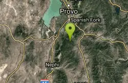
Blackhawk Loop
Salem, Utah
18.2 miles SWOver 14 miles of blue-ribbon singletrack near Salem, Utah demanding stamina, technical skill, and route-finding — one of Utah's premier backcountry mountain bike experiences.
Mountain Bike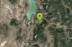
4 Bay
Elk Ridge, Utah
18.3 miles WSmooth singletrack with gradual climbs, a few rocky spots, and named trails — Lariat, Taze, and Ray Gun — spreading south of a small water reservoir.
Mountain Bike
Grotto Falls
Payson, Utah
19.3 miles SWA gentle wooded creek trail with bridges leads to a waterfall and limestone grotto you can crawl around — all ages welcome and especially stunning in fall color season.
Hike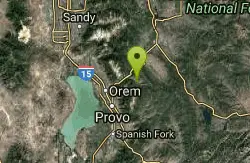
Big Springs
Provo, Utah
19.3 miles NWSingletrack through trees and an open meadow, crossing foot bridges and gaining about 1,000 feet to a small water runoff at Big Springs — with a few technical sections to keep things honest.
Mountain Bike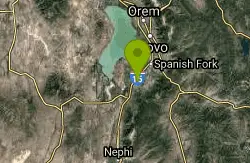
P Mountain and Little Mountain
Payson, Utah
20.1 miles WP Mountain and Little Mountain is Payson's hometown hike, a short, rewarding ridge walk in the Uinta-Wasatch-Cache National Forest that leads to the point above the giant white "P" overlooking town,...
Hike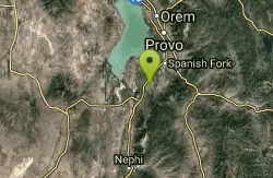
Sheepherder Loop
Payson, Utah
20.4 miles WAn 'impossible uphill' singletrack loop near Payson, Utah with punchy climbs through old-growth pine and some rough spots on the Big Spring Creek descent — absolutely rewarding.
Mountain Bike
Provo River Parkway Trail
Provo, Utah
22.0 miles NWA fully paved 6-mile canyon ride from Vivian Park to the mouth of Provo Canyon, passing waterfalls and a fish-feeding spot — best done with two cars for a car-shuttle downhill.
Hike, Mountain Bike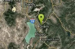
South Fork of the Provo
Provo, Utah
22.5 miles NWA fun, short, scenic singletrack ride on the South Fork of the Provo — ideal for introducing new riders to mountain biking, with a loop at the end and an optional extension past Big Spring.
Mountain Bike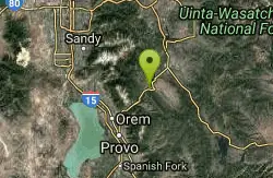
Deer Creek State Park
Wallsburg, Utah
24.1 miles NOne of Utah's finest year-round fishing spots on Deer Creek's reservoir, plus boating, swimming, hiking, mountain biking, and camping near Wallsburg.
Mountain Bike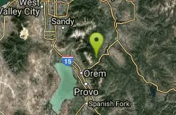
Archie's Loop
Sundance, Utah
24.2 miles NWA 2.2-mile intermediate mountain bike and hiking trail near Sundance with panoramic views of Mt. Timpanogos, Provo Canyon, Deer Creek Reservoir, and the Heber Valley.
Mountain Bike
Timpanogos Falls
Provo, Utah
25.7 miles NWA lesser-known multi-tiered waterfall on the Mt. Timpanogos trail, visible early on and surrounded by wildflowers in late spring — a great beginner hike shared with the Stewart Falls trailhead.
Hike
Stewart Falls
Provo, Utah
25.7 miles NWA glacier-fed, 200-foot multi-tiered waterfall on Mt. Timpanogos — about a 4-mile round trip hike through forest with a few steep edges near the falls.
HikeNearby Campsites
Y-Mountain Summit Trail
Provo, Utah
17.4 miles NWA 1.2-mile climb east of BYU leads to a massive block Y on the hillside and sweeping panoramas over Provo, Orem, Utah Valley, and Utah Lake below.
Camp, Hike 1.6-14.1 mi
Mount Timpanogas
Provo, Utah
28.2 miles NWUtah's most-climbed mountain towers 7,000 feet above the Provo valley, stretching seven miles north to south with multiple peaks over 11,000 feet — a Wasatch landmark.
Camp, Hike, Horseback, Swim
Maple Canyon
Fountain Green, Utah
40.4 miles SWMaple Canyon's one-of-a-kind cobblestone conglomerate cliffs host 140+ bolted routes from 5.4 to 5.14, making it one of the most unique climbing destinations in the US.
Camp, Hike, Mountain Bike, Rock Climb
Spruces Campground
Salt Lake City, Utah
41.2 miles NA fee campground in Big Cottonwood Canyon near Salt Lake City — check USDA.gov for current rates and seasonal availability.
Camp, Sled
Mill Creek Canyon
Salt Lake City, Utah
46.5 miles NWAn out-and-back canyon trail with over 1,000 feet of elevation gain — the lower ski trail sees heavy traffic while the upper section above Elbow Fork stays quiet, with a reservable Yurt at the top December through April.
Camp, Cross-country Ski, Snowshoe


