


Mac Point Beach
Reliance
Swim
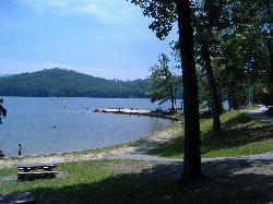
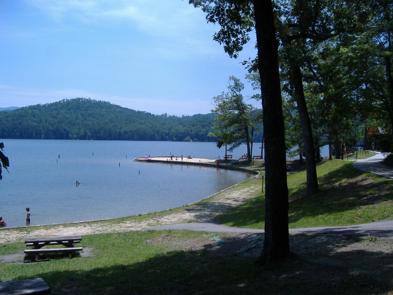
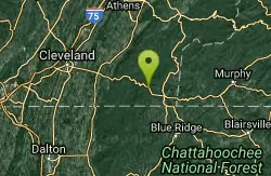
Mac Point Beach is a U.S. Forest Service day-use swim and picnic site on Parksville Lake, the 1,930-acre reservoir behind TVA's Ocoee Dam No. 1 that most people call Lake Ocoee. It sits in the Ocoee River recreation region of the Cherokee National Forest's Ocoee Ranger District in Polk County, Tennessee. The beach covers the tip of a small wooded point that pokes out from the north shore of the lake, with sand at the water's edge and shaded picnic tables and grills behind it. Reliance, the community Recreation.gov lists it under, is about 7 miles to the north-northeast as the crow flies.
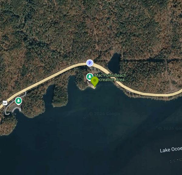
The site is right on US 64, the Ocoee Scenic Byway, which follows the lake's north shore for 5 or 6 miles between the dam and the Greasy Creek bridge near the TN 30 junction. The Forest Service directions start at the Ocoee Ranger Station: turn left onto US 64 and drive about 1.5 miles, and Mac Point Beach is on the right, on the lake side of the road. A small parking lot sits just above the point, and a short path leads down to the sand. Be careful pulling in and out, since this stretch of US 64 carries fast through traffic, including rafting traffic in summer. Ignore the latitude and longitude printed on the Forest Service page, which falls on the ridge well north of the lake.
Swimming is allowed only inside the designated swim area off the beach, and boats are kept out of it. There is no lifeguard, so you swim at your own risk. The beach itself is white sand, but the Forest Service posts no depth figures for the swim area, so treat it like any reservoir point with an unknown drop-off and keep weak swimmers close. The Forest Service lists the swim season as May 1 through September 30, with swimming areas open from 7 a.m. to 10 p.m. Alcohol is banned in the swim and picnic areas, and pets are not allowed on the beach or in the swim area.
This is not a free site. The day-use fee is $3 per vehicle per day, the South Zone daily rate for the Ocoee and Tellico districts. The $30 Cherokee National Forest annual pass covers Mac Point Beach along with Parksville Beach and the lake's boat launches. No reservations are taken; it is first come, first served.
Plan to bring your own water. The Mac Point listing says there is no potable water and no restroom at the site itself, even though its overview mentions restroom and changing facilities nearby, so do not count on them. Parksville Beach, about 3 miles west near the dam, is the other Forest Service swim beach on the lake and has a vault toilet and changing room. TVA controls the lake level, so the shoreline can look different from one visit to the next. Check the Cherokee National Forest alerts page before you go; the forest posts closures there.
Across the highway is a small fishing pond, and Parksville Campground is a short drive east off TN 30 if you want to stay overnight. The lake is popular with motorboats, and bald eagles are sometimes seen along the shore. Farther east along US 64, the Ocoee Whitewater Center and the commercial rafting runs on the Middle Ocoee make it easy to pair a swim here with a day on the river.
More Information
Cherokee National Forest | Alerts | Forest Service
Review the Alerts below to be aware of any fire restrictions, safety notices, and forest regulations that may impact your visit to Cherokee National Forest.&...
https://www.fs.usda.gov/r08/cherokee/alertsCherokee National Forest | Mac Point Beach | Forest Service
Bring a picnic and spend the day! A white sand beach and shady picnic area with tables and grills occupy a small peninsula jutting out into Lake Ocoee. Restroom/changing facilities are nearby. Across the highway is a fishing pond and camping is available just down the road at Parksville Campground.
https://www.fs.usda.gov/r08/cherokee/recreation/mac-point-beachCherokee National Forest | Ocoee River | Forest Service
A thrill a minute Class III-IV rapids make the Ocoee one of the best whitewater rivers in the south. With two distinct sections available for rafting/canoe/kayaking, you can spend anywhere from 3 hours to all day on the river. The Ocoee was home of the 1996 Olympic canoe and kayak slalom events and that venue can be visited at the Ocoee Whitewater Center. Outfitters provide rafting services on both the upper and lower sections.Ocoee River Water Release Schedules:Ocoee #3 - Upper River Section (Includes Ocoee Whitewater Center 1996 Olympic Course)Ocoee #2 - Middle River SectionAdditional information or release schedules for other locations can be found here: www.tva.com
https://www.fs.usda.gov/r08/cherokee/recreation/ocoee-riverCherokee National Forest | Parksville Beach | Forest Service
This popular swim area is surrounded by grassy areas with picnic tables and benches. Vault toilet and changing facilities available.
https://www.fs.usda.gov/r08/cherokee/recreation/parksville-beachCherokee National Forest | Parksville Lake | Forest Service
The oldest lake in the Cherokee National Forest was created by Tennessee Rural Electric Company in 1910-11. Sometimes known as Lake Ocoee, this lake is controlled by the Tennessee Valley Authority (TVA). Scenic views of the 1,930-acre lake are highlights along the Ocoee Scenic Byway. The lake is popular for motor-boating against the backdrop of forested rolling hills; two public boat launches are located along US 64. Swim and picnic at Mac Point and Parksville Beach. Just below the dam is Sugarloaf Park, operated by the state of Tennessee, where visitors can picnic and view a scale model of the Olympic canoe and kayak course. Scan the shoreline for the gleaming white heads of bald eagles. Camp nearby at Parksville Campground, just off US 64 on TN 30.
https://www.fs.usda.gov/r08/cherokee/recreation/parksville-lakeCherokee National Forest | Passes | Forest Service
No matter who you are or where you're going, take advantage of the type of pass that will work best for you. Here's a comprehensive overview of information about passes accepted across the Cherokee National Forest. You can get a good idea of what's available below.
https://www.fs.usda.gov/r08/cherokee/passesMac Point Beach - Recreation.gov
Explore Mac Point Beach, Tennessee with Recreation.gov. Bring a picnic and spend the day! A white sand beach and shady picnic area with tables and grills occupy a small peninsula jutting out into Lake Ocoee. Restroom
https://www.recreation.gov/camping/poi/10068760
- Plan Ahead and Prepare
- Travel & camp on durable surfaces
- Dispose of waste properly
- Leave what you find
- Minimize campfire impacts
- Respect wildlife
- Be considerate of other visitors
Directions
From Reliance
- Head west on Lyman Ave toward Main St (0.1 mi)
- Turn left onto SD-47 S (0.2 mi)
- Continue onto SD-248 (0.8 mi)
- Turn left to merge onto I-90 E toward SD-47 N (147 mi)
- Take exit 396A to merge onto I-29 S toward Sioux City (2.4 mi)
- Continue onto I-29 SEntering Iowa(185 mi)
- Keep left to continue on I-29, follow signs for Kansas CityEntering Missouri(127 mi)
- Keep left to continue on I-29 S (46.1 mi)
- Merge onto I-29 S/
I-35 S (4.4 mi) - Continue onto US-71 (0.2 mi)
- Merge onto I-70 E/
US-71 S (0.3 mi) - Slight left onto I-70 E/
US-24 E/ US-40 E (signs for St Louis) Continue to follow I-70 E(127 mi) - Slight right toward Interstate 70 Dr SE (0.1 mi)
- Merge onto Interstate 70 Dr SE (0.1 mi)
- Keep left (0.1 mi)
- Merge onto I-70 E (119 mi)
- Take the exit toward I-55 N/
I-64 E/ Illinois (0.2 mi) - Continue onto I-70 EEntering Illinois(2.6 mi)
- Take exit 3 for I-64 E toward Louisville (0.1 mi)
- Take the ramp onto I-64 E (71.1 mi)
- Merge onto I-57 S/
I-64 E (3.9 mi) - Slight right onto I-57 S (signs for Memphis) (47.3 mi)
- Take exit 44 for I-24 E toward Nashville (1.3 mi)
- Continue onto I-24 E (37.4 mi)
- Keep right to stay on I-24 EPassing through KentuckyEntering Tennessee(138 mi)
- Take exit 44A to merge onto I-24 E/
I-65 S toward Nashville (2.3 mi) - Keep left to continue on I-24 E, follow signs for I-40 E/
Chattanooga/ Knoxville (2.8 mi) - Take exit 50A for I-24 E toward I-40 E/
Knoxville/ Chattanooga (0.3 mi) - Continue onto I-24 E/
I-40 E (1.7 mi) - Take exit 213A for I-24 E toward Chattanooga (0.4 mi)
- Continue onto Exit 53 (signs for I-440/
Memphis) (0.4 mi) - Keep left to continue on I-24 E, follow signs for ChattanoogaPassing through GeorgiaEntering Tennessee(133 mi)
- Take exit 185B to merge onto I-75 N toward Knoxville (19.3 mi)
- Take exit 20 toward US-64BYP E/
Cleveland (0.3 mi) - Merge onto US-74 E (6.2 mi)
- Merge onto US-64 E/
US-74 E via the ramp to Ocoee (16.7 mi) - Turn right (72 ft)


Other Swimming Holes Nearby
Blue Hole Ocoee
Turtletown, Tennessee
7.8 miles SENumerous swimming holes 10-to-15 feet deep with tunnels to swim through, cliff jumping, and snorkeling in crystal-clear water — a great family adventure on the Ocoee.
Swim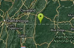
Conasauga Area
Soddy-Daisy, Tennessee
8.6 miles SSwim near Soddy-Daisy, Tennessee
Swim
Hiwassee
Benton, Tennessee
8.7 miles NSwim near Benton, Tennessee
Swim
Lake Conasauga Picnic and Swim Site
Chatsworth
17.8 miles SThe highest lake in Georgia, a 19 acre CCC-built lake at 3,150 feet on Grassy Mountain, with a designated swim area and dock on the shore opposite the campground. The campground is closed until further notice after a September 2026 water main break.
Camp, Canoe, Hike, Kayak, Swim 0.8 mi
Holly Creek Picnic Area
Chatsworth, Georgia
20.9 miles SA scenic North Georgia picnic and swimming spot with a shallow creek hole, easy rock jumps, and kayaking nearby.
Canoe, Kayak, Swim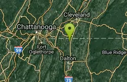
Farmers Lake
Cohutta, Georgia
23.1 miles SWSwim near Cohutta, Georgia
Swim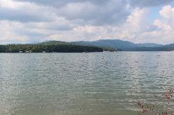
Morganton Point Recreation Area
Morganton, Georgia
25.4 miles SEForest Service swim beach, campground and boat ramp on a wooded point jutting into Lake Blue Ridge, two miles from the town of Morganton.
Camp, Canoe, Hike, Kayak, Swim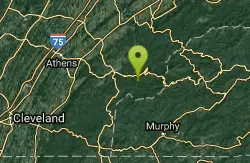
Baby Falls Area
Tellico Plains, Tennessee
27.6 miles NESwim near Tellico Plains, Tennessee
Swim
Baby Falls
Tellico Plains, Tennessee
27.6 miles NEA Tellico River waterfall and swimming hole that's beginner-friendly for kayakers, beautiful for hikers, and especially stunning in fall for picnics and photography.
Hike, Kayak, Swim, Whitewater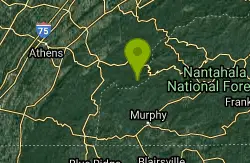
Davis Branch
Tellico Plains, Tennessee
30.0 miles NEA riverside campground on the Tellico River with six campsites, each with a picnic table — a peaceful Tennessee base camp for hiking, fishing, and campfire nights.
Camp, Hike, Swim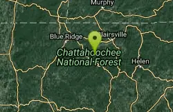
Chattahoochee National Park
Cave Spring, Georgia
36.4 miles SESwim near Cave Spring, Georgia
Swim
Chickamauga Creek
Soddy-Daisy, Tennessee
37.5 miles WMultiple swimming holes along a state natural area trail near Soddy-Daisy — including the local favorite 'Blue Hole' with cliffs, a rope swing, and 12-to-14-foot depths. The area closes at 7 p.m. and sees litter; pack a bag and carry some out.
Swim
Richland Creek
Dayton, Tennessee
37.7 miles NWSwim near Dayton, Tennessee
Swim
Fires Creek Area
Wake Forest, North Carolina
41.2 miles ESwim near Wake Forest, North Carolina
Swim
Cheoah Point Beach
Robbinsville
44.3 miles NEForest Service swim beach with a roped swim area on Santeetlah Lake, 6 miles north of Robbinsville, NC. Open April 15 to October 31 with a $5 per vehicle day-use fee.
Camp, Canoe, Hike, Kayak, Swim
Piney River Area
Rockwood, Tennessee
44.7 miles NTen miles of remote backcountry trail link several swimming holes along the wild Piney River — a true through-hike with very likely optional swimwear in the wilderness.
Swim
Vogle State Park
Blairsville, Georgia
44.8 miles SEA 233-acre park at the base of Blood Mountain in the Chattahoochee National Forest — one of Georgia's first state parks, founded in 1931.
Camp, Canoe, SwimNearby Campsites
Lake Conasauga Picnic and Swim Site
Chatsworth
17.8 miles SThe highest lake in Georgia, a 19 acre CCC-built lake at 3,150 feet on Grassy Mountain, with a designated swim area and dock on the shore opposite the campground. The campground is closed until further notice after a September 2026 water main break.
Camp, Canoe, Hike, Kayak, Swim
Morganton Point Recreation Area
Morganton, Georgia
25.4 miles SEForest Service swim beach, campground and boat ramp on a wooded point jutting into Lake Blue Ridge, two miles from the town of Morganton.
Camp, Canoe, Hike, Kayak, Swim
Davis Branch
Tellico Plains, Tennessee
30.0 miles NEA riverside campground on the Tellico River with six campsites, each with a picnic table — a peaceful Tennessee base camp for hiking, fishing, and campfire nights.
Camp, Hike, Swim
Cheoah Point Beach
Robbinsville
44.3 miles NEForest Service swim beach with a roped swim area on Santeetlah Lake, 6 miles north of Robbinsville, NC. Open April 15 to October 31 with a $5 per vehicle day-use fee.
Camp, Canoe, Hike, Kayak, Swim
Vogle State Park
Blairsville, Georgia
44.8 miles SEA 233-acre park at the base of Blood Mountain in the Chattahoochee National Forest — one of Georgia's first state parks, founded in 1931.
Camp, Canoe, Swim


