


Punderson State Park
Cleveland-Elyria-Mentor, OH, Ohio
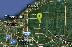
| GPS: |
41°27'25.2"N 81°12'46.8"W Maps | Directions |
| State: | Ohio |
Swim

- Plan Ahead and Prepare
- Travel & camp on durable surfaces
- Dispose of waste properly
- Leave what you find
- Minimize campfire impacts
- Respect wildlife
- Be considerate of other visitors
Directions
From Cleveland-Elyria-Mentor, OH, Ohio
- Head east on Cleveland St toward Hawthorne St (0.3 mi)
- Turn right onto OH-57 S/US-20 WContinue to follow OH-57 S(3.3 mi)
- Turn left to merge onto OH-10 E toward Cleveland (5.8 mi)
- Continue onto I-480 E (24.7 mi)
- Keep left at the fork to stay on I-480 E, follow signs for Interstate 271 N/U.S. 422 N/Erie Pa/Warren (1.5 mi)
- Take the exit on the left onto I-271 N/US-422 W toward Harvard/Chagrin (1.4 mi)
- Take exit 28B for Harvard Rd (0.4 mi)
- Turn right onto Harvard Rd (1.3 mi)
- Turn left onto Lander Rd (0.9 mi)
- At the traffic circle, take the 2nd exit onto Pinetree Rd (0.9 mi)
- Turn right onto OH-87 E/S Woodland RdContinue to follow OH-87 E(12.0 mi)
- Turn rightDestination will be on the right(0.5 mi)

Other Swimming Holes Nearby
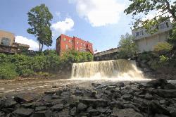
Chagrin Falls
Chagrin Falls, Ohio
9.3 miles WA natural waterfall tumbles right through the center of town in a riverside park where you can actually swim — a rare and charming small-city attraction year-round.
Swim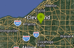
Quarry Rock Falls
Bentleyville
10.8 miles WA tiered shale cascade on the Aurora Branch of the Chagrin River at Quarry Rock in Cleveland Metroparks' South Chagrin Reservation, Bentleyville. Free entry, wading at your own risk, no lifeguards.
Hike, Swim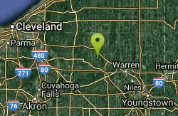
Nelson Ledges Quarry Park
Garrettsville, Ohio
13.3 miles SEA privately owned quarry park with strikingly blue-green water, a swimming beach, cliff jumping, and camping — see the website for current pricing and available events.
Swim
Villa Angela Beach
Cleveland
20.3 miles NWA free, lifeguarded 900-foot Lake Erie sand beach in Cleveland Metroparks' Euclid Creek Reservation on Cleveland's east side, beside Euclid Beach Park and the mouth of Euclid Creek.
Hike, Swim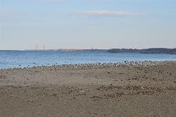
Fairport Harbor Lakefront Park
Fairport Harbor
21.1 miles NA 21-acre Lake Metroparks beach on Lake Erie at the mouth of the Grand River, with a marked swim area, summer lifeguards 11 am to 7 pm, daily E. coli testing and $2 to $3 gate parking.
Canoe, Kayak, Swim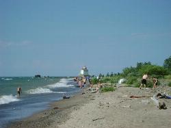
Headlands Beach State Park
Mentor, Ohio
21.3 miles NThe longest natural sand beach in Ohio, a mile of open Lake Erie shoreline east of Mentor with rare dune plants behind it and a lighthouse at the end of the breakwall.
Hike, Kayak, Swim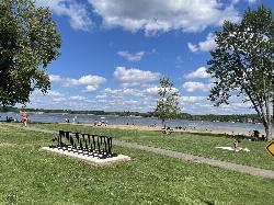
Craig Beach at Lake Milton State Park
Craig Beach, Ohio
26.1 miles SEA 600 foot public swim beach on the east shore of Lake Milton, in the village of Craig Beach, where an amusement park with a roller coaster stood a century ago.
Canoe, Hike, Kayak, Swim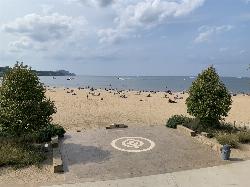
Edgewater Beach
Cleveland
27.3 miles WFree, lifeguarded Lake Erie swimming beach in Cleveland Metroparks' Edgewater Park, about 2.5 miles west of downtown Cleveland, with a 1,000-foot marked swim area and skyline views.
Hike, Kayak, Swim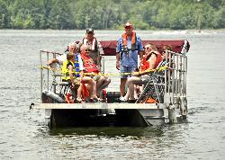
Mill Creek Day Use Area
Berlin Center
32.7 miles SFree Army Corps of Engineers picnic area on Berlin Lake near Berlin Center, Ohio, where swimming is allowed from the shoreline. There is no designated beach and no lifeguard.
Swim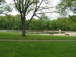
Wallace Lake Beach
Berea
34.2 miles WA free, lifeguarded summer swim beach on Wallace Lake, a flooded 1941 sandstone quarry in Cleveland Metroparks' Mill Stream Run Reservation, a short walk from downtown Berea.
Hike, Kayak, Swim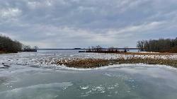
Pymatuning State Park Main Beach
Andover
36.4 miles EA free 500-foot sand beach on Pymatuning Reservoir just south of the Ohio 85 causeway near Andover, run by Ohio State Parks, with showers, a changing house and volleyball courts.
Camp, Hike, Swim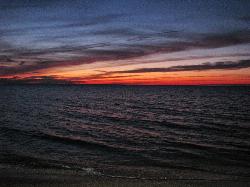
Walnut Beach Park
Ashtabula
37.2 miles NEA free city-run sand beach on Lake Erie at Ashtabula Harbor, with summer daytime lifeguards, a concession stand, playgrounds and a birding trail behind the dunes.
Hike, Swim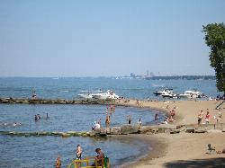
Huntington Beach
Bay Village
37.4 miles WGuarded Lake Erie swimming beach below the bluff in Cleveland Metroparks' Huntington Reservation in Bay Village, with sand pockets between stone breakwalls and free entry and parking.
Hike, Kayak, Swim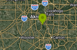
Turkeyfoot Beach
New Franklin
37.9 miles SWA free 900-foot sand beach on Turkeyfoot Lake at Portage Lakes State Park in New Franklin, south of Akron. No lifeguards, daylight swimming only, and boats share the lake.
Canoe, Hike, Kayak, Swim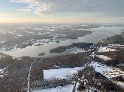
Jamestown Beach 2
Jamestown
38.7 miles ESmall, free public sand beach on the southwest shore of Pymatuning Reservoir in Pymatuning State Park, just south of the Jamestown Marina. Open late May through Labor Day, no lifeguards, and subject to occasional E. coli closures.
Camp, Canoe, Kayak, Swim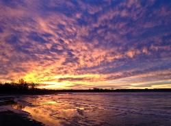
Chestnut Run Swim Beach
Transfer
40.3 miles EUnguarded sand beach on a quiet cove of Shenango River Lake, run by the Army Corps of Engineers off PA Route 846 near Transfer. No admission fee; restrooms open in summer.
Canoe, Kayak, Swim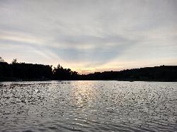
Guilford Lake State Park Beach
Lisbon, Ohio
48.4 miles SA 600 foot public beach on the northwest side of Guilford Lake, a 396 acre reservoir dug in 1834 to feed the Sandy and Beaver Canal.
Camp, Canoe, Hike, Kayak, Swim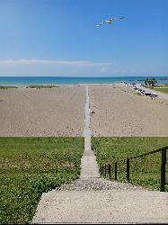
Conneaut Township Park
Conneaut
48.4 miles NEA free, unguarded quarter mile of Lake Erie sand below a wooded bluff at Ohio's northeast corner, run by a township park board and sampled weekly for bacteria all summer.
SwimNearby Campsites
Pymatuning State Park Main Beach
Andover
36.4 miles EA free 500-foot sand beach on Pymatuning Reservoir just south of the Ohio 85 causeway near Andover, run by Ohio State Parks, with showers, a changing house and volleyball courts.
Camp, Hike, Swim
Jamestown Beach 2
Jamestown
38.7 miles ESmall, free public sand beach on the southwest shore of Pymatuning Reservoir in Pymatuning State Park, just south of the Jamestown Marina. Open late May through Labor Day, no lifeguards, and subject to occasional E. coli closures.
Camp, Canoe, Kayak, Swim
Guilford Lake State Park Beach
Lisbon, Ohio
48.4 miles SA 600 foot public beach on the northwest side of Guilford Lake, a 396 acre reservoir dug in 1834 to feed the Sandy and Beaver Canal.
Camp, Canoe, Hike, Kayak, Swim


