


Pymatuning State Park Main Beach
Andover
Camp, Hike, and Swim
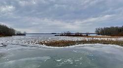
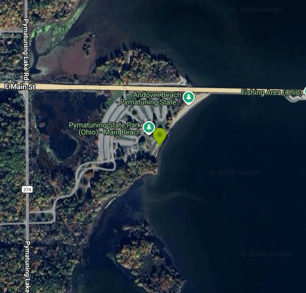
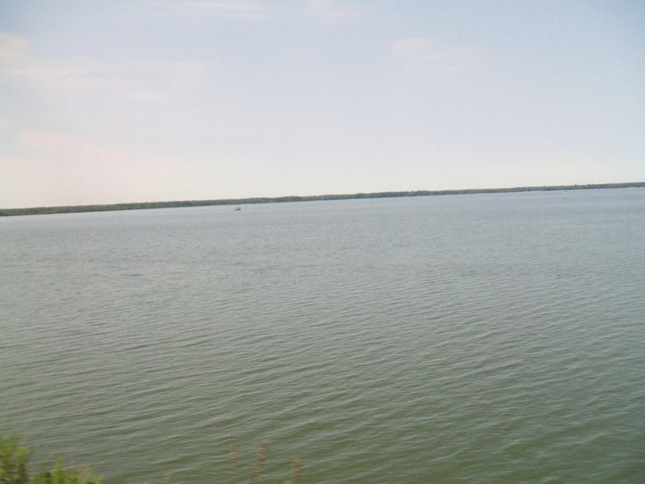
Main Beach is the largest of three swimming beaches at Ohio's Pymatuning State Park, one of two state parks by that name on Pymatuning Reservoir (Pennsylvania runs the other). The Ohio Department of Natural Resources, Division of Parks and Watercraft, runs it. The beach is a 500-foot strip of sand on the reservoir's west shore in Andover Township, Ashtabula County, just south of the long causeway that carries East Main Street (Ohio 85) across the lake toward Espyville, Pennsylvania. The reservoir itself dates to the early 1930s, when a dam was built on the Shenango River, and Ohio began developing its side of the park in 1950.
From the village square in Andover, drive east on East Main Street about two miles. Just before the road heads out onto the causeway, turn south on Pymatuning Lake Road and watch for the beach entrance on the lake side. Several paved lots sit behind the sand, so the walk from the car to the water is short. The main park office and a two-lane boat ramp are also along this stretch of Pymatuning Lake Road, which makes the area easy to find even on a first visit.
The swim area is a marked zone off the sand. Pymatuning is a broad, shallow reservoir (its average depth is around 15 feet), and the water near shore warms up quickly by midsummer. There is no current to speak of, but wind across the open lake can kick up chop in the afternoon. ODNR's park page does not list lifeguards for any of its beaches and asks visitors to use caution, so plan on watching your own group. Swimming is allowed only inside the designated area and only during daylight. Pets are not allowed on the beach. Behind the sand you'll find a changing house, showers, restrooms, two volleyball courts, a playground, horseshoe pits and picnic tables under shade trees.
There is no charge to use the beach. Ohio's state parks do not collect entrance or parking fees, so a day of swimming here costs nothing. The park is open from 6 a.m. to 11 p.m. daily. The one thing that does cost money nearby is the Main Beach Shelter, a 75 by 25 foot lakeside pavilion with 20 picnic tables and a large charcoal grill, which groups can reserve. It is open to everyone when it is not booked.
Water quality is the main thing to check before you go. The Ohio Department of Health samples this beach for E. coli during the swimming season and posts results on its BeachGuard system. Advisories have been posted here before, with bacteria at Main Beach at times measuring several times the state standard. Geese around the beaches are a known source of the bacteria on this lake. An advisory sign at the beach means children, older adults and anyone with a weakened immune system should stay out of the water. Look up the current BeachGuard status or call the park office at (440) 261-4551 if the weather has been hot and calm.
The rest of the Ohio side is set up for longer stays. A large campground and rental cabins sit a few miles south, each with its own smaller beach, and the Beaver Dam Trail starts near Cabin Beach. Boats on the reservoir are limited to 20 horsepower, a marina near the causeway rents boats, and the lake is known for walleye and muskie. Bald eagles nest around the shoreline.
More Information
Gov. DeWine designates June 1-7 as Ohio State Parks Week
Ohio State Parks Week is in conjunction with National Camping Month and National Great Outdoors Month.
https://spectrumnews1.com/oh/cleveland/news/2026/06/02/gov--mike-dewine-ohio-state-parks-weekOhio State Parks & Watercraft
Open every day and always free, Ohio’s state parks and waterways provide a refuge from the pace of modern life.
https://ohiodnr.gov/discover-and-learn/safety-conservation/about-odnr/division-parks-watercraftPymatuning State Park
On the Ohio-Pennsylvania border, Pymatuning State Park offers some of the finest walleye and muskellunge fishing in the country. The park offers cozy cabins and a large campground plus a variety of outdoor fun.
https://ohiodnr.gov/go-and-do/plan-a-visit/find-a-property/pymatuning-state-parkBe courteous, informed, and prepared. Read trailhead guidelines, stay on the trail, and don't feed the wildlife.
Read More
- Plan Ahead and Prepare
- Travel & camp on durable surfaces
- Dispose of waste properly
- Leave what you find
- Minimize campfire impacts
- Respect wildlife
- Be considerate of other visitors
Directions
From Andover
- Head northwest on N Main St (1.0 mi)
- Continue onto MA-28 N/
Union St (0.3 mi) - Merge onto I-495 S via the ramp on the left to I-93/
Lowell/ Marlboro (9.7 mi) - Continue straight to stay on I-495 S (signs for Marlboro) (24.6 mi)
- Take exit 65B to merge onto I-290 W toward Worcester (20.1 mi)
- Take exit 12A for I-90/
MA-12 N toward Massachusetts Turnpike/ Auburn (0.2 mi) - Take the ramp onto I-90 WToll roadEntering New York(108 mi)
- Continue onto NY-912M WToll road(6.6 mi)
- Take exit 22-61 to merge onto I-87 N toward I-90/
Albany/ Buffalo Toll road(14.2 mi) - Continue onto Governor Thomas E. Dewey Thruway/
NY State Thruway (1.2 mi) - Merge onto I-90 WToll roadPassing through PennsylvaniaEntering Ohio(395 mi)
- Take exit 241 for OH-7 toward Andover/
Conneaut (0.3 mi) - Turn left onto OH-7 S (20.5 mi)
- Turn left onto Fenkell Rd (1.5 mi)
- Turn right onto Pymatuning Lake Rd (1.0 mi)
- Turn left onto OH-85 E (0.2 mi)
- Turn right (220 ft)
- Turn right (0.1 mi)
- Turn left (364 ft)
Other Swimming Holes and Hiking Trails Nearby
Jamestown Beach 2
Jamestown
7.7 miles SESmall, free public sand beach on the southwest shore of Pymatuning Reservoir in Pymatuning State Park, just south of the Jamestown Marina. Open late May through Labor Day, no lifeguards, and subject to occasional E. coli closures.
Camp, Canoe, Kayak, Swim
Chestnut Run Swim Beach
Transfer
20.8 miles SUnguarded sand beach on a quiet cove of Shenango River Lake, run by the Army Corps of Engineers off PA Route 846 near Transfer. No admission fee; restrooms open in summer.
Canoe, Kayak, Swim
Walnut Beach Park
Ashtabula
24.8 miles NWA free city-run sand beach on Lake Erie at Ashtabula Harbor, with summer daytime lifeguards, a concession stand, playgrounds and a birding trail behind the dunes.
Hike, Swim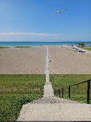
Conneaut Township Park
Conneaut
24.9 miles NA free, unguarded quarter mile of Lake Erie sand below a wooded bluff at Ohio's northeast corner, run by a township park board and sampled weekly for bacteria all summer.
Swim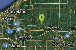
Nelson Ledges Quarry Park
Garrettsville, Ohio
32.6 miles SWA privately owned quarry park with strikingly blue-green water, a swimming beach, cliff jumping, and camping — see the website for current pricing and available events.
Swim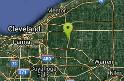
Punderson State Park
Cleveland-Elyria-Mentor, OH, Ohio
36.5 miles WSwim near Cleveland-Elyria-Mentor, OH, Ohio
Swim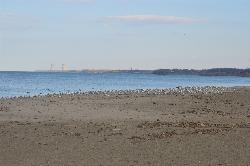
Fairport Harbor Lakefront Park
Fairport Harbor
39.5 miles WA 21-acre Lake Metroparks beach on Lake Erie at the mouth of the Grand River, with a marked swim area, summer lifeguards 11 am to 7 pm, daily E. coli testing and $2 to $3 gate parking.
Canoe, Kayak, Swim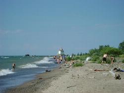
Headlands Beach State Park
Mentor, Ohio
40.2 miles WThe longest natural sand beach in Ohio, a mile of open Lake Erie shoreline east of Mentor with rare dune plants behind it and a lighthouse at the end of the breakwall.
Hike, Kayak, Swim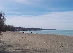
Presque Isle Beach 1
Erie
40.5 miles NEThe first beach inside Presque Isle State Park, a long stretch of Lake Erie sand near the park entrance with free, lifeguarded swimming in summer when staffing allows.
Hike, Swim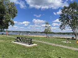
Craig Beach at Lake Milton State Park
Craig Beach, Ohio
40.6 miles SWA 600 foot public swim beach on the east shore of Lake Milton, in the village of Craig Beach, where an amusement park with a roller coaster stood a century ago.
Canoe, Hike, Kayak, Swim
Neshannock Creek Area
Mount Gretna, Pennsylvania
42.3 miles SSwim near Mount Gretna, Pennsylvania
Swim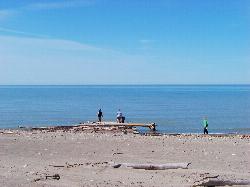
Presque Isle Beach 11
Erie
45.1 miles NEBeach 11 sits on the inside of Presque Isle's eastward bend, which makes it the most sheltered swimming beach on the peninsula. Shallow sand, a beach house, picnic tables and a playground, guarded from noon to 7:30 P.M. in summer, and no fee to get in.
Canoe, Hike, Kayak, Swim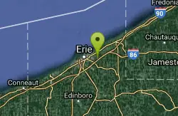
Wintergreen Gorge
Erie, Pennsylvania
45.7 miles NESwim near Erie, Pennsylvania
Swim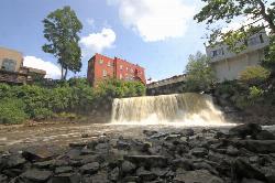
Chagrin Falls
Chagrin Falls, Ohio
45.8 miles WA natural waterfall tumbles right through the center of town in a riverside park where you can actually swim — a rare and charming small-city attraction year-round.
Swim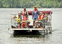
Mill Creek Day Use Area
Berlin Center
47.2 miles SWFree Army Corps of Engineers picnic area on Berlin Lake near Berlin Center, Ohio, where swimming is allowed from the shoreline. There is no designated beach and no lifeguard.
Swim
Quarry Rock Falls
Bentleyville
47.4 miles WA tiered shale cascade on the Aurora Branch of the Chagrin River at Quarry Rock in Cleveland Metroparks' South Chagrin Reservation, Bentleyville. Free entry, wading at your own risk, no lifeguards.
Hike, Swim
Lakeview Beach
Portersville
49.7 miles SELakeview Beach is the free, 656-foot sand swim beach on the North Shore of Lake Arthur in Moraine State Park near Portersville, open daily Memorial Day to Labor Day with no lifeguards.
Canoe, Hike, Kayak, Swim


