


Jamestown Beach 2
Jamestown
Camp, Canoe, Kayak, and Swim
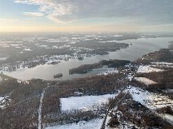
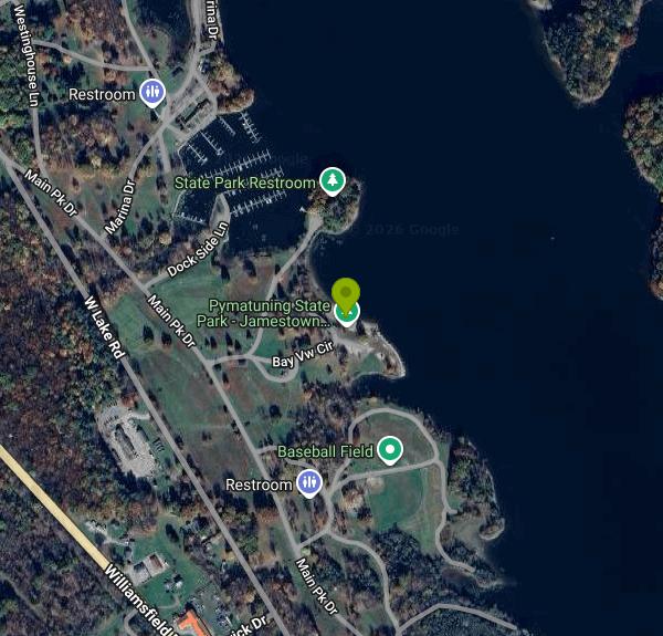
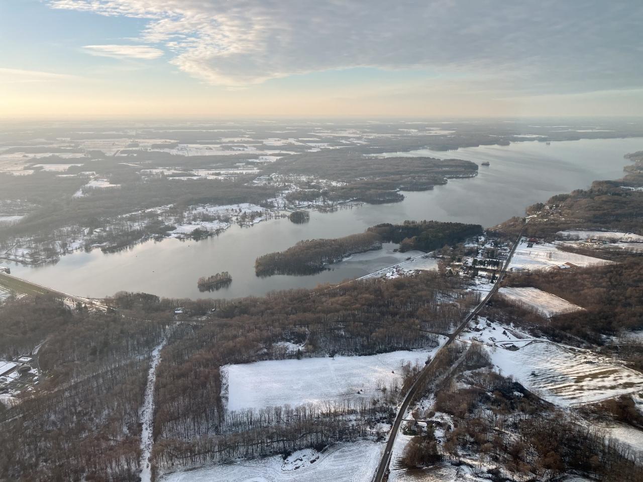
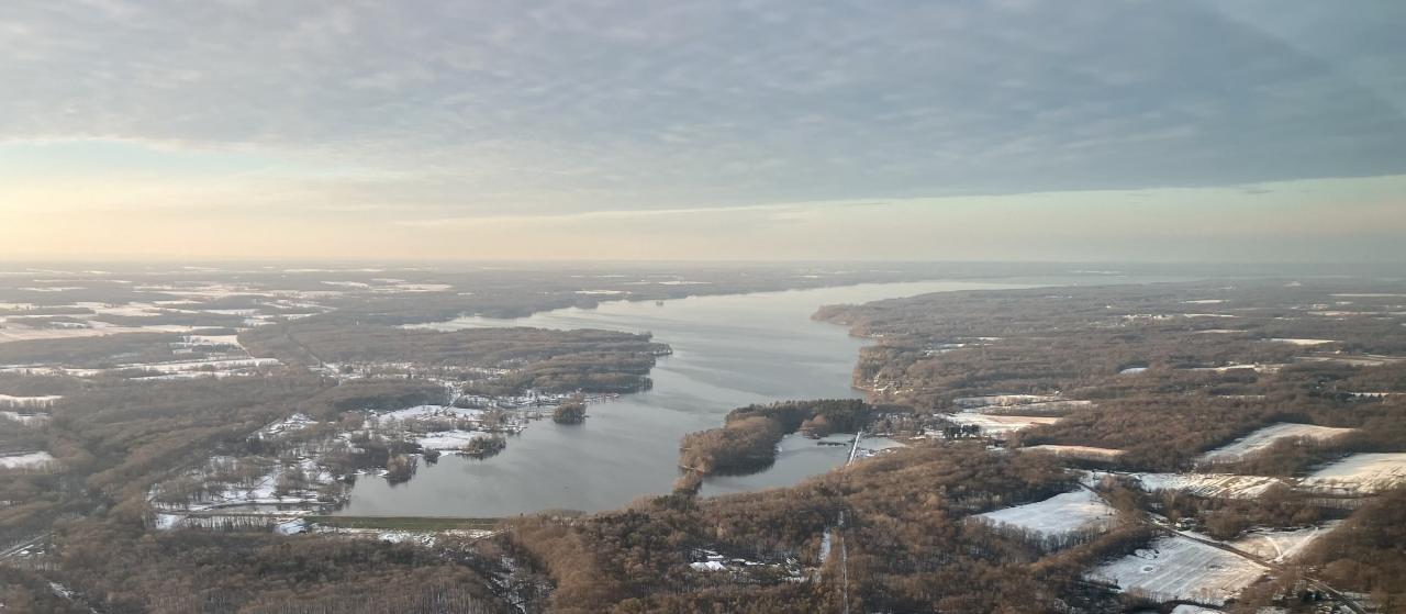
Jamestown Beach 2 is a public swimming beach in Pymatuning State Park, managed by the Pennsylvania Department of Conservation and Natural Resources (DCNR) on the southwest shore of Pymatuning Reservoir in Crawford County. DCNR's swimming page calls it Beach Two and lists it as one of three public beaches on the Pennsylvania side, along with Linesville Beach and Main Beach, plus a separate beach for guests of Jamestown Campground. The reservoir covers 17,088 acres, making it the largest lake in Pennsylvania, and it was created by an earthen dam finished in 1934 just north of Jamestown. Beach 2 sits roughly a kilometer north of that dam and a short walk south of the Jamestown Marina.
The south shore of the park, including the Jamestown day use areas, the marina, the campground and the park office, is reached from U.S. 322. Follow the park signs north from the Jamestown area toward the marina. A paved lot sits right behind the sand, with restrooms and a playground a few steps away and a ball field and picnic shelter just to the south. The park office is at 2660 Williamsfield Road, Jamestown (724-932-3142), and the borough of Jamestown is about 3 km to the southeast.
The beach itself is a short strip of sand facing north onto the open reservoir. Pymatuning is a shallow lake, about 15 feet deep on average and 35 feet at its deepest, so it warms up quickly once summer settles in. There is no current, but a steady wind across the open water can kick up chop. No lifeguards are posted. DCNR's rule is simply that you swim at your own risk and follow the posted rules. Motorboats up to 20 horsepower are allowed on the lake and boats come and go from the marina just to the north, so keep swimmers close to shore.
There is no charge to swim. Pennsylvania state parks have no entrance fee, and DCNR lists no beach fee here. The beaches open the weekend before Memorial Day and close after Labor Day, weather and conditions permitting. The park is open sunrise to sunset every day, and day use areas close at dusk. Smoking, including e-cigarettes, is banned on the beach and in the water, with designated smoking spots set aside next to the beaches.
Water quality is the main thing to check before you go. In August 2023 the park superintendent closed Beach 2 for elevated E. coli and blamed a mix of recent rain and heavy goose droppings, while Linesville Beach was shut the same week for a harmful algal bloom. In summer 2025 Beach 2 closed three separate times for high E. coli before reopening. For the current status, check the park's Facebook page or call the office before you drive out. Skipping a swim for a day or two after a heavy rain is a sensible habit here.
The Jamestown side of the park has plenty to fill a day. The marina rents boats, there is an accessible hand-carry kayak launch on Dockside Lane in the Jamestown Day Use Area, and the same area has accessible fishing access. Jamestown Campground and the modern cabins are close by for overnight stays. Farther north, the Pennsylvania Fish and Boat Commission runs a fish hatchery and visitor center, and the Pennsylvania Game Commission manages wildlife viewing areas around the lake.
More Information

- Plan Ahead and Prepare
- Travel & camp on durable surfaces
- Dispose of waste properly
- Leave what you find
- Minimize campfire impacts
- Respect wildlife
- Be considerate of other visitors
Directions
From Jamestown
- Head west on Moonlight Pt toward Pilgrims Cir (0.4 mi)
- Turn right onto Pelegs Way (0.4 mi)
- Turn right onto Neck-O-Land Rd (0.8 mi)
- Slight right onto VA-31 N/
Jamestown Rd Pass by 7-Eleven (on the right in 1.5 mi)(1.5 mi) - Turn left onto VA-199 W/
Humelsine Pkwy W (8.0 mi) - Continue straight onto Newman Rd (0.2 mi)
- Merge onto I-64 W via the ramp to Richmond (32.9 mi)
- Take exit 200 to merge onto I-295 N (13.7 mi)
- Take exit 43A to merge onto I-95 N toward Washington (60.1 mi)
- Continue onto I-95 N (25.6 mi)
- Continue straight onto I-395 N (signs for Washington/
I-495 N/ Tysons Corner) (0.7 mi) - Take exit 170B to merge onto I-495 N toward Tysons Corner (8.1 mi)
- Keep left to continue on 495 Express Lanes/
Capital Beltway Inner Lp/ Interstate 495 High Occupancy Toll Toll road(0.8 mi) - 495 Express Lanes/
Capital Beltway Inner Lp/ Interstate 495 High Occupancy Toll turns left and becomes I-495 N/ Capital Beltway Inner Lp Entering Maryland(9.5 mi) - Slight left onto I-270 N (31.4 mi)
- Take exit 32 to merge onto I-70 W toward HagerstownEntering Pennsylvania(76.7 mi)
- Take the US-30 E exit toward I-70 W/
Harrisburg/ McConnellsburg/ New Stanton/ Pennsylvania Turnpike (312 ft) - Turn right onto US-30 E/
S Main St (0.2 mi) - Turn right onto the I-70 ramp to Harrisburg/
New Stanton/ I-76 Toll road(397 ft) - Continue onto I-70 WToll road(1.5 mi)
- Take the exit onto I-70 W/
I-76 W toward Pittsburgh Continue to follow I-76 WToll road(133 mi) - Take exit 28 to merge onto I-79 N toward Erie (35.8 mi)
- Take exit 113 for PA-258 N (0.3 mi)
- Turn left onto PA-208 W/
PA-258 N (0.2 mi) - Slight right onto Garrett Dr (404 ft)
- Turn right onto PA-258 N (7.3 mi)
- Continue onto Pitt St/
Pittsburgh St (262 ft) - Turn left onto N Diamond St (0.1 mi)
- Turn right onto N Erie St (0.2 mi)
- Turn left onto PA-58 W/
Greenville Ave Continue to follow PA-58 WPass by Dollar General (on the right in 0.2 mi)(14.7 mi) - Turn right onto Main St (0.2 mi)
- Turn left onto PA-18 N/
PA-58 W/ College Ave (0.5 mi) - Turn left onto PA-58 W/
College Ave Continue to follow PA-58 W(6.4 mi) - Continue onto US-322 W/
Gibson St Continue to follow US-322 W(1.6 mi) - Turn right onto Main Pk Dr (0.6 mi)
- Turn right onto Bay Vw CirDestination will be on the right(0.2 mi)



Other Swimming Holes, Canoeing Areas, and Kayaking Areas Nearby
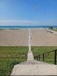
Conneaut Township Park
Conneaut
32.1 miles NA free, unguarded quarter mile of Lake Erie sand below a wooded bluff at Ohio's northeast corner, run by a township park board and sampled weekly for bacteria all summer.
Swim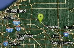
Nelson Ledges Quarry Park
Garrettsville, Ohio
32.1 miles SWA privately owned quarry park with strikingly blue-green water, a swimming beach, cliff jumping, and camping — see the website for current pricing and available events.
Swim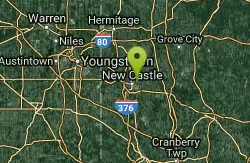
Neshannock Creek Area
Mount Gretna, Pennsylvania
34.7 miles SSwim near Mount Gretna, Pennsylvania
Swim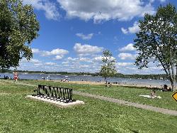
Craig Beach at Lake Milton State Park
Craig Beach, Ohio
37.5 miles SWA 600 foot public swim beach on the east shore of Lake Milton, in the village of Craig Beach, where an amusement park with a roller coaster stood a century ago.
Canoe, Hike, Kayak, Swim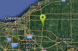
Punderson State Park
Cleveland-Elyria-Mentor, OH, Ohio
38.7 miles WSwim near Cleveland-Elyria-Mentor, OH, Ohio
Swim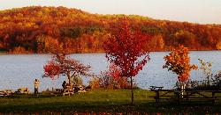
Lakeview Beach
Portersville
42.0 miles SELakeview Beach is the free, 656-foot sand swim beach on the North Shore of Lake Arthur in Moraine State Park near Portersville, open daily Memorial Day to Labor Day with no lifeguards.
Canoe, Hike, Kayak, Swim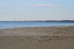
Fairport Harbor Lakefront Park
Fairport Harbor
45.1 miles NWA 21-acre Lake Metroparks beach on Lake Erie at the mouth of the Grand River, with a marked swim area, summer lifeguards 11 am to 7 pm, daily E. coli testing and $2 to $3 gate parking.
Canoe, Kayak, Swim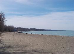
Presque Isle Beach 1
Erie
45.3 miles NThe first beach inside Presque Isle State Park, a long stretch of Lake Erie sand near the park entrance with free, lifeguarded swimming in summer when staffing allows.
Hike, Swim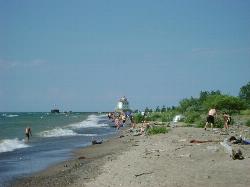
Headlands Beach State Park
Mentor, Ohio
45.8 miles NWThe longest natural sand beach in Ohio, a mile of open Lake Erie shoreline east of Mentor with rare dune plants behind it and a lighthouse at the end of the breakwall.
Hike, Kayak, Swim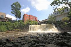
Chagrin Falls
Chagrin Falls, Ohio
48.0 miles WA natural waterfall tumbles right through the center of town in a riverside park where you can actually swim — a rare and charming small-city attraction year-round.
Swim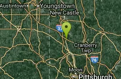
Buttermilk Falls Homewood
Beaver Falls, Pennsylvania
48.4 miles SSwim near Beaver Falls, Pennsylvania
Swim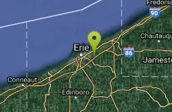
Wintergreen Gorge
Erie, Pennsylvania
49.5 miles NESwim near Erie, Pennsylvania
Swim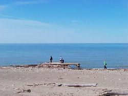
Presque Isle Beach 11
Erie
49.6 miles NEBeach 11 sits on the inside of Presque Isle's eastward bend, which makes it the most sheltered swimming beach on the peninsula. Shallow sand, a beach house, picnic tables and a playground, guarded from noon to 7:30 P.M. in summer, and no fee to get in.
Canoe, Hike, Kayak, Swim


