


Sutter National Wildlife Refuge
Meridian, California
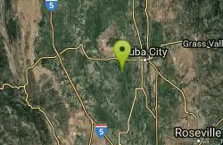
| GPS: |
39°5'3.4"N 121°45'27.7"W Maps | Directions |
| State: | California |
Hike
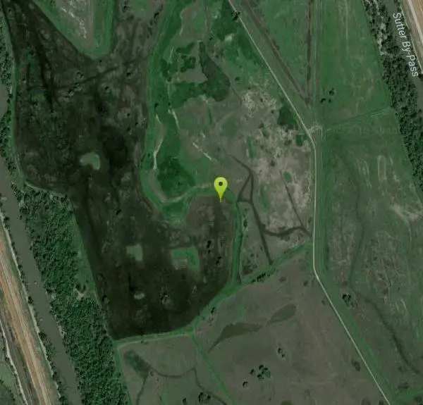
Sutter National Wildlife Refuge, the southern-most refuge in the Sacramento Refuge Complex, is located in the Sacramento Valley of California, about 50 miles north of the metropolitan area of Sacramento. The refuge consists of about 2,600 acres, consisting primarily of wetland impoundments with some riparian and grassland habitat.
More Information
Sutter National Wildlife Refuge | U.S. Fish & Wildlife Service
Sutter National Wildlife Refuge is part of the SACRAMENTO NWR COMPLEX. Sutter NWR is located about 50 miles north of the metropolitan area of Sacramento, and offers limited wildlife viewing, hunting, and seasonal trails.
https://www.fws.gov/refuge/sutterBe courteous, informed, and prepared. Read trailhead guidelines, stay on the trail, and don't feed the wildlife.
Read More
- Plan Ahead and Prepare
- Travel & camp on durable surfaces
- Dispose of waste properly
- Leave what you find
- Minimize campfire impacts
- Respect wildlife
- Be considerate of other visitors
Directions
From Meridian, California
- Head east on Central St toward 4th St (377 ft)
- Turn left at the 1st cross street onto 4th St (0.2 mi)
- Turn right at the 2nd cross street onto State Hwy 20 E (3.6 mi)
- Turn right onto S Tarke Rd (2.8 mi)
- Turn left onto Moroni Rd (0.5 mi)
- Continue onto McGarth Rd (1.7 mi)
- Merge onto Progress Rd (2.3 mi)
- Turn left onto Oswald Rd (2.4 mi)
- Keep left (0.8 mi)
From Yuba City, travel south on Highway 99E approximately 6 miles to Oswald Road. Turn west and proceed 5.5 miles to Schlag Road. Travel north on Schlag Road for about 1/8 of a mile, turn west onto Hughes Road, which bisects the refuge.
Other Hiking Trails Nearby
Colusa National Wildlife Refuge
Colusa, California
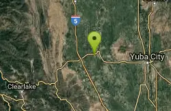
17.0 miles NWA 4,507-acre wildlife refuge in California's Sacramento Valley that regularly hosts more than 200,000 wintering ducks and 50,000 geese — one of North America's premier waterfowl destinations.
Hike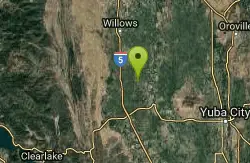
Delevan National Wildlife Refuge
Colusa, California
24.1 miles NWA 5,797-acre national wildlife refuge in California's Sacramento Valley with over 4,500 acres of managed wetlands — a major bird habitat 80 miles north of Sacramento.
Hike
Sacramento National Wildlife Refuge
Willows, California
33.1 miles NWPart of a multi-refuge complex in California's Sacramento Valley, this national wildlife refuge offers protected habitat and wildlife viewing in a rich wetland landscape.
Hike
The Gravel Pits
Willows, California
38.3 miles NWA scenic float on the Sacramento River between Redding and Red Bluff with mostly moving class-I water, occasional eddy lines, a few class-II rapids, and fast downstream travel.
Canoe, Hike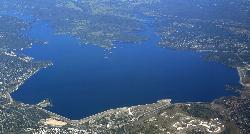
Granite Bay Main Beach
Granite Bay, California
40.0 miles SEThe largest sand beach on Folsom Lake, guarded in summer, twenty five minutes from downtown Sacramento at the end of Douglas Boulevard.
Canoe, Hike, Kayak, Swim 1.2-2.7 mi
Lake Clementine Trail Loop
Auburn, California
40.5 miles EFour connected trails loop around Lake Clementine on the North Fork American River — wheelchair accessible, pet friendly, and great for fishing, camping, and family summer outings.
Camp, Canoe, Hike, Kayak, Mountain Bike, Swim
American River Confluence
Auburn, California
40.6 miles EThe Confluence — where the North and Middle Forks of the American River meet below Foresthill Bridge — is Auburn's favorite swimming and rafting hub.
Hike, Horseback, Kayak, Rock Climb, Swim, Whitewater 5.6 mi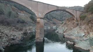
Quarry Trail
Cool, California
41.1 miles EA riverside hike along an old limestone railway line to a dramatic amphitheater quarry — wildflowers peak April through June, and the historic railway story (scrap metal for WWII) adds a fascinating layer.
Hike
Blue Gum Grove
Willows, California
42.4 miles NWA 10-acre nature park in Seal Beach with native shrubs, mature Eucalyptus trees, wildlife, and spring and summer wildflowers — a quiet green escape between two neighborhoods.
Hike 0.1 mi
Edwards Crossing
Nevada City, California
44.7 miles EDeep blue water, rock cliffs, and a sandy beach on the Yuba River — with a half-mile walk from the parking lot and cliff jumping spots up to 20 feet deep.
Hike, Swim
Bidwell Park
Chico, California
47.1 miles NOne of the largest municipal parks in the United States at nearly 3,670 acres, stretching almost 11 miles through the heart of Chico along Big Chico Creek.
Hike, Horseback, Mountain Bike, Swim


