


Map of 227 Things to do near Victor, Idaho
first prev 3 4 5 6 7 8 9 10 11 12 next lastShowing results within 50 miles Distance miles of Victor, ID 83455, USA City, Zip, or Address
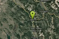
Alpine Campground
Alpine, Wyoming
28.3 miles SLocated two miles west of Alpine, Wyoming. Campground is situated in lodgepole pine trees, on flat terrain, and subject to wind and summer thunderstorms. Area is located near the south end of...
Camp
Herbert Idaho Ghost Town
Ririe, Idaho
28.3 miles WCLOSED. Private property marked NO TRESPASSING. Herbert is a small ghost town that was operated until the 40s, but with the invention of the automobile, it was much more convenient to live in Rexburg...
Hike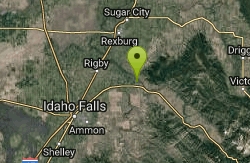
Big Feeder
Ririe, Idaho
29.2 miles WKayak near Ririe, Idaho
Kayak
On the banks by Heise
Ririe, Idaho
29.6 miles WOn the banks of the river near Heise. Plenty of trees and ground cover.
Airsoft, Paintball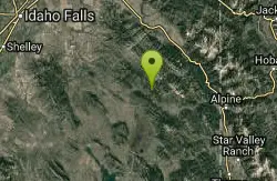
South Fork Bear Creek Trail
Wayan, Idaho
29.7 miles SWOHV trail. source: fs.usda.gov
Mountain Bike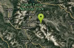
Blue Miner Lake
Jackson, Wyoming
29.9 miles EBackpack and Hike near Jackson, Wyoming
Backpack, Hike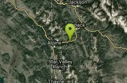
Taco/ Burrito
Alpine, Wyoming
30.4 miles SEOver 13,000 CFS the King wave comes in. This wave is awesome. You can throw all wave tricks on this one and it also allows for a great start to your session if you decide to put in at Fall Creek...
Kayak 0.3-0.6 mi
Cress Creek Nature Trail
Rexburg, Idaho
30.6 miles WMeandering along the scenic South Fork of the Snake River, the beautiful 1¼ mile Cress Creek Nature Trail will lead you on a journey through sagebrush-grass communities, over juniper covered...
Hike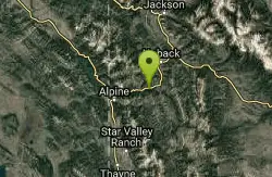
Winter Wave
Alpine, Wyoming
30.6 miles SEThe King's Wave Kayak Access is simply a highway turnout parking area with a trail leading down to the kayak surf wave called King's Wave. This area is very popular at different times of...
Kayak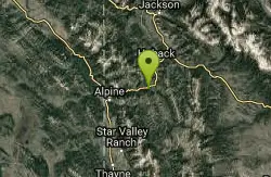
Hoback
Jackson, Wyoming
31.1 miles SETwelve miles south of Jackson you will find the Hoback River which is one of the more accessible rivers in the Jackson Hole, Yellowstone region. Highway 191 parallels it the river most of the...
Whitewater
Blacktail Day Use Area
Ririe, Idaho
31.5 miles WOn the North end of Ririe Reservoir there is a great little park with cliff jumping and even rock climbing. There is a trail from the south end of the parking lot down along the cliffs. There are...
Dive, Rock Climb, Swim 0.8 mi
Conant Creek Pegram Truss Railroad Bridge
Ashton, Idaho
32.0 miles NWAs part of the Rails to Trails project, this old railroad bridge has been transformed into a very safe little viewing experience for the whole family. You can drive right up to the bridge where there...
Hike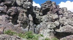
Basalt Bluff / Steve's Rock
Teton, Idaho
32.1 miles NWDon't go anywhere marked No Trespassing and Beware of the Attack Bees at the top of the cliffs and the Stinging Nettle at the bottom. About a mile north of Loon Lake/Wentworth Springs Road...
Rock Climb

Falls River, Lower Run
Ashton, Idaho
32.8 miles NFall River rises on the Madison and Pitchstone plateaus in the southwest corner of Yellowstone National Park, Wyoming and flows approximately 64 miles (103 km) to its confluence with the Henrys Fork...
Whitewater
Sheep Falls on Fall River
Ashton, Idaho
33.0 miles NThe lesser known Sheep Falls on Fall River is a local treasure off of Cave Falls road. There are primitive campsites and beautiful views for a great picnic spot. The water splits and comes down in...
Camp
Twin Bridges Park
Rexburg, Idaho
33.0 miles WTwin Bridges is a campground 12 miles South East of Rexburg on S. 600 E. It is maintained by Madison County Parks Department. It is a 27 acre park of pristine land rich with wildlife on the Snake...
Camp, Canoe
Ririe River Island (AKA Twin Bridges)
Rexburg, Idaho
33.1 miles WGo into the campground WHERE PAINTBALLING IS NOT ALLOWED. Park there and cross the creek on the North side of the park. You'll have to cross the river using the rocks that are there so not too...
Airsoft, Paintball
Blacktail Lake / Ririe Reservoir
Idaho Falls, Idaho
33.4 miles WCanoe and Swim near Idaho Falls, Idaho
Canoe, Swim
Hog Hollow Bridge
Saint Anthony, Idaho
33.7 miles NWLess than 1/2 a mile down the road from the Monkey Rock waterfall, Hog Hollow Bridge is a favorite spot for adrenaline junkies to cool off. The place to jump is off the East side of the bridge where...
Dive, Swim
Monkey Rock
Saint Anthony, Idaho
33.9 miles NWCLOSED. PSA: Monkey Rock is no longer open to the public. The owner has posted "No Trespassing" signs and is asking the Fremont County Sheriff's Office to assist with keeping people out of their...
Swim


