


Upper Calf Creek Falls
Boulder, Utah
| Address: | UT-12, Boulder, UT 84716, USA |
| GPS: |
37°51'34.1"N 111°26'15.7"W Maps | Directions |
| State: | Utah |
Waterfalls Streams
Hike and Swim
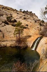
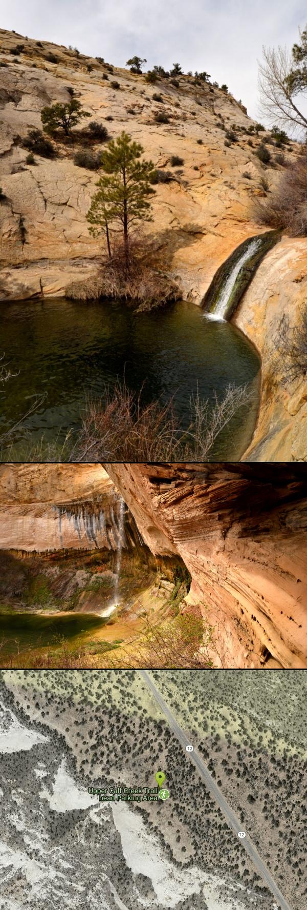
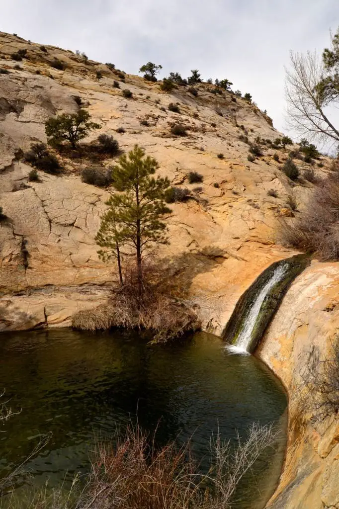
Upper Calf Creek Falls is a stunning desert oasis hidden in the slickrock country of Grand Staircase-Escalante National Monument, between Escalante and Boulder, Utah. An 87-foot waterfall pours over a sandstone cliff into clear pools below — a startling burst of green and falling water amid the vast red-rock wilderness, and a wonderful place to cool off after the hike in.
The trail is short but strenuous: about 2.4 miles round trip, descending across open Navajo sandstone slickrock with far-reaching desert views before dropping to the base of the falls (cairns mark the way across the rock). At the bottom you'll find a large pool often deep enough for a refreshing swim, plus more swimming holes a short distance up a side fork of the trail — pure magic on a hot southern Utah day.
A few practical notes: the climb back out is exposed and can be brutally hot, so carry far more water than you think you'll need, wear sun protection and sturdy shoes with good grip for the slickrock, and avoid the midday heat in summer. The unmarked trailhead is on a short spur road off Scenic Byway 12, roughly 20 miles north of Escalante (about 7 miles southwest of Boulder), between mile markers 80 and 81.
Spring and fall offer the most comfortable temperatures, though the falls and pools are inviting through the warm season (March to November). Watch the sky for summer monsoon storms, pack out everything you bring in, and tread lightly on the fragile desert and cryptobiotic soil. For a relatively quick hike to a true desert waterfall and swimming hole, Upper Calf Creek Falls is one of the Escalante area's finest.
More Information
Be courteous, informed, and prepared. Read trailhead guidelines, stay on the trail, and don't feed the wildlife.
Read More
- Plan Ahead and Prepare
- Travel & camp on durable surfaces
- Dispose of waste properly
- Leave what you find
- Minimize campfire impacts
- Respect wildlife
- Be considerate of other visitors
Directions
From Boulder, Utah
- Head east toward UT-12 W (354 ft)
- Turn right onto UT-12 WDestination will be on the right(6.9 mi)

Other Swimming Holes and Hiking Trails Nearby
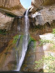
Lower Calf Creek Falls
Boulder, Utah
4.7 miles SA stunning 126-foot waterfall at the end of an easy 6-mile canyon hike rewards with a cool swimming pool framed by cottonwood trees and ancient petroglyphs.
Hike, Swim
Calf Creek Campground
Boulder, Utah
4.7 miles SCalf Creek Campground is a small desert oasis in the heart of the Grand Staircase-Escalante National Monument, a shady, creekside campground tucked into a red-rock canyon about 15 miles east of the...
Camp, Dive, Swim 12.1 mi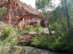
Escalante River
Escalante, Utah
9.8 miles SWThe Escalante River is the wild green thread running through the heart of the Grand Staircase-Escalante National Monument, and hiking it is one of the signature experiences of southern Utah's...
Hike, Horseback
Neon Canyon and Golden Cathedral
Escalante, Utah
22.0 miles SEDeep in lower Neon Canyon, three pothole arches carved into the overhang form the Golden Cathedral — when the midday sun shines through, golden light columns illuminate the domed pour-off below.
Backpack, Canyoneer, Hike 3.7 mi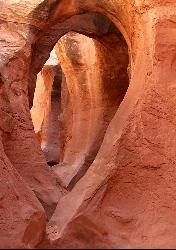
Peek-a-boo Gulch
Escalante, Utah
29.0 miles SEA fun slot canyon hike in Grand Staircase-Escalante with named rock formations you can see straight through — often hiked as a 3.5-mile loop with neighboring Spooky Gulch.
Hike 4.9 mi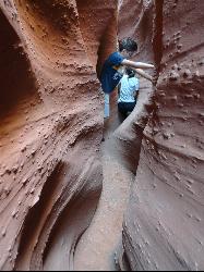
Spooky Gulch
Escalante, Utah
29.0 miles SEA short slot canyon hike near Escalante with sections so narrow they're genuinely 'spooky' — sandy trails, stagnant water pools, and flash flood awareness required.
Hike
Capitol Reef
Torrey, Utah
32.0 miles NESwim near Torrey, Utah
Swim
Capitol Reef Fremont Falls
Torrey, Utah
33.2 miles NEA manmade waterfall created in 1962 when the Fremont River was rerouted for a highway — now inside Capitol Reef National Park, this historically popular swim spot has evolved as the water carved deep into the sandstone.
Swim 20.4 mi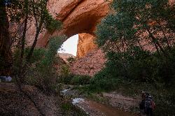
Coyote Gulch
Escalante, Utah
38.7 miles SEA remote 26-mile backpacker's slot canyon near Escalante with a flowing river, natural arches including Coyote Natural Arch and Jacob Hamblin Arch, and nights under the stars.
Backpack, Canyoneer, Hike 0.1-0.3 mi
Mossy Cave
Tropic, Utah
39.4 miles WAn easy mile-long trail past red rock hoodoos, a mossy cave with a summer waterfall and winter icicle curtain, and a charming stream to wade through in water shoes.
Hike 7.6 mi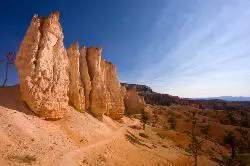
Fairyland Loop Trail
Bryce, Utah
41.4 miles WAn 8-mile loop descending 900 feet into Bryce Canyon's red and white hoodoos, connecting back along Rim Trail at Sunrise Point — with a 200-yard detour to the Tower Bridge rock formation.
Hike
Mueller Park
Caineville, Utah
42.4 miles NEThe Mueller Park trail in Mill Creek Canyon offers a great lower-altitude alpine mountain bike ride — 7-mile out-and-back to Big Rock or a 13-mile loop option.
Hike, Mountain Bike 0.5-5.4 mi
Rim Trail
Bryce, Utah
42.8 miles WA 5.5-mile Bryce Canyon rim hike connecting every major viewpoint above the Hoodoos, from Fairyland Point to Bryce Point — partially paved and wheelchair accessible at the midpoint.
Hike 2.3 mi
Queens Garden Trail
Bryce, Utah
42.8 miles WA descent through hoodoos and tunnels in Bryce Canyon's main amphitheater starting at Sunrise Point — well-kept dirt trail with benches, detour to a Queen Victoria rock formation, and a forest ecosystem below.
Hike 1.8 mi
Tower Bridge
Bryce, Utah
43.0 miles WA moderately difficult 3-mile round trip from Sunrise Point past classic Bryce Canyon hoodoos to a dramatic rock formation resembling London Bridge — less crowded the further you go.
Hike 1.2 mi
Navajo Trail
Bryce, Utah
43.1 miles WA short but winding 1.5-mile loop descending into Bryce Canyon's amphitheater, where towering hoodoos, Thor's Hammer, Twin Bridges, Wall Street, and 750-year-old Douglas Firs surround you.
Hike 1.6 mi
Hat Shop
Bryce, Utah
43.1 miles SWA moderately difficult 4-mile out-and-back hike to Bryce Canyon's Hat Shop — balancing gray boulders on slender red stilts, plus Pink Cliffs and far-off mountain views.
Hike 3.1 mi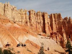
Peek-a-boo Loop
Bryce, Utah
43.1 miles SWA strenuous 5-mile hike through quiet canyon trails with up-close hoodoo views, a shaded respite at the loop's bottom, and sweeping views of the Bryce Amphitheater.
Hike
Lake Powell Area
Midway, Utah
45.5 miles SESwim near Midway, Utah
Swim 4.1 mi
Swamp Canyon Overlook and Trail
Bryce, Utah
46.5 miles SWA lesser-explored loop trail through Bryce Canyon's pink and red cliffs and forested Ponderosa Pines, descending and ascending 800 feet in a peaceful counter-clockwise circuit.
HikeNearby Campsites
Calf Creek Campground
Boulder, Utah
4.7 miles SCalf Creek Campground is a small desert oasis in the heart of the Grand Staircase-Escalante National Monument, a shady, creekside campground tucked into a red-rock canyon about 15 miles east of the...
Camp, Dive, Swim
North Campground
Bryce, Utah
42.8 miles WOne of Bryce Canyon's main campgrounds, with 99 RV and tent sites, restrooms with flush toilets, picnic tables, fire grates, and a nearby summer General Store with showers and laundry.
Camp
Sunset Campground
Bryce, Utah
43.5 miles WA spacious first-come, first-served campground inside Bryce Canyon with 101 sites across three loops, fire grates, drinking water, and flushing restrooms — no hookups.
Camp


