


Peek-a-boo Loop
Bryce, Utah
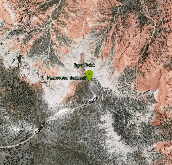
| Address: | Peek-A-Boo Trailhead, Bryce Point, Bryce, UT 84764, USA |
| GPS: |
37°36'15.7"N 112°9'25.3"W Maps | Directions |
| State: | Utah |
| Trails/Routes: | 3.1 mi |
National Park
Hike
Peek-a-boo Loop Trail is one of the more strenuous hikes available in Bryce Canyon. The unique challenge this loop provides has beautiful views that are well worth the hike. This three-mile loop can be accessed using a clearly marked trail from Bryce Point. This trail can be found on the North side of the Bryce Point parking lot.
The decent from Bryce Point to Peek-a-boo Loop Trail is rapid, making this trail more difficult than most in the park. The trail is about 2 miles, making the entire hike about 5 miles.
There are no restrooms or water stations along the trail, however the bottom of the loop is shaded with green trees, giving a wonderful respite from the heat of the sun.
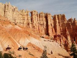
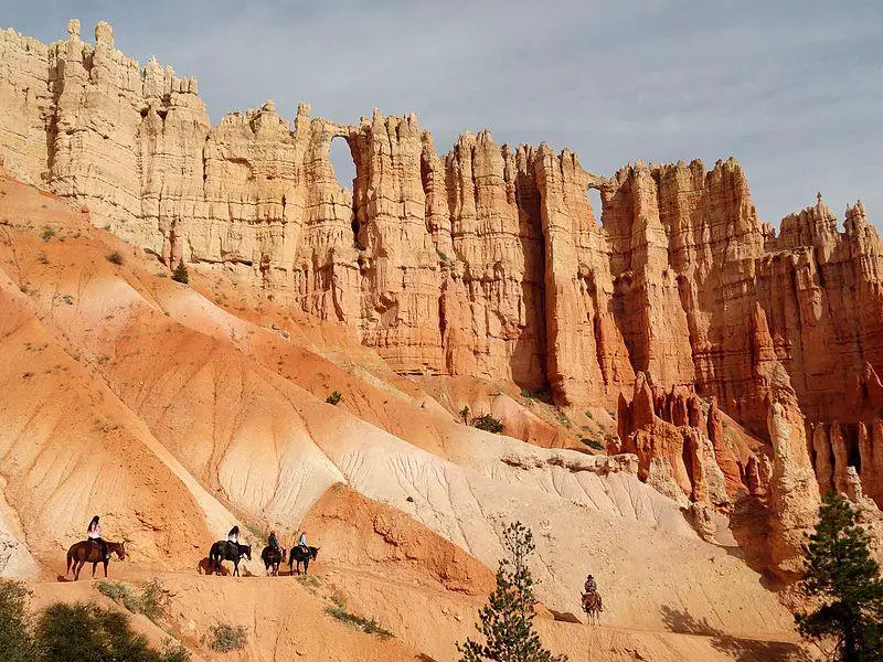
From Peek-a-boo Loop Trail hikers have a wonderful view of the Bryce Amphitheater. Throughout the loop you can see several incredible rock formations, Hoodoos, both up close and in the distance.
Because Peek-a-boo Loop is a distance from any popular trailhead in Bryce it is one of the quietest hikes available, with very little traffic from other hikers. Hikers on the trail may run into mules and horses, as this is the only hiking trail open to riders. Horse and mule rides can be scheduled through Bryce Canyon Park Services.
Peek-a-boo Loop is the perfect trail for hikers looking for a challenging, quiet and scenic hike.
More Information
Bryce Canyon National Park Itinerary
This Bryce Canyon National Park Itinerary will help you get started as you plan your vacation to Bryce Canyon National Park.
https://www.justgotravelstudios.com/collections/national-park-itineraries/products/bryce-canyon-national-park-itinerary?ref=9zpxis0diinPeekaboo Trail, Bryce Canyon National Park, Utah
Peekaboo is a varied, 3 mile loop trail through some of the best formations in Bryce Canyon, accessed by connecting paths from Bryce Point, Sunrise Point or Sunset Point
https://www.americansouthwest.net/utah/bryce_canyon/peekaboo-trail.htmlBe courteous, informed, and prepared. Read trailhead guidelines, stay on the trail, and don't feed the wildlife.
Read More
- Plan Ahead and Prepare
- Travel & camp on durable surfaces
- Dispose of waste properly
- Leave what you find
- Minimize campfire impacts
- Respect wildlife
- Be considerate of other visitors
Directions
From Bryce, Utah
- Head southwest toward UT-63 (0.3 mi)
- Turn left onto UT-63 (0.7 mi)
- Turn left onto Bryce Point Rd (1.9 mi)
- Turn leftDestination will be on the left(302 ft)

Other Hiking Trails Nearby

Hat Shop
Bryce, Utah
0.0 miles EA moderately difficult 4-mile out-and-back hike to Bryce Canyon's Hat Shop — balancing gray boulders on slender red stilts, plus Pink Cliffs and far-off mountain views.
Hike 1.2 mi
Navajo Trail
Bryce, Utah
1.4 miles NA short but winding 1.5-mile loop descending into Bryce Canyon's amphitheater, where towering hoodoos, Thor's Hammer, Twin Bridges, Wall Street, and 750-year-old Douglas Firs surround you.
Hike 0.5-5.4 mi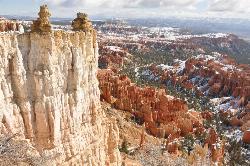
Rim Trail
Bryce, Utah
1.7 miles NA 5.5-mile Bryce Canyon rim hike connecting every major viewpoint above the Hoodoos, from Fairyland Point to Bryce Point — partially paved and wheelchair accessible at the midpoint.
Hike 1.8 mi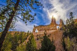
Tower Bridge
Bryce, Utah
1.7 miles NA moderately difficult 3-mile round trip from Sunrise Point past classic Bryce Canyon hoodoos to a dramatic rock formation resembling London Bridge — less crowded the further you go.
Hike 2.3 mi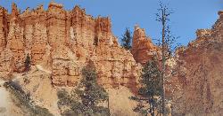
Queens Garden Trail
Bryce, Utah
1.7 miles NA descent through hoodoos and tunnels in Bryce Canyon's main amphitheater starting at Sunrise Point — well-kept dirt trail with benches, detour to a Queen Victoria rock formation, and a forest ecosystem below.
Hike 7.6 mi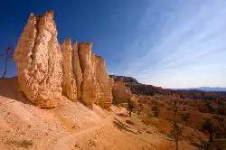
Fairyland Loop Trail
Bryce, Utah
3.1 miles NAn 8-mile loop descending 900 feet into Bryce Canyon's red and white hoodoos, connecting back along Rim Trail at Sunrise Point — with a 200-yard detour to the Tower Bridge rock formation.
Hike 4.1 mi
Swamp Canyon Overlook and Trail
Bryce, Utah
3.3 miles WA lesser-explored loop trail through Bryce Canyon's pink and red cliffs and forested Ponderosa Pines, descending and ascending 800 feet in a peaceful counter-clockwise circuit.
Hike 0.1-0.3 mi
Mossy Cave
Tropic, Utah
4.7 miles NEAn easy mile-long trail past red rock hoodoos, a mossy cave with a summer waterfall and winter icicle curtain, and a charming stream to wade through in water shoes.
Hike 1.0 mi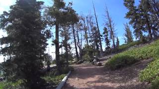
Bristlecone Loop
Kanab, Utah
10.0 miles SWA 1-mile loop from Rainbow Point — the highest spot in Bryce Canyon — past 1,800-year-old Bristlecone pines, cliff-top views, and wildlife including woodpeckers, owls, and chipmunks.
Hike 8.2 mi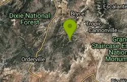
Riggs Spring Loop Trail
Kanab, Utah
10.1 miles SWOne of Bryce Canyon's least-traveled trails — an 8-mile loop descending 2,248 feet through ponderosa pines and Pink Cliffs views near Rainbow Point, strenuous but serenely off the beaten path.
Hike 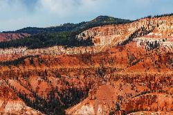
Dixie National Forest
Cedar City, Utah
28.6 miles WOver 2 million acres of red rock canyons, forests, Duck Creek, and a ski resort span Dixie National Forest — with elevations from 2,800 to 11,322 feet and year-round recreation including skiing, snowmobiling, and hiking.
Backpack, Camp, Hike 
Montezuma Mines
Kanab, Utah
28.9 miles SMontezuma Mines is one of southern Utah's most intriguing underground adventures — a network of hand-dug tunnels and sandstone caves carved into a hillside in Johnson Canyon, east of Kanab,...
Cave, Hike 12.1 mi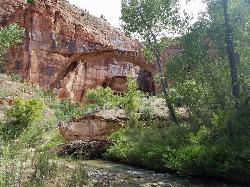
Escalante River
Escalante, Utah
33.6 miles EThe Escalante River is the wild green thread running through the heart of the Grand Staircase-Escalante National Monument, and hiking it is one of the signature experiences of southern Utah's...
Hike, Horseback 1.1 mi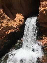
Cascade Falls
Cedar City, Utah
33.7 miles WA 1.2-mile family-friendly round-trip hike through sandstone stairs and red-cliff scenery to a waterfall fed by underground tubes from Navajo Lake — with sweeping views of Cedar Valley and Zion.
Hike 7.4 mi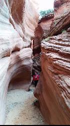
Red Slot Canyon AKA Peek-a-boo
Kanab, Utah
38.6 miles SWA short but fun slot canyon — very sandy road in, so a 4WD vehicle or ATV is essential — with plenty of ATV and horse trails in the area around this red sandstone slot near Kanab.
Hike 0.8 mi
Moqui Caverns
Kanab, Utah
40.4 miles SWRare sandstone erosion caves with fluorescent rocks, ancient Anasazi and Navajo ruins, hieroglyphs, and dinosaur tracks — all on a short 0.9-mile hike just 5.5 miles north of Kanab.
Cave, Hike 5.7 mi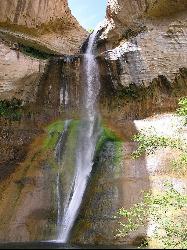
Lower Calf Creek Falls
Boulder, Utah
42.6 miles EA stunning 126-foot waterfall at the end of an easy 6-mile canyon hike rewards with a cool swimming pool framed by cottonwood trees and ancient petroglyphs.
Hike, Swim 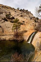
Upper Calf Creek Falls
Boulder, Utah
43.0 miles NEUpper Calf Creek Falls is a stunning desert oasis hidden in the slickrock country of Grand Staircase-Escalante National Monument, between Escalante and Boulder, Utah. An 87-foot waterfall pours over...
Hike, Swim 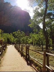
Riverside Walk
Springdale, Utah
48.6 miles SWA flat, paved riverside walk through Zion's desert swamp oasis, with hanging gardens on the cliffs and the option to continue into The Narrows — check flood conditions first.
Hike 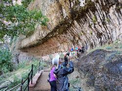
Weeping Rock
Springdale, Utah
48.8 miles SWA short but steep 0.4-mile hike in Zion to a natural alcove where water seeps through sandstone, feeding lush hanging gardens of maidenhair ferns — with views of the Great White Throne.
HikeNearby Campsites

Sunset Campground
Bryce, Utah
1.5 miles NWA spacious first-come, first-served campground inside Bryce Canyon with 101 sites across three loops, fire grates, drinking water, and flushing restrooms — no hookups.
Camp 
North Campground
Bryce, Utah
2.2 miles NOne of Bryce Canyon's main campgrounds, with 99 RV and tent sites, restrooms with flush toilets, picnic tables, fire grates, and a nearby summer General Store with showers and laundry.
Camp
Dixie National Forest
Cedar City, Utah
28.6 miles WOver 2 million acres of red rock canyons, forests, Duck Creek, and a ski resort span Dixie National Forest — with elevations from 2,800 to 11,322 feet and year-round recreation including skiing, snowmobiling, and hiking.
Backpack, Camp, Hike 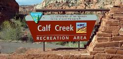
Calf Creek Campground
Boulder, Utah
42.6 miles ECalf Creek Campground is a small desert oasis in the heart of the Grand Staircase-Escalante National Monument, a shady, creekside campground tucked into a red-rock canyon about 15 miles east of the...
Camp, Dive, Swim


