


Beltzville State Park Beach
Lehighton
Canoe, Hike, Kayak, and Swim
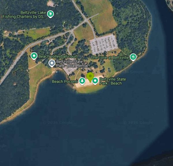
Beltzville State Park Beach is a 525 foot strip of sand on the north shore of Beltzville Lake, five miles east of Lehighton in Carbon County, off U.S. Route 209. It sits at the bottom of the day use area below Parking Lots A and B, with the Pine Run arm of the lake curling in just east of it, and it is the only sanctioned swimming spot on a 949 acre reservoir with roughly 20 miles of shoreline. On a hot Saturday in July it fills.
The water is reservoir water, not spring water. It warms well by late June and stays warm into early September, and it carries the green tint and limited visibility that go with an impoundment on a Pennsylvania creek. Entry is gentle. A paved ramp runs from the parking lot across the sand and continues into the water, which makes this one of the few state park beaches you can get a beach wheelchair or a stroller into without a fight. The graded sand runs out a short way before it gives over to the lake bed of silt and gravel. Swimming is confined to the buoy line, and past the buoys the bottom drops off into a boating lake with a 45 mph limit, so the rope is a real boundary.
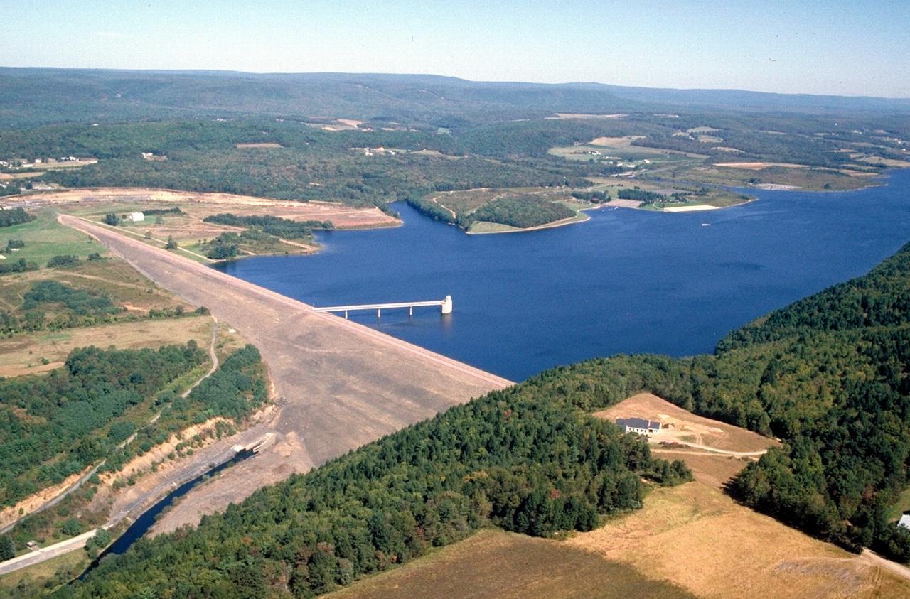
None of this existed before 1971. The Army Corps of Engineers closed Beltzville Dam across the Pohopoco Creek valley on September 17 of that year, an embankment 4,300 feet long standing 170 feet above the old creek bed, one of five flood control structures built for the Lehigh and Delaware basins. The village of Big Creek Valley was vacated in 1966 to make room for the pool, and the park opened in 1972. The Corps still owns the dam; DCNR runs what sits on top of it.
There are no lifeguards. Beltzville runs under the DCNR open swim policy, meaning you swim at your own risk with park staff patrolling rather than guarding. Only Presque Isle and Fuller Lake still keep guards. The beach is open late May through Labor Day, 8 a.m. to sunset, and the surrounding day use area runs 8 a.m. to 8 p.m. in that stretch and 8 a.m. to dusk the rest of the year. A bathhouse with showers stands near the sand, and a food concession works daily through the summer when the weather holds. Smoking is banned on the beach and in the swimming area, and dogs are not allowed in the swimming area at all. Entry costs nothing, since Pennsylvania charges no admission or day use fee at any of its state parks.
The thing worth checking before you drive out is the bacteria posting. Beltzville has been closed to swimming repeatedly in recent seasons on elevated bacteria samples, with resident geese usually named as the cause, and DCNR has to resample before it reopens. Those closures have landed in late May and in midsummer both. Drought years also pull the pool down and widen the flat in front of the sand. The park office is 610-377-0045.
When the beach is shut or crowded, the rest of the park absorbs it. Fifteen miles of trail leave from the same lots, including the one mile Falls Trail loop up to Wild Creek Falls and the two mile Sawmill Loop past a grist mill raceway, several small dams and a slate quarry worked in the 18th and 19th centuries. Pine Run East and Preachers Camp both launch boats, Preachers Camp has an accessible kayak launch, and a seasonal concession rents kayaks, paddleboards and paddleboats.
More Information
Beltzville Lake Beach closed, again, due to high bacteria levels
Beltzville Lake Beach is, again, closed following bacteria tests of the water.
https://www.wfmz.com/news/area/poconos-coal/beltzville-lake-beach-closed-again-due-to-high-bacteria-levels/article_988bc0c2-e38b-5376-9ab9-19acc595b160.htmlBeltzville Lake | Recreation.gov
Reserve camping, permits & activities at Beltzville Lake. Book official reservations on Recreation.gov.
https://www.recreation.gov/camping/gateways/194Beltzville State Park - Wikipedia
From Wikipedia, the free encyclopedia
https://en.wikipedia.org/wiki/Beltzville_State_ParkNational Weather Service
NOAA National Weather Service
https://forecast.weather.gov/MapClick.php?lat=40.8593&lon=-75.6258Be courteous, informed, and prepared. Read trailhead guidelines, stay on the trail, and don't feed the wildlife.
Read More
- Plan Ahead and Prepare
- Travel & camp on durable surfaces
- Dispose of waste properly
- Leave what you find
- Minimize campfire impacts
- Respect wildlife
- Be considerate of other visitors
Directions
From Lehighton
- Head south on S 4th St toward S Maple Alley (0.2 mi)
- Turn left onto Iron St (0.3 mi)
- Turn right onto S 1st St (138 ft)
- S 1st St turns slightly left and becomes Bankway St (0.2 mi)
- Continue onto E Bridge St (0.5 mi)
- Continue onto US-209 N/
Interchange Rd (1.8 mi) - Turn left onto Harrity Rd (499 ft)
- Turn right onto Pohopoco Dr (3.0 mi)
- Turn right (0.2 mi)
- Turn right (371 ft)
- Turn left (0.2 mi)
 Beltzville Dam and Beltzville Lake on Pohopoco Creek, looking across the Army Corps flood control em courtesy of Anthony Bley, U.S. Army Corps of Engineers↗ (Public domain↗)
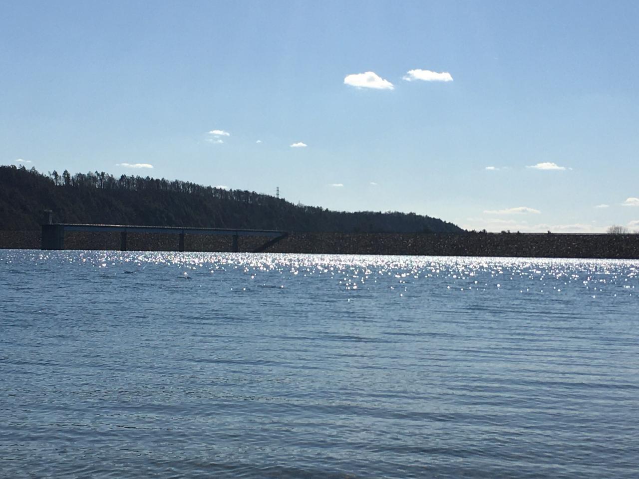
 Beltzville Lake from the shoreline inside the state park. courtesy of JohnDziak↗ (CC0↗)
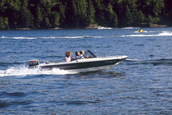
 A boat out on Beltzville Lake, photographed by the Pennsylvania Bureau of State Parks.
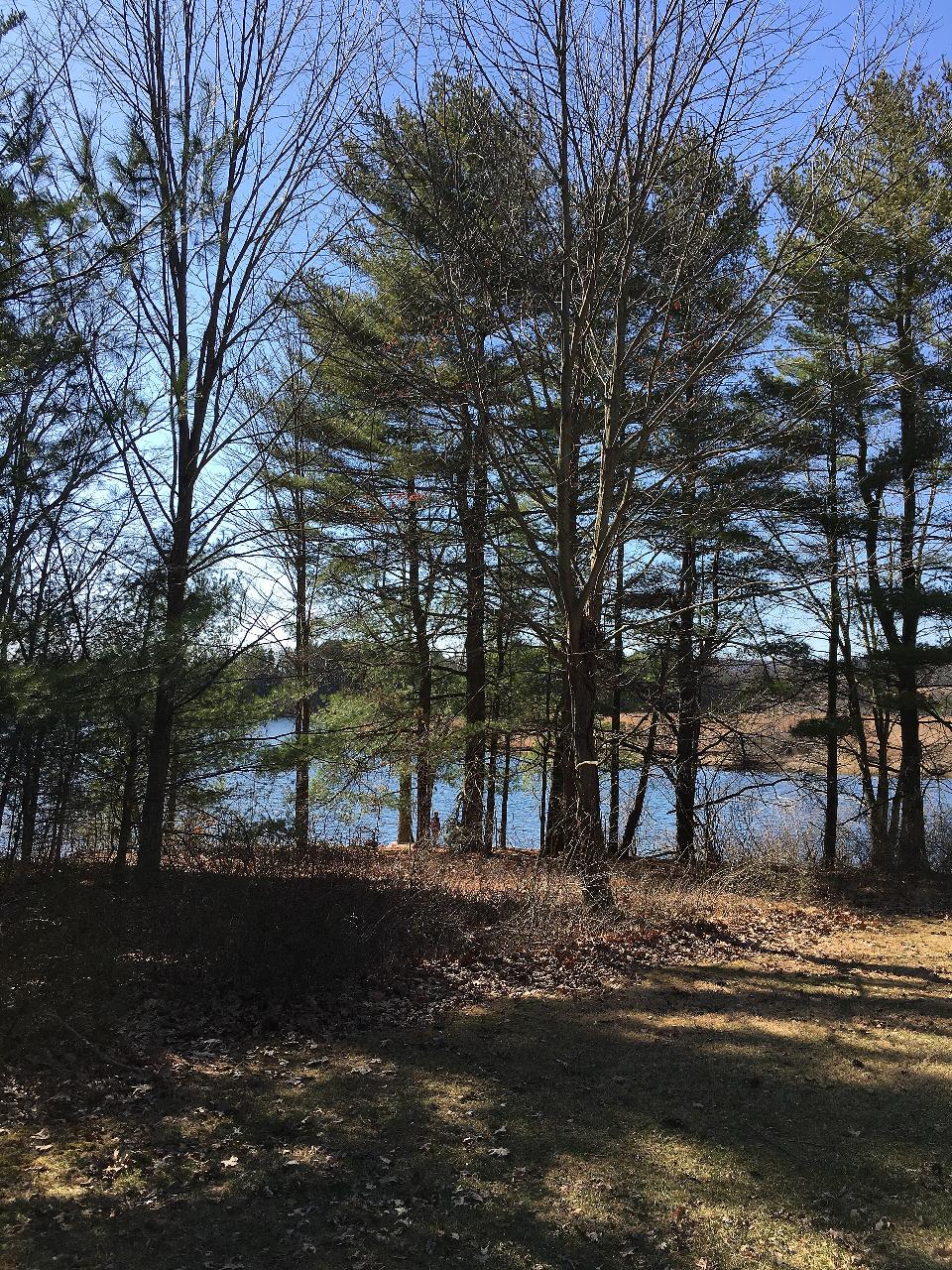
 Trees along the Beltzville Lake shoreline on a bright March afternoon. courtesy of JohnDziak↗ (CC BY-SA 4.0↗)
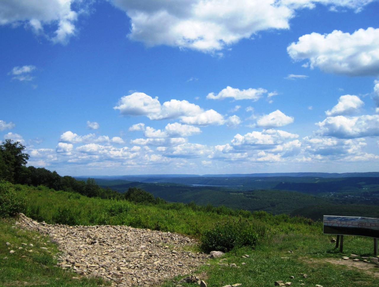
 Beltzville Lake seen from the 100 Mile View Overlook above Jim Thorpe, with Wind Gap beyond it. courtesy of Mr. Matté (if there is an issue with this image, contact me using this image's Commons talk page, my↗ (CC BY-SA 4.0↗)
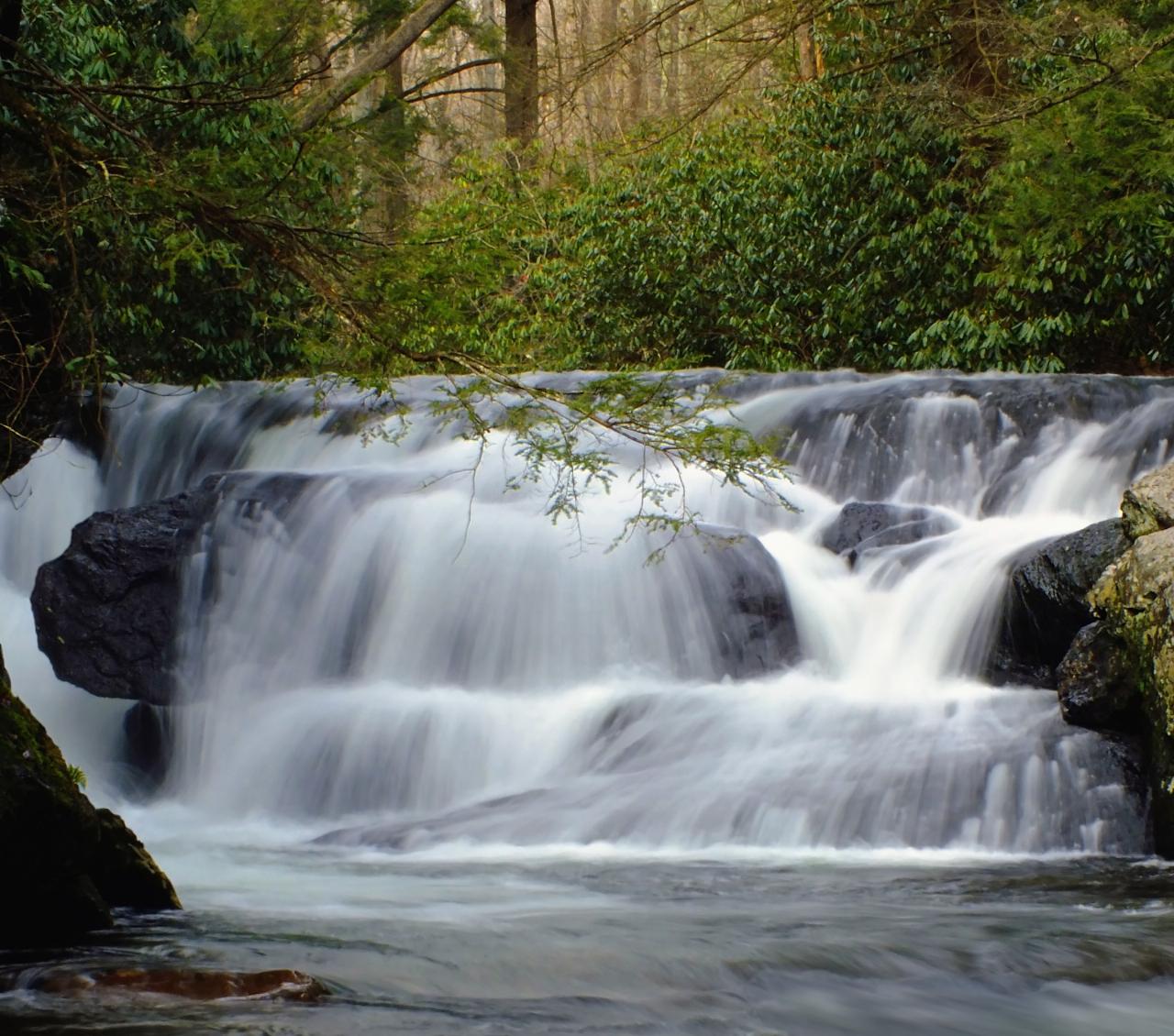
 Wild Creek Falls, reached by the one mile Falls Trail loop in Beltzville State Park.
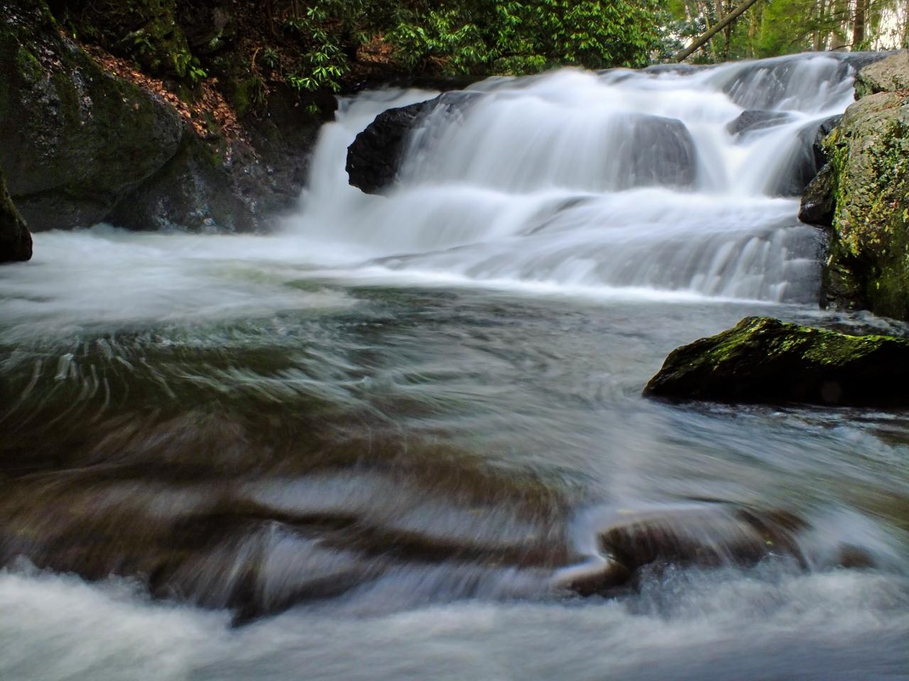 Cascades on Wild Creek above Beltzville Lake. courtesy of Nicholas↗ (CC BY 2.0↗)
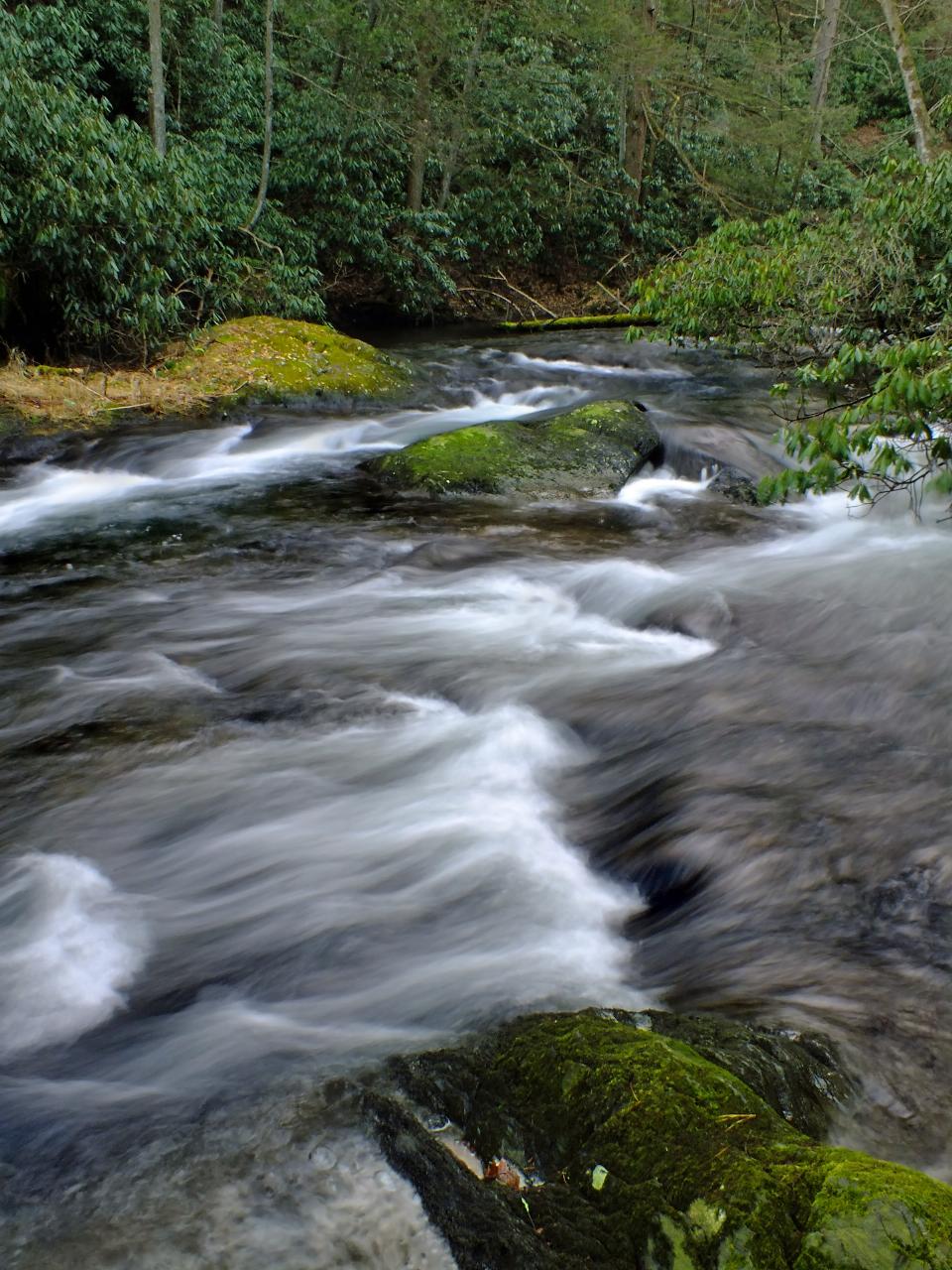
 Wild Creek running down toward Beltzville Lake through Carbon County. courtesy of Nicholas↗ (CC BY 2.0↗)
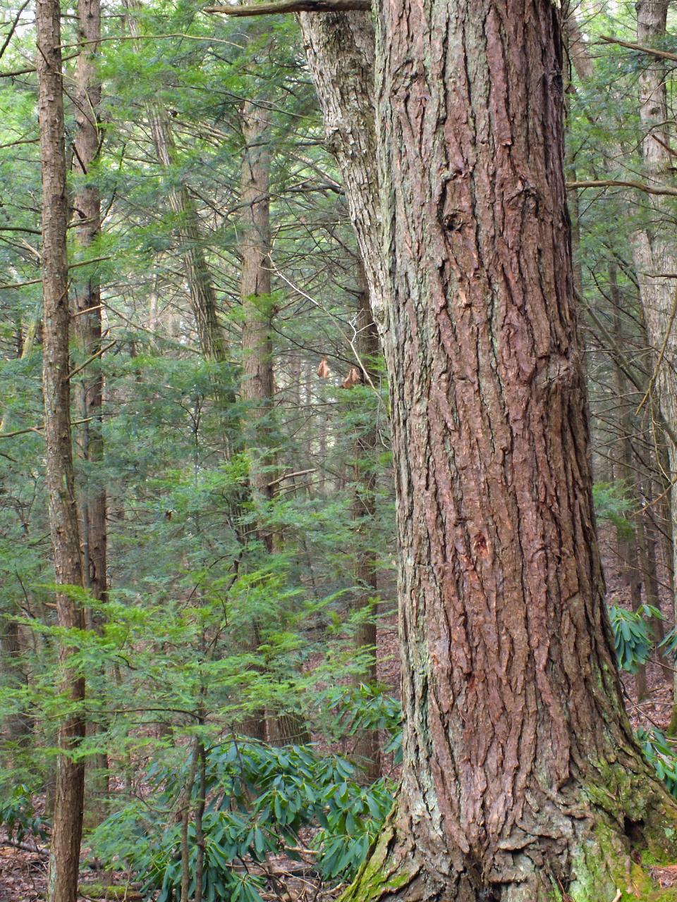
 Eastern hemlock forest along Wild Creek in Beltzville State Park. courtesy of Nicholas↗ (CC BY 2.0↗)
Other Swimming Holes, Hiking Trails, Canoeing Areas, and Kayaking Areas Nearby
Jim Thorpe Area
Renovo, Pennsylvania
9.1 miles WSwim near Renovo, Pennsylvania
Swim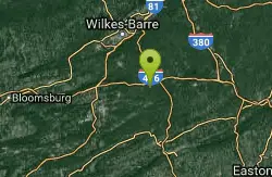
Hickory Run State Park
Renovo, Pennsylvania
14.1 miles NWSwim near Renovo, Pennsylvania
Swim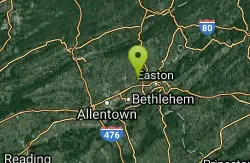
Dutch Springs
Bethlehem, Pennsylvania
19.3 miles SEA 47-acre freshwater lake set up specifically for SCUBA diving — with submerged platforms, vehicles, aircraft, and a variety of fish, plus surface swimming and snorkeling for non-divers.
Swim
Red Rock
East Stroudsburg, Pennsylvania
25.0 miles NECrystal-clear water beneath a 60-ft railroad bridge on Brodhead Creek — with 60- and 80-foot jumping platforms, a rope swing, and calmer spots for a refreshing swim.
Swim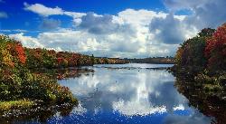
Tobyhanna Lake Beach
Tobyhanna
26.7 miles NEA free, tannin-dark swimming beach on 170-acre Tobyhanna Lake in the Poconos, open 8 a.m. to sunset from Memorial Day weekend to mid-September with no lifeguard on duty. The lake will be drained for dam replacement from spring 2027 through the end of 2028
Camp, Canoe, Hike, Kayak, Swim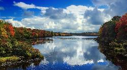
Tobyhanna State Park Beach
Tobyhanna
26.7 miles NEA free, unguarded sand beach on 170-acre Tobyhanna Lake, set at 2,000 feet on the Pocono plateau, with a 5.1 mile gravel trail circling the water. Open Memorial Day weekend to mid-September, though a full lake drawdown for dam replacement has been announc
Camp, Canoe, Hike, Kayak, Swim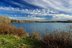
Gouldsboro State Park Beach
Gouldsboro
27.0 miles NGouldsboro Lake's sand beach is free and open, but unguarded: no lifeguards, tannic amber water you cannot see through, and occasional bacteria closures. Electric motors only on this 250-acre Pocono lake.
Canoe, Hike, Kayak, Mountain Bike, Swim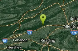
Hamburg Hole
Hamburg, Pennsylvania
28.1 miles SWSwim near Hamburg, Pennsylvania
Swim
Trestle Bridge
Mount Bethel, Pennsylvania
28.8 miles ETrestle Bridge is a local Delaware River swimming and jumping spot near Portland, in Upper Mount Bethel Township, Pennsylvania, where the river forms the Pennsylvania-New Jersey line at the southern...
Swim
Smithfield Beach
Winona Lakes, Pennsylvania
32.1 miles EA grassy Delaware River beach with swimming (lifeguards seasonal), a boat and canoe launch, and a popular 7-mile float to Delaware Water Gap.
Canoe, Kayak, Swim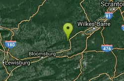
Little Shickshinny Creek Falls
Shickshinny, Pennsylvania
34.6 miles NWSwim near Shickshinny, Pennsylvania
Swim
Roaring Brook
Dunmore, Pennsylvania
38.0 miles NA beautiful and remote swimming hole between two reservoirs, with many pools up and down the creek — slippery moss on the rocks, rugged 4WD access required, and pack out all your trash.
Swim
Promised Land Main Beach
Greentown
38.4 miles NEPromised Land Main Beach is the larger of two sand beaches at Promised Land State Park, a pale sand shelf on the 422-acre Promised Land Lake in the park's Day Use Picnic Area. It is open daily from late May to mid-September, 8:00 A.M. to sunset, with no l
Camp, Canoe, Hike, Kayak, Swim
Blue Marsh Lake Swim Beach
Bernville
39.5 miles SWThe Dry Brooks swim beach at Blue Marsh Lake is a free, unguarded Army Corps of Engineers swimming area on a 1,147-acre reservoir northwest of Reading. A mown lawn runs down to sand and rounded pebble, the entry is shallow and gradual, and buoys mark the
Canoe, Hike, Kayak, Swim
Ricketts Glen State Park
Benton, Pennsylvania
46.8 miles NWSwim near Benton, Pennsylvania
Swim
Willow Springs Park
Myerstown, Pennsylvania
47.3 miles SWA commercially operated quarry with crystal-clear, very deep water, a swimming beach, dive platforms, and a festive New Year's Polar Bear Swim tradition — fees apply.
Swim 0.3 mi
Devil's Well
Hawley, Pennsylvania
48.5 miles NECLOSED. The Devils Well is located on private property owned by Brookfield Energy. It is fenced and violators car info is taken and forwarded to local police. KEEP OUT!!!. A scenic 3-mile woodland hike to a Pocono swimming hole famous with cliff-jumping daredevils near Hawley.
Dive, Hike, Swim 1.0 mi
Little Rocky Glen
Factoryville, Pennsylvania
49.1 miles NA beautiful gorge with waterfalls, pools, and hemlock-lined walls winds through this 59-acre Lackawanna County preserve on Little Rocky Glen Creek — great for fit hikers.
Hike
West Vincent
Phoenixville, Pennsylvania
49.5 miles SWest Vincent is a quiet, uncommercialized French Creek swimming hole near Phoenixville, with a rope swing and little rock islands for sunbathing.
SwimNearby Campsites
Tobyhanna Lake Beach
Tobyhanna
26.7 miles NEA free, tannin-dark swimming beach on 170-acre Tobyhanna Lake in the Poconos, open 8 a.m. to sunset from Memorial Day weekend to mid-September with no lifeguard on duty. The lake will be drained for dam replacement from spring 2027 through the end of 2028
Camp, Canoe, Hike, Kayak, Swim
Tobyhanna State Park Beach
Tobyhanna
26.7 miles NEA free, unguarded sand beach on 170-acre Tobyhanna Lake, set at 2,000 feet on the Pocono plateau, with a 5.1 mile gravel trail circling the water. Open Memorial Day weekend to mid-September, though a full lake drawdown for dam replacement has been announc
Camp, Canoe, Hike, Kayak, Swim
Promised Land Main Beach
Greentown
38.4 miles NEPromised Land Main Beach is the larger of two sand beaches at Promised Land State Park, a pale sand shelf on the 422-acre Promised Land Lake in the park's Day Use Picnic Area. It is open daily from late May to mid-September, 8:00 A.M. to sunset, with no l
Camp, Canoe, Hike, Kayak, Swim


