


Speelyi Beach
Ronald
Canoe, Hike, Kayak, and Swim
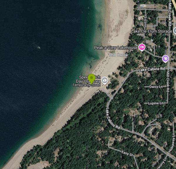
Speelyi Beach is a free day-use beach run by the Cle Elum Ranger District of the Okanogan-Wenatchee National Forest. It sits on the south end of Cle Elum Lake, a natural lake on the Cle Elum River that the Bureau of Reclamation raised and now operates as an irrigation storage reservoir behind Cle Elum Dam, built in 1933. The beach is a long, wide stretch of sand backed by conifer forest, at about 2,200 feet elevation, roughly 2 miles northwest of Ronald and 7 miles up the road from Cle Elum.
To get there from Cle Elum, take Highway 903 north for 7 miles, turn left on Lake Cabins Road, and drive about half a mile. The entrance is on the left. The Forest Service asks visitors to park only in the lots and not along the county road, which runs past private cabins. On hot summer weekends the lots fill and the beach gets very crowded, so arriving early helps.
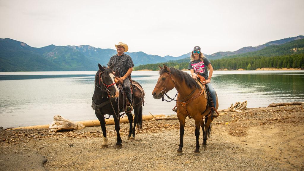
The swimming is straight off the sand into open lake water. There is no roped swim area, and the Forest Service page lists no lifeguards, so everyone swims at their own risk. Cle Elum Lake is fed by snowmelt from the Cascades and stays cold even in midsummer. Because it is a working reservoir, the shoreline moves a lot through the year: the lake is near full in late spring and early summer, then drops as water is released downstream for irrigation. By July the water's edge pulls well back from the high-water line, exposing a broad flat of sand, and by late summer you may walk a long way to reach water. Nearby Wish Poosh Campground's boat ramp is usually closed by early July for the same reason. Wind can be strong on this open south end of the lake and can kick up chop quickly.
There is no fee. The Forest Service lists Speelyi Beach as a free site with no passes required. It is open during daylight hours only. A standing forest order (06-17-03-92-236) bans camping and bans being in the area between 10 p.m. and 6 a.m. to protect the beach and shoreline. Facilities are basic: vault toilets and trash cans, but no drinking water, so bring your own. The cans overflow on busy days and the Forest Service asks visitors to carry their garbage home.
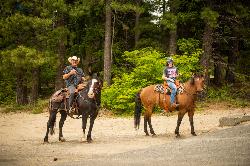
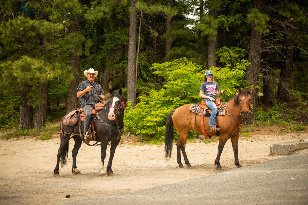
The Forest Service also lists the site for open-area OHV riding, and people drive trucks and off-road rigs onto the exposed lakebed when the water is down, so watch for vehicles on the sand, especially with children. Horses use the beach too. Wildfire closures sometimes cover parts of the Cle Elum Ranger District around the lake, so check current alerts with the district at (509) 852-1100 before a trip.
Besides swimming, the beach is a launch point for kayaks, canoes and paddleboards, and the Forest Service lists day hiking from the site along the forested shore. The nearest campground is Wish Poosh on the southeast shore, a fee site with reservable sites, and the towns of Roslyn and Cle Elum have food and fuel.
More Information
CPN Region YRBWEP Integrated Plan | Bureau of Reclamation
YRBWEP, Integrated Plan, Yakima River Basin, Water Enhancement Program, Documents, Programs, Bureau of Reclamation - Managing water and power in the West
https://www.usbr.gov/pn/programs/yrbwep/2011integratedplan/index.htmlFS ID 100004628 details
A map with the facility/site. Continue on this page to hear information about where the facility/site is located.
https://apps.ecology.wa.gov/facilitysite/FacilitySite/FacilitySiteReport/100004628Okanogan-Wenatchee National Forest | No Camping at Speelyi Beach on Cle Elum Ranger District | Fores
Pursuant to 36 CFR 261.50 (a), the following is prohibited on the Forest Service administered lands on Lake Cle Elum identified as Speelyi Beach. The purpose is to prevent damage to the beach and shoreline resulting from overnight camping and occupancy.1. Camping 36 CFR 261.58 (e)2. Being in the area between 10 p.m. and 6 a.m. 36 CFR 261.58 (u)
https://www.fs.usda.gov/r06/okanogan-wenatchee/alerts/no-camping-speelyi-beach-cle-elum-ranger-districtOkanogan-Wenatchee National Forest | Speelyi Beach | Forest Service
Heavily-used sandy beach area located on the south end of Lake Cle Elum. Be aware, this is a popular spot during the summer and can be very crowded. Garbage receptacles fill up fast so please pack all garbage home with you.
https://www.fs.usda.gov/r06/okanogan-wenatchee/recreation/speelyi-beachOkanogan-Wenatchee National Forest | Three Queens Fire Area Closure Reduced on the Cle Elum Ranger D
As of Nov. 1, 2026 there will be some key changes to the Three Queens Fire closure area.
https://www.fs.usda.gov/r06/okanogan-wenatchee/alerts/three-queens-fire-area-closure-reduced-cle-elum-ranger-district-nov-1Okanogan-Wenatchee National Forest | Wish Poosh Campground | Forest Service
Wish Poosh is located in a mixed conifer forest on the southeast shore of Cle Elum Lake. The campground offers 34 campsites suitable for RVs or tents. This campground is a popular gathering place for individuals and families to enjoy both the mountains and the serenity of the lake at an elevation of 2,300 feet. Recreational opportunities abound for those wanting to take advantage of the trails and waterfront areas nearby. The nearby Speelyi Beach features a wide sandy beach surrounded by conifer forest on Cle Elum Lake. Visitors enjoy swimming and kayaking.
https://www.fs.usda.gov/r06/okanogan-wenatchee/recreation/wish-poosh-campgroundSpeelyi Beach - Mountains To Sound Greenway Trust
The delightful Speelyi Beach on Lake Cle Elum in Okanogan-Wenatchee National Forest provides good access for boating and fishing.
https://mtsgreenway.org/location/speelyi-beach/Top 5 Closest Beautiful Beaches Near Yakima: About an Hour Away
With gas being so high, it's great to get away to a closer beach than the Washington coast!
https://97rockonline.com/5-closest-beautiful-beaches-near-yakima/Be courteous, informed, and prepared. Read trailhead guidelines, stay on the trail, and don't feed the wildlife.
Read More
- Plan Ahead and Prepare
- Travel & camp on durable surfaces
- Dispose of waste properly
- Leave what you find
- Minimize campfire impacts
- Respect wildlife
- Be considerate of other visitors
Directions
- Get directions on Google Maps



Other Swimming Holes, Hiking Trails, Canoeing Areas, and Kayaking Areas Nearby
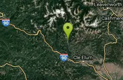
French Cabin Creek
Ronald, Washington
7.5 miles NTwo cold, clear swimming spots in a National Forest creek on either side of a bridge near Ronald, Washington — clothing may be optional.
Swim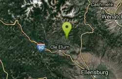
Teanaway River
Cle Elum, Washington
9.7 miles ESwim near Cle Elum, Washington
Swim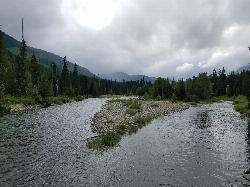
Salmon La Sac Swimming Hole
Cle Elum
10.6 miles NWhere the Cooper River meets the Cle Elum River 19 miles north of Cle Elum, Salmon La Sac holds a run of deep green snowmelt pools below the Forest Service campground. Swimming is free, though parking at the trailhead lot costs $5 a day.
Camp, Hike, Kayak, Swim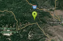
Rainier East Area
Naches, Washington
16.2 miles SSwim near Naches, Washington
Swim
Taneum Creek
Thorp, Washington
16.3 miles SEA popular swimming hole with a deep front pool and a wide, shallow play area directly above and across the creek — a great combo for mixed groups of swimmers.
Swim
Green River Area
Ronald, Washington
19.8 miles WSeveral informal swimming spots in the Upper Green River east of Seattle and North Bend — a casual and scenic escape with clothing sometimes optional.
Swim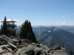
Granite Mountain
North Bend, Washington
22.3 miles NWA steep, rewarding hike up Granite Mountain gaining about 1,000 feet per mile, with panoramic summit views of Mount Rainier, Mount Stewart, and the Teanaway — best tackled after the snow melts.
Backpack, Hike 7.0 mi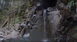
Goldmyer Hot Springs Trail
North Bend, Washington
22.3 miles NWA strenuous 4.5-mile-each-way hike through lush forest to the remote Goldmyer Hot Springs — camping and soaking available by reservation and fee at the springs.
Hike, Hot Springs
island lake
North Bend, Washington
24.4 miles NWA quieter alternative to the crowded Snoqualmie Pass hikes — shed the weekend throngs who turn back at Talapus or Olallie Lake and discover Island Lake in western Washington.
Camp, Hike, Swim
Rock Island
Leavenworth, Washington
25.5 miles NSwim near Leavenworth, Washington
Swim 5.4 mi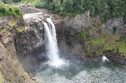
Middle Fork Snoqualmie Trail
North Bend, Washington
30.0 miles NWCLOSED. Closed due to landslide activity.
Hike, Mountain Bike
Waterfront Park
Leavenworth
30.1 miles NEFree city park on the Wenatchee River a few blocks from downtown Leavenworth, with small gravel and sand beaches, Blackbird Island trails and Barn Beach, where tubers end their float. Cold, fast water until late summer.
Hike, Swim 1.5 mi
Twin Falls Trail
North Bend, Washington
32.4 miles NWA peaceful 3-mile river hike near North Bend that arrives at a beautiful waterfall viewpoint bridge at the halfway point, open rain or shine with easy access for all ages.
Hike
Jade Lake
Skykomish, Washington
32.5 miles NA 26-mile overnight backpacking route through the Snoqualmie region past wildflower meadows, Marmot Lake, and a steep talus scramble to a remote alpine lake for swimming.
Backpack, Camp, Swim
Snoqualmie River Area
Leavenworth, Washington
36.7 miles NWScenic Snoqualmie River swimming areas are best visited in late summer when currents slow — strong currents have caused drownings at other times of year.
Swim
Walla Walla Point Park
Wenatchee
37.4 miles EA Chelan County PUD park on the Columbia River in north Wenatchee with a designated swim cove and gravel beach at its north end. Free, open 7 a.m. to 10 p.m. year-round, no lifeguards listed.
Hike, Swim
Skyscraper Mountain Trail
Ashford, Washington
37.4 miles SWA gorgeous day hike to 7,078-foot Skyscraper Mountain in Mount Rainier NP, with unobstructed Cascade Range views, Moraine Peak vistas, and Mystic Lake sightings from the summit.
Hike
Lake Wenatchee State Park South Beach
Leavenworth
41.3 miles NThe designated swim beach at Lake Wenatchee State Park, a sandy stretch of cold, clear glacier-fed lake in the eastern Cascades about 20 road miles from Leavenworth. Discover Pass required ($10 per day).
Camp, Canoe, Hike, Kayak, Swim
Mount Rainer
Ashford, Washington
41.3 miles SWThe most glaciated peak in the contiguous U.S. at 14,410 feet — an active volcano with six major rivers, subalpine wildflower meadows, ancient forest, and abundant wildlife.
Camp, Hike, Mountain Bike
Lake Wilderness Park Swim Beach
Maple Valley, Washington
46.5 miles WFree city park beach on Lake Wilderness in Maple Valley with summer lifeguards, canoe and paddleboard rentals, a concession stand, a big playground and a 40-acre arboretum.
Canoe, Hike, Kayak, SwimNearby Campsites
Salmon La Sac Swimming Hole
Cle Elum
10.6 miles NWhere the Cooper River meets the Cle Elum River 19 miles north of Cle Elum, Salmon La Sac holds a run of deep green snowmelt pools below the Forest Service campground. Swimming is free, though parking at the trailhead lot costs $5 a day.
Camp, Hike, Kayak, Swim
island lake
North Bend, Washington
24.4 miles NWA quieter alternative to the crowded Snoqualmie Pass hikes — shed the weekend throngs who turn back at Talapus or Olallie Lake and discover Island Lake in western Washington.
Camp, Hike, Swim
Jade Lake
Skykomish, Washington
32.5 miles NA 26-mile overnight backpacking route through the Snoqualmie region past wildflower meadows, Marmot Lake, and a steep talus scramble to a remote alpine lake for swimming.
Backpack, Camp, Swim
Lake Wenatchee State Park South Beach
Leavenworth
41.3 miles NThe designated swim beach at Lake Wenatchee State Park, a sandy stretch of cold, clear glacier-fed lake in the eastern Cascades about 20 road miles from Leavenworth. Discover Pass required ($10 per day).
Camp, Canoe, Hike, Kayak, Swim
Mount Rainer
Ashford, Washington
41.3 miles SWThe most glaciated peak in the contiguous U.S. at 14,410 feet — an active volcano with six major rivers, subalpine wildflower meadows, ancient forest, and abundant wildlife.
Camp, Hike, Mountain Bike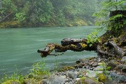
Blue Hole on the Ohanapecosh River
Packwood
46.6 miles SWA clear, cold pool on the Ohanapecosh River in La Wis Wis Campground east of Packwood, reached by a 100-yard Forest Service trail from the Hatchery Loop just above the start of the Cowlitz River.
Camp, Hike, Swim


