


Harriman Trail
Ketchum
Cross Country Ski, Cycle, Hike, and Mountain Bike
The Harriman Trail is an 18-mile non-motorized gravel path that follows the Big Wood River up the valley from the Sawtooth National Recreation Area headquarters, about 8 miles north of Ketchum, to Galena Lodge near the top of the valley. The Blaine County Recreation District (BCRD) manages it year-round in partnership with the U.S. Forest Service, and the whole route sits inside the SNRA. The trail is named for W. Averell Harriman, the Union Pacific chairman who founded Sun Valley. Construction started in 1991 with a pledge from the Mary W. Harriman Foundation, and the full length was finished in July 2001.
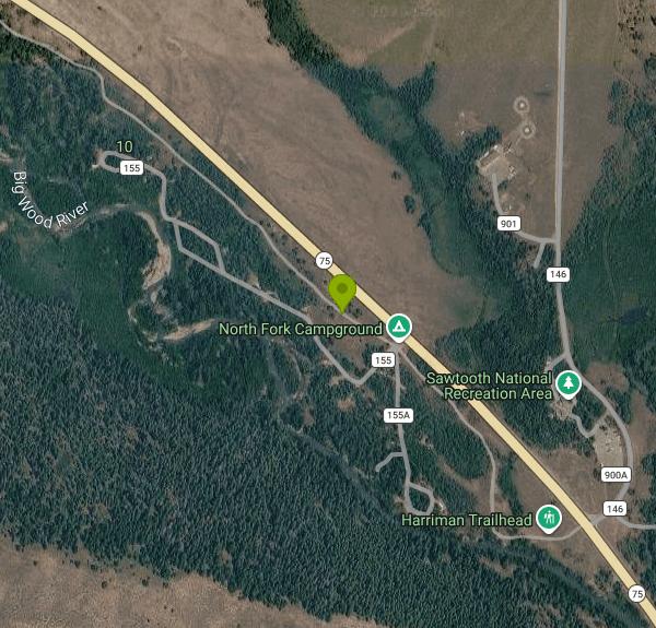
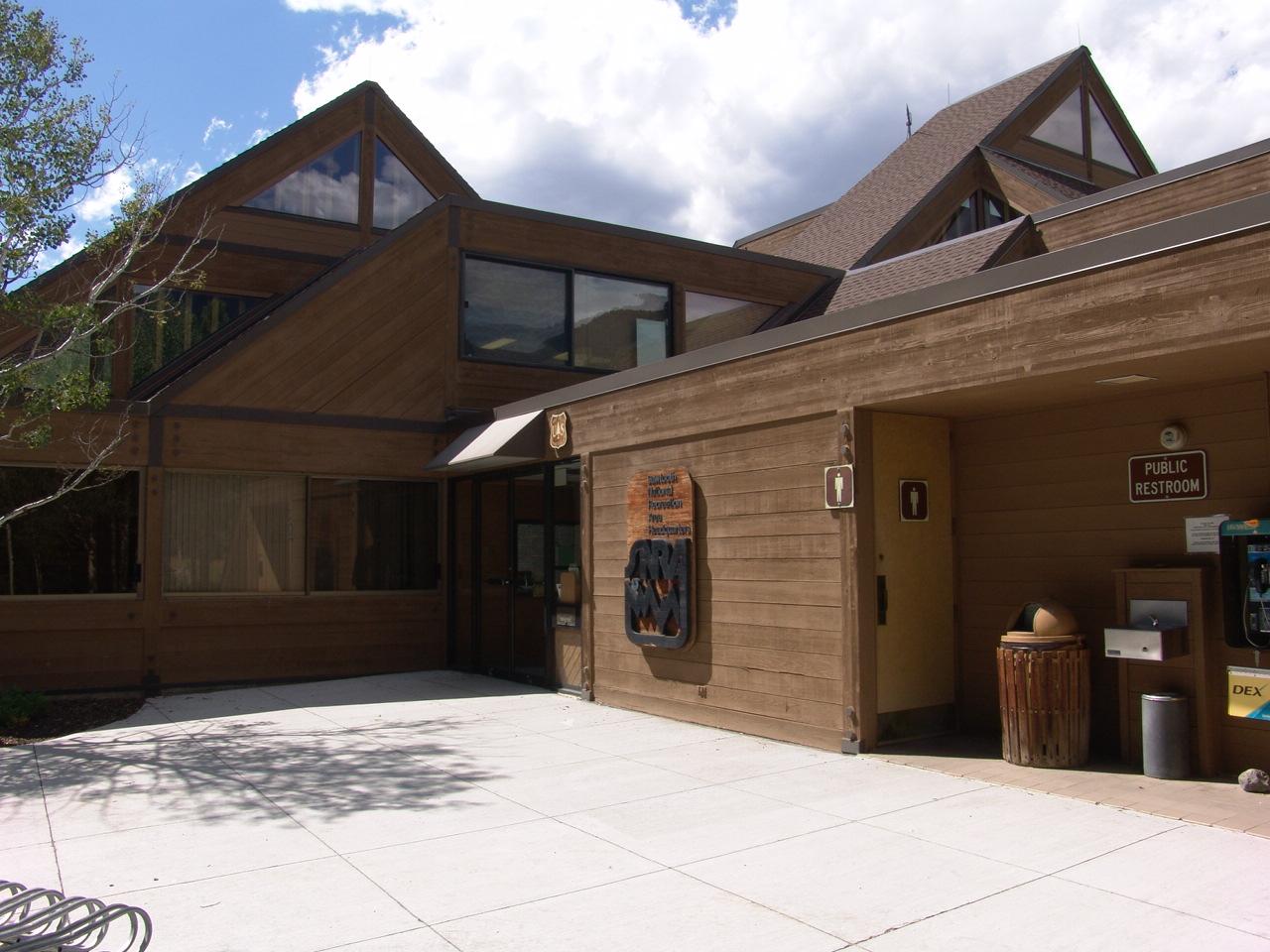
The south end starts at the SNRA headquarters on North Fork Canyon Road, just off Highway 75. The headquarters has a large parking area and is staffed on weekdays in season, which makes it the easiest place to start. From there the path runs north along the river and the highway, and several spots along the way let you get on or off: the North Fork area by the headquarters, Baker Creek, the Easley area, Billy's Bridge, Prairie Creek a few miles below Galena, and Cathedral Pines. Galena Lodge marks the north end, with its own parking, food in season and a connection to the Galena trail system. With that many access points, most people ride or walk one section rather than the full length. A car shuttle between the two ends is the usual way to do the whole thing one way.
The grade is gentle. Heading north from the headquarters, the trail climbs roughly 1,200 feet over its length. That averages under one percent, with short pitches up to about 6 percent. Dirty Freehub rates it Easier and lists a full out-and-back at about 39 miles with around 2,300 feet of climbing. The surface is compacted gravel and dirt the whole way, so a mountain bike, gravel bike or hybrid all work. It makes a good first long ride for kids or anyone new to riding at altitude. The stretch closer to Galena has more rolling hills and rock formations than the flatter southern miles, and interpretive kiosks along the way cover the history and ecology of the upper valley.
In summer the trail is open to walkers, bikers and horseback riders, and BCRD asks bikers to yield to hikers and horses. There is no fee for summer use. BCRD does not post a separate summer dog rule for the Harriman, so keep dogs under control and clear of horses and bikes, and pack out waste. Sheep bands graze parts of the upper valley in late summer and fall, including around Baker Creek, and guard dogs may be with them. Give them room.
In winter BCRD grooms the Harriman as the spine of its North Valley Nordic system. That system also includes the North Fork and Durrance loops at the SNRA headquarters, Lake Creek, Billy's Bridge, Prairie Creek and the Galena trails. BCRD lists the groomed Harriman at about 32 km, point to point between the headquarters and Galena Lodge. You need a BCRD day or season Nordic pass to ski or snowshoe the Harriman and the rest of the North Valley trails, and kids 17 and under ski free. Dogs are allowed in winter only on the southern section from the SNRA headquarters to Cathedral Pines, and BCRD sells a dog pass for its dog-friendly trails. Keep dogs under voice and sight control or on a leash, and pack out their waste. BCRD posts daily grooming reports on its TraiLink page, and conditions change fast at this elevation, so check before you drive up.
More Information
Complete Guide to Cross-Country Skiing Sun Valley - Sun Valley Idaho
We give you the complete break down of everything you need to know, from where to ski to who can help you get the right gear.
https://visitsunvalley.com/complete-guide-to-cross-country-skiing-sun-valleyHarriman Trail - BCRD
News: Quigley Trails Park is closed for Paving August 8-14. Harriman Trail Named in honor of W. Averell Harriman, the Harriman Trail is an 18 mile non-motorized gravel pathway north of Ketchum, Idaho between Galena Lodge and the Sawtooth NRA Headquarters. Summer Trailink Harriman Trail Maps Download Map In the…
https://bcrd.org/summer-trails/our-summer-trails/harriman-trail/Harriman Trail / Gravel Ride Guide by Dirty Freehub
A close-to-town gravel ride along the Harriman Trail. Informational kiosks, big mountain views and a stop at the historic Galena Lodge.
https://dirtyfreehub.org/routes/idaho/harriman-trail/North Valley Trails - BCRD
News: Quigley Trails Park is closed for Paving August 8-14. Dismiss this alert. The North Valley Trail system lies north of Ketchum and includes Lake Creek, North Fork, Billy’s Bridge, Prairie Creek, and the Harriman Trail. Trail Passes Winter Trailink North Valley Trails Download Map Located north of Ketchum, the…
https://bcrd.org/winter-trails/our-winter-trails/north-valley-trails/Out on the trails | Special Sections | mtexpress.com
Operating one of the largest and most dog-friendly Nordic trails systems in North America, the Blaine County Recreation District’s winter trail system offers more than 200 kilometers (124.3 miles) of
https://www.mtexpress.com/wood_river_journal/special_sections/out-on-the-trails/article_6ed161a6-a792-11ef-844c-b339fd830eb4.htmlTrail Etiquette - BCRD
Using proper trail etiquette on our Nordic and snowshoe trails ensures an enjoyable experience for all. Explore Be Courteous The Wood River Valley is full of extraordinary recreation experiences, and there is enough space here for everyone to enjoy.Whether you're training for the next FIS Cross-Country World Cup or out…
https://bcrd.org/winter-trails/trail-etiquette/Trail Passes & Pins - BCRD
2026-2027 Nordic Season Passes Preseason Sale October 12 - November 22 BCRD operates more than 160 kilometers of Nordic skiing and 36 kilometers of snowshoe trails throughout the Wood River Valley.A BCRD day pass or season pass is required for skiing or snowshoeing on BCRD trails, with the exception of…
https://bcrd.org/winter-trails/trail-passes-pins/Never modify trail features. Ride trails when they're dry enough that you won't leave ruts. Speak up when you see others on the trail and always yield to hikers, horses, and others coming uphill. Always ride on the established trail.
Read MoreBe courteous, informed, and prepared. Read trailhead guidelines, stay on the trail, and don't feed the wildlife.
Read More
- Plan Ahead and Prepare
- Travel & camp on durable surfaces
- Dispose of waste properly
- Leave what you find
- Minimize campfire impacts
- Respect wildlife
- Be considerate of other visitors
Directions
From Ketchum
- Head southwest on Sun Vly Rd E toward N Main St (138 ft)
- Turn right onto ID-75 N/
N Main St Continue to follow ID-75 NDestination will be on the left(8.3 mi)
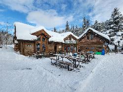
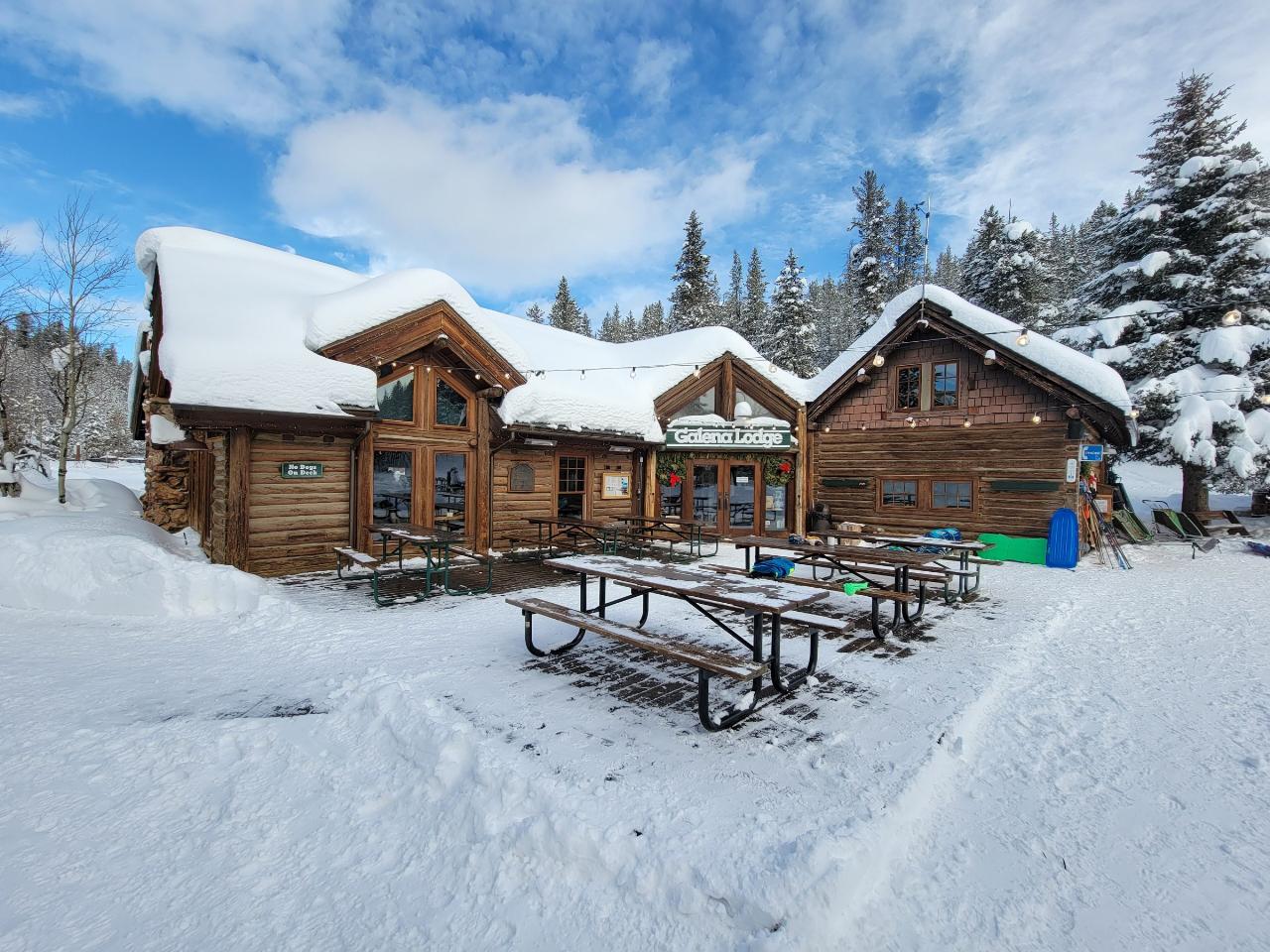
 Galena Lodge at the north end of the Harriman Trail in winter courtesy of Votpuske↗ (CC BY-SA 4.0↗)
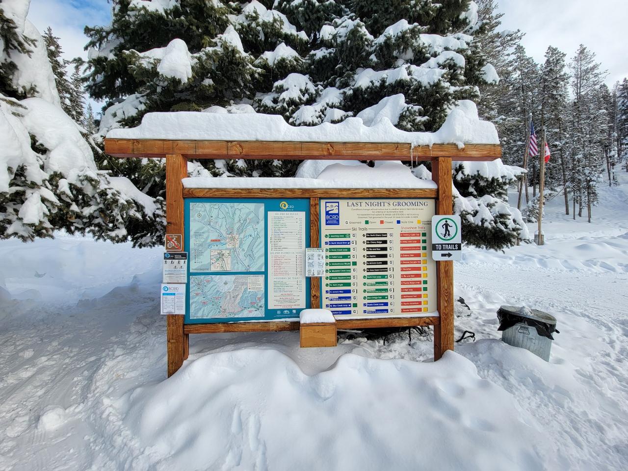
 Trail map and grooming board at Galena Lodge courtesy of Votpuske↗ (CC BY-SA 4.0↗)
 Sawtooth National Recreation Area headquarters at the south end of the trail courtesy of J. Crane↗ (Public domain↗)
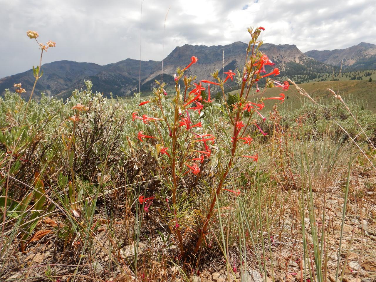
 Scarlet gilia in the sagebrush along the Harriman Trail near Easley courtesy of Matt Lavin↗ (CC BY-SA 2.0↗)

Other Mountain Bike Trails, Hiking Trails, Cross Country Ski Trails, and s Nearby
Saddle / Trail #326
Ketchum, Idaho
0.8 miles SESaddle Trail (#326) is a smooth, shaded intermediate mountain-bike ride through aspen and pine near Ketchum, Idaho.
Mountain Bike
Fox Creek Loop
Ketchum, Idaho
2.5 miles SEA 6-mile singletrack loop north of Ketchum that climbs through the 2007 Castle Rock burn, drops through aspen and finishes along the Big Wood River. Bikes ride it one way, counter-clockwise.
Hike, Mountain Bike
Chocolate Gulch / Trail #312
Ketchum, Idaho
2.5 miles SEChocolate Gulch (Trail #312) is a mellow, scenic mountain-bike ride north of Ketchum with wildflowers and Boulder Mountain views.
Mountain Bike
Oregon Gulch / Trail #183
Ketchum, Idaho
4.8 miles SWA long, remote mountain bike adventure through meadows, past a yurt, and into the steep downhill-only Upper Oregon Gulch — with loose rock, rooted terrain, and 50 feet of hike-a-bike near the top.
Mountain Bike
Adams Gulch Loop
Ketchum, Idaho
6.1 miles SKetchum's busiest trail network, with easy loops on Shadyside and Sunnyside, the Griffin Butte intermediate loop and the one-way, bike-only Forbidden Fruit flow trail. The trailhead is less than two miles north of town.
Hike, Mountain Bike
Fox Peak / Trail #938
Ketchum, Idaho
6.2 miles SWA connector singletrack through a castle-rock fire recovery area and a beautiful aspen grove, linking Osberg Ridgeline to East Fork Road #168.
Mountain Bike
White Cloud Loop
Sun Valley, Idaho
7.3 miles SEA 4.2-mile dirt loop around the White Clouds golf course in Sun Valley, maintained by Sun Valley Company and open to hikers, runners, riders and leashed dogs. It dries out early in spring and looks across at Bald Mountain and the Boulder Mountains.
Hike, Mountain Bike
East Fork Baker Creek Road
Ketchum, Idaho
7.6 miles SWA dead-end dirt road that climbs high into the mountains above Ketchum and serves as a gateway to numerous singletrack trails in the area.
Mountain Bike
Corral Creek
Hailey, Idaho
8.6 miles SEFun and fast singletrack along Trail Creek on the lower end and Corral Creek Road at the top — nothing too technical, great for beginners, and busy with other trail users.
Mountain Bike
Bald Mountain Bike Park
Ketchum, Idaho
8.6 miles SA lift-accessed summer mountain biking experience at Bald Mountain — 3,000 feet of uphill elevation included, followed by miles of advanced downhill trails back to the base.
Mountain Bike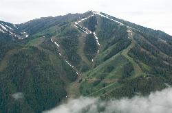
Bald Mountain Trail
Ketchum, Idaho
8.6 miles SThe main hiking and uphill-only biking route up Bald Mountain, climbing about 5.2 miles and 3,200 feet from River Run Plaza in Ketchum. Many hikers stop at the Roundhouse about 4 miles up.
Hike, Mountain Bike
River Run
Ketchum, Idaho
8.7 miles SA great descending trail in the Bald Mountain area near Ketchum with plenty of switchbacks, wooded shade, and connections to Bald Mountain Trail and Warm Spring Trail — watch for hikers on the way down.
Mountain Bike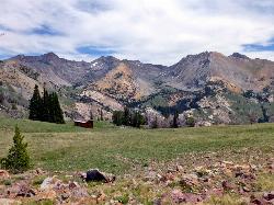
Pioneer Cabin Trail
Sun Valley
10.2 miles EA steep, switchbacking trail from the Corral Creek trailhead east of Sun Valley to Pioneer Cabin, a 1937 Union Pacific ski hut with close views of the Pioneer Mountains.
Hike, Mountain Bike
Spring Creek
Ketchum, Idaho
10.7 miles WOne of the main singletrack trails at Galena Lodge near Ketchum — the lower section delivers excellent flow for mountain bikers looking for a smooth, fun ride in the Galena system.
Mountain Bike
Greenhorn Gulch
Ketchum, Idaho
11.0 miles SWA scenic multi-use singletrack in Ketchum with good downhill flow, a moderate climb, and a grind up to the Imperial Gulch junction.
Mountain Bike
Galena Lodge
Ketchum, Idaho
12.8 miles NWA community-owned historic lodge 23 miles north of Sun Valley, open summer and winter as a hub for hikers, bikers, Nordic skiers, and snowshoers with rentals and great food.
Camp, Cross-country Ski, Snowshoe
Galena Lodge Trail System
Ketchum, Idaho
12.8 miles NWA complex network of interconnected trails in Ketchum — home of the classic Galena Grinder cross-country race and great riding for all levels.
Mountain Bike
Osberg's Ridgeline Trail
Ketchum, Idaho
13.3 miles SWAn epic ridgeline point-to-point shuttle ride near Ketchum with million-dollar views in every direction — plenty of climbing and descending along a gorgeous ridge to Adams Gulch.
Mountain Bike
Imperial Gulch Trail
Hailey, Idaho
13.4 miles SA steady climb through wildflowers, aspen groves, and meadows near Hailey with stunning Pioneer Mountain views — best ridden counter-clockwise beginning with Greenhorn Gulch.
Mountain Bike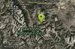
Germania Creek - Chamberlain Creek Loop
Stanley, Idaho
16.9 miles NWA spectacular, remote 16-mile loop through Chamberlain Basin with high mountain passes, creek crossings, open meadows, and views of Castle Peak from the summit.
Mountain BikeNearby Campsites
Galena Lodge
Ketchum, Idaho
12.8 miles NWA community-owned historic lodge 23 miles north of Sun Valley, open summer and winter as a hub for hikers, bikers, Nordic skiers, and snowshoers with rentals and great food.
Camp, Cross-country Ski, Snowshoe 3.4 mi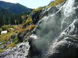
Skillern Hot Springs
Fairfield, Idaho
21.8 miles SWA stunning six-mile trail along crystal-clear Big Smoky Creek to a hot spring — spectacular in fall, with two trail options and a sign marking the final three miles.
Camp, Hike, Hot Springs
Worswick Hot Springs
Fairfield, Idaho
24.3 miles SWFree hillside hot spring pools on Worswick Creek in the Sawtooth National Forest, about 20 miles north of Fairfield. The lower pools run about 90 to 105 degrees, and the source water is hot enough to scald.
Camp, Hot Springs
Preis Hot Spring
Fairfield, Idaho
25.1 miles SWA small sunken wooden box beside Forest Road 227 north of Fairfield that fits two people in clear, roughly 102 degree water. Pair it with Worswick Hot Springs a couple of miles away.
Camp, Hot Springs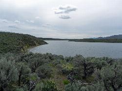
Magic Reservoir
Bellevue
31.4 miles SMagic Reservoir is a big irrigation lake on the Big Wood River surrounded by BLM sagebrush land, with free ramps and primitive camps. It is known for trout, perch and ice fishing, but water levels swing hard with irrigation demand.
Camp, Canoe, Kayak
Mormon Reservoir
Fairfield
39.9 miles SWIrrigation reservoir on McKinney Creek about five miles south of Fairfield, with a free Idaho Fish and Game boat ramp, docks, toilets and primitive camping. It is stocked with rainbow trout, but the water drops hard by late summer and in dry years.
Camp, Canoe, Kayak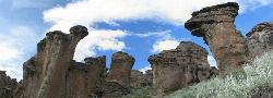
Little City of Rocks
Gooding, Idaho
48.0 miles SA volcanic hoodoo landscape of natural arches, towers, and mushroom-cap formations near Gooding, Idaho — best visited in spring when desert wildflowers bloom and the main loop trail is scenic.
Camp, Hike
Lava Flow Campground
Arco, Idaho
49.1 miles SEA campground surrounded by a young lava flow near the Craters of the Moon visitor center and popular trails — 42 first-come sites at $15/night during main season.
Camp


