


Pioneer Cabin Trail
Sun Valley
Hike and Mountain Bike
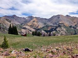
Pioneer Cabin Trail No. 122 climbs from the Corral Creek drainage east of Sun Valley to Pioneer Cabin, a small ski hut on a high ridge with a close view of the Pioneer Mountains. It is one of the most popular hikes in the Wood River Valley, on the Ketchum Ranger District of the Sawtooth National Forest.
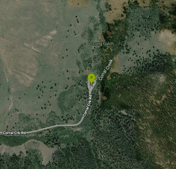
The Pioneer Cabin Trailhead is at the end of Corral Creek Road. From Sun Valley, drive east on Trail Creek Road and turn onto the Corral Creek road, about 20 minutes in all. The trailhead sits just under 7,000 feet and serves both the Pioneer Cabin Trail and Long Gulch Trail No. 123. The Forest Service lists two picnic sites, a hitching rail with limited trailer parking and a vault toilet. There is no drinking water and no fee. The lot is small and fills on summer weekends, so come early.
From the trailhead the trail climbs about 2,500 feet in roughly 3.6 to 3.8 miles, on a long series of switchbacks through timber and then open slopes. Visit Sun Valley counts 23 of them. Most people hike it as an out-and-back of about 7.5 to 8.5 miles. A popular alternative is the loop that comes back down Long Gulch, about 8.8 miles with around 3,000 feet of climbing. Near the top the trail meets the Johnstone Creek trail, and the north face of Johnstone Peak comes into view. You can also reach the cabin from the Hailey side via the North Fork Hyndman Creek Trail or Johnstone Creek. Both are longer and steeper, and the North Fork Hyndman route gains about 1,400 feet in its final mile. Wildflowers usually peak in late July, and the Forest Service notes good elk viewing in the area.
Bikes are allowed and it is a known ride, but a hard one. MTB Project rates the trail Difficult, with an average grade of about 13 percent, much steeper pitches, and technical sections on the switchbacks. Most riders push part of the climb and ride down, or climb Long Gulch for the loop. Dogs are allowed on the trail. Bring water, since there is none at the trailhead or the cabin.
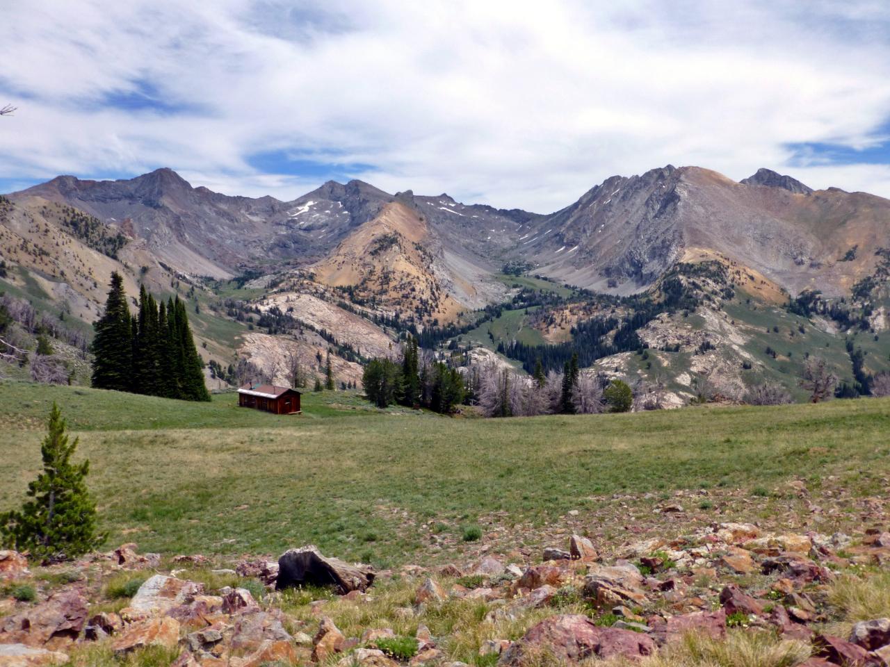
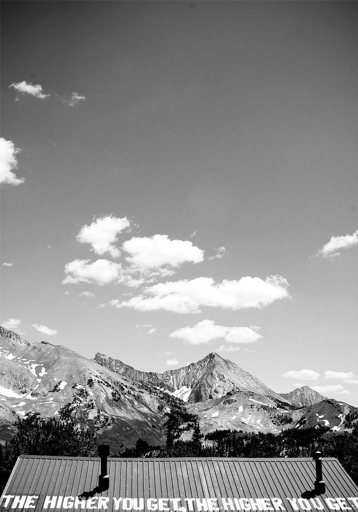
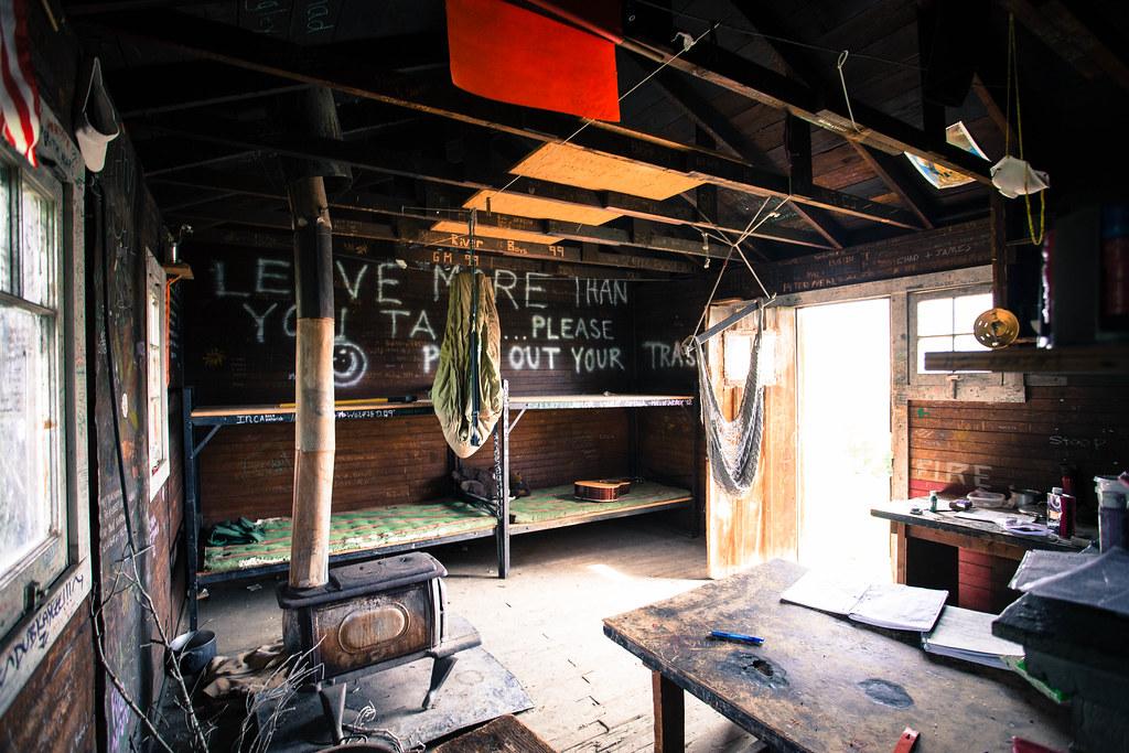
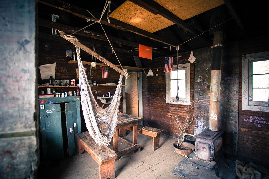
Union Pacific built Pioneer Cabin in 1937 as a ski hut for its new Sun Valley resort. Charles Proctor and Alf Engen chose the site, the cabin was doubled in size in 1938, and guides from the resort's ski touring school led trips there. Today it is a simple two-room shelter used by spring skiers and summer hikers. Sources put it at roughly 9,400 to 9,600 feet. The roof carries the painted line "The higher you get, the higher you get." A volunteer crew rebuilt the porch, door and foundation in 2018. The cabin has primitive bunks, and overnight stays are first come, first served with no reservations. There is no toilet or water at the cabin, so pack out everything you bring.
The trail is usually snow-free from early summer into fall, but expect snow and postholing on the upper switchbacks into June. Once snow closes the Corral Creek road, reaching the cabin becomes a much longer winter ski tour in the backcountry. Check with the Ketchum Ranger District for current road and trail conditions.
More Information
Guide to Hiking Sun Valley Part I - Hiking in Sun Valley, Idaho: A Summer Guide - Sun Valley Idaho
Your guide to hiking in the Sun Valley, Idaho area. We've compiled hike suggestions that range from mellow beginner hikes to bigger advanced hikes.
https://visitsunvalley.com/hiking-in-sun-valley-idaho-a-summer-guide/Pioneer Cabin Loop Hiking Trail, Sun Valley, Idaho
A loop consisting of Pioneer Cabin Trail #122 and Long Gulch Trail #123. Near Sun Valley, Idaho.
https://www.hikingproject.com/trail/7052127/pioneer-cabin-loopPioneer Cabin Trail #122 Mountain Bike Trail, Sun Valley, Idaho
Stout climb to pioneer cabin. Near Sun Valley, Idaho.
https://www.mtbproject.com/trail/7041129/pioneer-cabin-trail-122pioneercabin.org - getting there
Weather is always an important consideration when planning a trip to Pioneer Cabin. Weather in Sun Valley (elevation 6,000 or so) is relevant since the trailheads are around 7,000. But the cabin itself is at a much higher elevation (9,600) and the weather can vary dramatically between the trailhead
https://www.pioneercabin.org/routepioneercabin.org - history
The original cabin was more of a hut. The front "porch" or landing was restored to the cabin in 2019 by a group of volunteers. A second room which doubled the size was added about a year after this photo.
https://www.pioneercabin.org/historySawtooth National Forest | Pioneer Cabin Trailhead | Forest Service
This trailhead serves the Pioneer Cabin Tr. No. 122 and Long Gulch Tr. No. 123. There are also two picnic sites, each featuring a fire ring and picnic table. A hitching rail and limited trailer parking are provided for stock users. A vault toilet is located at the trailhead.
https://www.fs.usda.gov/r04/sawtooth/recreation/pioneer-cabin-trailheadSawtooth National Forest | Pioneer Cabin | Forest Service
Pioneer Cabin, nestled high in the Pioneer Mountains, is an enduring legacy to Sun Valley's storied past. Built by Union Pacific Railroad as a ski hut in 1937, the cabin still provides shelter for spring skiers and a popular lunch spot for summer hikers. Perched at 9,400 feet, the cabins front steps offer breathtaking views of the Pioneer Mountains. The cabin can be accessed from the Pioneer Cabin Trail or from the North Fork Hyndman Creek Trail. Both trails involve somewhat strenuous climbs. Wildlife viewing is great, particularly for elk.
https://www.fs.usda.gov/r04/sawtooth/recreation/pioneer-cabinSun Valley's Best Hike: Guide to the Pioneer Cabin Trail - Lita of the Pack
Get ultimate guide to one of Sun Valley's most popular hikes: the Pioneer Cabin trail. Find out great tips for your trip!
https://www.litaofthepack.com/pioneer-cabin-trail/Never modify trail features. Ride trails when they're dry enough that you won't leave ruts. Speak up when you see others on the trail and always yield to hikers, horses, and others coming uphill. Always ride on the established trail.
Read MoreBe courteous, informed, and prepared. Read trailhead guidelines, stay on the trail, and don't feed the wildlife.
Read More
- Plan Ahead and Prepare
- Travel & camp on durable surfaces
- Dispose of waste properly
- Leave what you find
- Minimize campfire impacts
- Respect wildlife
- Be considerate of other visitors
Directions
From Sun Valley
- Head east on Inn Entry Ln toward Moritz Rd (302 ft)
- Turn left onto Moritz Rd (0.2 mi)
- Turn right onto Sun Vly Rd E/
Trail Creek Rd Continue to follow Trail Creek RdParts of this road may be closed at certain times or days(3.5 mi) - Turn right onto Corral Crk Rd/
Forest Rd 70137/ NF-137 (3.8 mi) - Slight left onto Corral Crk Rd/
Forest Rd 70137 Destination will be on the right(141 ft)
 Pioneer Cabin in its meadow below the Pioneer Mountains courtesy of Ben Christenson↗ (CC BY 2.0↗)
 Pioneer Cabin with the Pioneer Mountains behind it courtesy of Brian J Kelly↗ (CC BY 2.0↗)
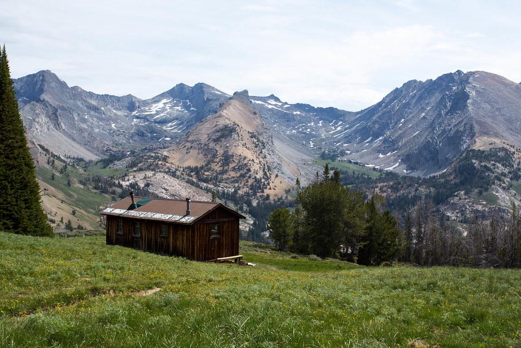
 The painted roof of Pioneer Cabin facing the Pioneer Mountains courtesy of EmilyBergquist↗ (CC BY 2.0↗)
 Inside Pioneer Cabin, with the wood stove and bunks courtesy of Brian J Kelly↗ (CC BY 2.0↗)
 The back room of Pioneer Cabin courtesy of Brian J Kelly↗ (CC BY 2.0↗)
Other Mountain Bike Trails and Hiking Trails Nearby
Corral Creek
Hailey, Idaho
2.1 miles WFun and fast singletrack along Trail Creek on the lower end and Corral Creek Road at the top — nothing too technical, great for beginners, and busy with other trail users.
Mountain Bike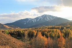
White Cloud Loop
Sun Valley, Idaho
6.9 miles SWA 4.2-mile dirt loop around the White Clouds golf course in Sun Valley, maintained by Sun Valley Company and open to hikers, runners, riders and leashed dogs. It dries out early in spring and looks across at Bald Mountain and the Boulder Mountains.
Hike, Mountain Bike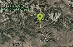
River Run
Ketchum, Idaho
8.1 miles SWA great descending trail in the Bald Mountain area near Ketchum with plenty of switchbacks, wooded shade, and connections to Bald Mountain Trail and Warm Spring Trail — watch for hikers on the way down.
Mountain Bike
Adams Gulch Loop
Ketchum, Idaho
8.2 miles WKetchum's busiest trail network, with easy loops on Shadyside and Sunnyside, the Griffin Butte intermediate loop and the one-way, bike-only Forbidden Fruit flow trail. The trailhead is less than two miles north of town.
Hike, Mountain Bike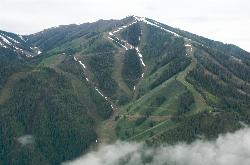
Bald Mountain Trail
Ketchum, Idaho
8.3 miles SWThe main hiking and uphill-only biking route up Bald Mountain, climbing about 5.2 miles and 3,200 feet from River Run Plaza in Ketchum. Many hikers stop at the Roundhouse about 4 miles up.
Hike, Mountain Bike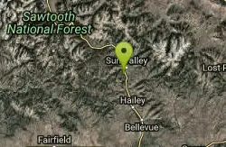
Bald Mountain Bike Park
Ketchum, Idaho
8.3 miles SWA lift-accessed summer mountain biking experience at Bald Mountain — 3,000 feet of uphill elevation included, followed by miles of advanced downhill trails back to the base.
Mountain Bike
Chocolate Gulch / Trail #312
Ketchum, Idaho
8.5 miles WChocolate Gulch (Trail #312) is a mellow, scenic mountain-bike ride north of Ketchum with wildflowers and Boulder Mountain views.
Mountain Bike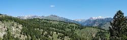
Fox Creek Loop
Ketchum, Idaho
8.5 miles WA 6-mile singletrack loop north of Ketchum that climbs through the 2007 Castle Rock burn, drops through aspen and finishes along the Big Wood River. Bikes ride it one way, counter-clockwise.
Hike, Mountain Bike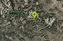
Saddle / Trail #326
Ketchum, Idaho
9.6 miles WSaddle Trail (#326) is a smooth, shaded intermediate mountain-bike ride through aspen and pine near Ketchum, Idaho.
Mountain Bike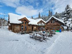
Harriman Trail
Ketchum
10.2 miles WAn 18-mile gravel path from the Sawtooth National Recreation Area headquarters north of Ketchum to Galena Lodge. It is open to bikes, hikers and horses in summer and groomed by BCRD for Nordic skiing in winter.
Cross-country Ski, Cycle, Hike, Mountain Bike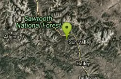
Oregon Gulch / Trail #183
Ketchum, Idaho
13.6 miles WA long, remote mountain bike adventure through meadows, past a yurt, and into the steep downhill-only Upper Oregon Gulch — with loose rock, rooted terrain, and 50 feet of hike-a-bike near the top.
Mountain Bike
Imperial Gulch Trail
Hailey, Idaho
13.6 miles SWA steady climb through wildflowers, aspen groves, and meadows near Hailey with stunning Pioneer Mountain views — best ridden counter-clockwise beginning with Greenhorn Gulch.
Mountain Bike
Fox Peak / Trail #938
Ketchum, Idaho
13.9 miles WA connector singletrack through a castle-rock fire recovery area and a beautiful aspen grove, linking Osberg Ridgeline to East Fork Road #168.
Mountain Bike
Quigley Canyon
Hailey
15.4 miles SA year-round BCRD trail area in Quigley Canyon east of Hailey. Summer brings a pump track, flow trails, jump lines and a 4-mile loop, and winter brings over 20 km of groomed Nordic trails.
Cross-country Ski, Hike, Mountain Bike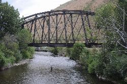
Wood River Trail
Hailey
15.5 miles SA free paved path of 20-plus miles on the old Union Pacific rail bed, linking Bellevue, Hailey, Ketchum and Sun Valley. It is groomed for Nordic skiing in winter.
Cross-country Ski, Cycle, Hike
Carbonate Mountain
Hailey, Idaho
16.0 miles SSteep trail up the 6,714-foot hill directly west of downtown Hailey, with a 3.7-mile hiking loop, a six-mile advanced bike loop and wide views of the Wood River Valley.
Hike, Mountain Bike
Greenhorn Gulch
Ketchum, Idaho
16.3 miles WA scenic multi-use singletrack in Ketchum with good downhill flow, a moderate climb, and a grind up to the Imperial Gulch junction.
Mountain Bike
East Fork Baker Creek Road
Ketchum, Idaho
16.6 miles WA dead-end dirt road that climbs high into the mountains above Ketchum and serves as a gateway to numerous singletrack trails in the area.
Mountain Bike
Lambs Gulch
Hailey, Idaho
17.1 miles SCLOSED. Closed due to wildfire as well as expressed concerns from the property owner. Four miles of buffed-out singletrack with bridges and berms — part of a large and growing trail system near Hailey, Idaho that rewards riders looking for flow.
Mountain Bike
Hidden Valley
Hailey, Idaho
18.0 miles SA connector trail in Bullion Gulch best ridden counterclockwise, passing through open sagebrush, an aspen grove, and about 13 bermed turns through rolling hills.
Mountain BikeNearby Campsites
Galena Lodge
Ketchum, Idaho
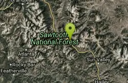
23.0 miles NWA community-owned historic lodge 23 miles north of Sun Valley, open summer and winter as a hub for hikers, bikers, Nordic skiers, and snowshoers with rentals and great food.
Camp, Cross-country Ski, Snowshoe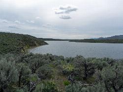
Magic Reservoir
Bellevue
29.7 miles SMagic Reservoir is a big irrigation lake on the Big Wood River surrounded by BLM sagebrush land, with free ramps and primitive camps. It is known for trout, perch and ice fishing, but water levels swing hard with irrigation demand.
Camp, Canoe, Kayak 3.4 mi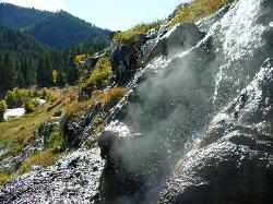
Skillern Hot Springs
Fairfield, Idaho
29.8 miles WA stunning six-mile trail along crystal-clear Big Smoky Creek to a hot spring — spectacular in fall, with two trail options and a sign marking the final three miles.
Camp, Hike, Hot Springs
Worswick Hot Springs
Fairfield, Idaho
30.8 miles SWFree hillside hot spring pools on Worswick Creek in the Sawtooth National Forest, about 20 miles north of Fairfield. The lower pools run about 90 to 105 degrees, and the source water is hot enough to scald.
Camp, Hot Springs
Preis Hot Spring
Fairfield, Idaho
32.0 miles WA small sunken wooden box beside Forest Road 227 north of Fairfield that fits two people in clear, roughly 102 degree water. Pair it with Worswick Hot Springs a couple of miles away.
Camp, Hot Springs
Lava Flow Campground
Arco, Idaho
38.9 miles SEA campground surrounded by a young lava flow near the Craters of the Moon visitor center and popular trails — 42 first-come sites at $15/night during main season.
Camp
Mormon Reservoir
Fairfield
42.7 miles SWIrrigation reservoir on McKinney Creek about five miles south of Fairfield, with a free Idaho Fish and Game boat ramp, docks, toilets and primitive camping. It is stocked with rainbow trout, but the water drops hard by late summer and in dry years.
Camp, Canoe, Kayak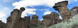
Little City of Rocks
Gooding, Idaho
48.5 miles SWA volcanic hoodoo landscape of natural arches, towers, and mushroom-cap formations near Gooding, Idaho — best visited in spring when desert wildflowers bloom and the main loop trail is scenic.
Camp, Hike


