


14 Hiking Trails near Mormon Reservoir
first prev 1 next lastShowing Hiking Trails within 50 miles Distance miles of Mormon Reservoir near Fairfield City, Zip, or Address
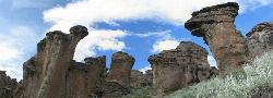
Little City of Rocks
Gooding, Idaho
12.6 miles SEA volcanic hoodoo landscape of natural arches, towers, and mushroom-cap formations near Gooding, Idaho — best visited in spring when desert wildflowers bloom and the main loop trail is scenic.
Camp, Hike
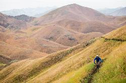
Two Dog
Hailey, Idaho
25.2 miles NEThe longest trail in the Croy Creek system, about 7.4 miles of non-motorized singletrack from Bullion Gulch Road over a sage saddle and down into the Croy Creek valley.
Hike, Mountain Bike 3.4 mi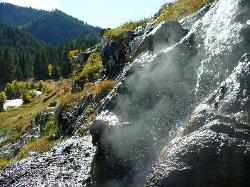
Skillern Hot Springs
Fairfield, Idaho
25.4 miles NA stunning six-mile trail along crystal-clear Big Smoky Creek to a hot spring — spectacular in fall, with two trail options and a sign marking the final three miles.
Camp, Hike, Hot Springs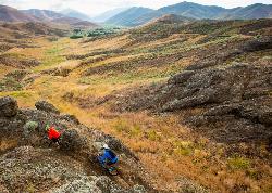
Croy Creek Trail System
Hailey, Idaho
26.1 miles NEAbout 18.5 miles of BLM and Blaine County singletrack in the sage foothills west of Hailey, rebuilt by IMBA after the 2013 Beaver Creek Fire and open early May to mid-November.
Atv/motorcycle, Hike, Mountain Bike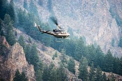
Carbonate Mountain
Hailey, Idaho
29.1 miles NESteep trail up the 6,714-foot hill directly west of downtown Hailey, with a 3.7-mile hiking loop, a six-mile advanced bike loop and wide views of the Wood River Valley.
Hike, Mountain Bike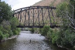
Wood River Trail
Hailey
29.8 miles NEA free paved path of 20-plus miles on the old Union Pacific rail bed, linking Bellevue, Hailey, Ketchum and Sun Valley. It is groomed for Nordic skiing in winter.
Cross-country Ski, Cycle, Hike
Quigley Canyon
Hailey
30.5 miles NEA year-round BCRD trail area in Quigley Canyon east of Hailey. Summer brings a pump track, flow trails, jump lines and a 4-mile loop, and winter brings over 20 km of groomed Nordic trails.
Cross-country Ski, Hike, Mountain Bike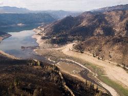
Anderson Ranch Reservoir
Pine
30.9 miles WA 14-mile Reclamation reservoir on the South Fork Boise River northeast of Mountain Home, best known for kokanee fishing. This pin marks the free Fall Creek Boat Ramp on the west shore, with free Forest Service campgrounds a short drive away.
Camp, Canoe, Hike, Kayak, Swim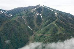
Bald Mountain Trail
Ketchum, Idaho
34.6 miles NEThe main hiking and uphill-only biking route up Bald Mountain, climbing about 5.2 miles and 3,200 feet from River Run Plaza in Ketchum. Many hikers stop at the Roundhouse about 4 miles up.
Hike, Mountain Bike
Adams Gulch Loop
Ketchum, Idaho
35.9 miles NEKetchum's busiest trail network, with easy loops on Shadyside and Sunnyside, the Griffin Butte intermediate loop and the one-way, bike-only Forbidden Fruit flow trail. The trailhead is less than two miles north of town.
Hike, Mountain Bike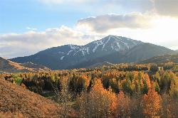
White Cloud Loop
Sun Valley, Idaho
36.3 miles NEA 4.2-mile dirt loop around the White Clouds golf course in Sun Valley, maintained by Sun Valley Company and open to hikers, runners, riders and leashed dogs. It dries out early in spring and looks across at Bald Mountain and the Boulder Mountains.
Hike, Mountain Bike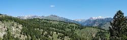
Fox Creek Loop
Ketchum, Idaho
38.5 miles NEA 6-mile singletrack loop north of Ketchum that climbs through the 2007 Castle Rock burn, drops through aspen and finishes along the Big Wood River. Bikes ride it one way, counter-clockwise.
Hike, Mountain Bike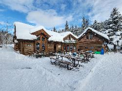
Harriman Trail
Ketchum
39.8 miles NEAn 18-mile gravel path from the Sawtooth National Recreation Area headquarters north of Ketchum to Galena Lodge. It is open to bikes, hikers and horses in summer and groomed by BCRD for Nordic skiing in winter.
Cross-country Ski, Cycle, Hike, Mountain Bike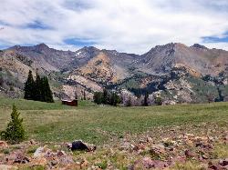
Pioneer Cabin Trail
Sun Valley
42.6 miles NEA steep, switchbacking trail from the Corral Creek trailhead east of Sun Valley to Pioneer Cabin, a 1937 Union Pacific ski hut with close views of the Pioneer Mountains.
Hike, Mountain Bike


