


4 Kayaking Areas near Cool, CA 95614
first prev 1 next lastShowing Kayaking Areas within 50 miles Distance miles of Cool, CA 95614, USA City, Zip, or Address
Add Location


American River Confluence
Auburn, California
2.1 miles NWThe Confluence — where the North and Middle Forks of the American River meet below Foresthill Bridge — is Auburn's favorite swimming and rafting hub.
Hike, Horseback, Kayak, Rock Climb, Swim, Whitewater 1.2-2.7 mi
Lake Clementine Trail Loop
Auburn, California
2.2 miles NWFour connected trails loop around Lake Clementine on the North Fork American River — wheelchair accessible, pet friendly, and great for fishing, camping, and family summer outings.
Camp, Canoe, Hike, Kayak, Mountain Bike, Swim
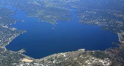
Granite Bay Main Beach
Granite Bay, California
11.4 miles SWThe largest sand beach on Folsom Lake, guarded in summer, twenty five minutes from downtown Sacramento at the end of Douglas Boulevard.
Canoe, Hike, Kayak, Swim
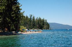
Sugar Pine Point Beach
Tahoma
49.8 miles EA quarter-mile walk from the parking lot puts you on a sand beach at the foot of Ed Z'berg Sugar Pine Point State Park, where General Creek meets Lake Tahoe and the water runs clear enough to read the bottom. It is also genuinely cold, even in August.
Camp, Hike, Kayak, Swim


