


Vikingsholm Beach
South Lake Tahoe
Hike, Kayak, and Swim
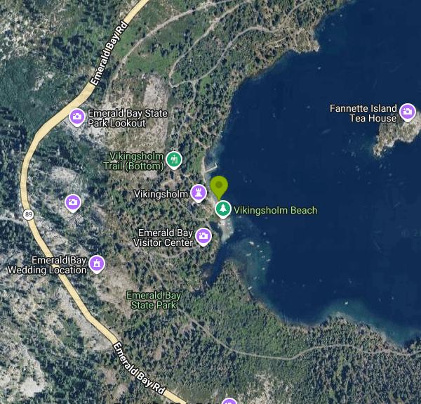
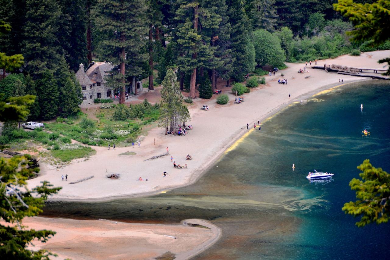
Vikingsholm Beach is the sandy shoreline at the head of Emerald Bay, on the southwest side of Lake Tahoe inside Emerald Bay State Park, which is run by California State Parks. The beach sits directly in front of Vikingsholm, the Scandinavian-style summer home Lora Josephine Knight built here in 1929, and looks straight down the bay toward Fannette Island, the only island in Lake Tahoe. Eagle Creek runs out of the canyon behind the house and spreads a small sand delta into the bay at the south end of the beach.
There is no road to the water. Most people park at the Vikingsholm lot on Highway 89 above the bay (the same lot as the Emerald Bay overlook) and walk a steep, well-graded one-mile trail down to the house and beach. The trail drops roughly 400 to 500 feet, and the climb back out at more than 6,000 feet of elevation is the hard part; State Parks warns that there are no rides out. The lot takes vehicles up to 18 feet, no trailers, and it fills early on summer days, when rangers may gate it to keep highway traffic moving. Do not park along Highway 89, where cars get towed. In summer the Emerald Bay Shuttle stops at the lot. You can also come in on the Rubicon Trail from Eagle Point Campground (about 2.5 miles) or from D.L. Bliss State Park, or paddle in by kayak.
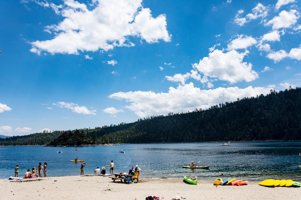
The swim area is the open water off the beach between the Vikingsholm pier and the Eagle Creek delta. The bottom is sand and gravel and stays shallow off the creek mouth before dropping into the deep blue water of the bay. Lake Tahoe is cold even in August, so expect a short swim unless you are used to mountain lakes. No lifeguards are listed for this beach. Boats and paddlers use the bay all summer, the speed limit within 600 feet of shore is 5 mph, and swimming out to Fannette Island is prohibited because of boat traffic.
The park and parking lot are open sunrise to sunset all year, and overnight parking is not allowed. The beach itself has no entry charge, but parking costs $10 per vehicle for the day or $3 for one hour, paid at a self-service machine that takes exact cash or a credit card. A day-use receipt is good at any California State Park that day, and California State Parks passes are accepted, but federal passes are not. Arriving on foot or by boat costs nothing.
Rules are strict here: no dogs anywhere on land, including the beach, trails and the grounds around Vikingsholm; no fires, smoking or drones; and no bikes on the trails. Restrooms behind the house stay open year-round, but there is no drinking water or other services from October through May, and snow and ice make the trail hazardous in winter. As of early October 2026, the Vikingsholm tour season and the Emerald Bay Boat Camp have closed for the year, while the beach and the Rubicon Trail remain open.
Tours of Vikingsholm run daily from late May through September 30, with tickets sold at the visitor center next to the house; proceeds go to the Sierra State Parks Foundation for restoration work. The waters of the bay have been part of the park since 1994, and scuba divers can follow the Emerald Bay Maritime Heritage Trail to sunken boats and barges, some sitting 10 to 40 feet down. Lower Eagle Falls is a short walk up the creek from the house.
More Information
Emerald Bay State Park - Wikipedia
From Wikipedia, the free encyclopedia
https://en.wikipedia.org/wiki/Emerald_Bay_State_ParkVikingsholm Castle - Visit Lake Tahoe
Considered one of the finest examples of Scandinavian architecture in North America, Vikingsholm castle sits on the shore of Emerald Bay with astonishing views of Lake Tahoe. Built in 1929, Vikingsholm represents unique blend of art and history.
https://visitlaketahoe.com/things-to-do/vikingsholm-castle/Vikingsholm — Sierra State Parks Foundation
Learn about Sierra State Parks Foundation’s guided tours of Vikingsholdm during the summer months.
https://www.sierrastateparks.org/vikingsholmBe courteous, informed, and prepared. Read trailhead guidelines, stay on the trail, and don't feed the wildlife.
Read More
- Plan Ahead and Prepare
- Travel & camp on durable surfaces
- Dispose of waste properly
- Leave what you find
- Minimize campfire impacts
- Respect wildlife
- Be considerate of other visitors
Directions
From South Lake Tahoe
- Head south on Lake Tahoe Blvd toward Los Angeles Ave (2.4 mi)
- Turn right onto CA-89 N/
Emerald Bay Rd (8.7 mi) - Turn right (299 ft)
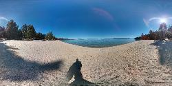
 Vikingsholm Beach and the Eagle Creek sand delta at the head of Emerald Bay, seen from the slope abo courtesy of Mike McBey↗ (CC BY 2.0↗)
 Swimmers and kayakers on the sand at the head of Emerald Bay, looking out toward Fannette Island. courtesy of m01229↗ (CC BY-SA 2.0↗)
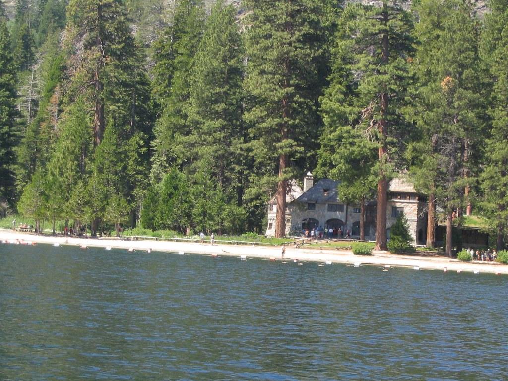
 The beach and Vikingsholm seen from the water of Emerald Bay. courtesy of Ken Lund↗ (CC BY-SA 2.0↗)
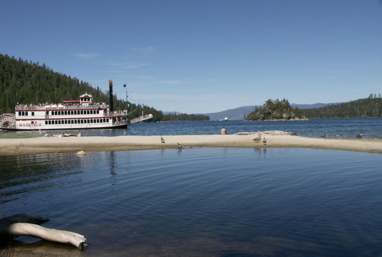
 A Lake Tahoe paddle-wheel boat turning off the sand spit at the head of Emerald Bay. courtesy of Annette Teng↗ (CC BY 3.0↗)
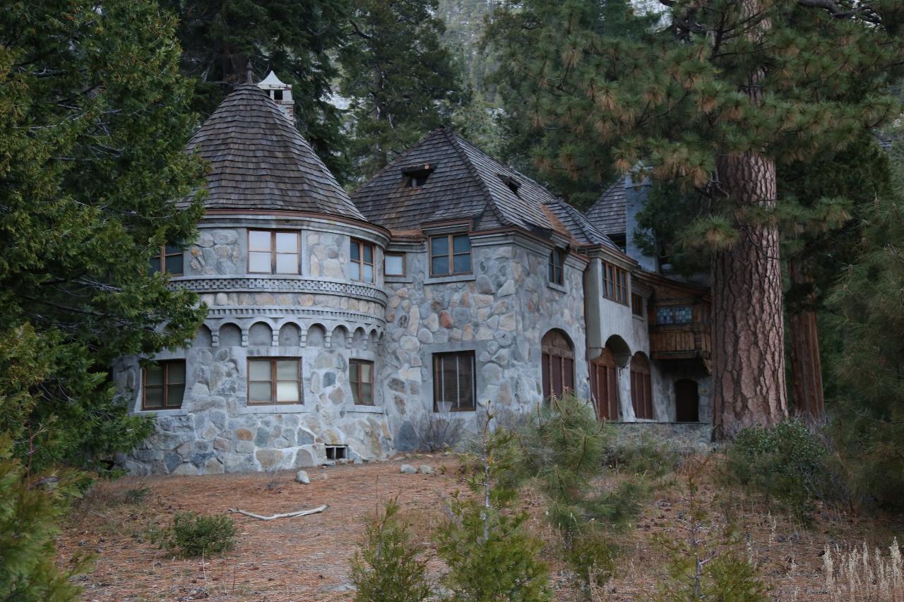
 Vikingsholm as seen from the beach in front of it. courtesy of Kevin Payravi↗ (CC BY-SA 4.0↗)
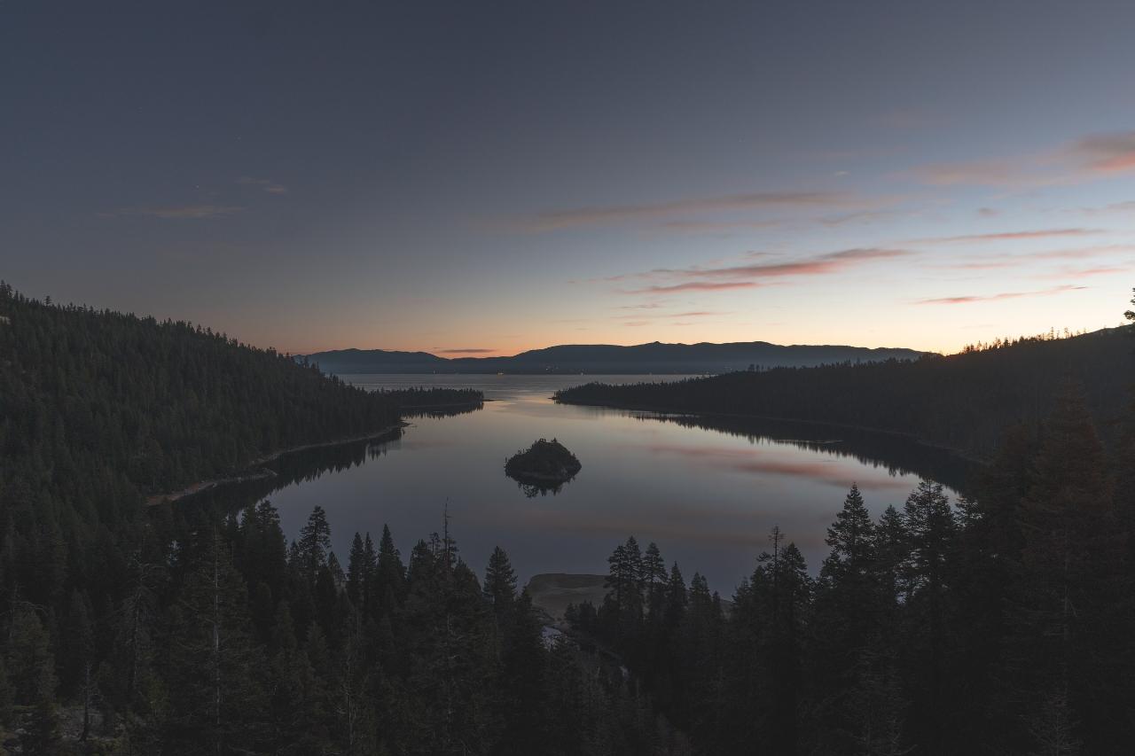
 Emerald Bay at dusk from above the head of the bay, with Fannette Island in the middle of the water. courtesy of Levi Bare levibare1↗ (CC0↗)
Other Swimming Holes, Hiking Trails, and Kayaking Areas Nearby
Lester Beach
South Lake Tahoe
3.3 miles NLester Beach is the sandy main swim beach at D. L. Bliss State Park on Lake Tahoe's west shore, with clear, cold, shallow water and a $10 per vehicle day-use fee in season.
Camp, Canoe, Hike, Kayak, Swim 0.4 mi
Glen Alpine Falls
South Lake Tahoe, California
5.3 miles SA roadside waterfall near Lake Tahoe — wider than it is tall — with roadside parking, a scenic overlook, and the option to scramble down the rocks for a closer look.
Hike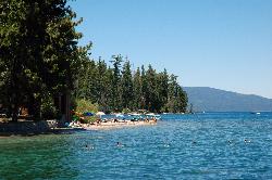
Sugar Pine Point Beach
Tahoma
7.1 miles NA quarter-mile walk from the parking lot puts you on a sand beach at the foot of Ed Z'berg Sugar Pine Point State Park, where General Creek meets Lake Tahoe and the water runs clear enough to read the bottom. It is also genuinely cold, even in August.
Camp, Hike, Kayak, Swim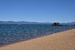
Nevada Beach Campground
Zephyr Cove
8.4 miles EA mile of wide, coarse granite sand on the Nevada shore of Lake Tahoe, with a long shallow shelf that makes it one of the easiest big beaches on the lake to swim from. The Forest Service concessionaire charges a per vehicle day use fee at the Elks Point R
Camp, Hike, Kayak, Swim
Zephyr Cove Park
Glenbrook, Nevada
9.6 miles NESix tennis courts, disc golf, a sledding hill, a beach, and a fishing pond all at one free park make Zephyr Cove one of Lake Tahoe's most versatile family hangouts.
Camp, Canoe, Disc Golf, Hike, Horseback, Kayak, Swim 1.5 mi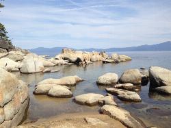
Skunk Harbor
Carson City, Nevada
15.4 miles NEA forest service road hike from the 28 freeway to a secluded beach area near Carson City with mountain views, a historic building, and a marker — dogs welcome.
Hike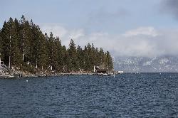
Lake Forest Beach
Tahoe City
15.8 miles NA free public beach at the end of Bristlecone Street, owned by Placer County and run by the Tahoe City Public Utility District. Sandy, pine shaded and genuinely quiet, with the one real constraint being how few cars fit at the end of the road.
Camp, Canoe, Kayak, Swim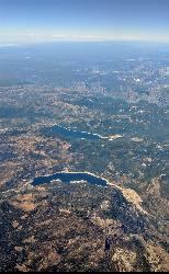
Hell Hole Reservoir
Georgetown
18.2 miles NWA 4,630 foot Rubicon River reservoir in the Eldorado National Forest, 51 miles and two hours east of Georgetown, where the boat ramp cove is the only drivable shoreline and the lake drops over 100 feet by September.
Camp, Canoe, Hike, Kayak, Swim 4.1 mi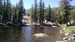
Shirley Lake Canyon Trail
Olympic Valley, California
18.5 miles NWA 2.5-mile hike from Squaw Valley Village past streams and waterfalls to a pure Sierra lake — rocky near the top, with a free gondola ride back down from High Camp as a reward.
Hike, Swim
Shirley Canyon
Olympic Valley, California
19.0 miles NWShirley Canyon is widely regarded as one of Lake Tahoe's finest half-day hikes, a spectacular climb up a granite canyon that rises straight out of the base of the Palisades Tahoe ski resort in...
Hike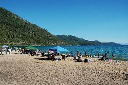
Sand Harbor State Park
Incline Village
19.3 miles NEA Nevada State Parks day-use beach on Lake Tahoe's northeast shore near Incline Village, with a 2,500-foot sandy swim beach, very clear cold water and a $10 entry fee ($15 for non-Nevada vehicles).
Hike, Kayak, Swim
Tahoe Area
Olympic Valley, California
19.4 miles NWSwim near Olympic Valley, California
Swim
Kings Beach State Recreation Area
Kings Beach
20.1 miles NA wide sand beach with a shallow, gently sloping entry on Lake Tahoe's north shore, run by California State Parks in downtown Kings Beach. Parking costs $3 an hour or $10 a day, charged year round.
Kayak, Swim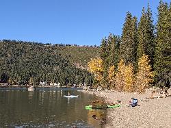
China Cove Beach
Truckee
26.6 miles NChina Cove Beach is the sandy, shallow corner at the west end of Donner Memorial State Park, on the south shore of Donner Lake outside Truckee. California State Parks runs it, access is open to anyone paying the 10 dollar day use parking fee, and there is
Camp, Canoe, Hike, Kayak, Swim
Palisades Creek Trail
Truckee, California
29.9 miles NWA difficult Sierra Nevada trail past Palisade Falls — one of the tallest on the American River — with views of Devils Peak, alpine lakes, and 2,000 feet of elevation gain.
Hike, Swim
Heath Falls Overlook Trail
Truckee, California
29.9 miles NWHike and Swim near Truckee, California
Hike, Swim
Boca Reservoir Hidden Beach
Truckee, California
32.3 miles NSandy informal beaches on the northeast shore of Boca Reservoir above Truckee, free to use, windy in the afternoons, and drawn down hard by the end of summer.
Camp, Canoe, Kayak, Kiteboard, Swim
North Fork Falls
Colfax, California
37.4 miles NWClear water, cliff-jumping pools, and waterfalls at Sierra Nevada's North Fork Falls — a summer hike to two deep pools with 10-to-25-foot cliffs ready for leaping.
Camp, Hike, Swim
Reno Area
McGill, Nevada
42.4 miles NSwim near McGill, Nevada
Swim
Wingfield Park
Reno, Nevada
42.4 miles NAn oasis in downtown Reno where manmade dams and natural rock formations turn the Truckee River into a playground for swimming, kayaking, tubing, and rafting.
Kayak, SwimNearby Campsites
Lester Beach
South Lake Tahoe
3.3 miles NLester Beach is the sandy main swim beach at D. L. Bliss State Park on Lake Tahoe's west shore, with clear, cold, shallow water and a $10 per vehicle day-use fee in season.
Camp, Canoe, Hike, Kayak, Swim
Sugar Pine Point Beach
Tahoma
7.1 miles NA quarter-mile walk from the parking lot puts you on a sand beach at the foot of Ed Z'berg Sugar Pine Point State Park, where General Creek meets Lake Tahoe and the water runs clear enough to read the bottom. It is also genuinely cold, even in August.
Camp, Hike, Kayak, Swim
Nevada Beach Campground
Zephyr Cove
8.4 miles EA mile of wide, coarse granite sand on the Nevada shore of Lake Tahoe, with a long shallow shelf that makes it one of the easiest big beaches on the lake to swim from. The Forest Service concessionaire charges a per vehicle day use fee at the Elks Point R
Camp, Hike, Kayak, Swim
Zephyr Cove Park
Glenbrook, Nevada
9.6 miles NESix tennis courts, disc golf, a sledding hill, a beach, and a fishing pond all at one free park make Zephyr Cove one of Lake Tahoe's most versatile family hangouts.
Camp, Canoe, Disc Golf, Hike, Horseback, Kayak, Swim
Lake Forest Beach
Tahoe City
15.8 miles NA free public beach at the end of Bristlecone Street, owned by Placer County and run by the Tahoe City Public Utility District. Sandy, pine shaded and genuinely quiet, with the one real constraint being how few cars fit at the end of the road.
Camp, Canoe, Kayak, Swim
Hell Hole Reservoir
Georgetown
18.2 miles NWA 4,630 foot Rubicon River reservoir in the Eldorado National Forest, 51 miles and two hours east of Georgetown, where the boat ramp cove is the only drivable shoreline and the lake drops over 100 feet by September.
Camp, Canoe, Hike, Kayak, Swim
China Cove Beach
Truckee
26.6 miles NChina Cove Beach is the sandy, shallow corner at the west end of Donner Memorial State Park, on the south shore of Donner Lake outside Truckee. California State Parks runs it, access is open to anyone paying the 10 dollar day use parking fee, and there is
Camp, Canoe, Hike, Kayak, Swim
Boca Reservoir Hidden Beach
Truckee, California
32.3 miles NSandy informal beaches on the northeast shore of Boca Reservoir above Truckee, free to use, windy in the afternoons, and drawn down hard by the end of summer.
Camp, Canoe, Kayak, Kiteboard, Swim
North Fork Falls
Colfax, California
37.4 miles NWClear water, cliff-jumping pools, and waterfalls at Sierra Nevada's North Fork Falls — a summer hike to two deep pools with 10-to-25-foot cliffs ready for leaping.
Camp, Hike, Swim


